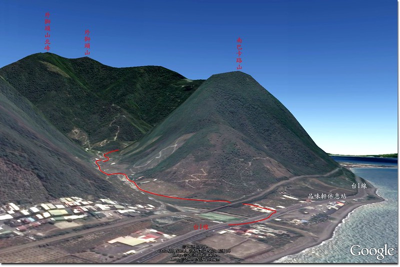
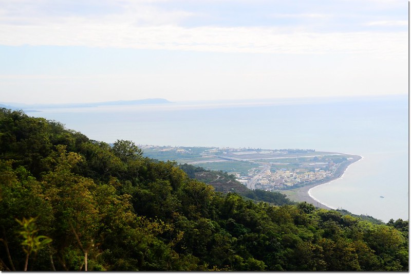
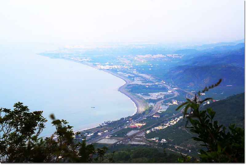
南巴卡路山鳥瞰圖
巴卡路山是中央山脈南尾稜諸多支稜其中一支,自大漢山向西南經南湖呂、霧里乙南山、外獅頭山到枋山小山頭後轉向西北延伸終止於台一線末端的一個名不見經傳的小山頭,正位在屏東縣獅子鄉品味軒休息站的西邊,海拔323公尺,行政區隸屬於屏東縣獅子鄉。
該山年前小李兄曾提起過,搜尋紀錄僅得約十年前祥馬及7777先生兩篇,但兩篇紀錄對該山路況的描述是有點令人望而卻步,因此一直未前往一探;直至今年出國前得知叩晌兄已於六月中旬登頂該山,但當時出國在即而未成行。日昨邀約姚老、阿標等前往一探,藉著叩晌兄的航跡由南稜上登,本以為距叩晌兄登頂時間不遠,應可撿個“軟仔”,事與願違,搞得虛累累,南部的一些小山頭真不容小視!
-------------------------------------------------------------------------------------------------------
攀登山頭:南巴卡路山(海拔323公尺,GPS顯示327公尺),屏東縣獅子鄉
起登高度:海拔65公尺
登山里程:來回約4.5公里
總爬升高度:320公尺
登山時間:上山 3小時11分,下山 1小時45分,午餐休息1小時37分
合計6小時33分
同登山友:姚老、阿標伉儷
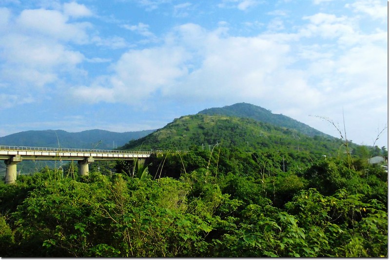
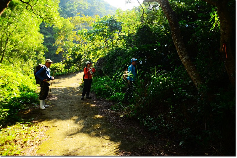
台1線品味軒休息站前仰望南巴卡路山(阿標拍攝)
-------------------------------------------------------------------------------------------------------
行車資訊:
屏東沿台1線南下,在里程約447.9K品味軒休息站前閃黃燈處左轉“南世內獅聯絡道路”,入口巷子有一家“小地方海鮮店”,里程歸零,直行過南迴鐵路下小涵洞,行約1.6K叉路口右轉(電線桿“加祿堂幹221 L33”);
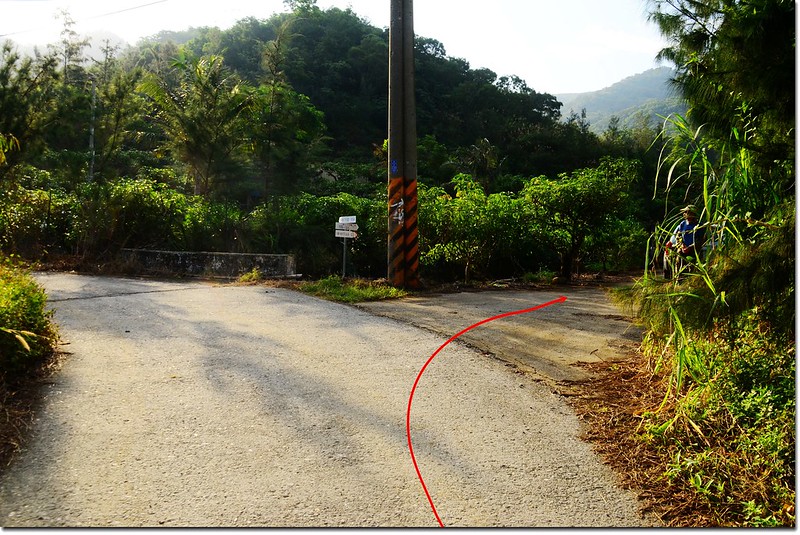
南巴卡路行車1.6K岔
右入小產道數十公尺陡下切走一小段水路共用道路,從岔路口進入行約160公尺水泥路終止,看前方路況不甚佳,左轉入果園農路上行;
南巴卡路行車岔
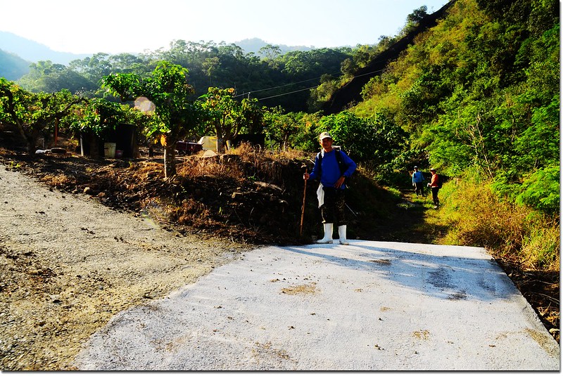
數十公尺後停車於轉彎空地。
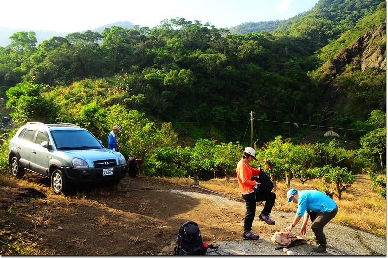
南巴卡路停車處
步程簡述:
08:32 停車處出發,循原路下行。
08:33 回到產道水泥路終止處左轉。
08:35 遇幾近乾涸小溪流,由河床越過;
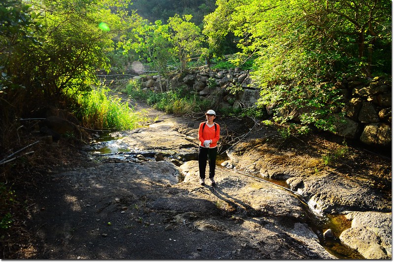
南巴卡路小溪
過河床後不遠遇岔路(電線桿“加祿堂幹221 L33R8”),右上水泥路面入果園不取,取左土路沿小溪右岸前行(我們在此走錯耽擱幾分鐘)。
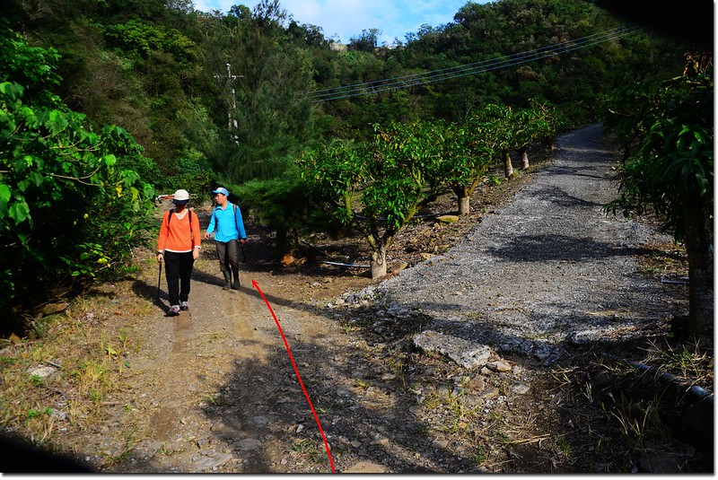
南巴卡路山岔
08:46 再遇小溪流,左側菓園工寮幾隻狗狂吠,仍由河床越過,然後沿小水泥產道上山。
南巴卡路小溪
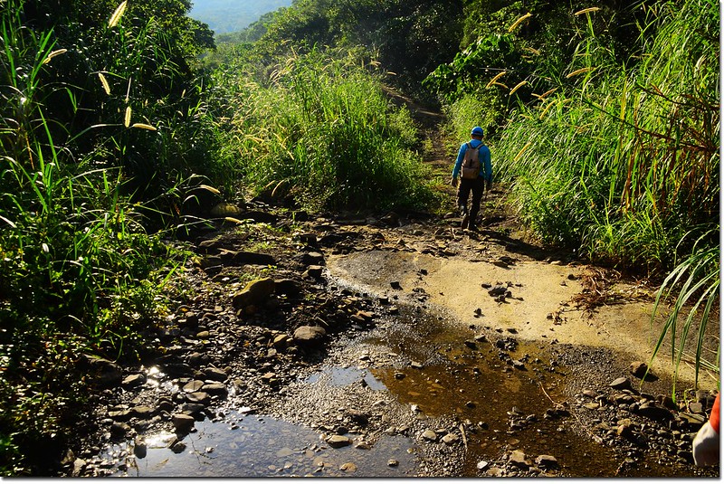
08:50 抵南巴卡路山登山口(座標213962 2465380,標高93公尺),距停車處約750公尺;
南巴卡路登山口
登山口在路右一條長滿野草的廢棄產道,廢棄產道口相思樹綁兩條路條,右轉沿廢棄產道上行。
南巴卡路登山口
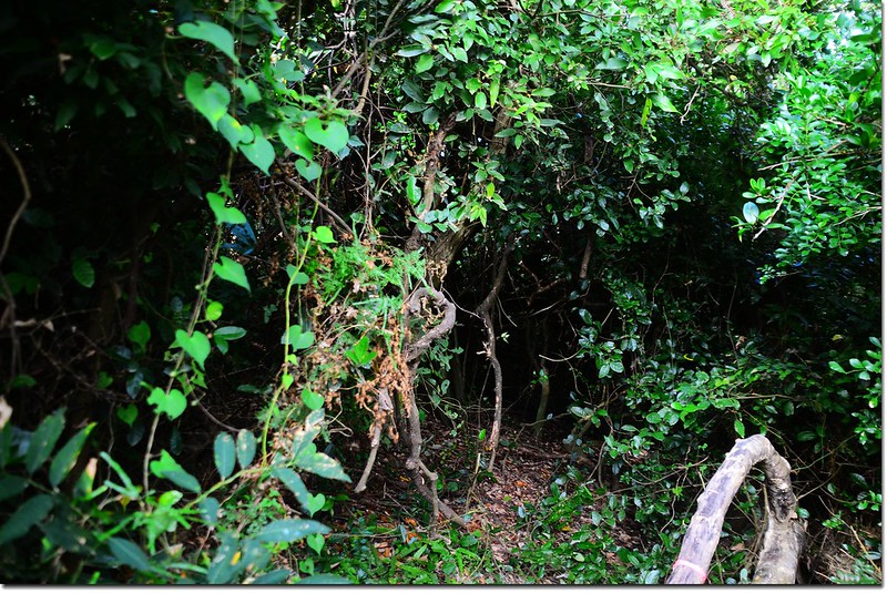
08:57 疑似產道盡頭(座標213853 2465364,標高110公尺),距登山口約135公尺;左右各有路跡,取直入林,入口處有一橘色路條。
廢產道盡頭
09:05 過一小乾溪溝。
登南巴卡路山途中
南巴卡路小乾溪溝
09:15 過一大乾溪谷(座標213725 2465307,標高123公尺),隨即右上切,上切後循稜而上。
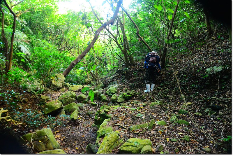
南巴卡路大乾溪谷
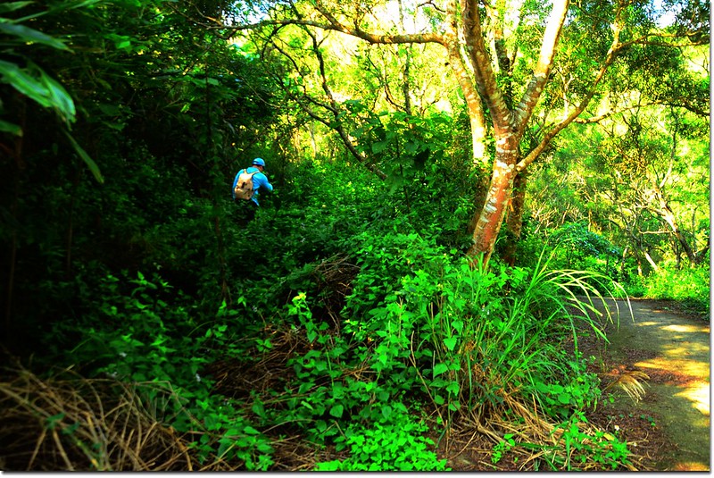
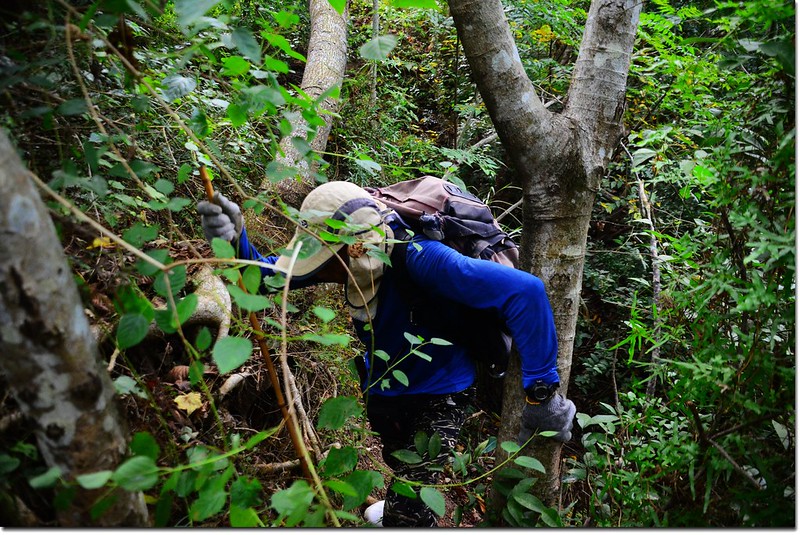
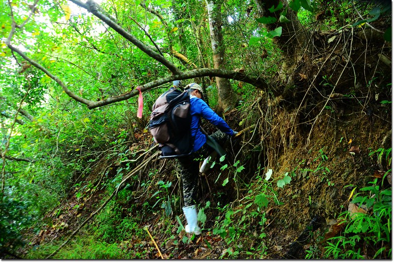
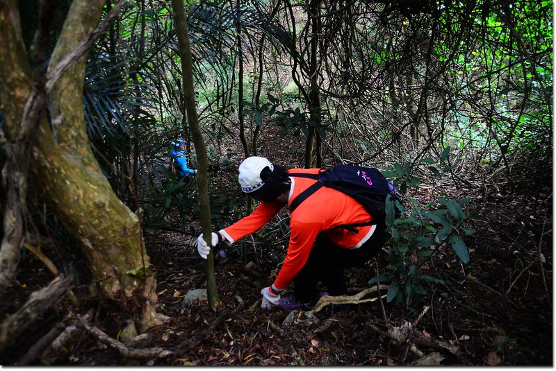
09:41 開始陡上坡,地面易滑動,須借助小樹、樹根穩住身子上攀,但要抓樹幹前要確認是否有刺,途中好多“山柑仔刺”等荊棘植物,要爬、要砍、要躦,很累。
南巴卡路急陡坡
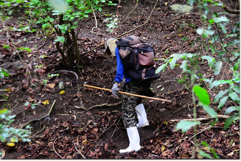
登南巴卡路山途中
10:38 登上稜線279山頭(座標213440 2465257,標高274公尺),距南巴卡路山山頂直線距離約250公尺(實走約430公尺),累得像條狗,休息。
南巴卡路279山頭 (無展望)
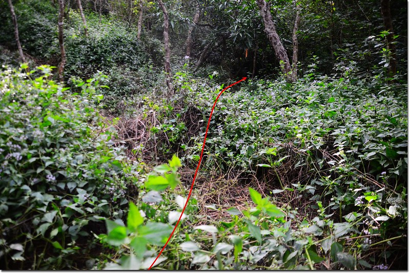
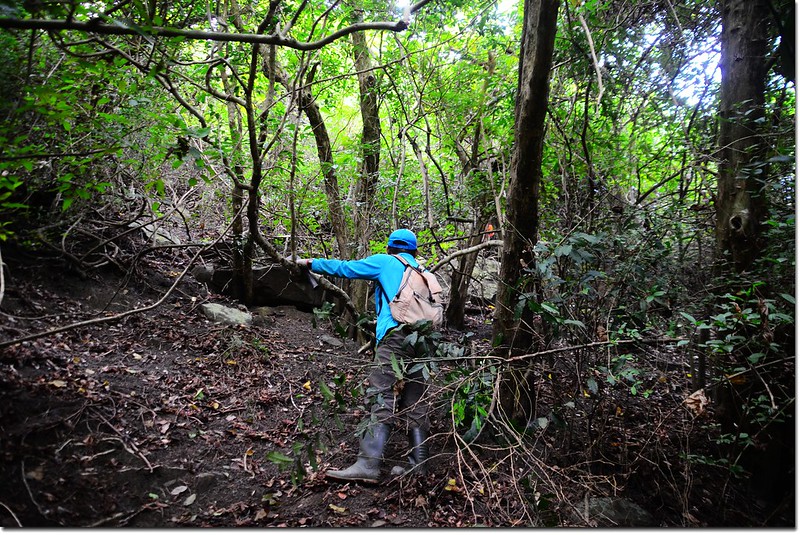
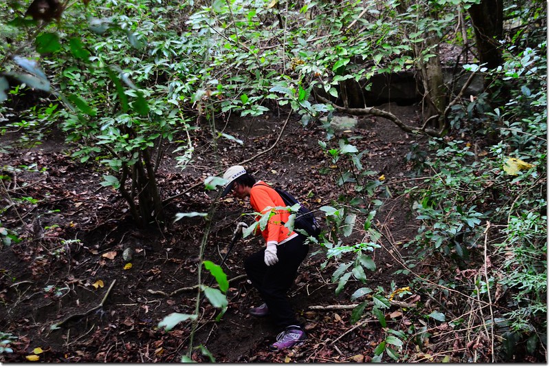
10:45 右轉沿稜線西北行,先下坡到一鞍部;原以為上了稜線應該就輕鬆了,哪知才是噩夢的開始,一路皆在荊棘、蔓藤中披荊斬棘、奮力前進,要不是阿標前行開導,我和姚老兩個老頭一定累癱在稜線上;此行之難度不亞於一年前的蚊罩山。
10:48 前面荊棘擋道很難穿越,左腰繞,回程走右腰繞,建議走右腰繞較安全(座標213430 2465281,標高268公尺)。
11:00 稜線低鞍(座標213404 2465321,標高263公尺),開始往南巴卡路山山頂爬升,荊棘密布,前進緩慢。
登南巴卡路山途中遙望東南方向
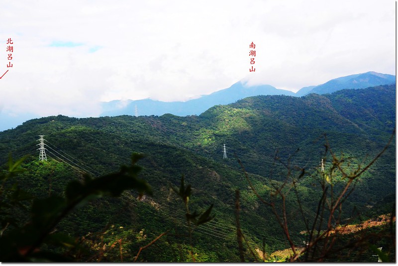
南巴卡路山稜線遙望東北南北湖呂稜線
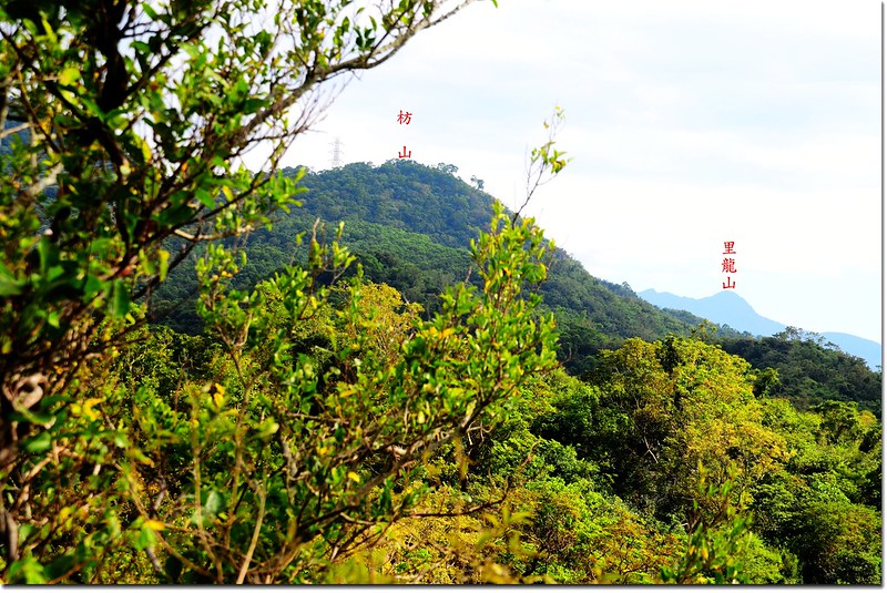
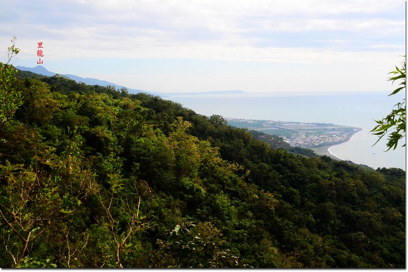
南巴卡路山稜線遙望東南枋山(L)、里龍山(R)
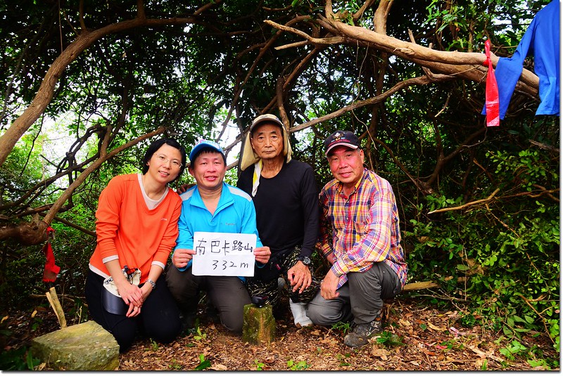
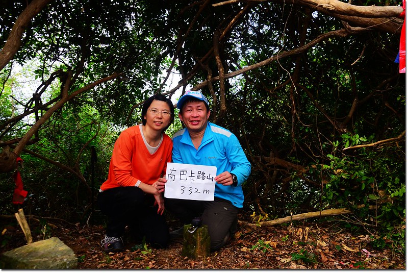
11:40 登頂南巴卡路山,短短一條四百公尺的稜線竟然走了一個小時,沒偷懶哦!
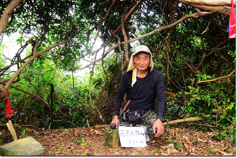
南巴卡路山標高323公尺(GPS顯示327公尺),山頂立有一顆台灣省政府圖根補點,座標213282 2465446,側面被刻上“三七二”。
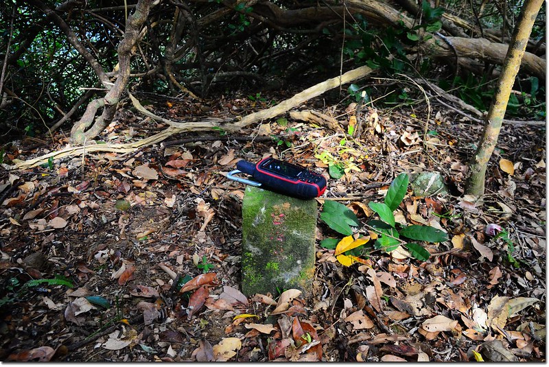
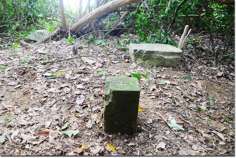
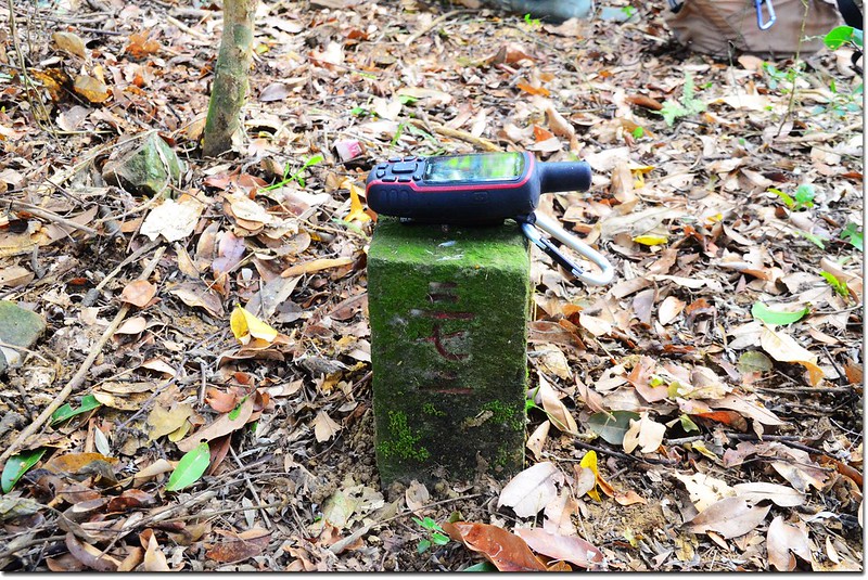
南巴卡路山台灣省政府圖根補點(Elev. 323 m)
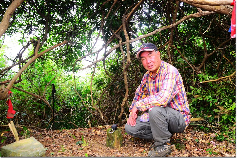
山頂四周雜林密布,難有好展望;原本狹小的山頂經阿標大肆整頓,已清出一片蠻大的空地,我們笑稱是否要方便山熊帶隊來時團拍之用!
南巴卡路山頂
我們在山頂用中餐、泡茶,我爬上小樹叢好不容易拍到一些南北方向的展望。
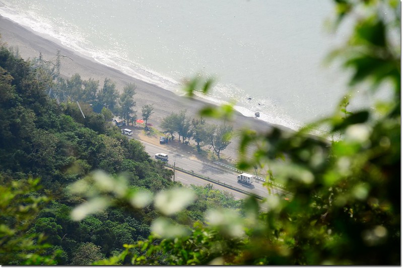
南巴卡路山頂俯瞰台1線
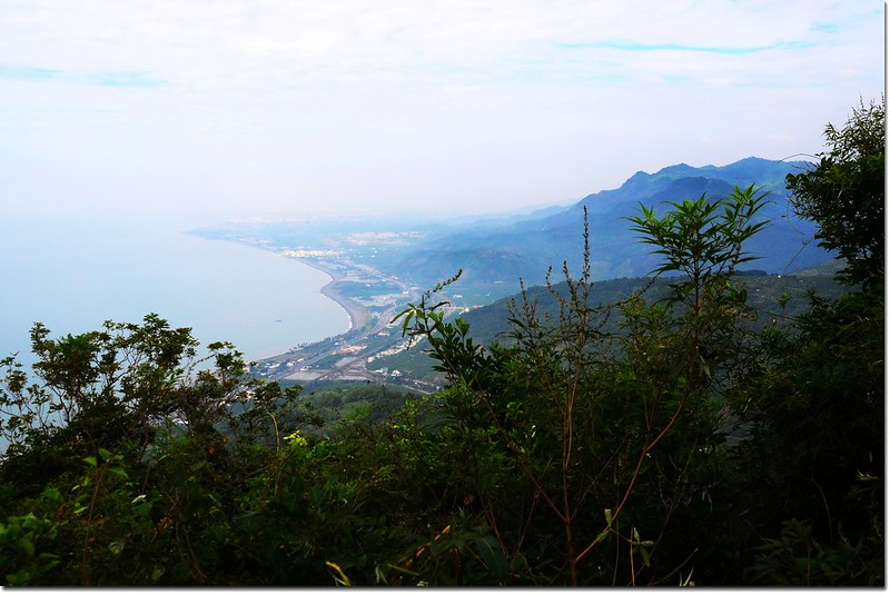
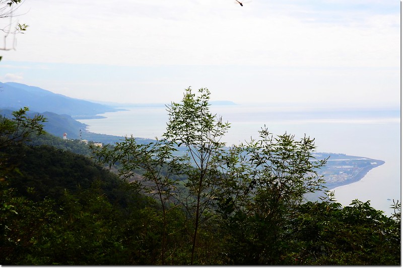
南巴卡路山頂西北展望
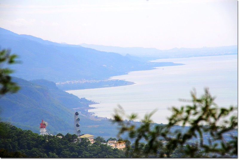
南巴卡路山頂東南展望
13:20 在山頂靡爛了一個多小時後循原路下山,由於上山時的開路,下山是輕鬆多了。
13:44 下到低鞍。
13:50 回到279山頭,左轉下切。

登南巴卡路山途中
14:42 返抵登山口,左轉沿水泥產道下山。
15:05 回到停車處,整裝後開車返高,小小一座郊山,搞得“虛累累”,嬌皮嫩肉者不太建議爬此山!
沒有留言:
張貼留言