Herman Lake
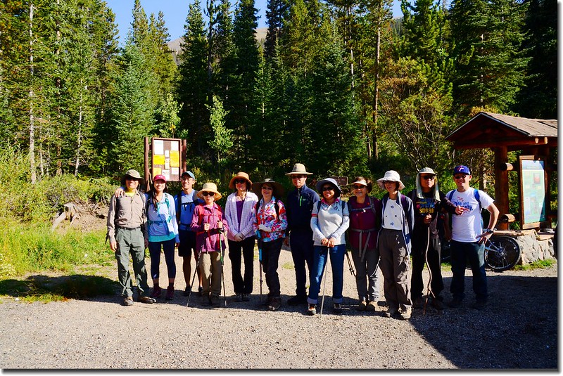
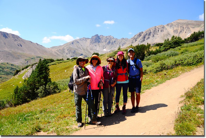
今天參加華人登山隊去攀登Herman Gulch的Herman Lake,該湖前年才和貝貝去攀登過,當時我又單獨攀登湖後的13ers~Pettingell Peak,今天貝貝忙作業無法同行,僅我一人趕到Golden集合地點供程前往登山口。
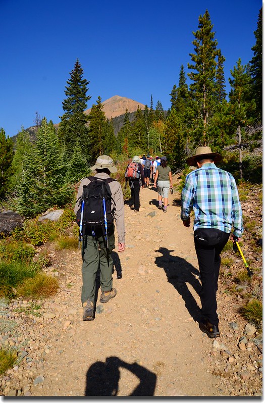
Herman Lake位在小鎮Bakerville北邊Herman Gulch上游Pettingell Peak山腳下一處開闊的苔原台地上,正在大陸分水嶺下方,Herman Gulch Trail是一條老少咸宜很容易親近的步道,有人稱他是“urbanite(都市人)”步道,所以假日時登山客蠻多的。
-------------------------------------------------------------------------------------------------------
攀登湖泊:Herman Lake,海拔11,987呎(3,654公尺)
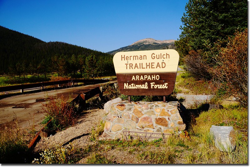
登山口:Herman Gulch Trailhead(海拔10,300呎 / 3,139公尺)
登山里程:來回6.5哩(10.4公里)
總爬升高度:約1,700呎(518公尺)
登山時間:5小時20分
-------------------------------------------------------------------------------------------------------
行車資訊:
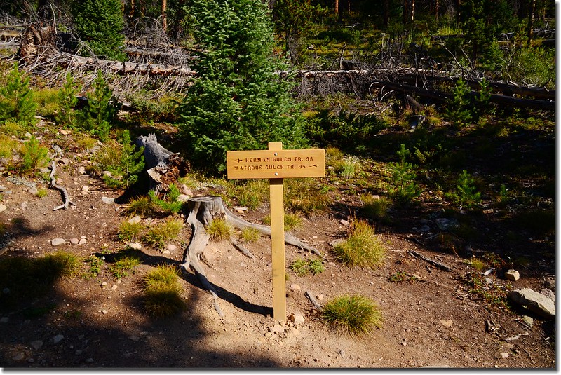
由丹佛沿I-70州際公路西行,然後在Exit 218出口下交流道,隨即右後轉彎行駛一條兩三百呎的石子路即抵達Herman Gulch Trailhead,登山口有一處蠻大的停車場,登山口就在停車場的北邊中間位置,此登山口是Herman Gulch Trail和Watrous Gulch Trail共用登山口。
步程簡述:
09:10 登山口出發;
Herman Gulch Trailhead
Herman Gulch Trailhead
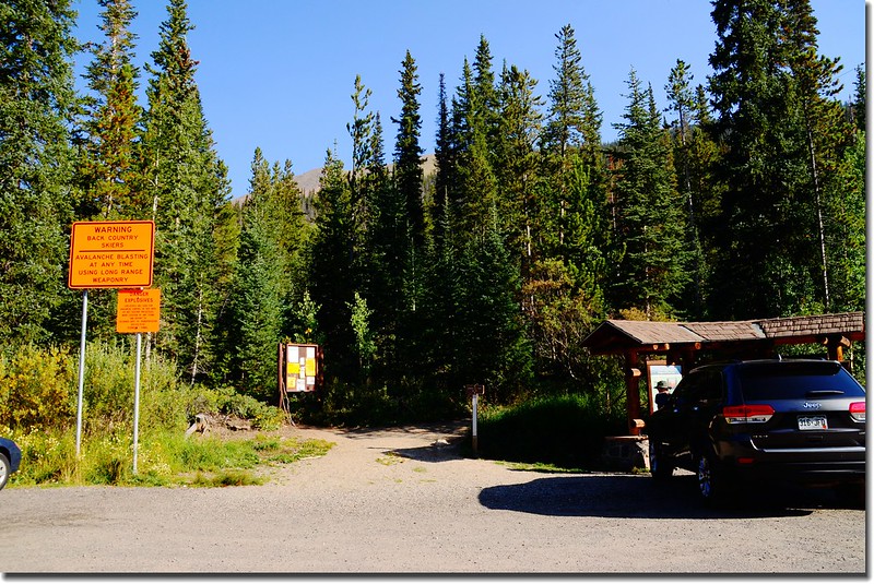
由登山口小亭旁沿Watrous Gulch Trail往東前進;
Herman Gulch Trailhead
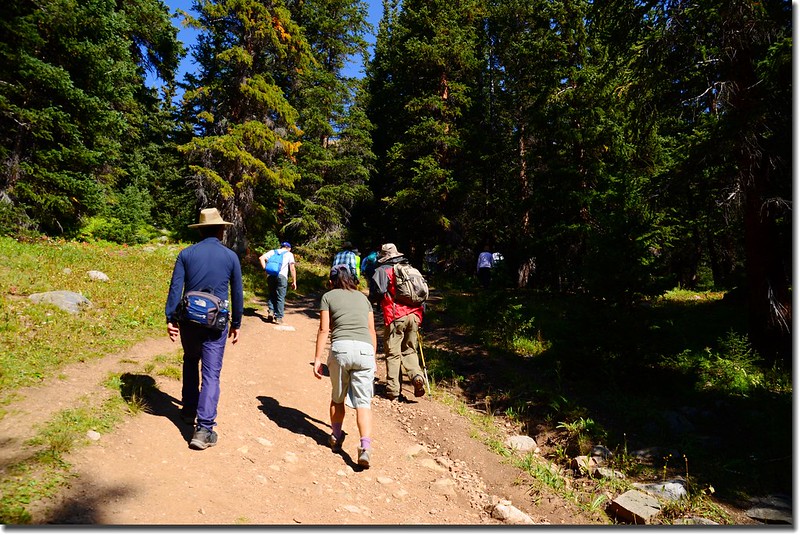
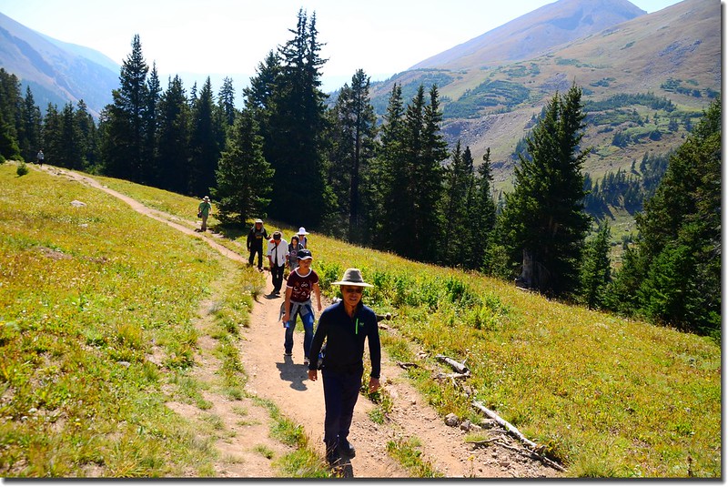
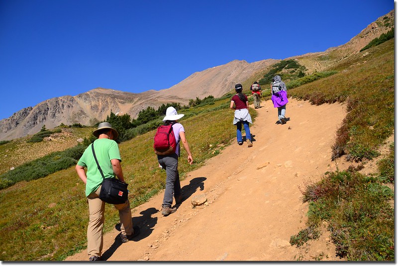
一開始數百呎的步道在松林中平緩前進,步道維護得很好。
09:12遇Herman Gulch Trail和Watrous Gulch Trail岔路,海拔10,376呎(3,163公尺),距登山口約900呎(274公尺);
Herman Gulch Trail & Watrous Gulch Trail junction
取左上朝西北往Herman Lake。
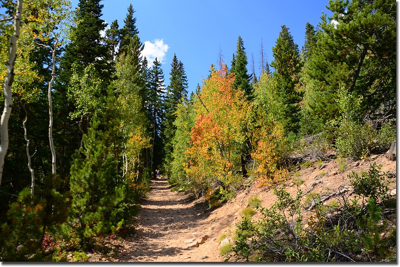
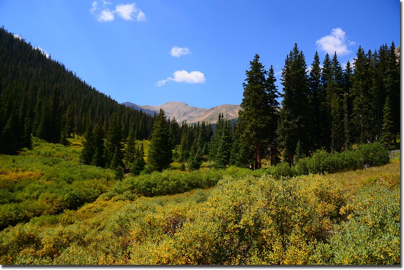
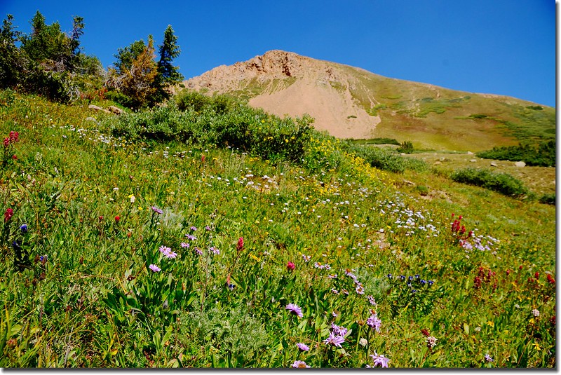
這一段上坡路段較為陡峭,地面小砂石也較為鬆散,小徑還算寬敞,左側山谷下是Herman Gulch Creek,兩側白楊木(Aspen)葉子少數開始轉黃,估計葉子變色盛期約再三個禮拜;
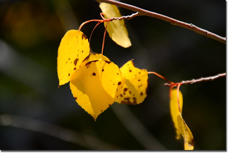
Aspen leaves are turning yellow
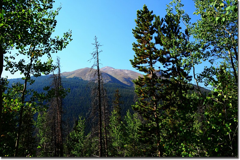
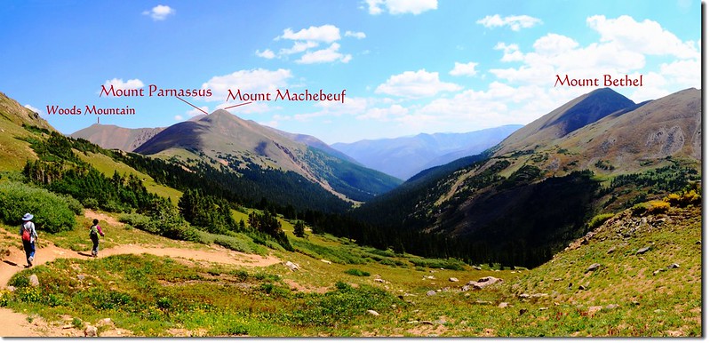
沿途正前方是海拔3,872公尺的Mount Bethel;
Herman Lake Trail
左邊越過I-70州際公路看到的則是海拔4,034公尺的Mount Sniktau。
Mount Sniktau as seen from Herman Gulch Trail
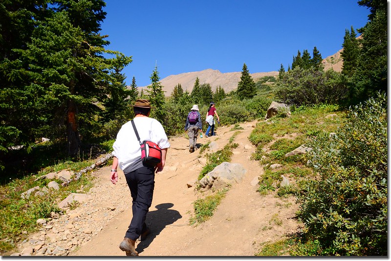
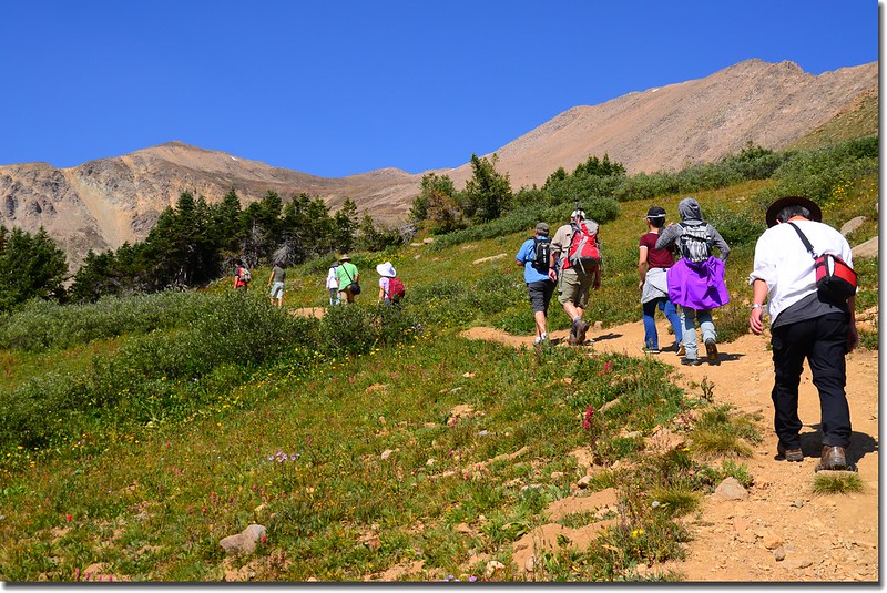
行約半哩後海拔約10,700呎(3,261公尺)步道趨緩,緊鄰小溪右岸上行,步道旁偶而出現小面積的草原及一種這裡稱為Willow的小喬木,這種植物Moose最喜歡吃了,所以紀錄上這裡也常出現Moose活動的足跡。
Herman Lake Trail
09:29 陡坡結束,出現小片草原,視野豁然開闊。
Mount Sniktau as seen from Herman Gulch Trail
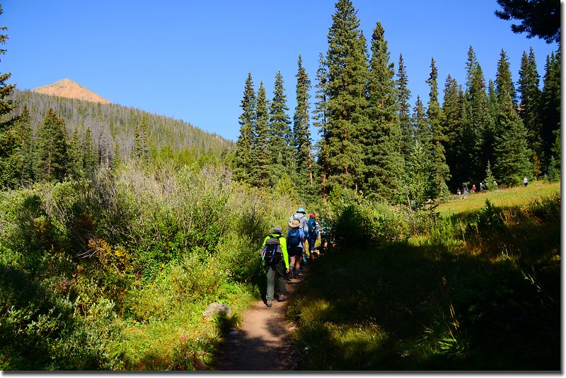
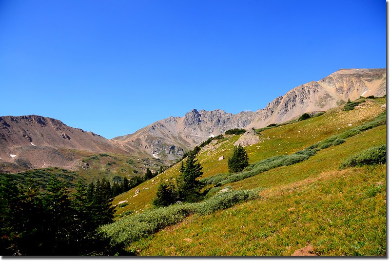
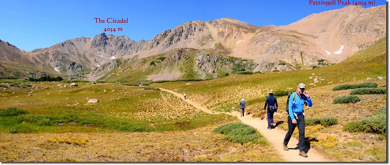
09:47 眼前出現大片草原,海拔約10,940呎(3,335公尺),距登山口約1.05 哩(1.68公里),大陸分水嶺巨龍似的橫亙在前方遠處,大陸分水嶺中央山頭是海拔13,553呎(4,131公尺)的Pettingell Peak。
Pentingell Peak from Herman Gulch Trail
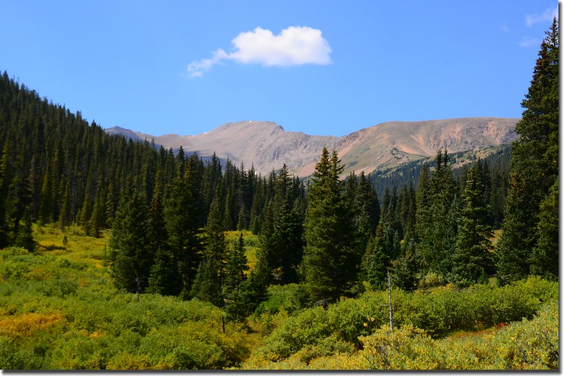
A close up view of Pettingell Peak. Herman Lake sits at the base of the peak
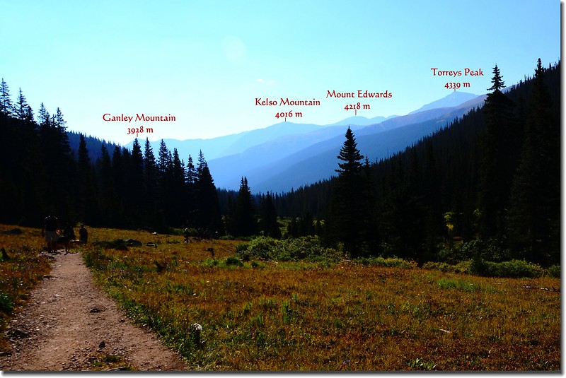
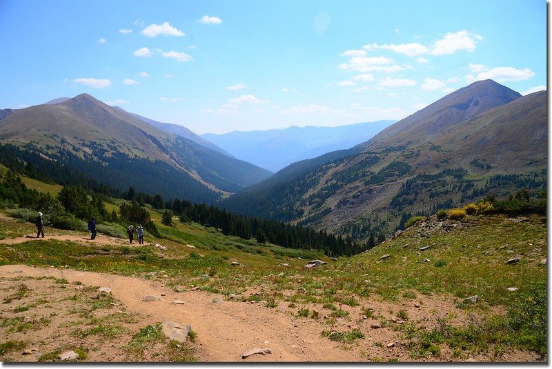
Look back down valley to see Torreys Peak and the Kelso Ridge from the trail
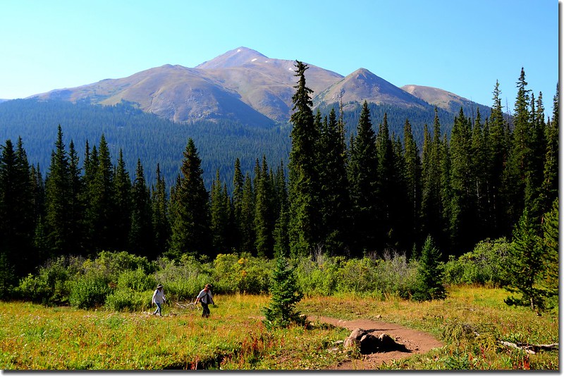
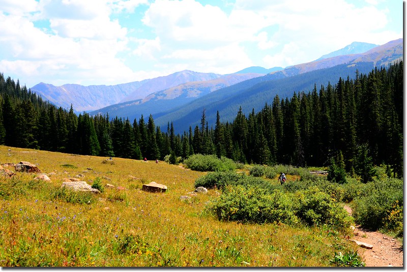
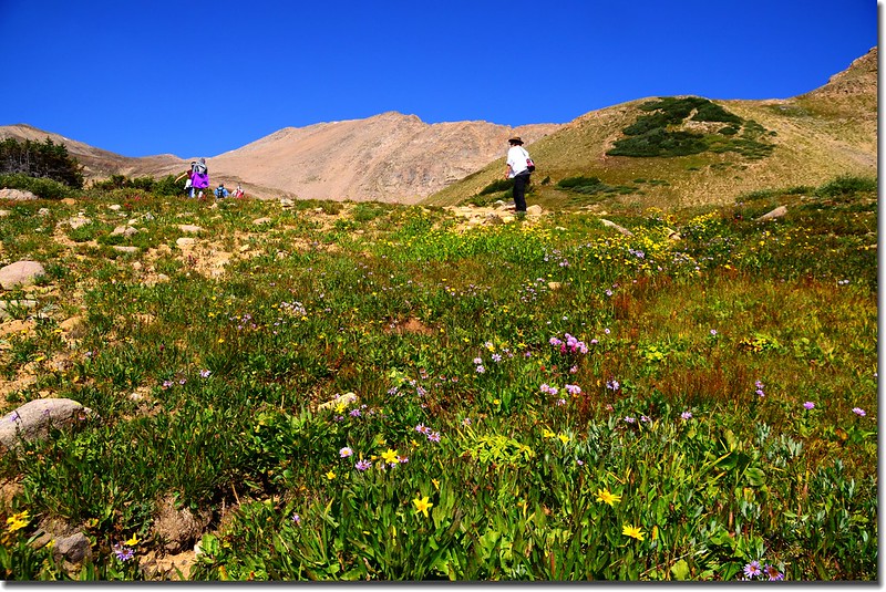
10:01 步道穿過幾處松林後又出現一處大草原,海拔約11,288呎(3,441公尺),距登山口約2.0 哩(3.2公里);
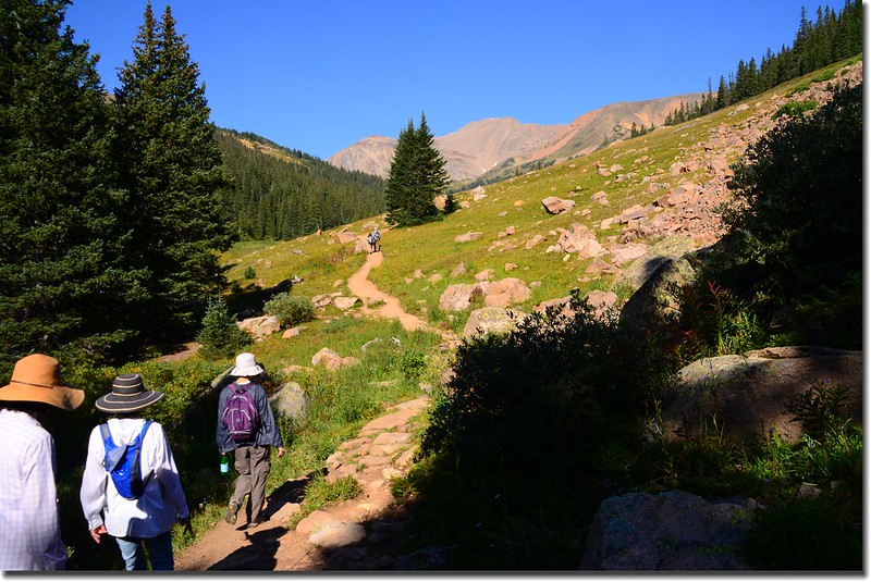
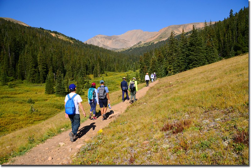
Herman Lake Trail
過此草原步道進入松林並開始有感覺的上升。
10:30 步道再轉為陡升,此段陡升坡約有超過半哩路。
Herman Lake Trail
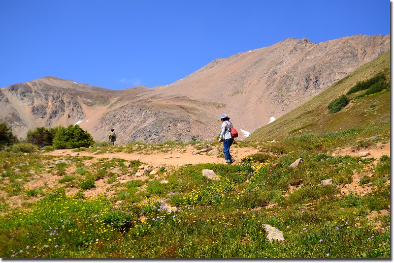
10:47 抵達Herman Lake和Jones Pass Trail 岔路,此處海拔約11,838呎(3,608公尺),距登山口約2.85 哩(4.56公里);
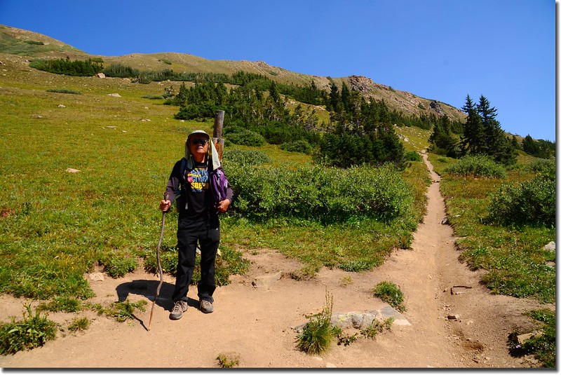
Tony on the junction of Herman Lake & Jones Pass Trail
Herman Lake & Jones Pass Trail junction
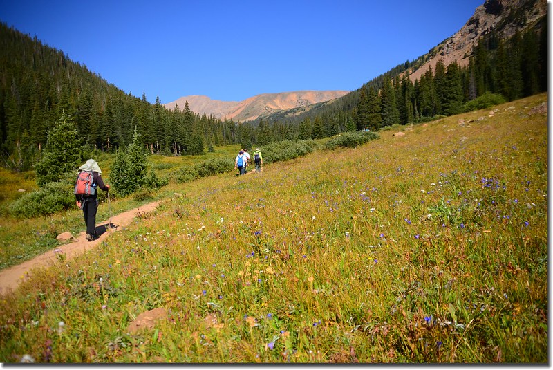
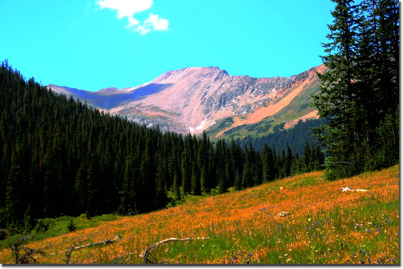
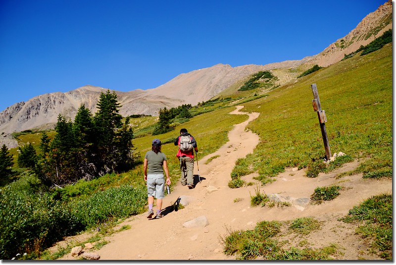
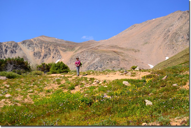
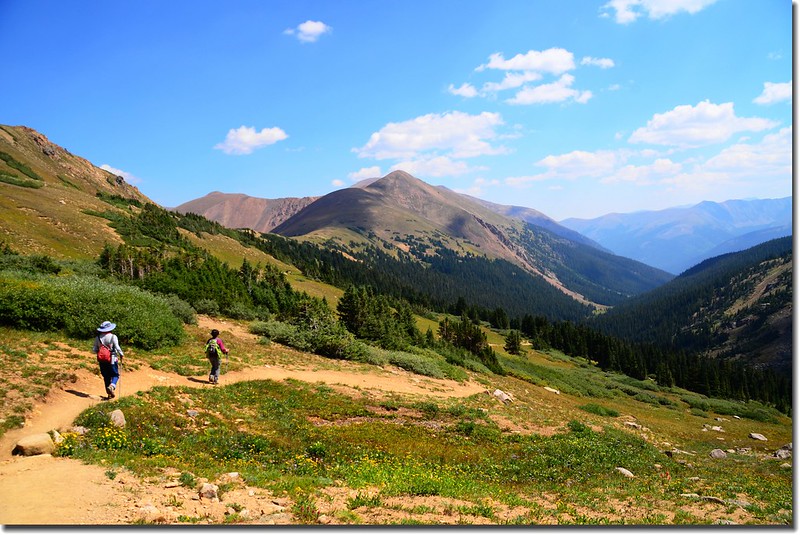
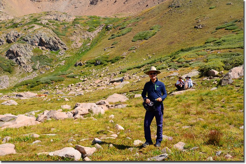
取左往Herman Lake,步道進入高山地形上升一段路後上抵寬闊的苔原地帶;
The final approach to Herman Lake
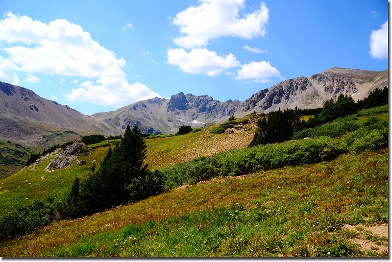
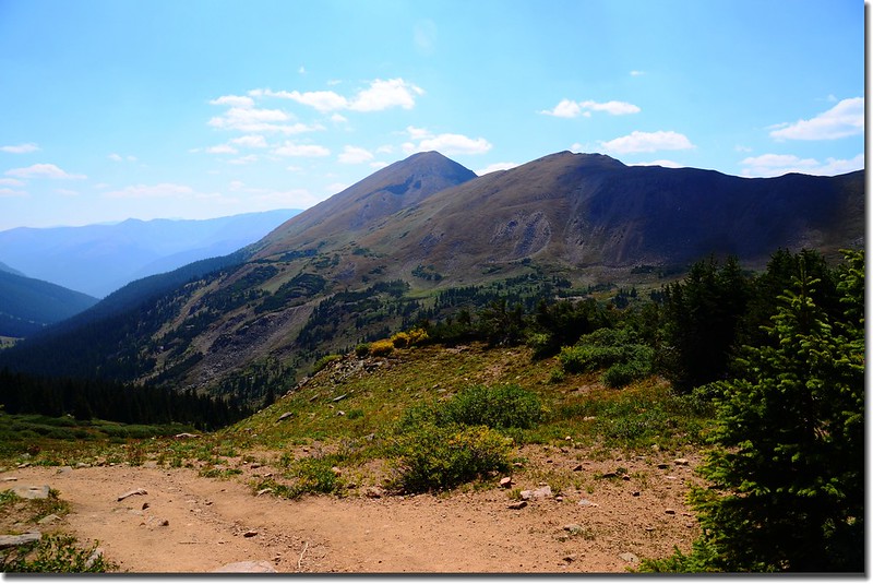
Hiking up the gulch with wonderful views of The Citadel (13,294')
Wildflowers along the trail
步道續往西北朝Pettingell Peak山腳下前進。
The trail leveled off in the tundra as near Herman Lake
On the trail up Herman Lake, looking back down on the Herman Gulch
Looking southeast at Mount Bethel (12,705') from a knoll above Herman Lake
Facing east from Herman Lake trail, Mount Parnassus in the distance
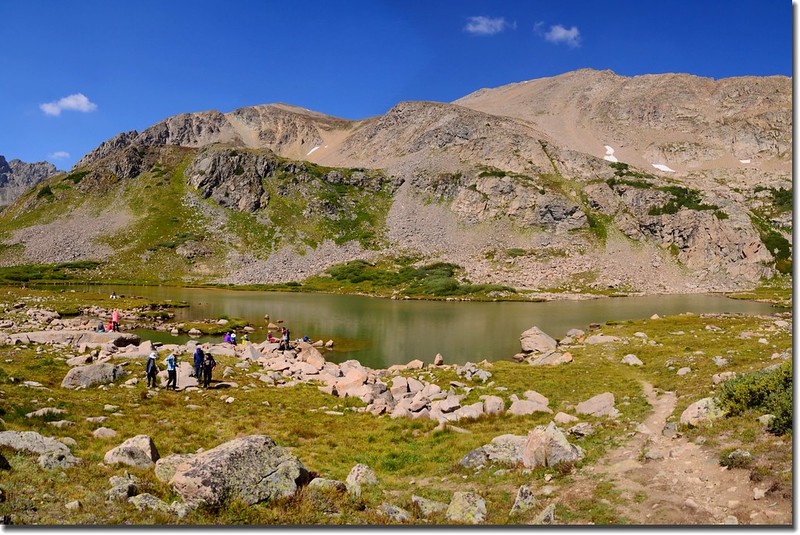
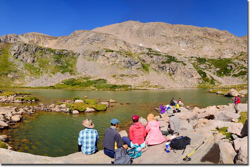
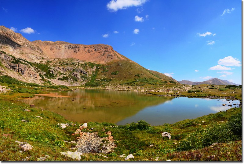
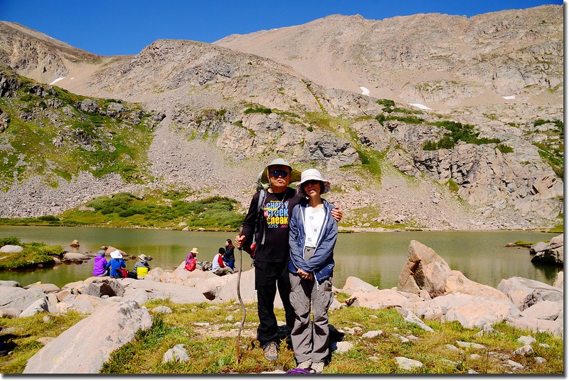
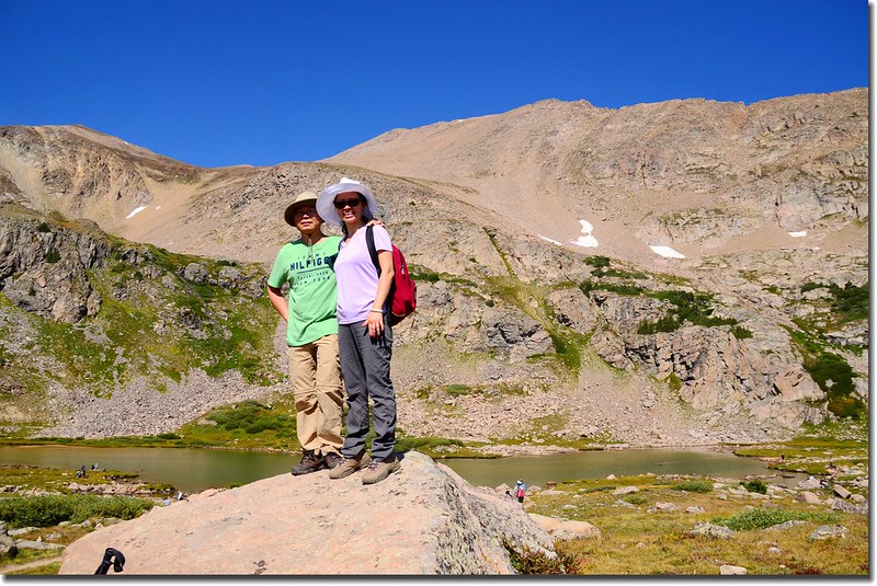
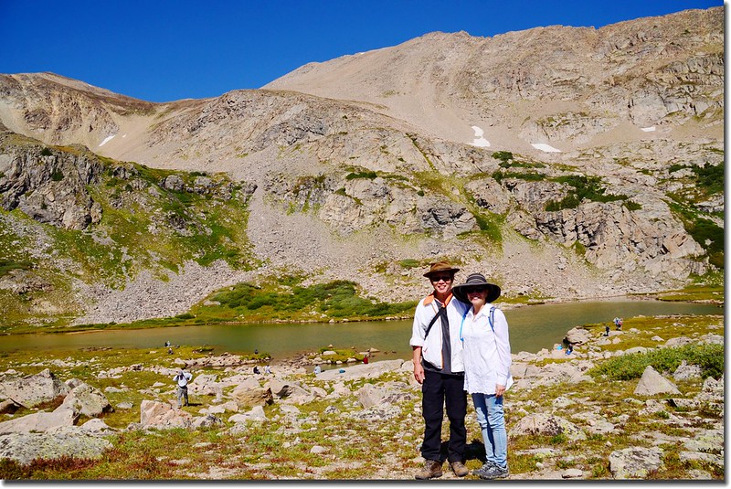
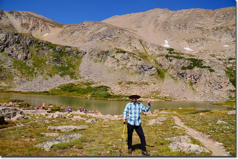
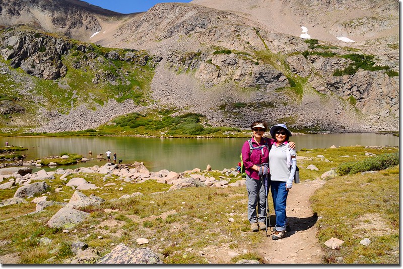
11:00 抵達Herman Lake,海拔11,987呎(3,654公尺),距登山口約3.25哩(5.2公里);

Herman Lake
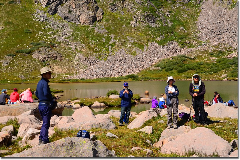
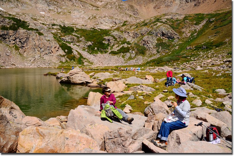
Herman Lake位在海拔13,553呎(4,131公尺)的Pettingell Peak山腳下,湖面不大,湖岸都是大小石塊,我們各自找岩石在上面休息用餐!
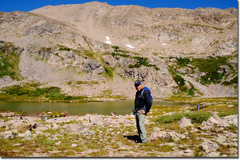
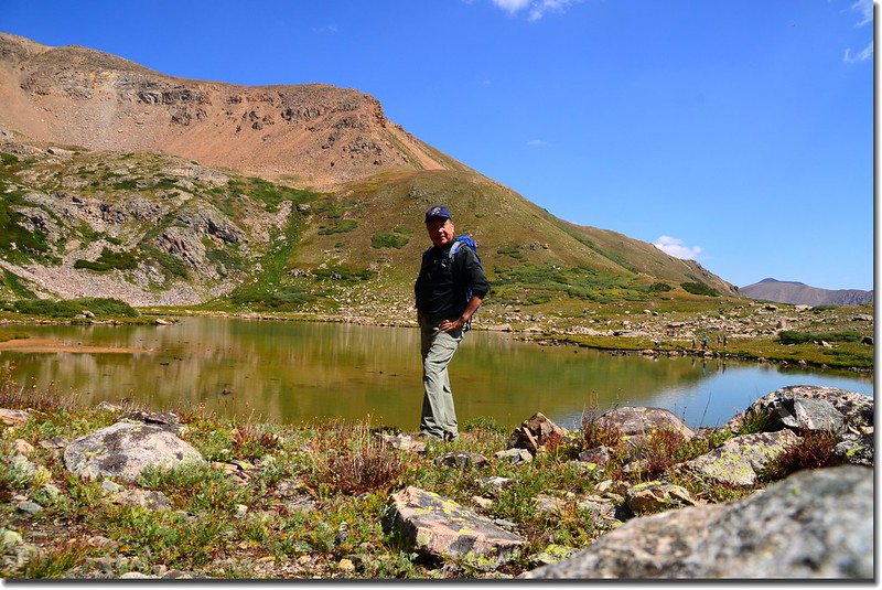
Me on the Herman Lake
Taken from Herman Lake
11:30 有些山友晚上有事趕著下山,而另一領隊品菁女士陪著另一山友李安女士一直未上來,我是搭品菁女士的便車因不確知她們是否要上山,所以也跟著山友一起下山;當行約0.5哩過了Herman Lake和Jones Pass Trail 岔路後遇上了她們兩位正要上山,我又陪她們上到Herman Lake,在湖邊休息了半個多小時才下山。
Taken from the trail near 11,838'
Taken from Herman Lake
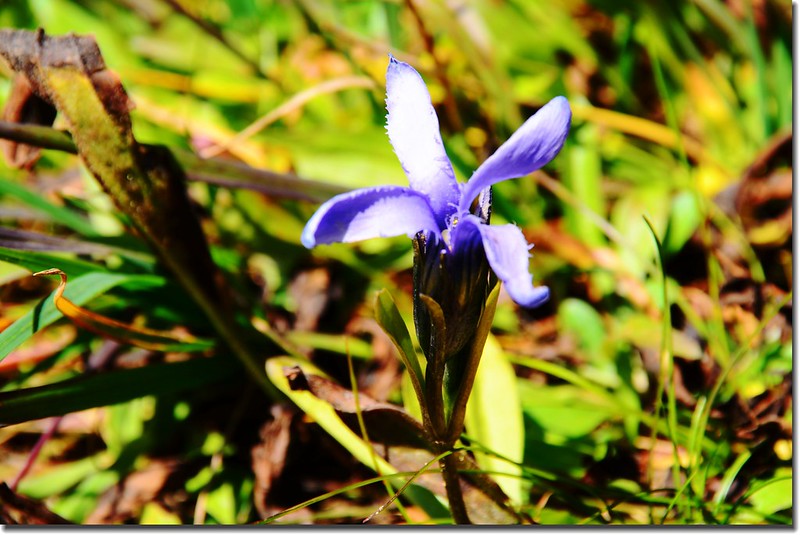
Fringed Gentian
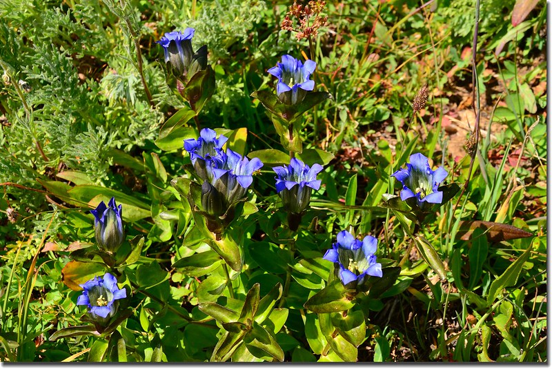
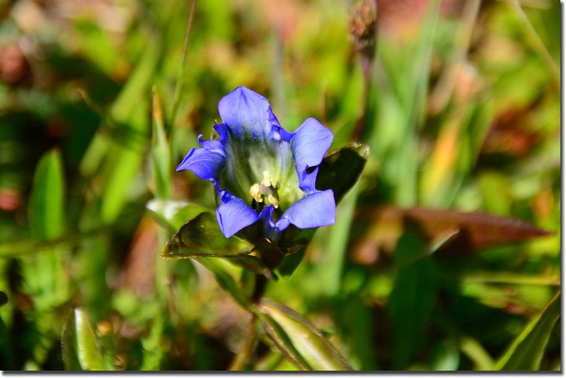
Mountain gentian
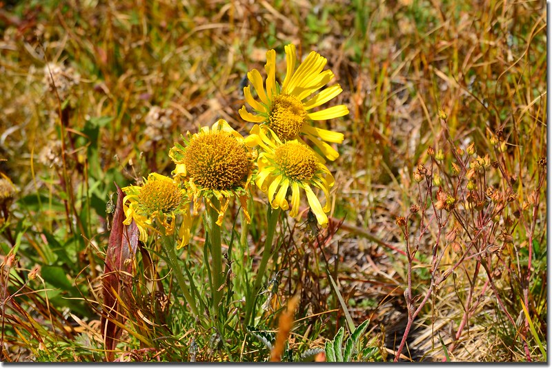
Alpine Sunflower (Old man of the mountain)
14:30 回到登山口,搭品菁女士的便車回Golden,沿途I-70州際公路對向的車陣像條長龍,下禮拜一是Labor Day,Long weekend老美幾乎都往山上跑,不知他們要塞到何時才能抵達目的地,還好我們下山這向不塞車,很快抵達Golden後各自開車回家!
沒有留言:
張貼留言