
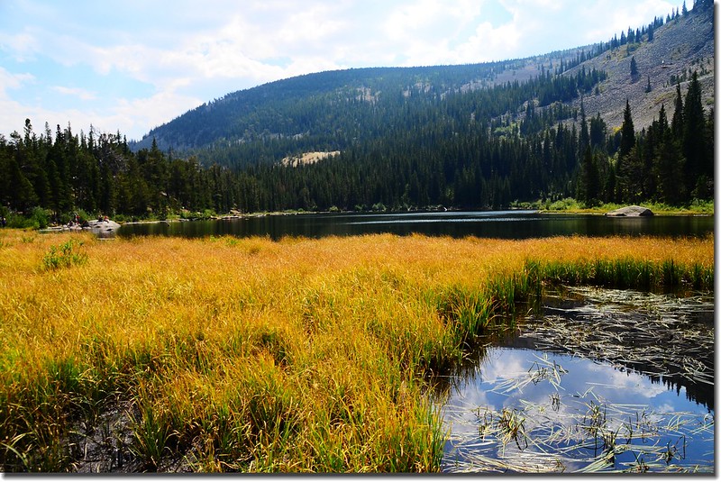
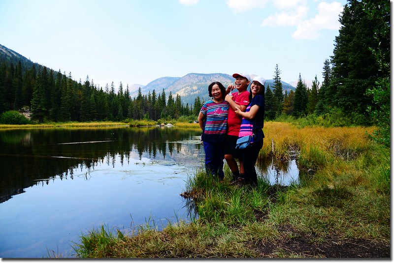
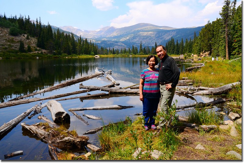
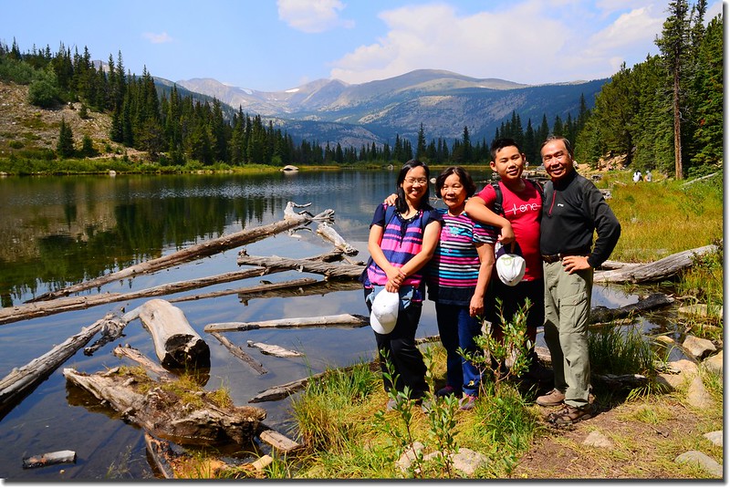
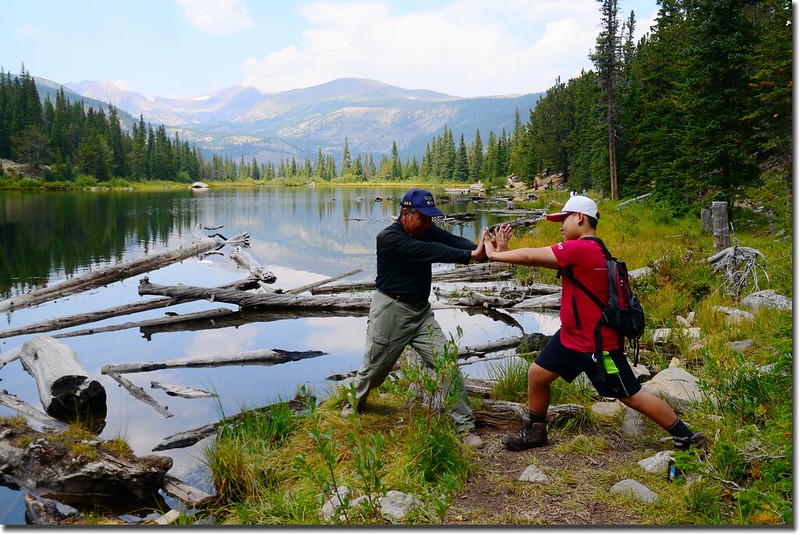
Lost Lake
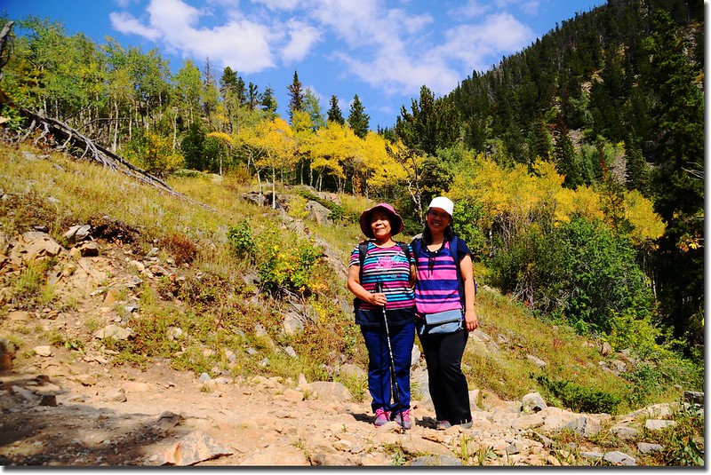
今天是美國的勞動節(Labor Day),本來要帶家人去登Brainard Lake Recreation Area園區的Blue Lake,沒想到車子開到收費亭前數百呎處便大排長龍,排了一陣子車子一動也不動,心想不知要排到何時,況且看此狀況依往常經驗裡面停車場也早已無車位,和家人討論後回頭改登Eldora附近的Lost Lake,隨即掉頭開回Nederland,將車子放在Park-n-Ride搭免費的Shuttle Bus到登山口Hessie Trailhead,因經驗告訴我此刻Hessie Trailhead的停車位早已客滿!
經此折騰抵達登山口停車處已將近是上午十一點鐘,隨即從登山口停車處出發。
--------------------------------------------------------------------------------------------------------
攀登湖泊:Lost Lake,海拔9,798呎(2,986公尺)。
登山口:Hessie Trailhead (約9,000呎 / 2,743公尺)
登山總里程:來回約4哩(6.4公里)
總爬升高度:約1,000呎(305公尺)
花費時間:4小時20分
--------------------------------------------------------------------------------------------------------
步程簡述:
10:40 從Shuttle Bus下車處CR 130 (The Fourth of July Road) 與Hessie Trailhead岔路口出發。
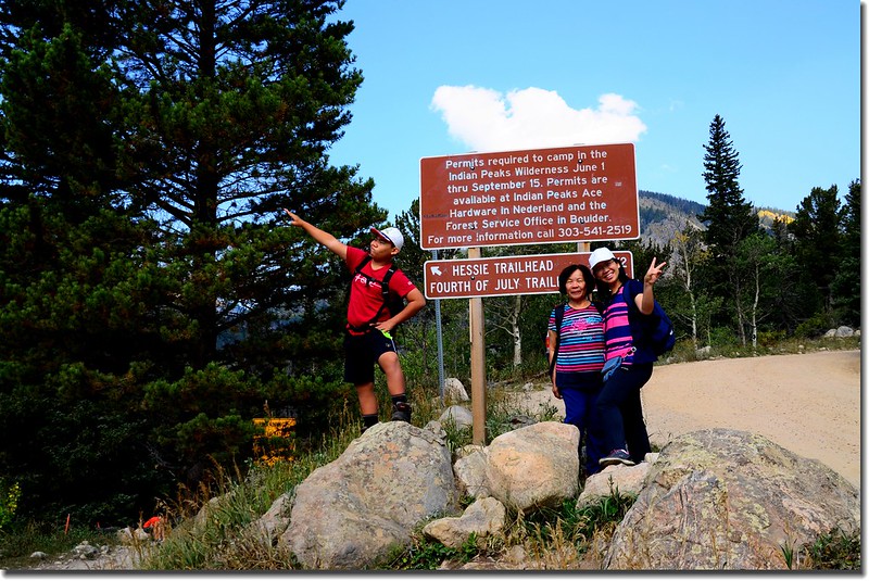
Hessie Trailhead & The Fourth of July Road fork
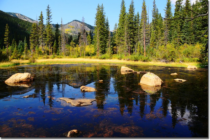
Unnamed pond along the trail
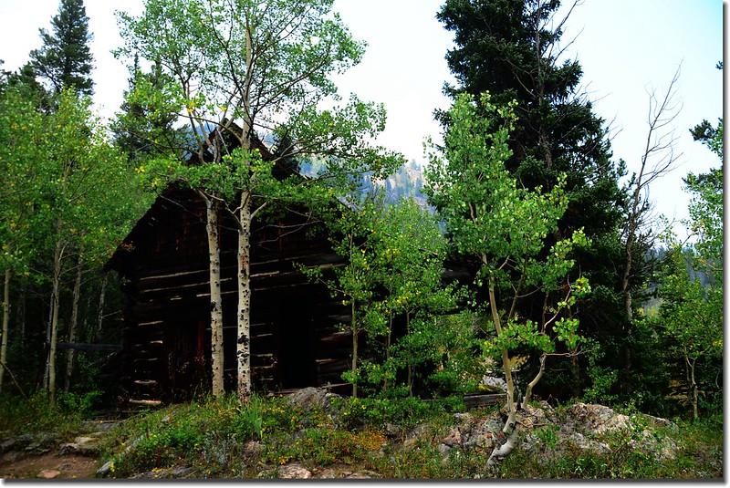
10:53 Hessie Townsite 標示牌,此處殘存有幾棟遺址。
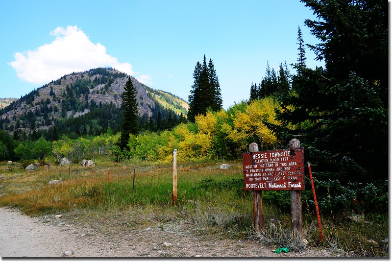
Hessie townsite
10:55 Hessie Townsite 遺址。
Hessie townsite
11:01 過Hessie Trailhead前小橋。

A wooden bridge crossing the creek
11:02 距CR 130 (The Fourth of July Road) 與Hessie Trailhead岔路口約0.5哩後抵達登山口--Hessie Trailhead。
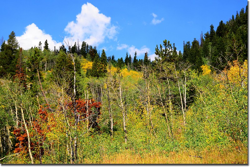
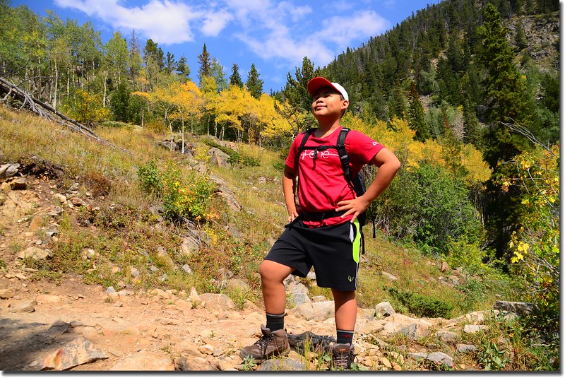
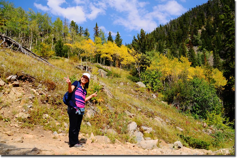
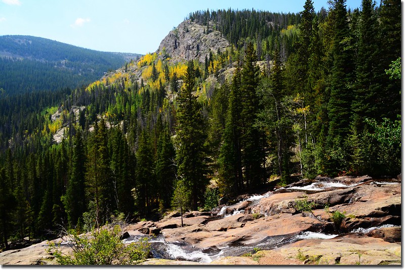
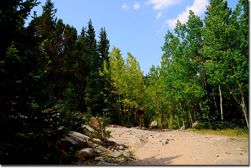
登山口行一段石子路取捷徑上坡,路旁白楊木(Aspen)葉子已開始轉黃,科羅拉多已進入“金秋九月”!
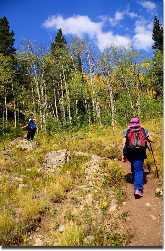
Lost Lake Trail
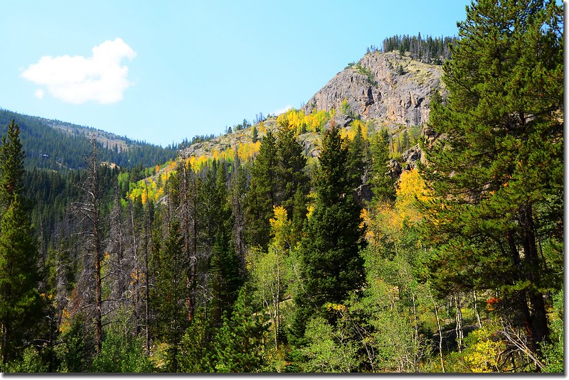
Aspen leaves are turning yellow
Taken from the trail up to Lost Lake, aspen leaves are turning yellow
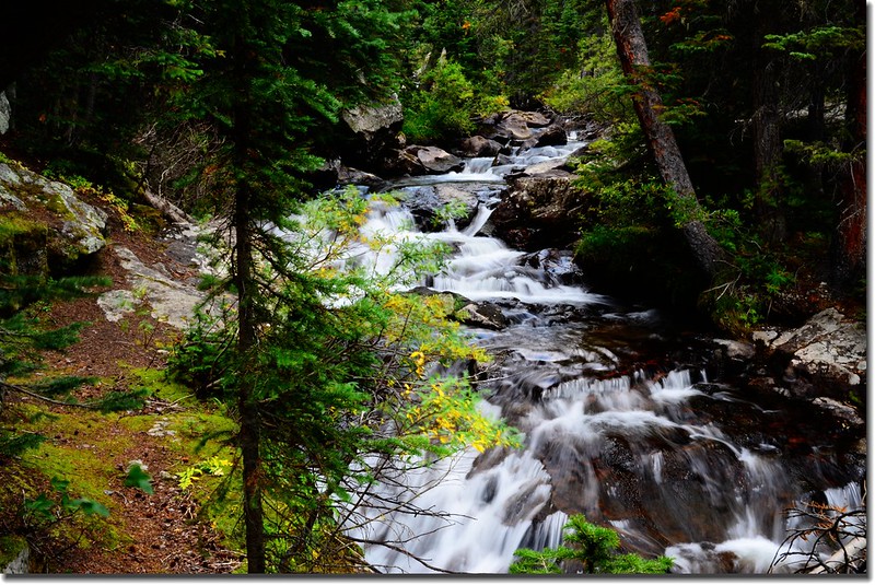
11:35 路左下有一瀑布群--Jasper Creek Waterfalls,極為壯觀(距CR 130與Hessie Trailhead岔路口約1.0哩)。
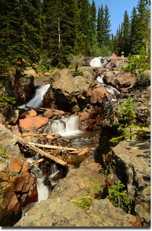
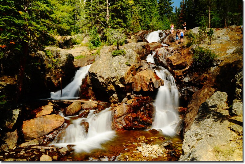
Unnamed waterfull
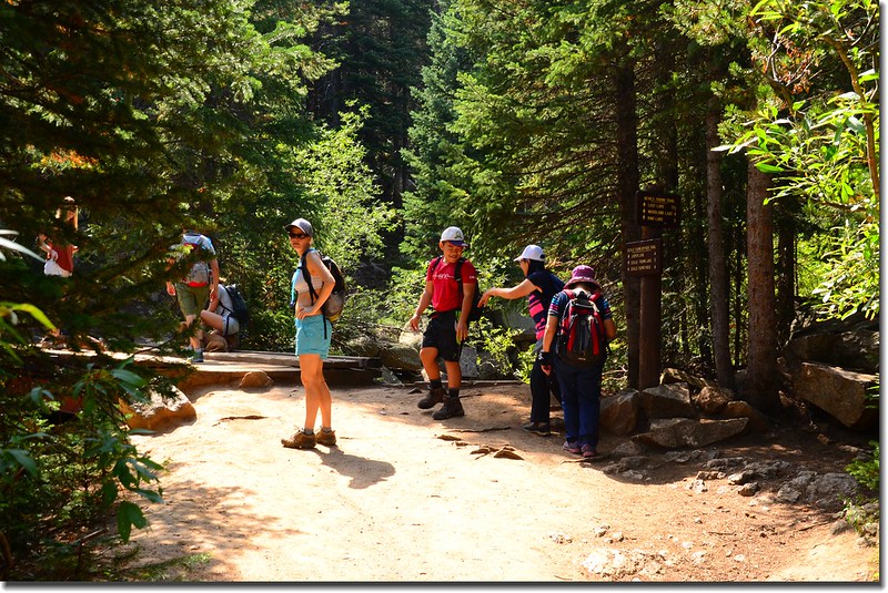
12:02 抵達Devils Thumb Trail & Devils Thumb Bypass Trail 岔路,距CR 130與Hessie Trailhead岔路口約1.5哩,海拔9,455呎(2,882公尺);
Thumb Trail & Devils Thumb Bypass Trail fork
左岔過橫跨South Fork of Middle Boulder Creek木橋是Devils Thumb Trail,右行直上是Devils Thumb Bypass Trail,取左過小橋。
經小橋跨過South Fork Middle Boulder Creek後即沿著South Fork Middle Boulder Creek左岸上行,一路是一層層的小瀑,伴隨著轟隆隆的流水聲。
South Fork Middle Boulder Creek
12:16 抵達Lost Lake Trail junction,距CR 130與Hessie Trailhead岔路口約1.75哩;右直行往King Lake、Woodland Lake,取左上。
Lost Lake Trail junction
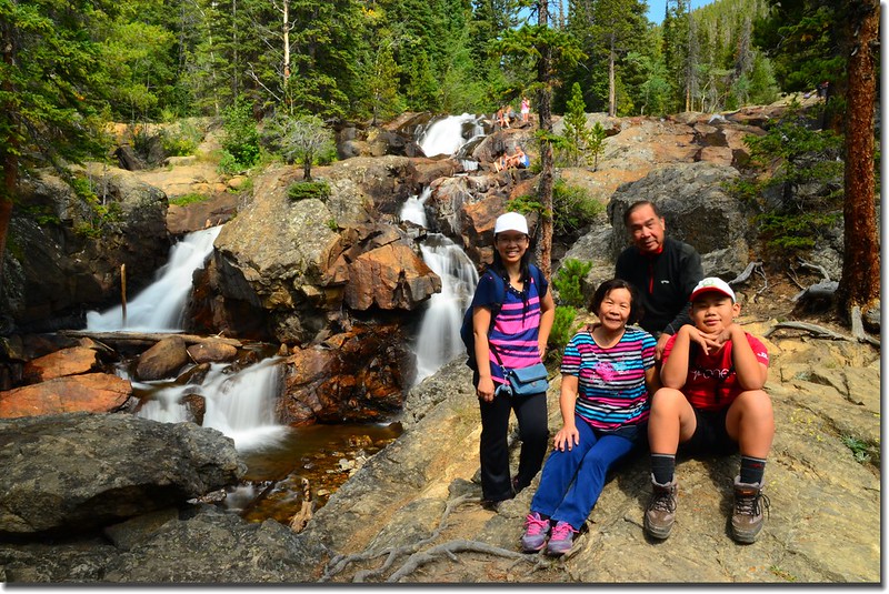
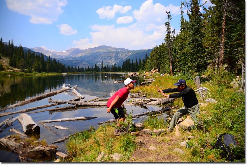
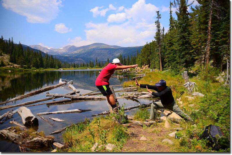
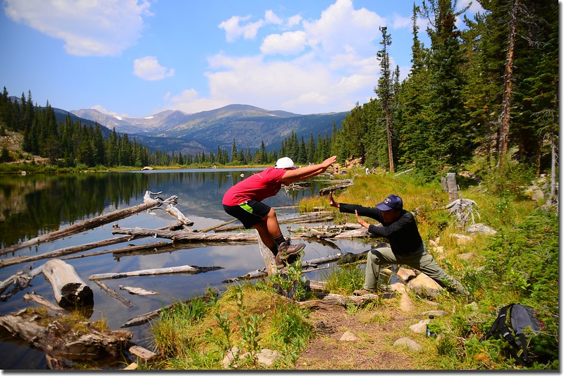
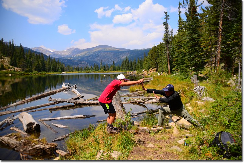
12:30 抵達Lost Lake ,距CR 130與Hessie Trailhead岔路口約2.0哩,海拔9,798呎(2,986公尺);在湖邊找處蔭涼處午餐,飯後繞湖一周後下山。

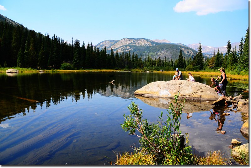
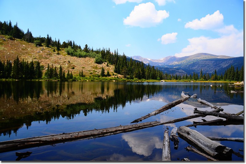
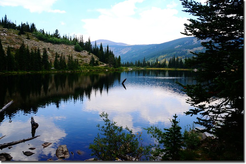
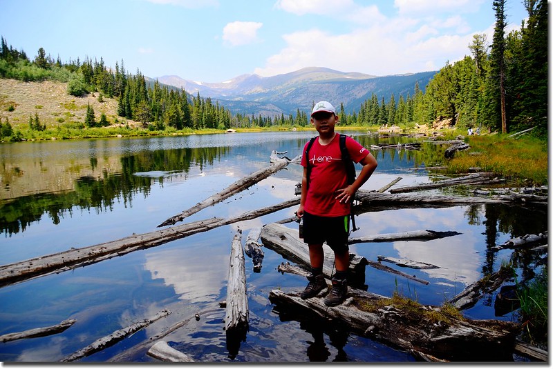
Lost Lake
13:40 下山。
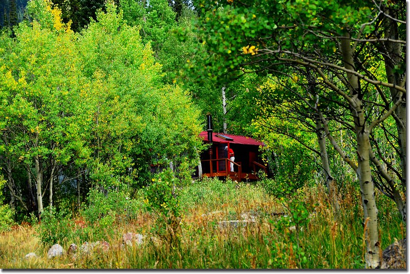
14:28 快到登山口時繞道參觀一下Hessie Townsite 遺址。
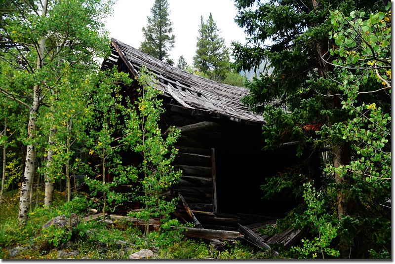
Abandoned Cabin at Hessie townsite
15:05 返抵CR 130與Hessie Trailhead岔路口,等了約十來分鐘搭Shuttle Bus到Nederland的Park-n-Ride開車回家。
沒有留言:
張貼留言