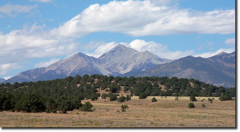
Mount Yale from HWY 285
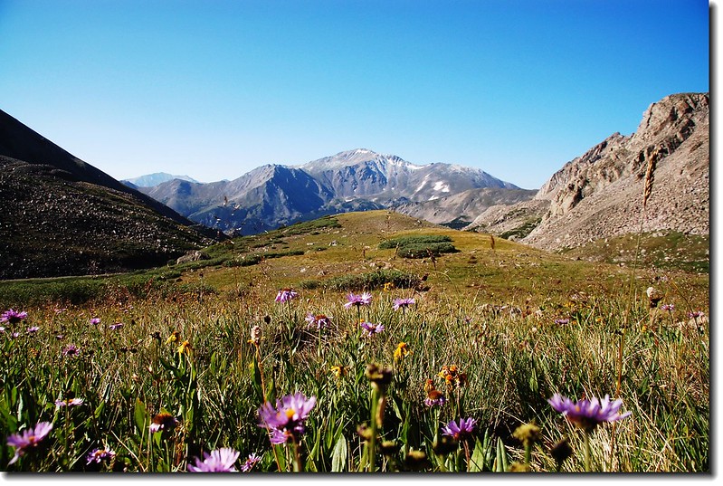
Mount Yale from Mount Harvard
上週五(8)和兩位旅美台僑沈兄、羅兄前往Buena Vista附近攀登Mount Yale,該座在科州排名第21的14ers我在2008年攀登過,迄今整整時隔九年。
---------------------------------------------------------------------------------------------------------------
攀登山岳:Mount Yale(海拔14,196呎/4,327公尺)
登山口:Denny Creek Trailhead(海拔9,900呎/3,018公尺)
登山里程:9.5哩(15.2公里)
總爬升高度:約4,300呎(1,311公尺)
登山時間:9小時15分
---------------------------------------------------------------------------------------------------------------
山岳簡介:
Mount Yale海拔14,196呎(4,327公尺),位在丹佛西南方約140哩的地方,隸屬於Sawatch Range,在14ers中歸屬於"Collegiate Peaks"中的一座14ers(在科羅拉多州的14ers 中有好幾座是以美國東岸長春藤名校--Ivy League命名,稱之為"Collegiate Peaks";包括Mount Harvard、Mount Princeton、Mount Oxford、Mount Columbia和Mount Yale)。
Mount Yale的首登隊伍是由地質學家Josiah Whitney率領的哈佛大學(Harvard University)地質探測隊於1869年首登而命名,該隊伍先將較高的一座山以自己的學校命名為Mount Harvard(14,420 ft.),而將較矮的一座以Josiah Whitney的母校命名為Mount Yale(14,196 ft.)。
Mount Yale(14,196 ft.)僅比其南邊的Mount Princeton(14,197 ft.)矮一呎,所以相傳早期該兩校學生登此兩座山時,都會在各該校的校名山頂堆砌石堆,企圖超越對方的高度。這種情形也發生在另兩座山Mount Elbert(14,433 ft./ 4399 m)和Mount Massive(14,421 ft./ 4396 m)身上;前者為科州第一高峰,後者為第二高峰;兩山各擁有愛好者會在各自喜愛的山頂玩起堆石堆遊戲,企圖超越對方而成為科州第一高峰。這在台灣是很難想像的,我想就是台灣的登山客有此雅癖也找不到石塊來堆,總不成有人從山底下搬石頭上來吧!
行車資訊:
當天凌晨三點左右我從女兒家中出發,先南下Littleton羅兄家會合,然後共乘羅兄的車子於四點鐘出發,沿US-285公路往Fairplay一路西南行;US-285行約101.8哩後右轉US-24 W北行往Buena Vista小鎮,2.5哩後左轉W Main St再接County road 306朝 Cottonwood Pass.西行,約12哩後抵達路右 Denny Creek Trailhead,抵達登山口約是06:20。

Denny Creek Trailhead parking lot
步程簡述:
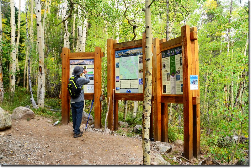
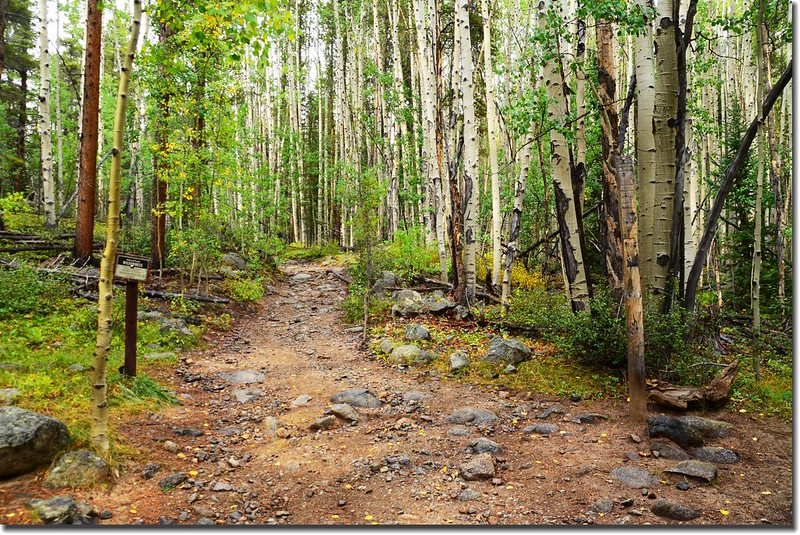
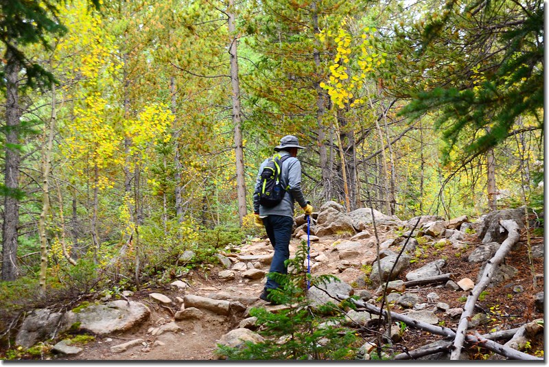
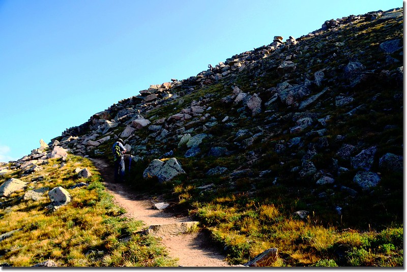
06:25 天色微亮從登山口(Denny Creek Trailhead)出發,登山口海拔9,900 呎(3,018公尺),一開始步道是還算寬敞的石子陡坡。
Denny Creek Trailhead
06:36 進入Collegiate Peaks Wilderness範圍,上次來時此處設有登山客登記處,由登山客自行登記上山日期、時間、登山客姓名、來自何處、同行人數、下山日期、時間(下山時填寫)…,現在已撤除;
This route enters the Collegiate Peaks Wilderness area
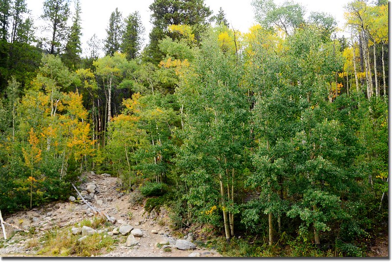
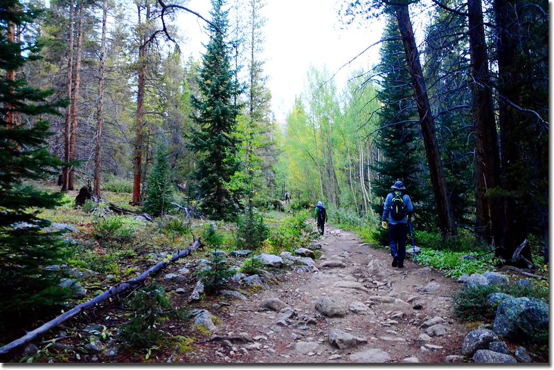
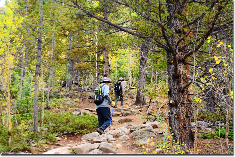
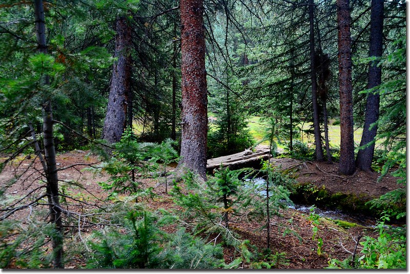
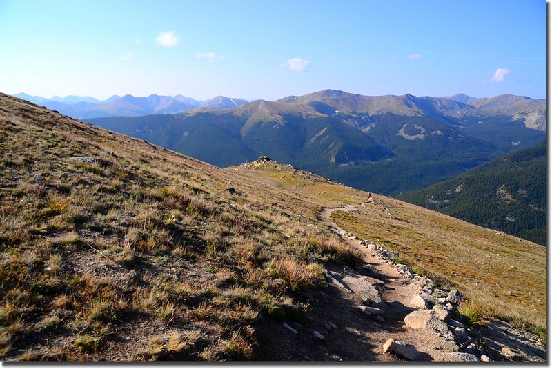
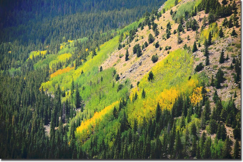
自此步道開始緩坡上升,步道有一、兩米寬,維護得很好,兩旁是高聳的赤松(Spruce)和白楊木(Aspen),少數白楊木葉子已開始轉黃!
Mount Yale Trail
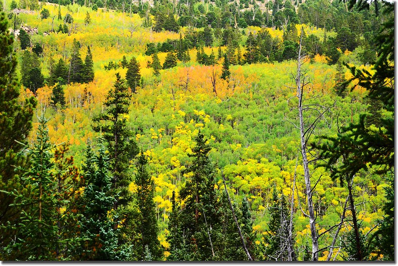
Aspen along the trail, and leaves are turning yellow
06:58 數根圓木跨過Denny Creek,此處海拔約10,510呎(3,203公尺),到此大約爬了一哩左右的路程。
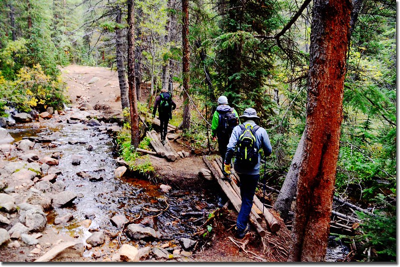
Crossing log bridge at Denny Creek
07:04 又過一小溪,此小溪地圖上沒畫出來。
07:12 過了Denny Creek步道沿著小溪的右岸續行約0.25哩抵達一岔路,左岔直行是往Browns Pass和Hartenstein Lake,右岔往Mount Yale,此處海拔約10,750呎(3,277公尺),距登山口約1.25哩;
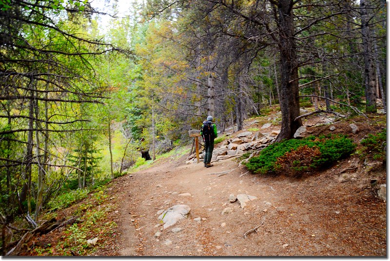
Hartenstein Lake and Mount Yale trail fork
取右行往Mount Yale,步道由此縮小為山中小徑,但仍維護得很好。
小徑“之”字形爬升,先經過一片白楊樹林後抵達一處肩稜;
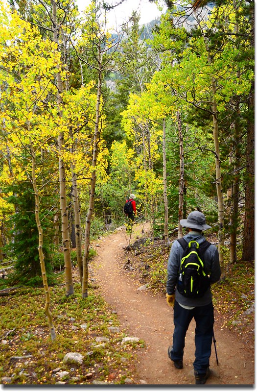
Aspen along the trail, and leaves are turning yellow
小徑平緩的在松林間穿行得以喘口氣;
Mount Yale Trail
此肩稜是Denny Creek和Delaney Gulch stream的分水嶺,海拔約11,000呎(3,353公尺),離開肩稜後即進入Delaney Gulch流域。
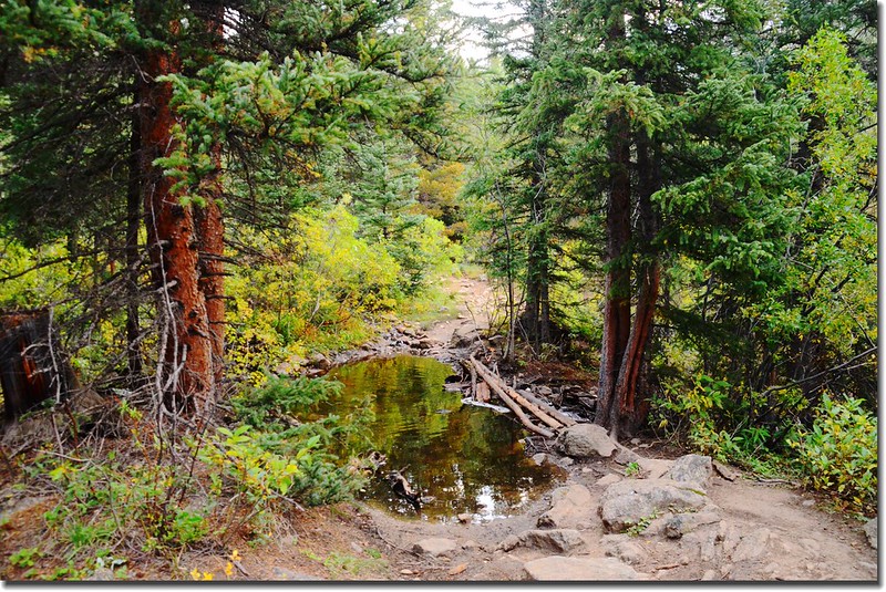
07:42 小徑右岔過一簡易小橋是通往露營區勿取,取左沿小徑直行。
Crossing a log bridge to camping site
07:52 數根圓木跨過Delaney Gulch Creek,此地海拔約11,250呎(3,429公尺),距登山口約2.2哩。
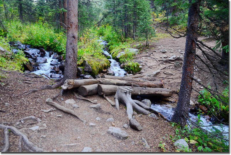
Crossing the Delaney Gulch stream near 11,200’
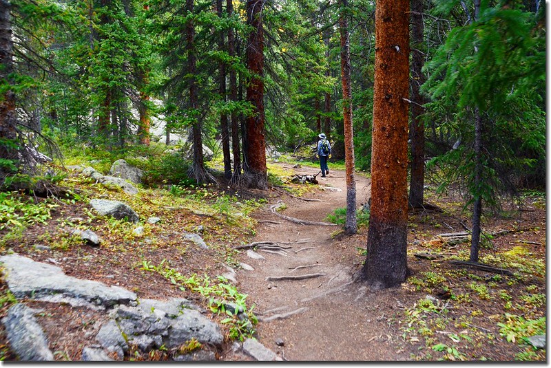
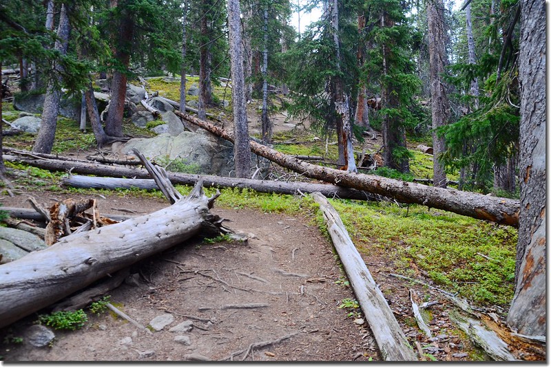
步道過了Delaney Gulch Creek後經過一小段路小徑變成極陡坡,大約從11,300呎(3,444公尺)到11,700呎(3,566公尺)之間都沿著山腹穿越森林迂迴爬升。
Mount Yale Trail
Mount Yale Trail
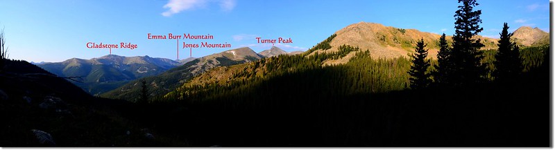
Looking Southwest from the trail near 11,400'
Looking Southwest at Gladstone Ridge from Mount Yale south slope near 11,600'
08:46 步道左彎處有一右岔舊路跡來接,不知是否早期舊路線,已將出森林線。
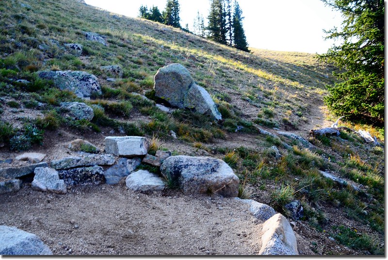
The fork of old trail

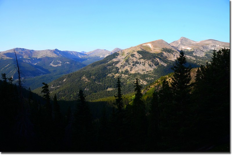
Looking Southwest from the trail near treeline(12,100' )
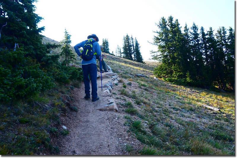
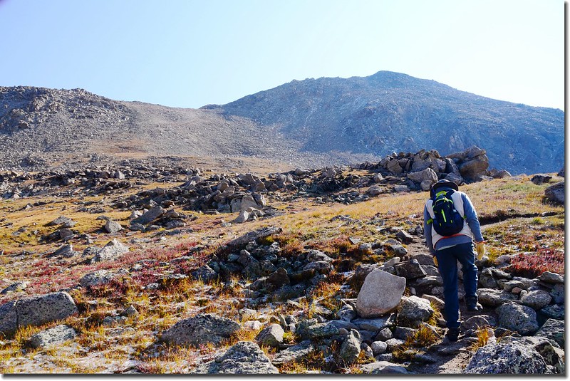
08:49 出森林線,海拔約12,200呎(3,719公尺),視野豁然開朗;
Out of treeline near 12,200 feet
Near 12,300', looking back over the trail
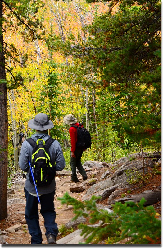
此後山徑便在Mount Yale西側坡上升,路徑清楚還不算很陡,只是高海拔還是爬得上氣不接下氣,沈兄腳程很快,體力又佳,不時停下來等候我和羅兄。
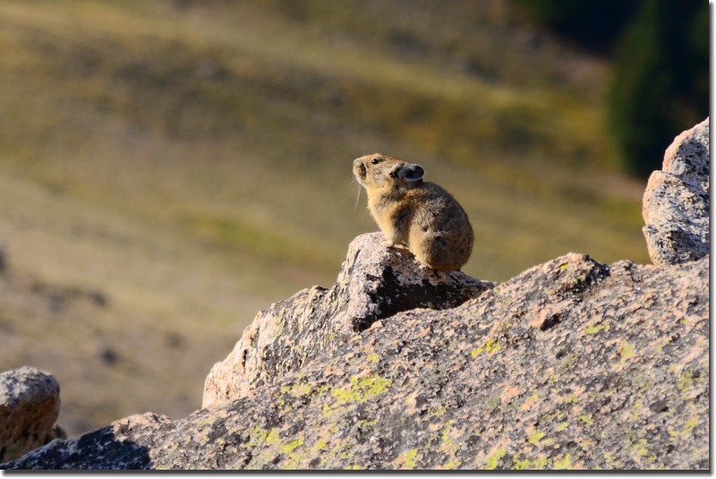
Pika along the trail
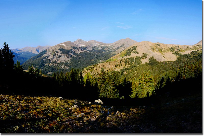
09:10 步道上到一處肩稜,海拔約12,500呎(3,810公尺),步道坡度減緩朝東北向Mount Yale的稜線西鞍前進;
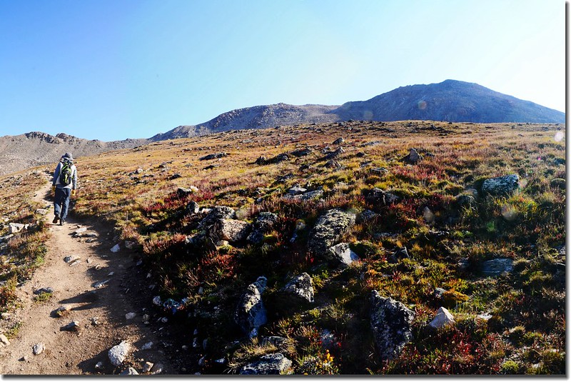
At about 12,500 feet elevation, the climb eases and crosses slopes of wildflowers
Near 12,500', looking back over the trail
步道兩側是苔原植物,還可發現幾株已近花期尾聲的Alpine Sunflower (Old Man of the Mountain)。
Near 13,000', just below the steep slope
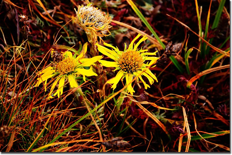
Alpine Sunflower (Old Man of the Mountain)
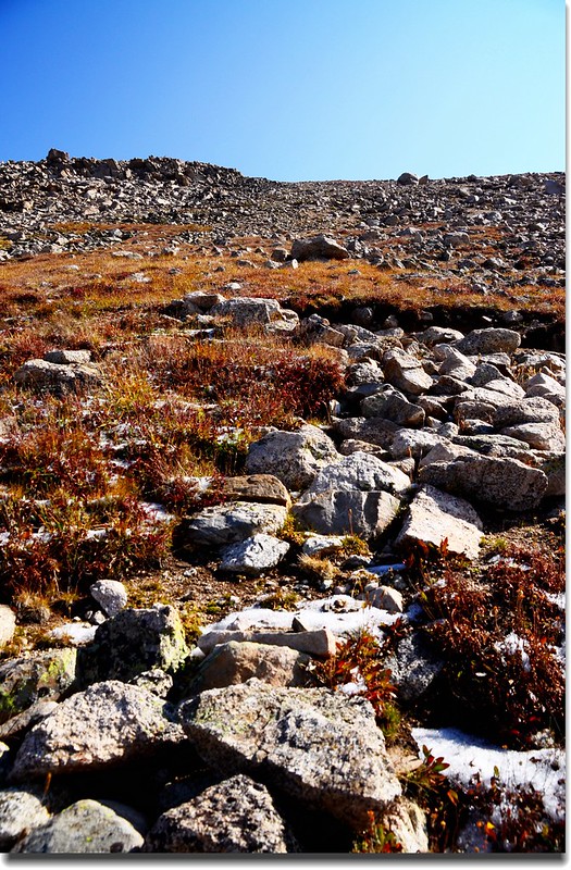
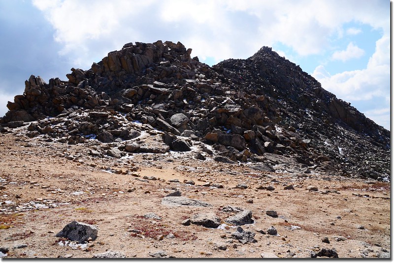
10:03 抵達Mount Yale的稜線西鞍下方,擺在眼前的是陡峭的碎石坡,如果對這路況不熟悉還真不知道怎麼爬上去呢!
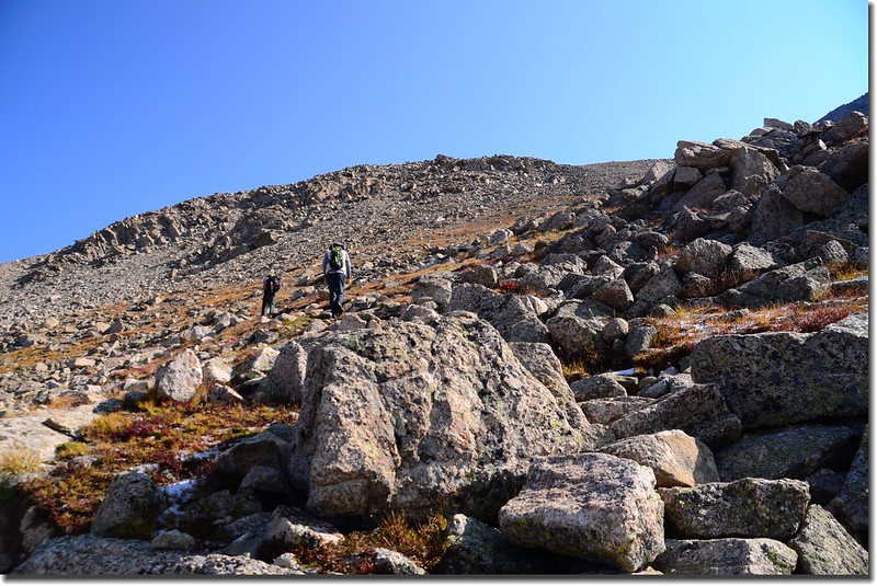
Looking up at the final slope to the shoulder below the summit of Yale
這段路是在亂石陡坡間“之”字型迂迴盤升,坡度很陡就是啦;此處海拔約13,200呎(4,023公尺),必須陡升約750呎(229公尺)上抵Mount Yale的稜線西鞍(約13,960呎/4,255公尺)。
10:39 當我和羅兄爬升不到三分之二時,抬頭一望沈兄已登上Mount Yale山頂稜線,邊向我們揮手邊朝山頂挺進,約此處在海拔13,700尺(4,176公尺)左右。

Shen on the NW ridge above 13,900 feet
10:52 在氣喘如牛、邊走邊休息下攀抵山頂西鞍的鞍部(13,960 呎./ 4,255 公尺),此處距登山口約4.5哩。
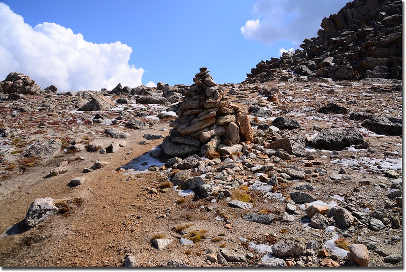
A large cairn on the shoulder
Looking back down the route from the saddle
Looking Northwest from 13,900' on the saddle of Mount Yale
The summit ridge seen from 13,900’ on the saddle, the summit is not yet visible
鞍部有少許積雪,眼看山頂就在不遠處,但這段路可是最難走的一段路,沒有明顯的路徑,登山客得各憑本事在石頭堆中找易走的路,有一個原則,大體上跟著cairn走準沒錯;沈兄應該早已登頂,我和羅兄小心翼翼的手抓石塊、腳找踏點,亦步亦趨的龜速前進。
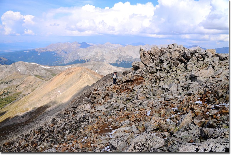
Lo on the summit ridge up Mount Yale, about 14,150 feet
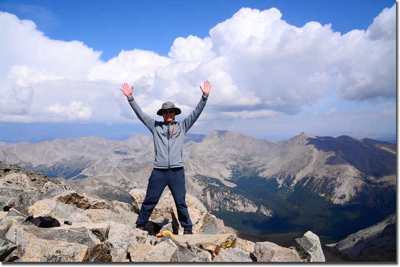
11:30 看起來直線距離不到300公尺,爬升高度不到80公尺的一段路,花了30分鐘總算登頂Mount Yale,這是我繼2008年首登此山後第二次登頂。
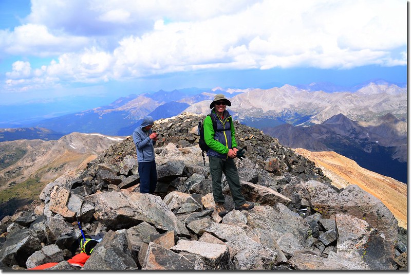
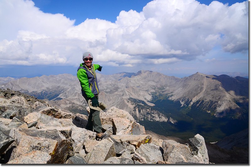
The summit of Mount Yale
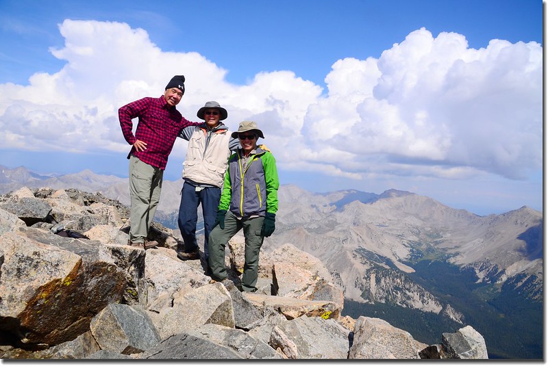
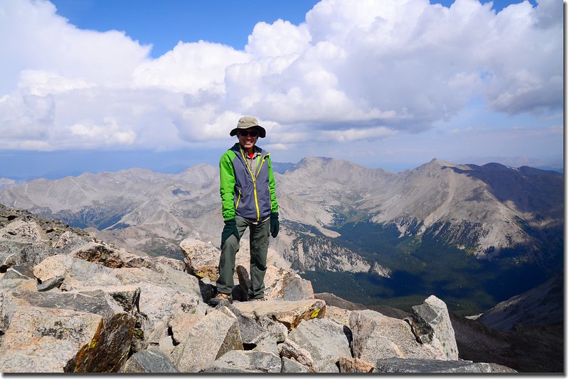

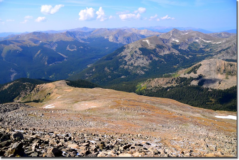
Taken from the summit of Mount Yale
Columbia & Harvard are in the distance
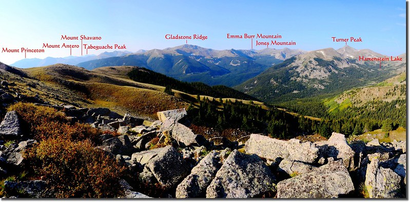
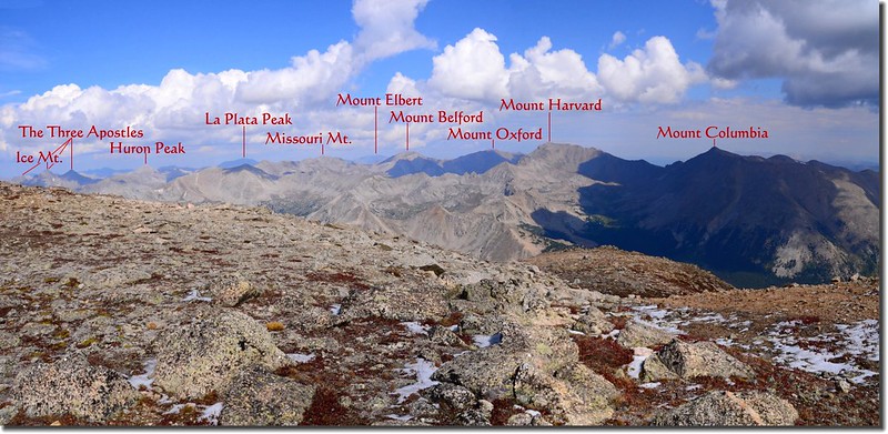
今天天氣還好,但烏雲偏多,視野不是很好,沒有第一次登頂時的好展望;站在山頂上北眺Columbia、Harvard、Oxford、Belford、Elbert、Missouri、La Plata、Huron等多座14ers;
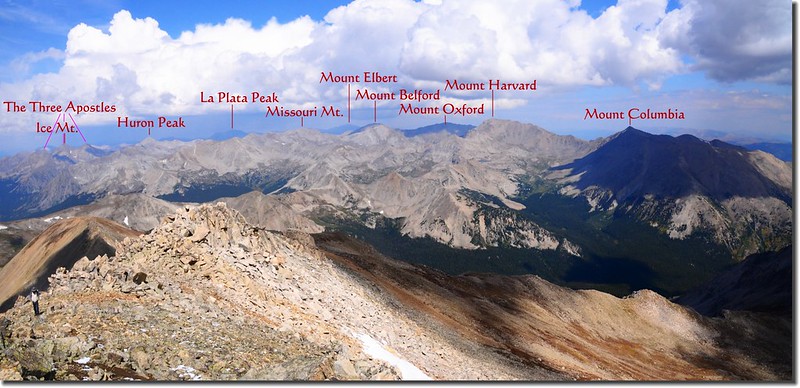
Looking Northwest from the summit of Mount Yale
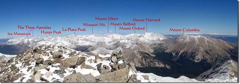
Looking Northwest from the summit of Mount Yale (攝於2008)
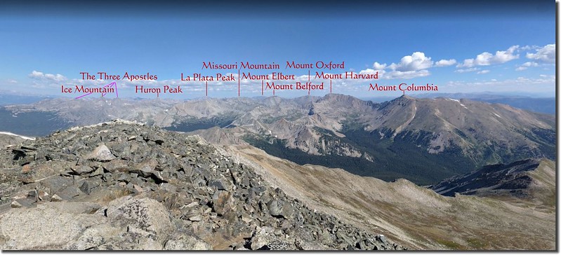
Looking Northwest from the summit of Mount Yale (Google map)
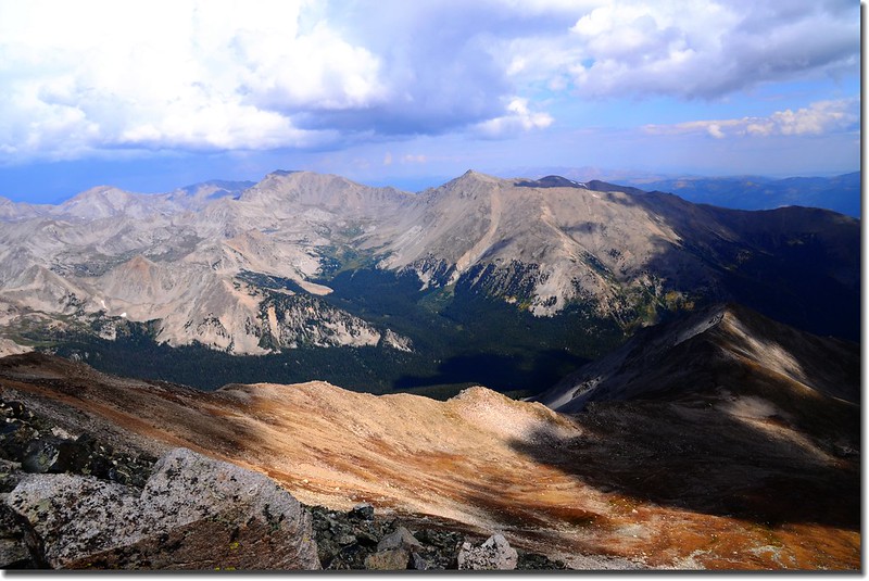
On the summit, looking north to Mt. Harvard and Mt. Columbia (right)

Mount Yale east ridge
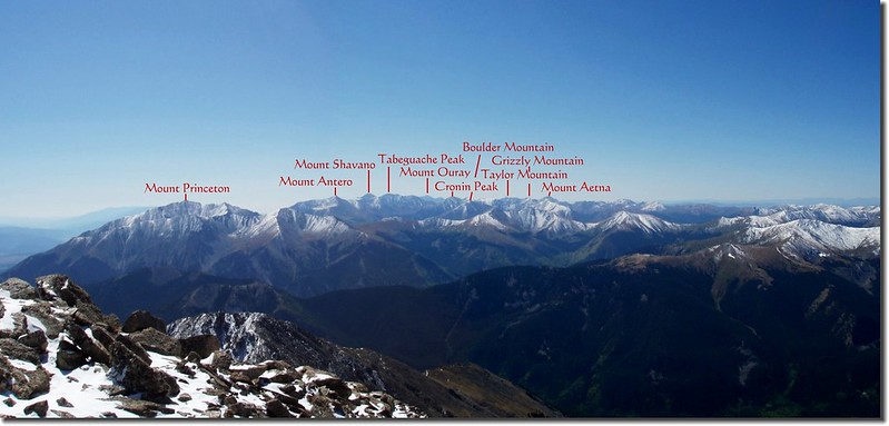
往南則有Princeton、Antero、Shavano、Tabeguache等四座14ers;
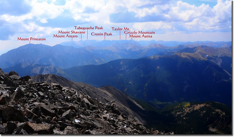
Looking South from the summit of Mount Yale
Looking South from the summit of Mount Yale (攝於2008)
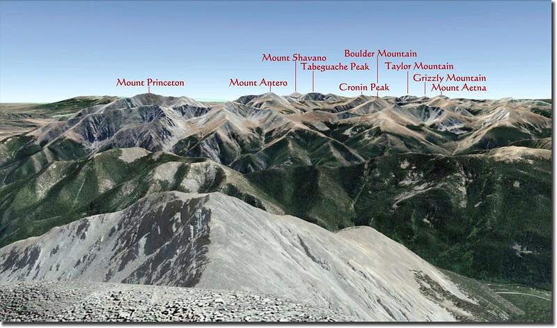
Looking South from the summit of Mount Yale (Google map)
這些高山早在幾年前都已登頂過,今天在這兒看來倍感親切。
12:15 下山!氣象預報今天下午的天氣不是很理想,雖然沒有Thunderstorm,但還是有下雨的機率。
Overlook the aspen, leaves are turning yellow
12:35 下抵西鞍鞍部,接著是陡峭的下坡段,小心下行。
13:42 下抵森林線,漸漸進入雲杉林中迂迴下山。
14:23 過Delaney Gulch Creek,續行下山。
14:56 抵Browns Pass和Hartenstein Lake岔路,取左沿原路下山。
15:06 過Denny Creek續行,有下雨的跡象。
在抵達登山口前約半哩左右下起冰雹,還不小呢!三人躲在樹林下好一陣子等冰雹稍過才續行下山。
15:40 返抵登山口,整裝後開車回家,辛苦羅兄了,還有兩個多小時的車程!
沒有留言:
張貼留言