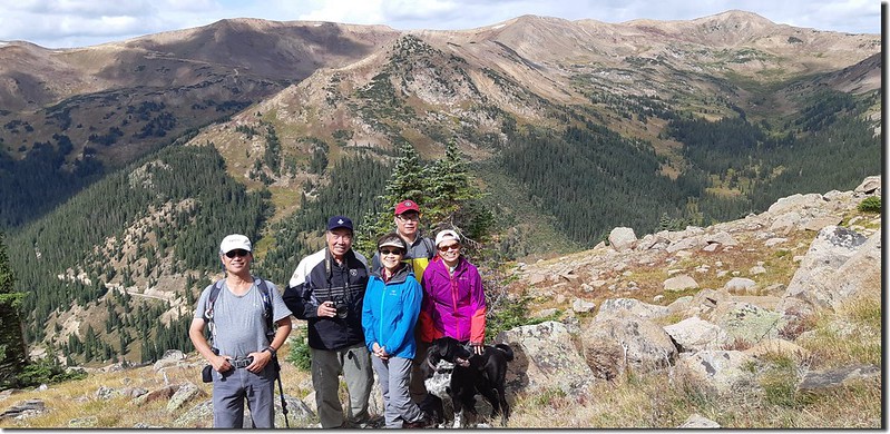
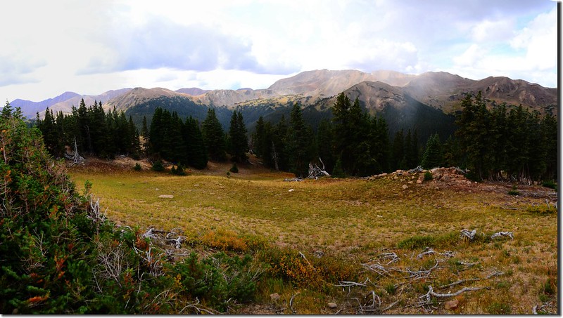
Taken from Continental Divide Trail
~~~~~~~~~~~~~~~~~~~~~~~~~~~~~~~~~~~~~~~~~~~~~~~~~~~~~~~~~~~~
登山步道:Henderson Spur Trail續走Continental Divide trail
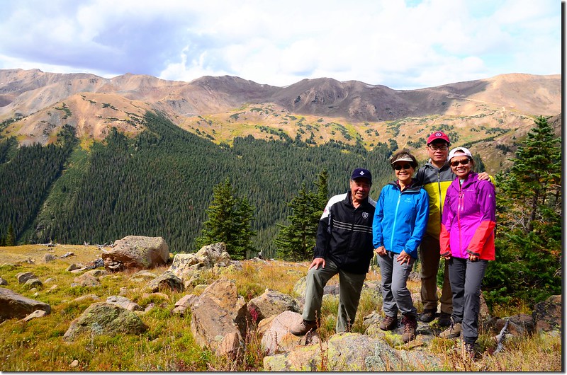
登山口:Henderson Spur Trailhead(海拔10,450呎/3,185公尺)
登山里程:來回約8.0哩/12.8公里
總爬升高度:約2,000呎/610公尺
登山時間:5小時15分
~~~~~~~~~~~~~~~~~~~~~~~~~~~~~~~~~~~~~~~~~~~~~~~~~~~~~~~~~~~~
行車資訊:
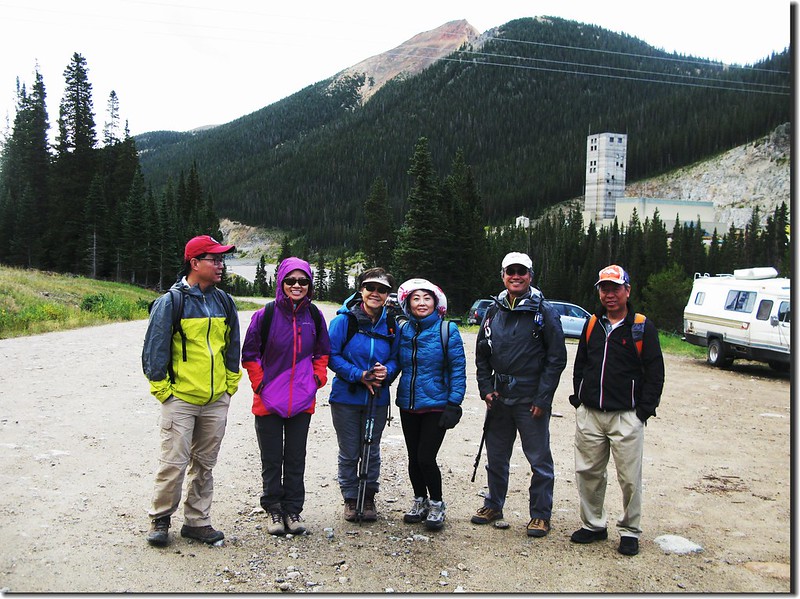
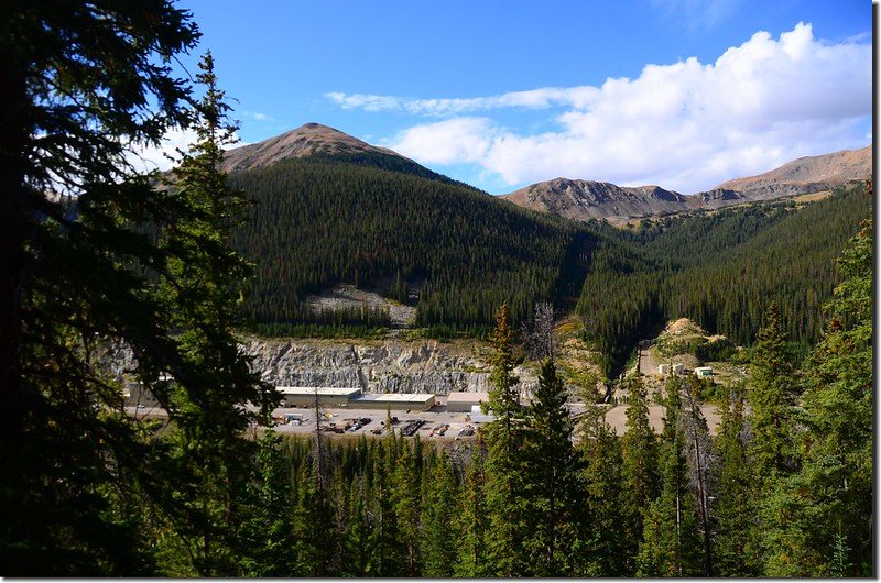
開車沿I-70州際公路西行,行至Exit 232出口下交流道,朝U.S. 40 E/Empire/Granby前進,0.3哩後接著走US-40 W直行,再行0.3哩後靠右繼續沿US-40 W西行,經Empire行約8.7哩於道路大右彎處靠左行駛進入Henderson Mine Rd,岔路前道路旁有紅底白字指示牌,指示牌標示“Big Bend,左往Jones Pass、Henderson Mine”; Henderson Mine Rd行約1.8哩後於Henderson Mine管制口前右轉土石路繼續西行,再行0.5哩後抵達Henderson Spur Trailhead停車場。
步程簡述:
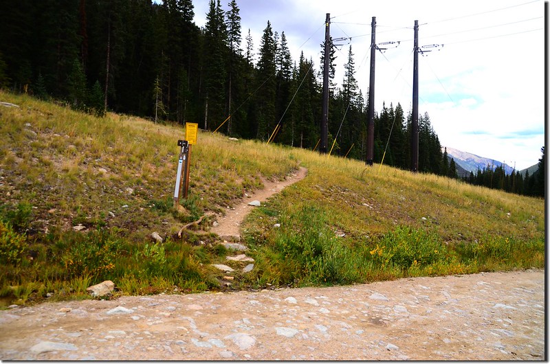
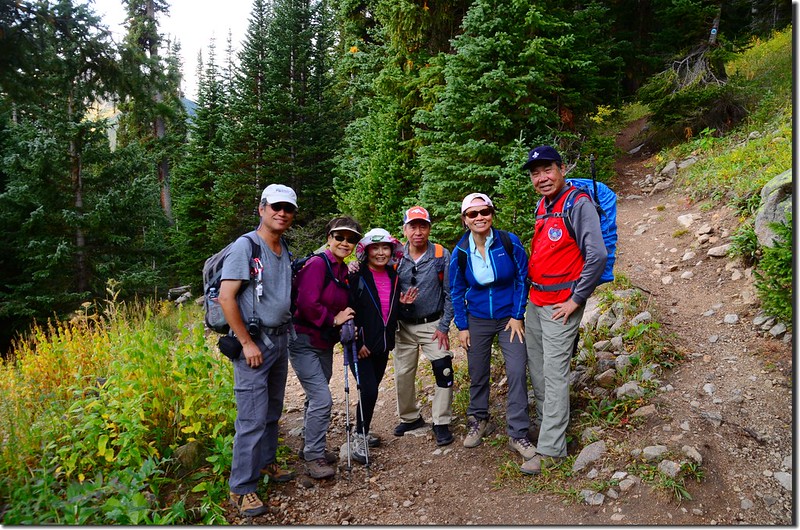
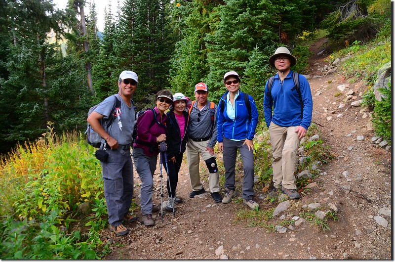
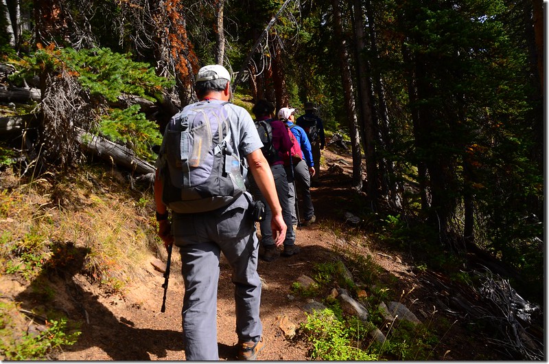
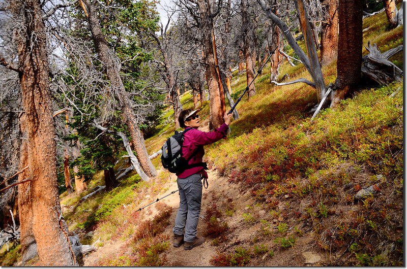
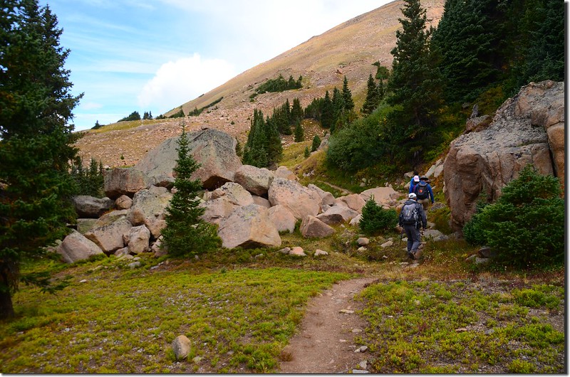
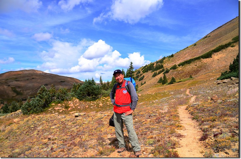
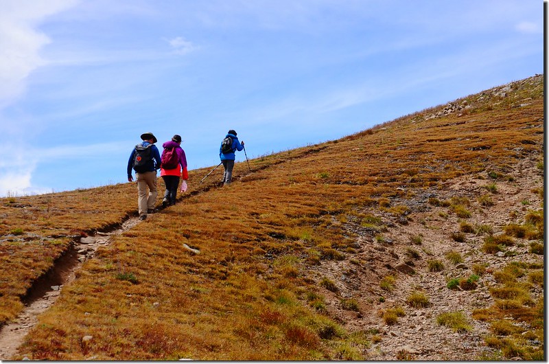
09:00 由停車場北側登山口出發,沿登山小徑在森林間”之”字形爬升;登山口海拔10,450尺/3,185公尺。
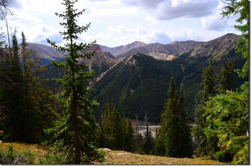
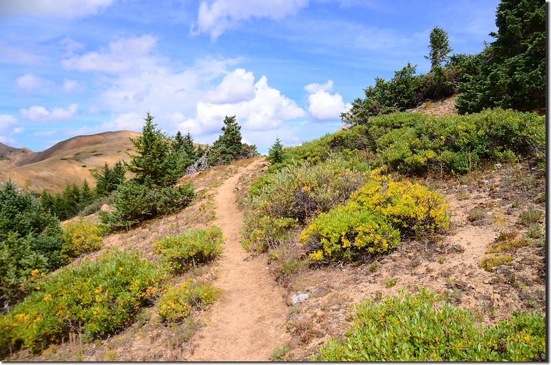
Continental Divide Trail
Mountain view from Henderson Spur Trail
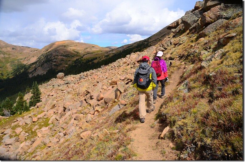
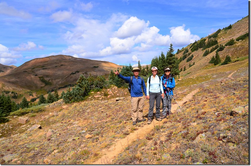
09:48 接Continental Divide trail,海拔11,260呎/3,432公尺,距登山口約1.5哩;
Taken from the junction of Henderson Spur Trail & Continental Divide Trail
左右岔路均為Continental Divide trail,取左上行。
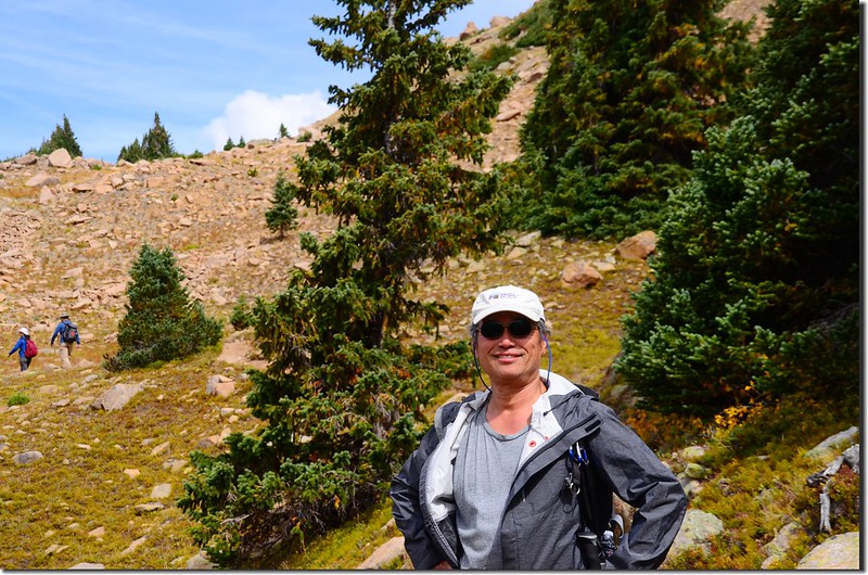
Continental Divide Trail
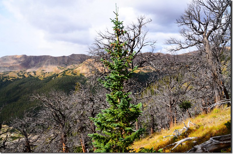
10:14 抵達一片枯木林,山坡上一片松林皆乾枯而死,看樣子不似遭森林火災,難道是病蟲害?不得而知!此處海拔約11,480呎/3,499公尺,距登山口約1.9哩。

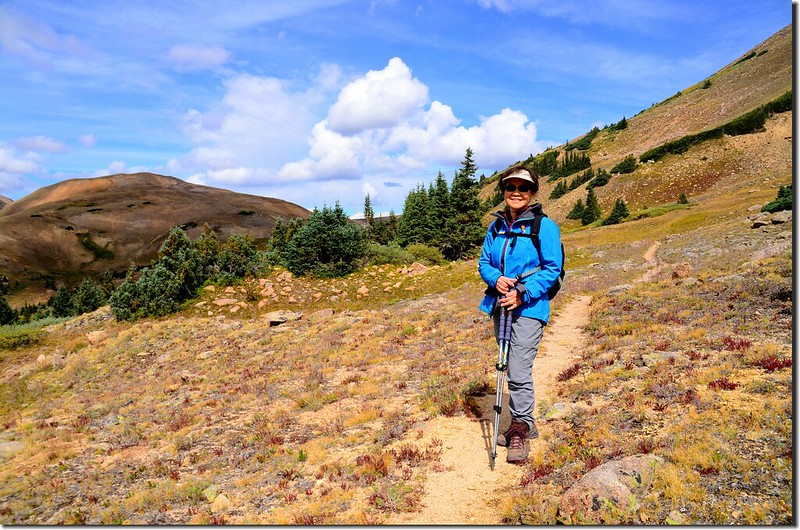
Continental Divide Trail
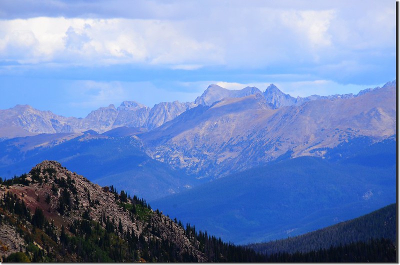
Red Mountain from Continental Divide Trail
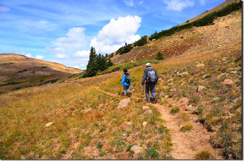
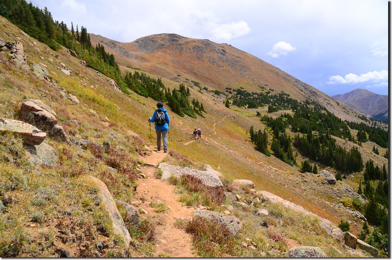
10:22 出森林線抵一小片空曠地,此處約在海拔12,947呎/3,946公尺的Vasquez Peak南稜兩支稜的中間鞍部,海拔約11,570呎/3,527公尺,距登山口約2.1哩;
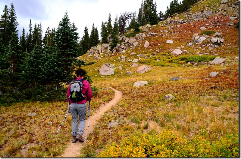
Continental Divide Trail
Looking south at Bard Peak et al. mountains from Vasquez Peak's south slope
Mountain view from Vasquez Peak's south slope
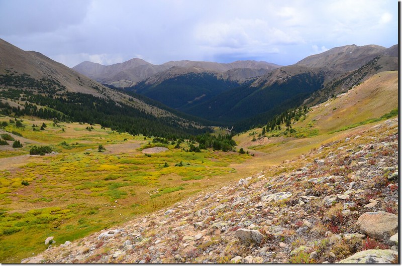
如欲登Vasquez Peak可由此右上切攀上稜線,然後沿Vasquez Peak南稜直抵山頂,Continental Divide trail則取左在Vasquez Peak的西南側山腰沿等高線直行。
Looking southeast from Continental Divide Trail
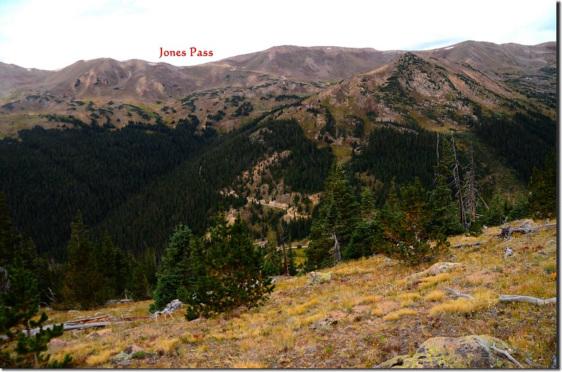
Looking southwest at Jones Pass from Continental Divide Trail
Taken from Continental Divide Trail
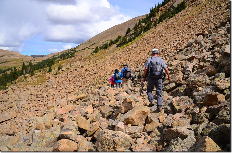
11:00 抵達Vasquez Peak的西南側山腰一大片岩石坡,海拔約11,770呎/3,588公尺,距登山口約2.7哩;
Continental Divide Trail
此片岩石坡面積蠻大的,橫跨約兩三百公尺的距離。
Continental Divide Trail
11:10 通過大岩石坡,海拔約11,830呎/3,606公尺,距登山口約2.9哩;步道繼續在Vasquez Peak的西南側山腰北行。
Continental Divide Trail
Taken from Continental Divide Trail
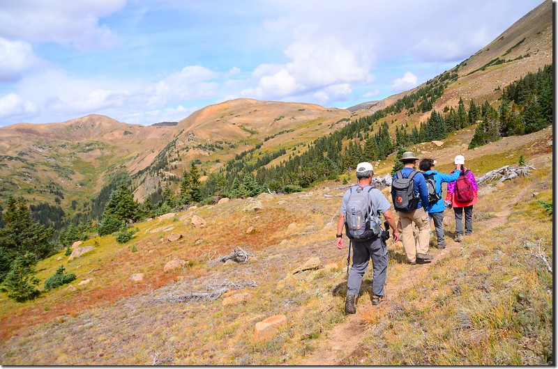
11:30 抵一處緩坡處,海拔約11,928呎/3,636公尺,距登山口約3.3哩;有登山紀錄由此右上切直攻Vasquez Peak山頂,沿步道繼續北行。
Taken from Continental Divide Trail
Taken from Continental Divide Trail
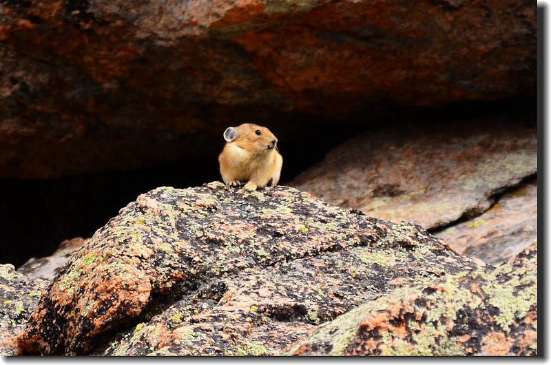
Pika along the trail
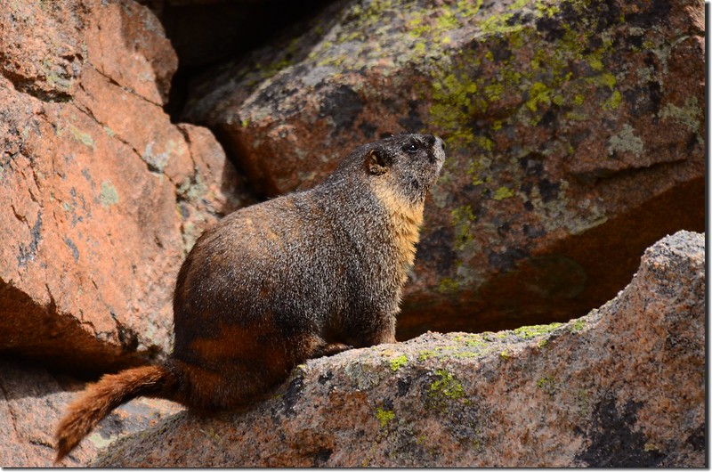
Marmot along the trail
12:00 抵達Vasquez Peak的西稜的最低鞍部,海拔約11,922呎/3,634公尺,距登山口約3.8哩;
Taken from Continental Divide Trail, the west saddle of Vasquez Peak
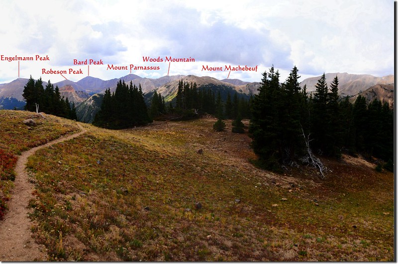
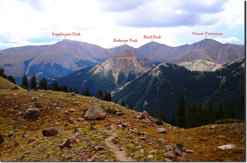
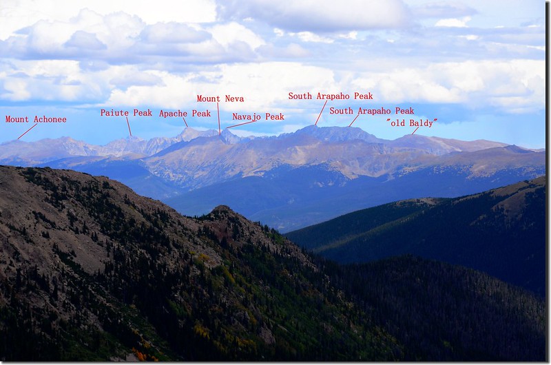
此處展望極佳,東北遠眺Indian Peaks,南眺Bard Peak & Mount Parnassus及Jones Pass,東邊則是海拔12,947呎/3,946公尺的Vasquez Peak。
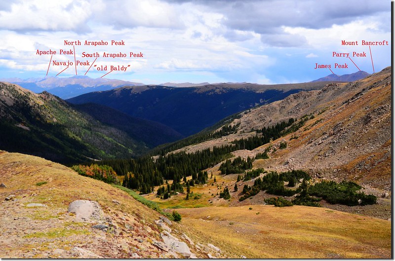
Looking northeast at Rocky Mountains & Indian Peaks from Vasquez Peak's west saddle
Looking northeast at Rocky Mountains & Indian Peaks from Vasquez Peak's west saddle
Looking southeast at Bard Peak & Mount Parnassus from Continental Divide Trail, the west saddle of Vasquez Peak
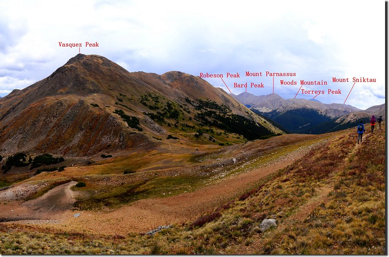
Mountain view from Vasquez Peak's west saddle
在此鞍部小歇拍照後續沿Continental Divide trail西行,打算爬到稍高處休息午餐。
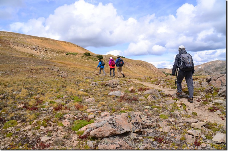
Continental Divide Trail
Looking northeast at Rocky Mountains & Indian Peaks from Vasquez Peak's west saddle
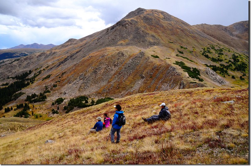
12:20 抵達步道高點要下切處,我們決定在此休息午餐後折返下山;
Taken from Continental Divide Trail
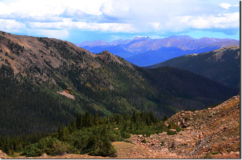
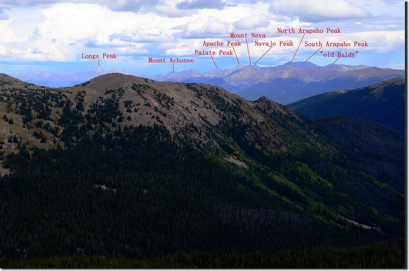
此處海拔約12,175呎/3,711公尺,距登山口約4.0哩;此處海拔又比剛才的鞍部高了250呎左右,所以往東北望也能看到落磯山國家公園的14ers~Longs Peak及大部分的落磯山脈。
Looking northeast at Rocky Mountains & Indian Peaks from Continental Divide Trail
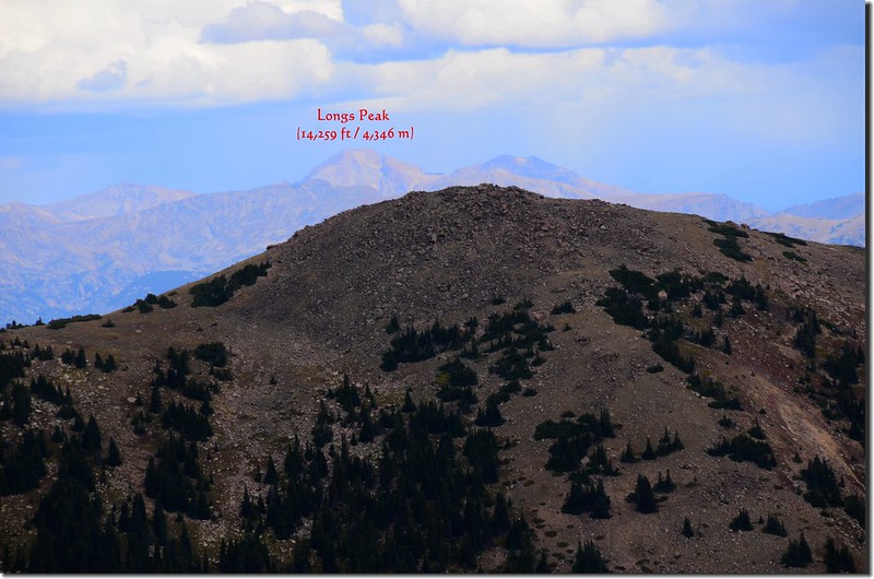
Looking north at Longs Peak from Continental Divide Trail
12:35 循原路下山。
Continental Divide Trail
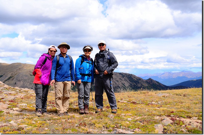
14:15 返抵登山口整裝後開車返回Golden。
沒有留言:
張貼留言