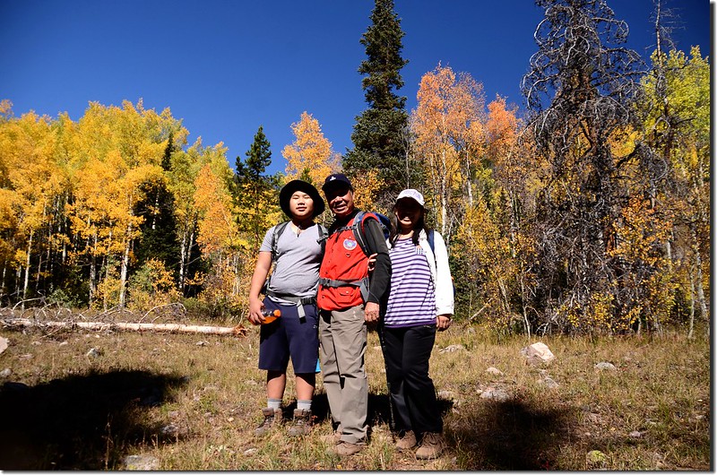
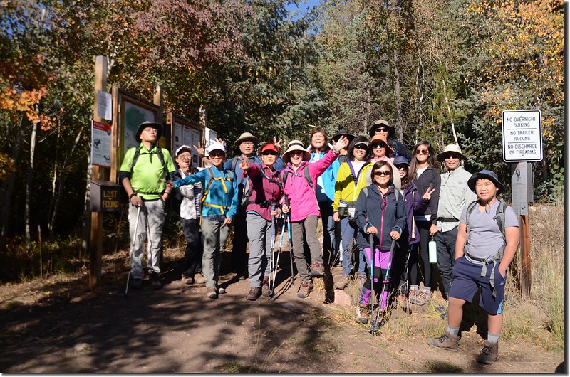
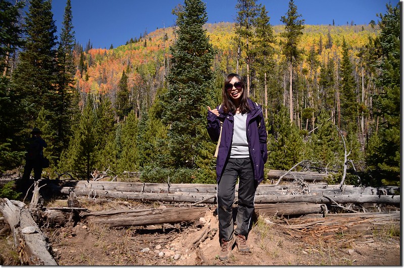
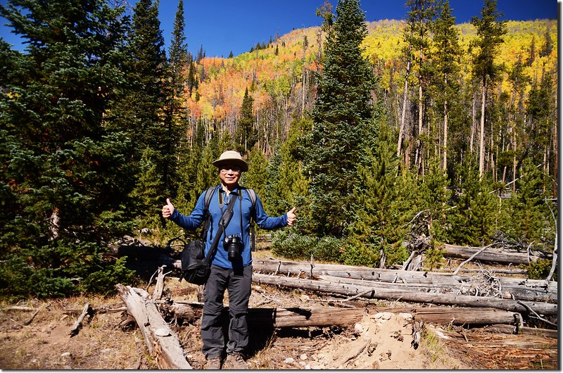
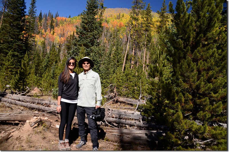
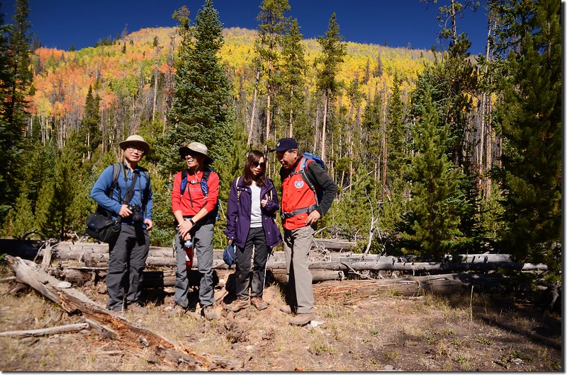
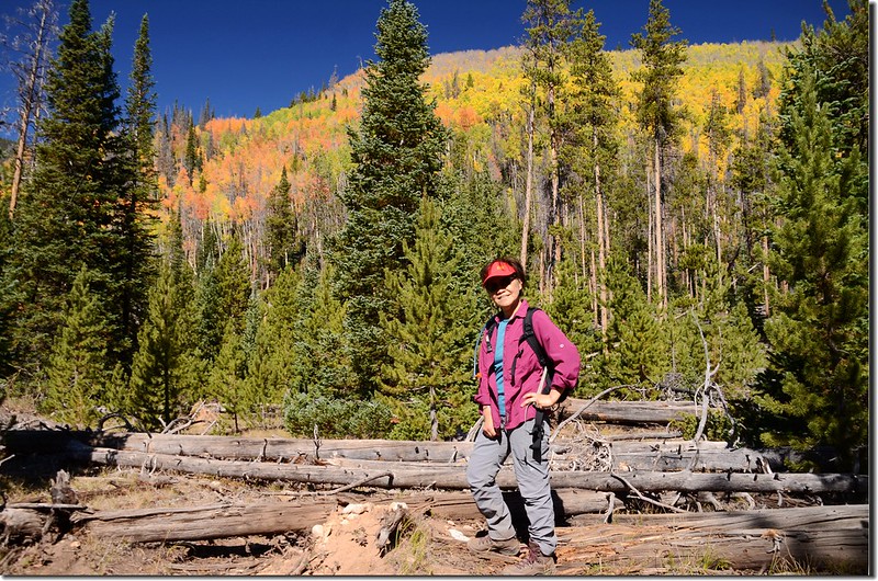
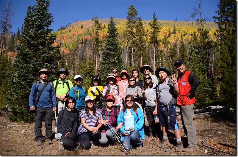
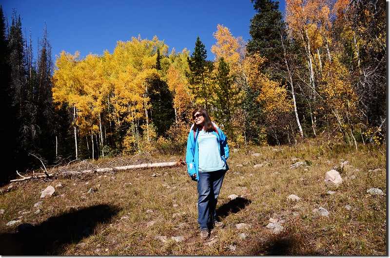
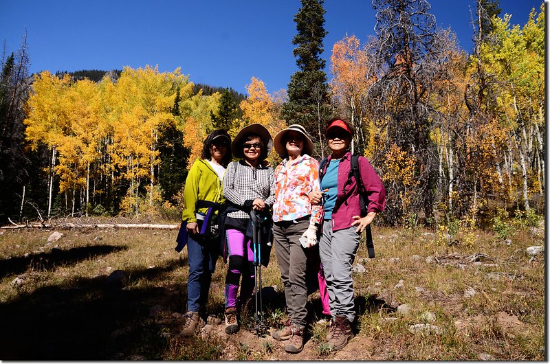
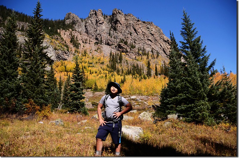
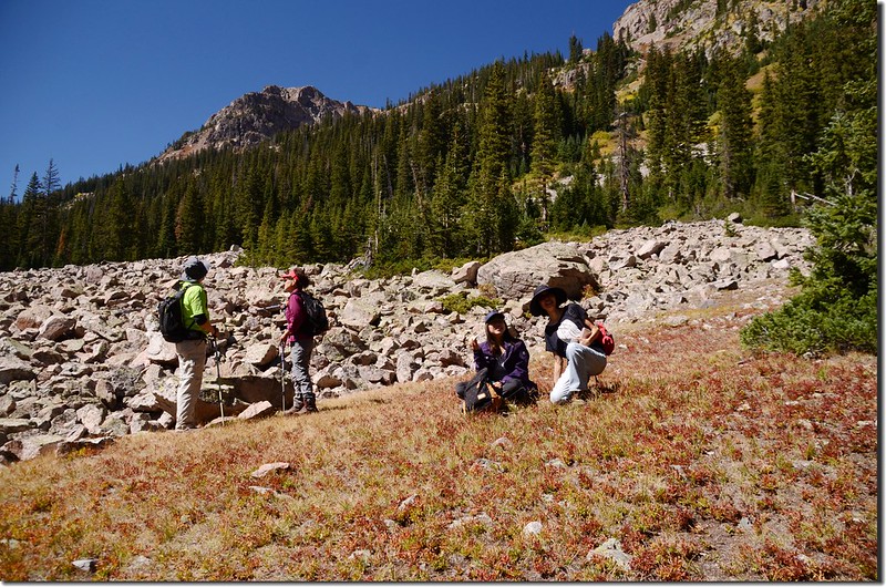
上週六登山隊本安排到Kenosha Pass健行兼欣賞白楊木(aspen)轉為金黃的葉子,但因為今年氣候反常,白楊木(aspen)葉子提早了7~10天轉黃,該地區的白楊木(aspen)葉子已掉了八、九成,領隊品菁女士臨時更改計畫轉移到Silverthorne的Willowbrook Trailhead去攀登South Willow Falls續走Gore Range Trail,該步道去年登山隊也去走過,沿途有不少的白楊木(aspen),我們週六去走時葉子還很多且正是變色尖峰期,雖然高山上已掉了兩三成,但步道兩旁的葉子則是金黃亮麗,讓同行的山友真是驚艷連連!
~~~~~~~~~~~~~~~~~~~~~~~~~~~~~~~~~~~~~~~~~~~~~~~~~~~~~~~~~~~~
攀登地點:South Willow Falls (海拔10,020呎/3,054公尺)續走Gore Range Trail
登山口:Willowbrook Trailhead (海拔8,970呎/2,734公尺)
登山里程:來回約8.4哩/13.44公里
總爬升高度:約1,600呎(488公尺)
登山時間:約5小時10分
~~~~~~~~~~~~~~~~~~~~~~~~~~~~~~~~~~~~~~~~~~~~~~~~~~~~~~~~~~~~
行車資訊:
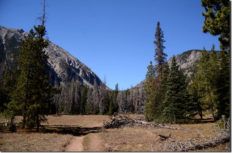
由Golden走CO-470 E下交流道後走I-70 W西行,行約54.3哩後於Exit 205出口 (CO-9 N出口)下交流道,朝US-6 E/Silverthorne/Dillon前進,行0.3 哩後於CO-9 N/Blue River Pkwy向右轉沿CO-9 N續行,再行1.9哩左轉Willowbrook Rd,一路沿著Willowbrook Rd穿過社區西行,行約1.1哩後抵達道路左側的Willowbrook Trailhead停車場。
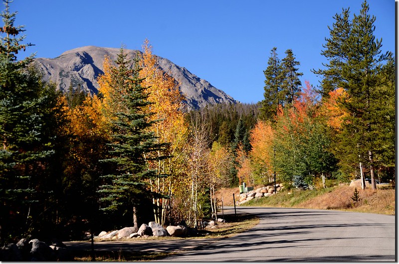
Aspen along Willowbrook Road
步程簡述:
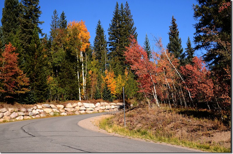
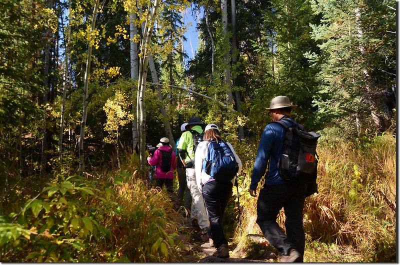
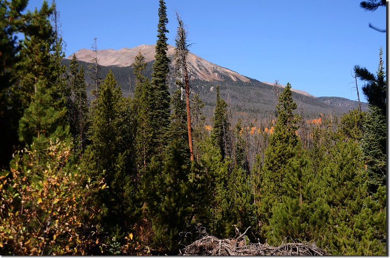
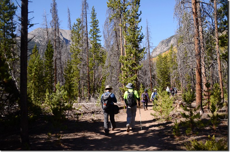
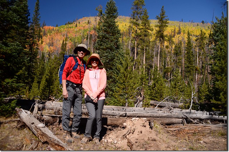
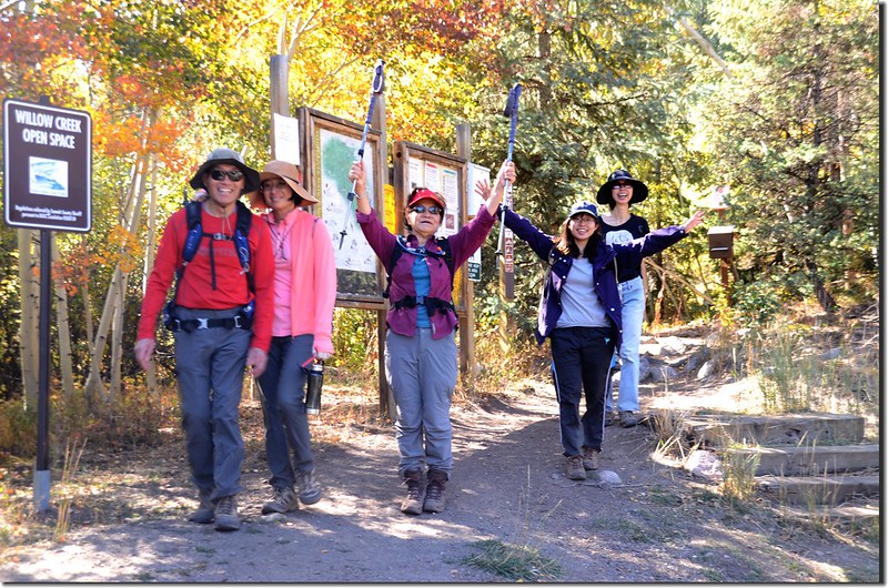
09:40 登山口出發,海拔約8,970呎(2,734公尺)。
Taken from Willowbrook Trailhead
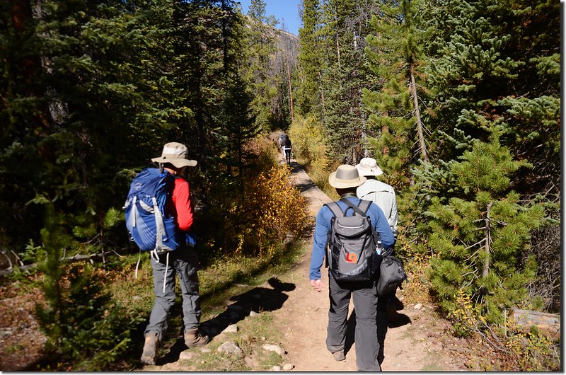
09:41 行約幾十公尺遇岔路,右岔為Ditches Trail,左直行為South Willowbrook Trail,取左直行。
South Willowbrook Trail, Silverthorne
此後步道在森林間穿行,兩三度由原木橋跨過North Willow Creek和Middle Willow Creek的支流;當經過這些多支流的低漥地區後登山步道在罹患蟲害的稀疏松林間緩坡上升。
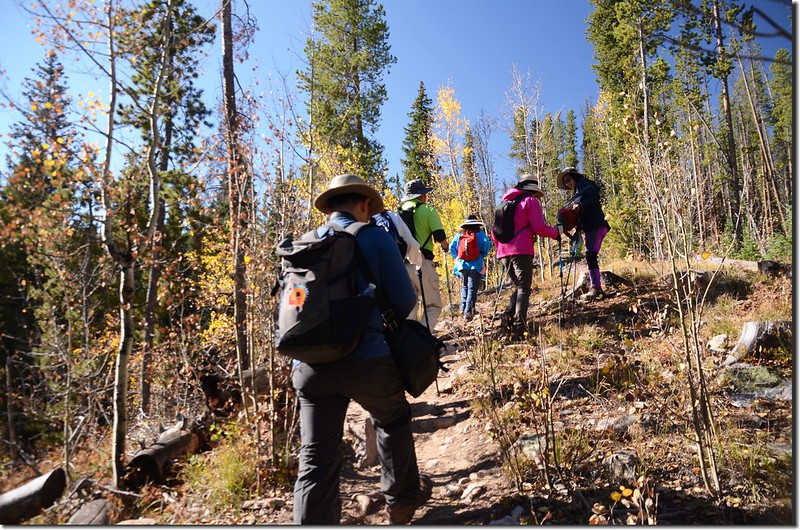
South Willowbrook Trail, Silverthorne
View to east from South Willowbrook Trail, Silverthorne
09:53 稜線小徑右側立有一面“Eagles Nest Wilderness”木製界牌步道進入Eagles Nest Wilderness範圍;
Eagles Nest Wilderness boundary
之後步道沿著山坡左側腰繞一小段後緩降到小河邊沿著河邊上行,左側是South Willow Creek。
09:57 兩三根原木長橋跨過South Willow Creek,此處海拔約9,210呎(2,807公尺),距登山口約0.6哩;過橋後木製指示牌標示右往South Willowbrook Trail,隨即右轉沿著South Willow Creek左岸上行。
行不久路右透空處出現Buffalo Mountain山頭,脫離South Willow Creek後步道開始在平坦的松林間前進,諾大的松林近半遭受到Mountain pine beetle的蟲害而枯死。
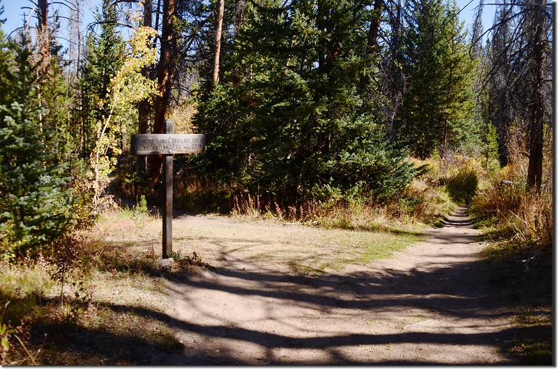
10:15 步道接上Mesa Cortina Trail,此處海拔約9,422呎(2,872公尺),距登山口約1.1哩;岔路左邊下山通往Mesa Cortina Trailhead,右邊上山接Gore Range Trail,取右行,步道仍在平坦的松林間前進。
The east ridge of Red Peak from Mesa Cortina Trail
Mesa Cortina Trail
10:27 抵達橫跨South Willow Creek處,去年來時是以三根有點毀損的原木橋跨過小溪,現在已新建一座小小的木板橋,過橋後步道續沿South Willow Creek右(西)岸上行;
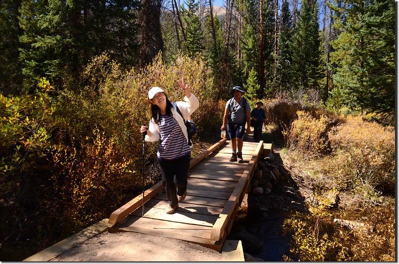
Crossing wooden bridge at South Willow Creek
再行數十公尺步道接上Gore Range Trail,此處海拔約9,428呎(2,874公尺),距登山口約1.6哩;
Mesa Cortina Trail & Gore Range Trail fork
右岔Gore Range Trail不取,取左沿Gore Range Trail直行。
Gore Range Trail
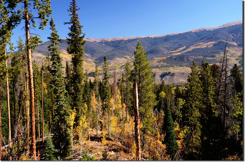
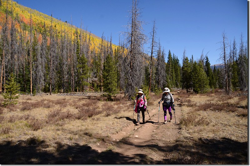
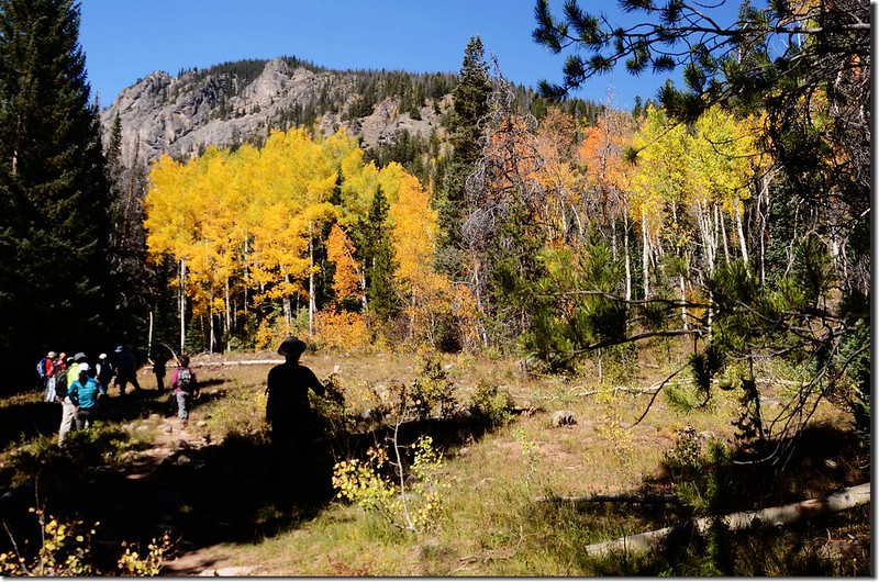
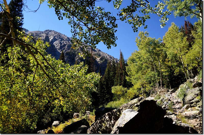
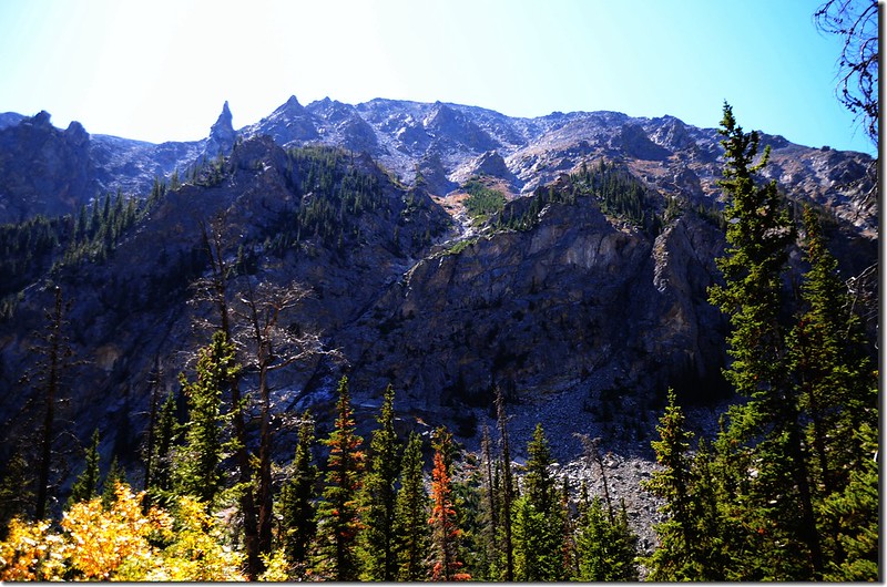
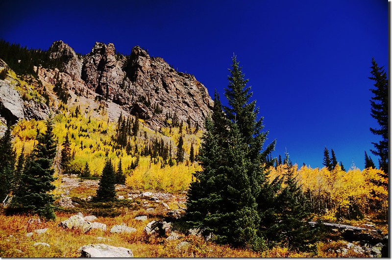
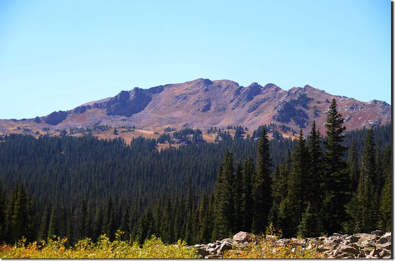
10:40 出松林來到一片大草原,此處海拔約9,540呎(2,908公尺),距登山口約2.4哩;碩大的Buffalo Mountain山頭矗立在正前方;
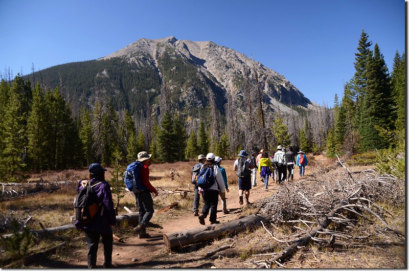
View of Buffalo Mountain up close from the meadow along Gore Range Trail
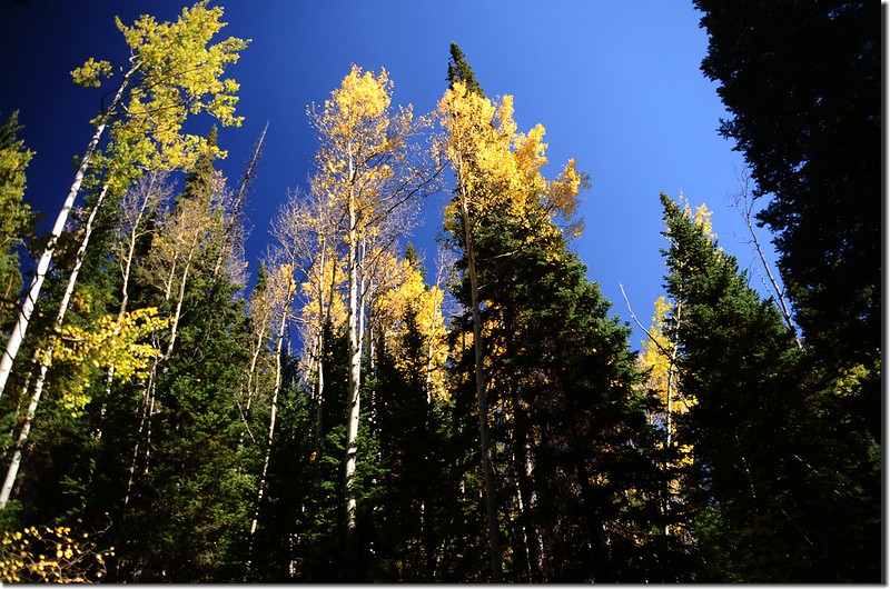
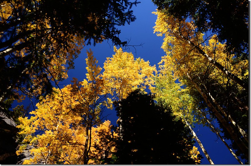
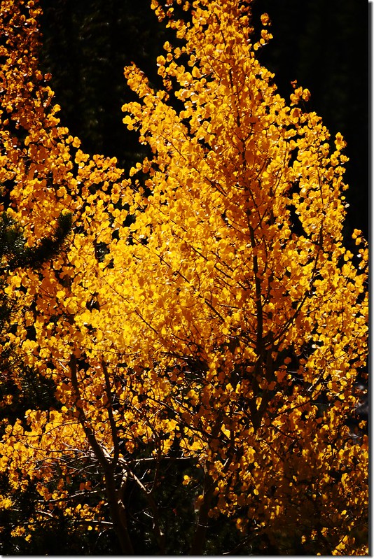
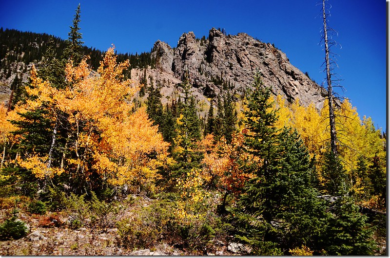
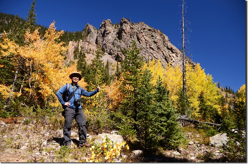
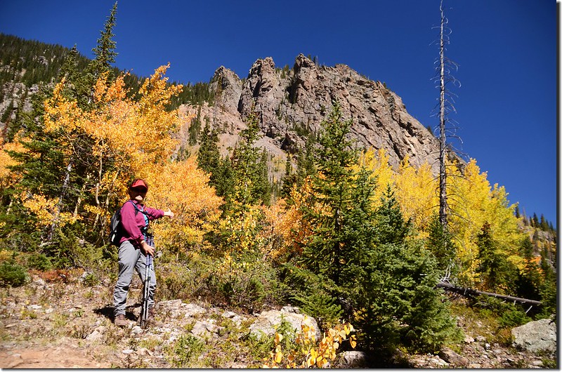
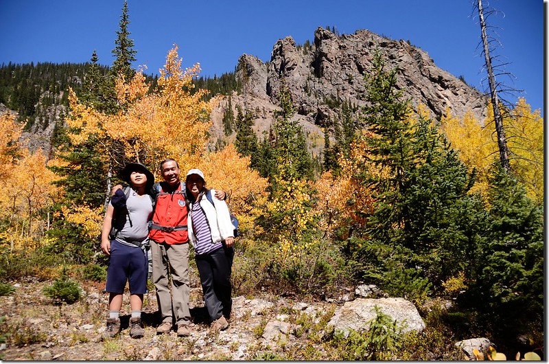
右側山頭則是由Red Peak拉出來的東稜,山坡上是一大片白楊木(Aspen),葉子一片金黃,雖然已掉了兩三成,但還是非常的壯觀。
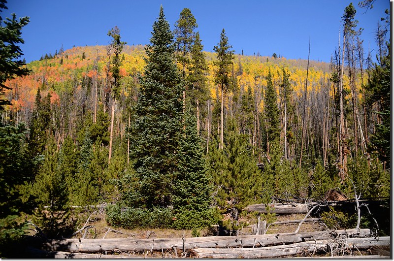
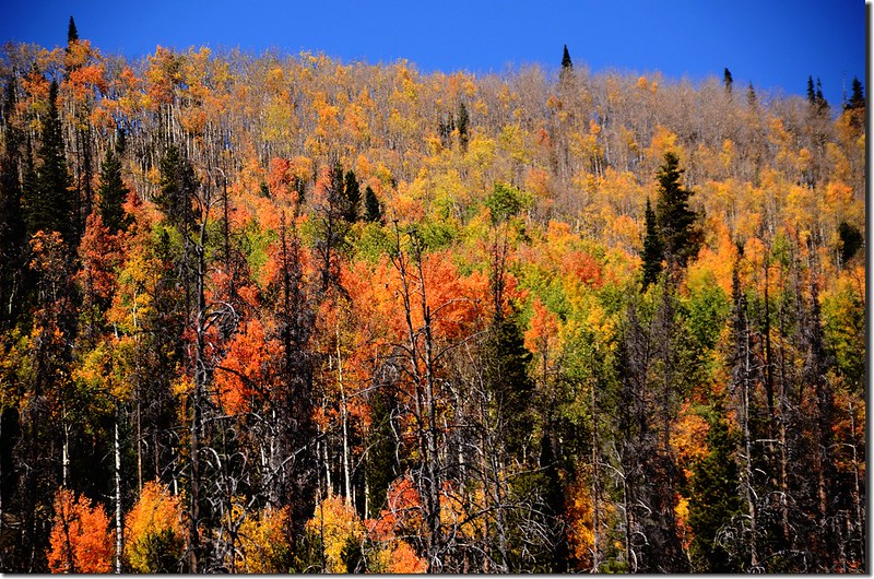
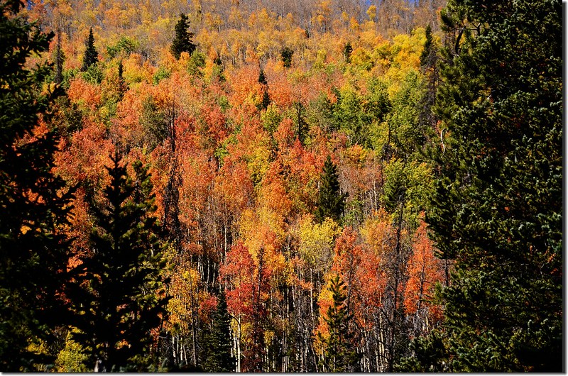
Aspen groves cover the east ridge of Red Peak
Taken from the meadow along Gore Range Trail
Buffalo Mountain (L) and Red Peak East Ridge (R) taken from the meadow
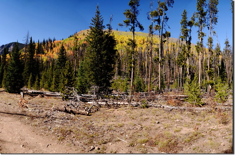
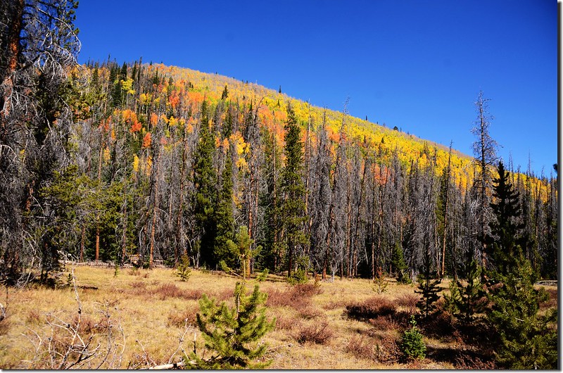
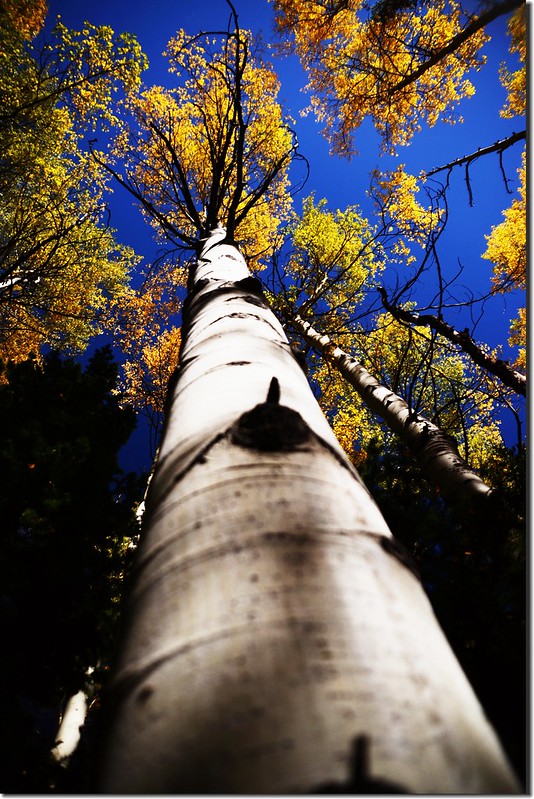
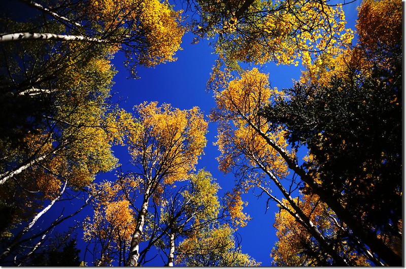
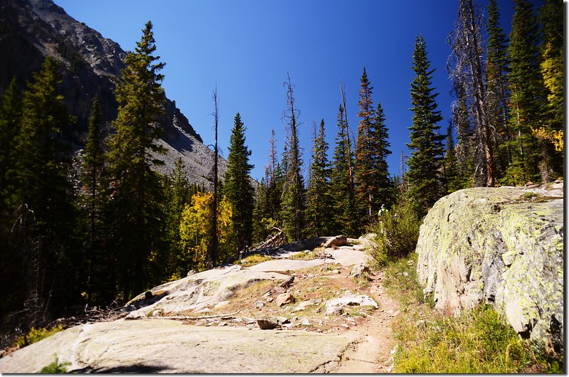
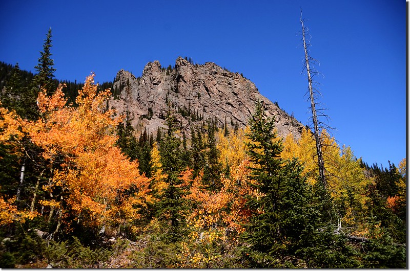
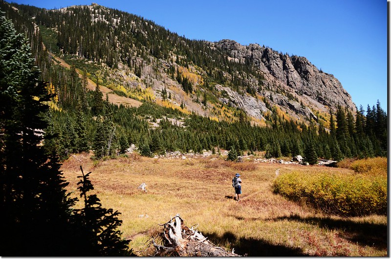
離開大草原續沿步道西行,經過幾處大小草原後步道又進入森林中緩升,步道旁的白楊木葉子變色正進入尖峰期,森林內小徑鋪著厚厚的一層白楊木落葉;
Aspen in fall, Gorge Range Trail, Silverthorne
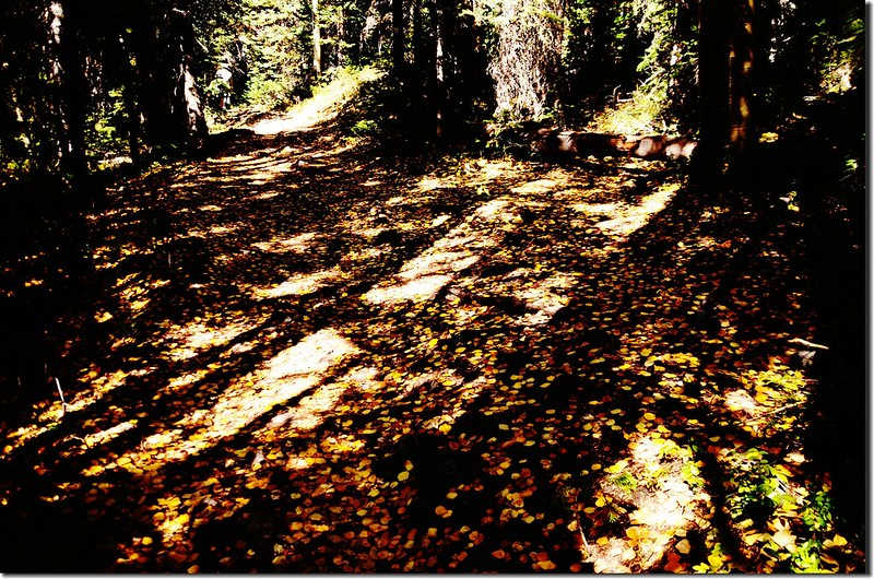
Falling aspen leaves carpet the interior of the forest
Taken from the meadow along Gore Range Trail
隨著步道高度的爬升路徑變得狹小切多岩石,已不如草原之前的平坦好走,但還不至於對行進造成影響。
Aspen in fall, Gorge Range Trail, Silverthorne
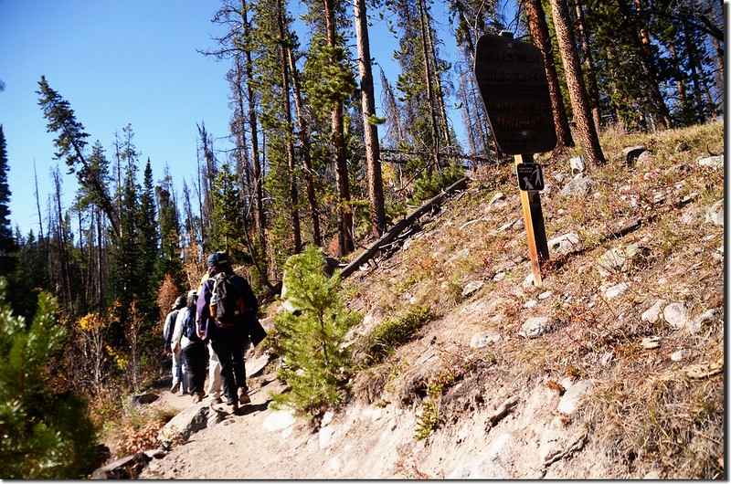
11:22 抵達South Willow/Buffalo Cabin Connect Trail岔路,海拔9,640呎(2,938公尺),距登山口2.7哩;左岔通往South Willow/Buffalo CabinTrailhead,取右Gore Range Trail直行。
Aspen in fall, Gorge Range Trail, Silverthorne
11:33 途經路左一塊大巨石,紀錄記載此處距South Willow Falls剩下0.2哩。
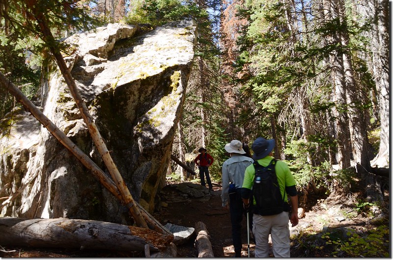
A massive 20' high block of granite along the trail
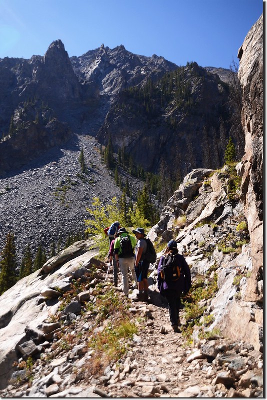
11:35 上抵一處石瀑區,記得去年來到此處幾棵金黃葉子的白楊木在靄靄白雪的Buffalo Mountain陪襯下顯得異常艷麗,當時在此消磨不少時間;今天這幾棵白楊木葉子還是翠綠的,步道由石瀑中穿過。
The trail heads rocky slope through stands of beautiful aspen trees
Aspen in fall, Gorge Range Trail, Silverthorne
11:48 途經路左一塊巨岩展望點。
11:51 抵達South Willow Falls岔路,此處海拔約10,035呎(3,059公尺),距登山口3.15哩;左下往South Willow Falls,右續行為Gore Range Trail,我們一部分山友直接到South Willow Falls休息午餐,領隊計畫續往Gore Range Trail前行一段路,所以取右沿Gore Range Trail續行。
Gore Range Trail
12:02 上抵South Willow Falls最頂端,這也是一處巨大岩石展望區,參觀後續沿步道上行;
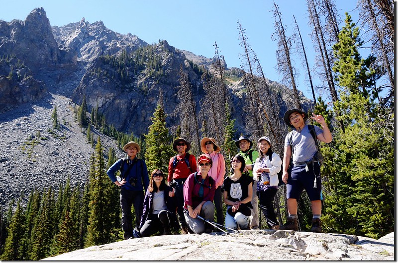
Taken from a rock viewpoint near South Willow Falls
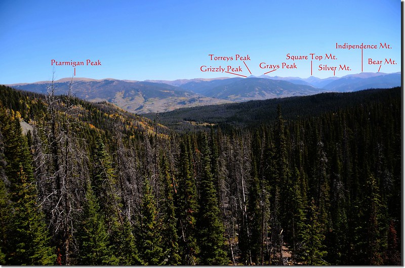
Looking east onto Grays, Torreys, Grizzly Peak et al.from the top of South Willow Fall
Aspen in fall, Gorge Range Trail, Silverthorne
Gorge Range Trail, Silverthorne
Buffalo Mountain from Gore Range Trail
Aspen in fall, Gorge Range Trail, Silverthorne
Aspen in fall, Gorge Range Trail, Silverthorne
Taken from Gore Range Trail
在海拔10,200呎以後步道趨於緩平,步道幾處有點泥濘。
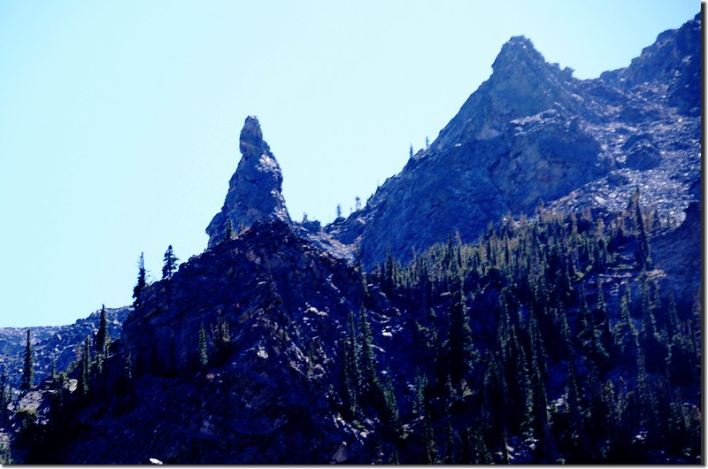
12:42 抵達一處廣大的岩石坡(boulderfield),海拔約10,400呎(3,139公尺),距登山口約4.15哩,此處往西眺望在一片松林頂端浮現出Eccles Pass、12,435山頭以及Red Buffalo Pass優美的弧線,弧線左端延伸過去是Buffalo Mountain,弧線右端則延伸到Red Peak;
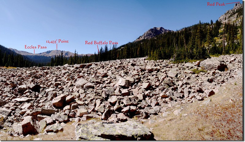
Looking east at Eccles & Red Buffalo Pass from Gore Range Trail near 10,400 ft
A Closer View of the 12,435' Point from Gore Range Trail near 10,400 ft.
領隊決定今天登到此處折返,我們在此休息午餐。
Taken from the boulderfield near 10,400 ft., Gore Range Trail
13:05 下山。
Gore Range Trail
13:30 返抵South Willow Falls岔路,取右往South Willow Falls,第一批山友已下山;South Willow Falls可分上下兩層,上層是一條長瀑注入一潭小潭,下層則是一條Cascade,小休後隨即循原路下山。
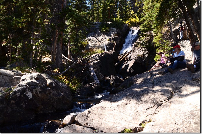
South Willow Falls
14:50 回到登山口,整裝後開車返家。
Taken from Willowbrook Trailhead
沒有留言:
張貼留言