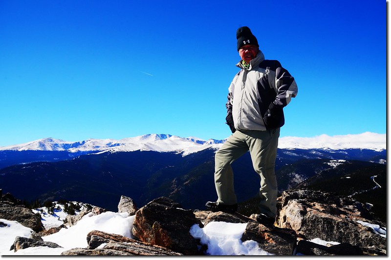
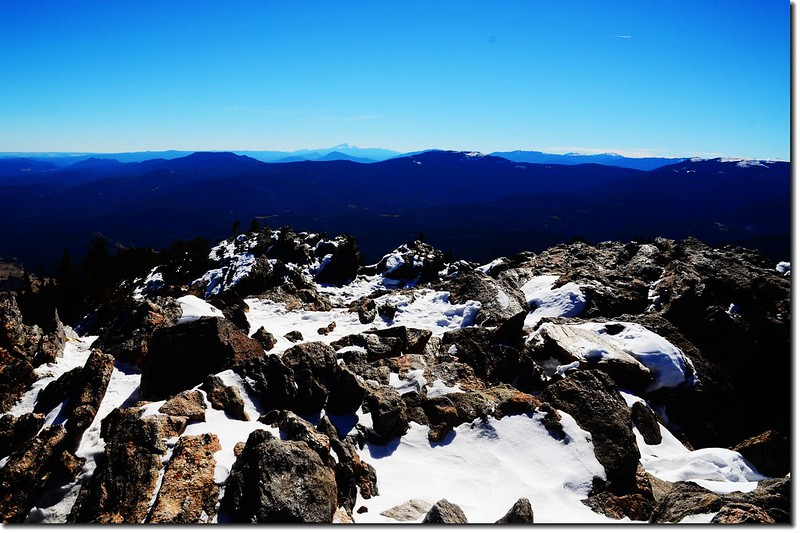
Me on the summit of Chief Mountain, in the background is Mount Evans Massif
Chief Mountain 是隸屬於科羅拉多州Front Range 範圍一座很容易攀爬的山頭,她位在離丹佛市區不遠的Squaw Pass road 旁邊,距附近小鎮Evergreen才十幾哩路,和三週前去攀爬的Squaw Mountain分據東、西遙遙相望。該山海拔11,709呎/3,569公尺,登山步道全程才一哩半左右,且一路在松林中穿行,僅僅快到山頂時才出森林線,走一小段視野非常遼闊的苔原地形便可登上她的岩石山頭,讓你享受那360度無盡頭的視野,因此此山在夏天雪融之後是座非常熱門的登山景點。
---------------------------------------------------------------------------------------------------------
攀登山頭:Chief Mountain(海拔11,709呎/3,569公尺)
登山口:Chief Mountain Trailhead(海拔約10,740呎/3,274公尺)
爬升高度:約1,050呎/320公尺
登山里程:往返約3哩
登山時間:2小時30分
---------------------------------------------------------------------------------------------------------
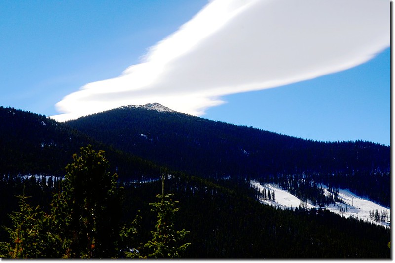
Chief Mountain's summit barely pokes out above the dense pine forest, taken from the Squaw Pass Road
行車資訊:
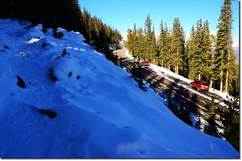
從Denver沿I-70州際公路西行,抵Exit 252時下交流道再沿CO-74 (Evergreen Parkway)南行,約3.4哩後右轉Squaw Pass Road,沿著Squaw Pass Road西行約12哩左右,左側(南),有一條不小的石子路,約在Squaw Pass Road里程牌19 miles左右,此為Squaw Mountain的登山口,隨即再經過路右岔路口(岔路右下往Echo Mountain Ski Resort)不久,路右路肩旁有一狹長空地即為停車場,此處距Squaw Mountain的登山口約0.3哩,該停車場約可停8~10部車子。
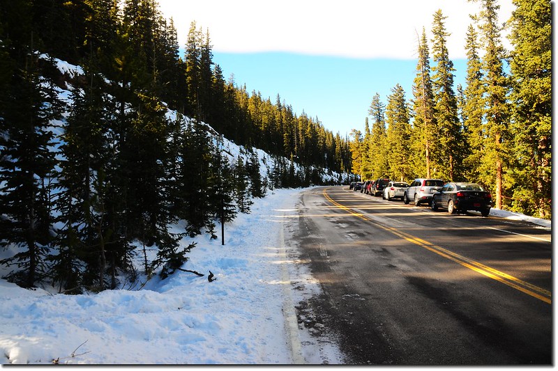
Parking lot

Snow-plow truck, 鏟雪車正在鏟除道路積雪
步程簡述:
10:33 登山口起登,海拔約10,740呎/3,274公尺;
Chief Mountain Trailhead
登山口就位在停車處的對面,道路邊坡有一條小徑上山,沒有明顯標示,但小徑上登幾步路即見小徑右側有一“CHIEF MTN. TRAIL NO.58”木製路牌;
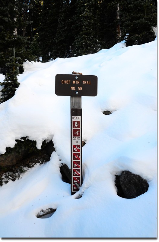
Chief Mountain Trail Sign
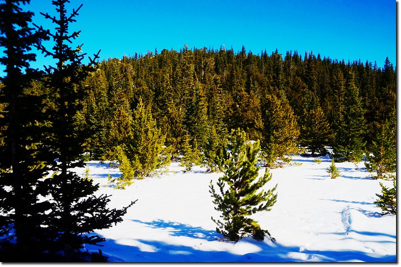
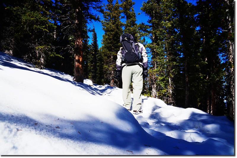
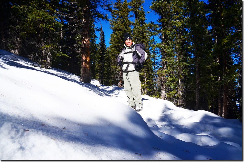
再行幾步路小徑隨即右轉在Squaw Pass Road上頭沿道路平行上登,數十呎後左轉進入松林間一路朝東南方向緩升。
Chief Mountain Trail
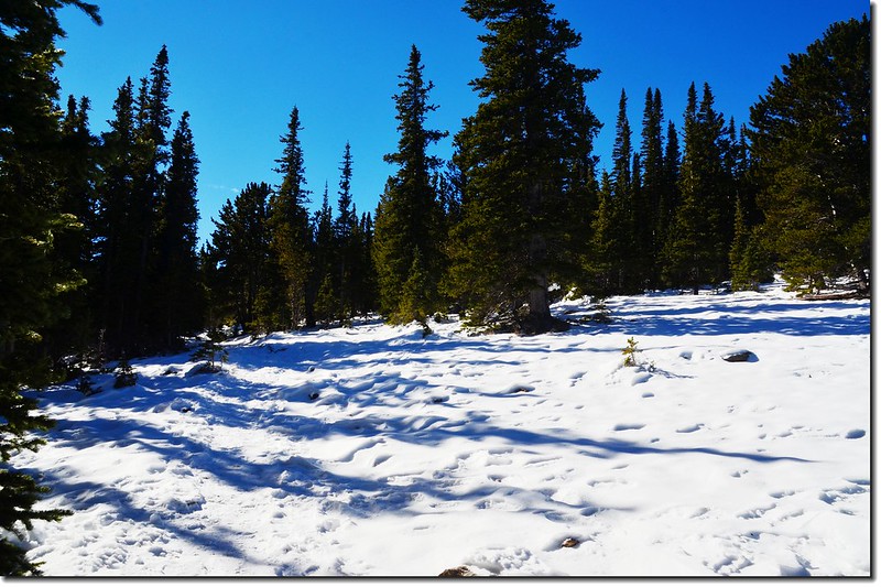
森林裡積雪應有30公分以上,還好此山蠻熱門的,登山客已踩出一條明顯的路徑,這比上週去攀登Mount Sniktau 要好走多了。
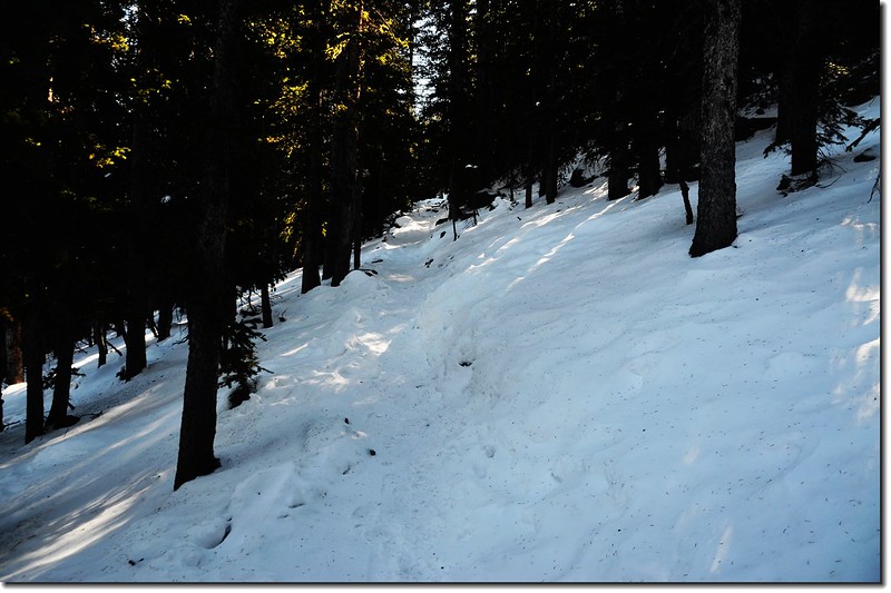
Chief Mountain Trail
10:43 穿越Old Squaw Pass Road,海拔約10,997呎/3,352公尺,距登山口約0.3哩;
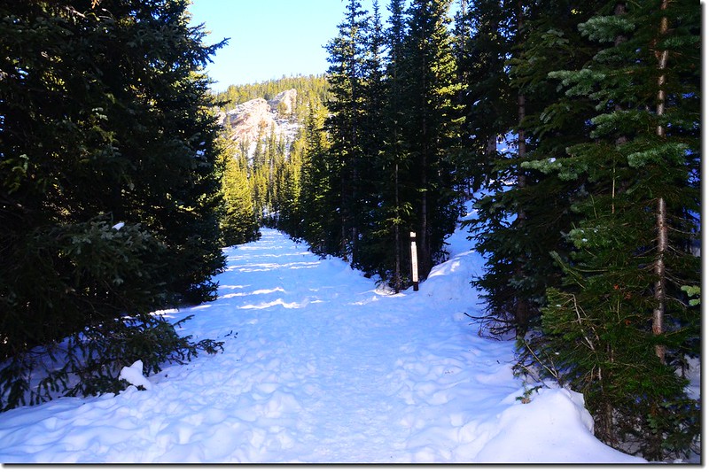
The route crossed the Old Squaw Pass Rd.
穿越Old Squaw Pass Road後即看到一木製路牌,上寫“Chief Mountain 2 miles; Idaho Springs 7 miles”,顯然里程標示有誤,有登山客在旁邊刻有近似1.1的字樣;其實此山單程約1.5哩左右。

The sign at the cross roads of Old Squaw Pass Rd.
10:53 抵達Chief Mountain和Papoose mountain之間的鞍部,海拔約11,070呎/3,374公尺,距登山口約0.4哩,鞍部有一較開闊地形稍有展望;
The saddle between Papoose & Chief Mountain
左往Papoose mountain(看不到路跡,也許是近期無人攀登又被積雪覆蓋住吧);
Looking east onto Papoose mountain from the saddle
右往Chief Mountain,取右行;右朝南行約百呎後路徑轉右朝西北上山。
I enjoy a heavily broken track on Chief Mtn
On my way up Shief Mountain
11:17 上到一展望點,海拔約11,407呎/3,477公尺,距登山口約1.0哩(1.6公里);
Overlooking northwest onto the Continental Divide from the viewpoint
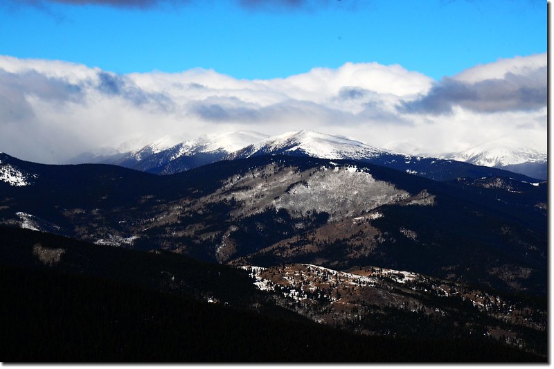
西北望去整個落磯山脈一覽無遺,大陸分水嶺上的靄靄白雪更是壯觀,Chief Mountain岩石山頭則矗立在左前方。
Looking up onto Chief's summit from the viewpoint
The rocky summit seen from treeline
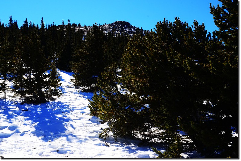
過了展望點後步道即是連續幾個“之”字形彎路。

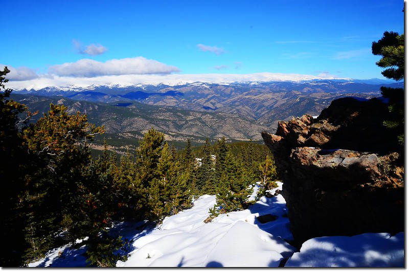
Overlooking southwest onto Mount Evans Massif from the Chief Mountain Trail
Overlooking west onto Grays & Torreys Peaks from the Chief Mountain Trail
Overlooking west onto Parnassus & Bard Peaks from the Chief Mountain Trail
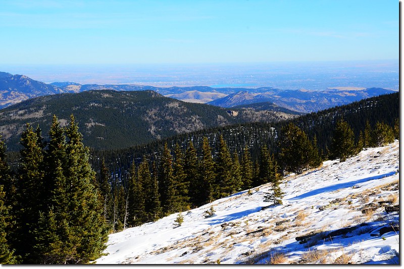
Overlooking east onto Denver down from the Chief Mountain Trail
11:25 出森林線進入苔原地帶,小徑旁立有一根警示木牌,海拔約11,506呎/3,507公尺,距登山口約1.1哩(1.76公里);
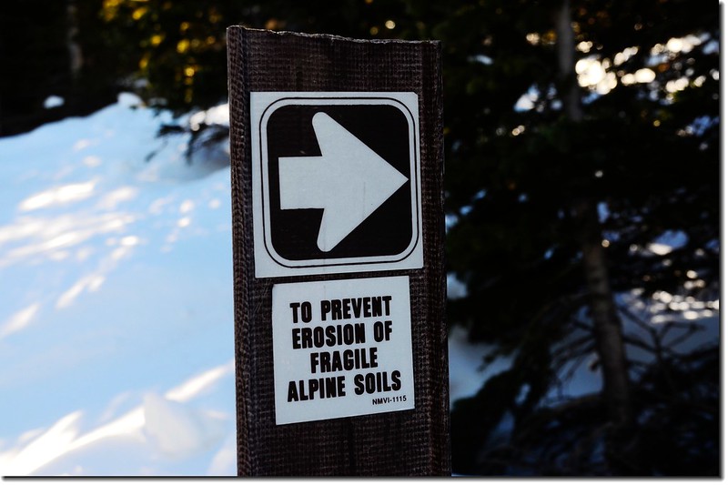
To prevent erosion, Do not enter
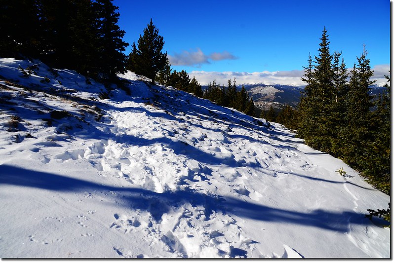

Chief Mountain Trail
路旁路續出現一些長期受風力吹襲造型奇特的“Bristlecone pine”松樹;

Windblown Bristlecone Pine on Chief Mountain, with Squaw Mountain in the distance
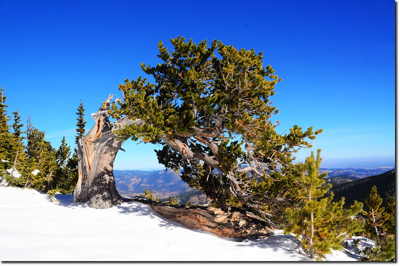
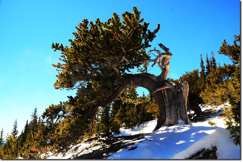
Bristlecone pine on the Chief Mountain

Bristlecone pine on the East face of Chief Mountain
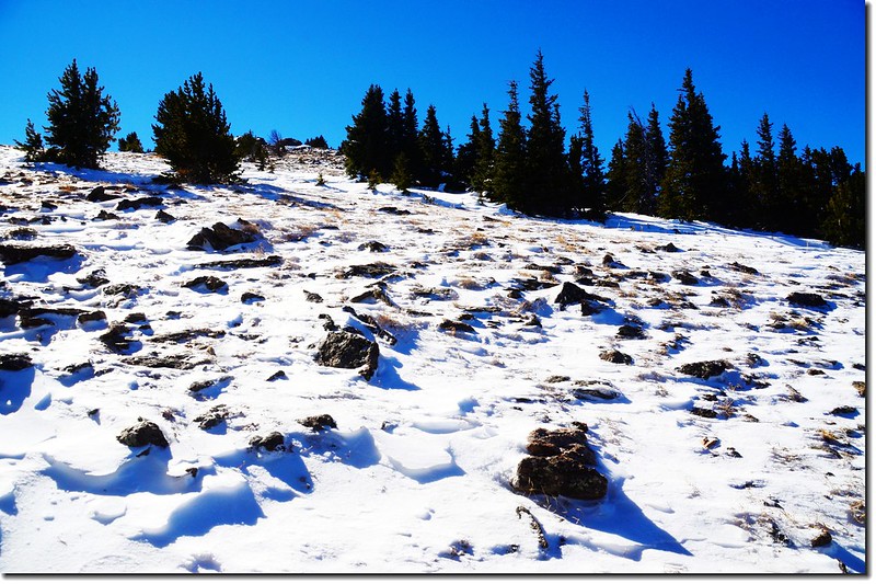
苔原地帶的岩石則覆蓋一層厚厚白雪,沿著路跡繼續前進。
11:48 抵達Chief Mountain岩石山頂下方,岩石山頭有一小段巨岩坡需要攀爬,若沒積雪攀爬應該非常容易,即使今天積滿白雪小心一點、慎防石頭是否結冰,爬起來也是一點困難都沒有。
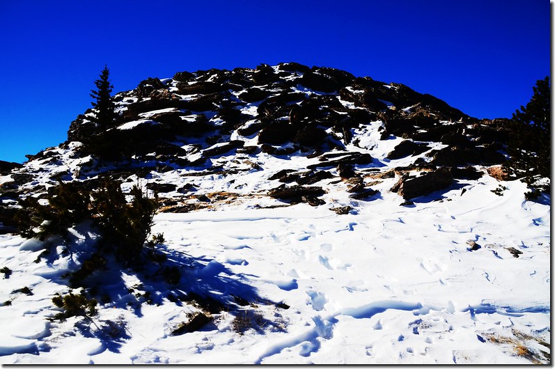
Looking at the summit talus pile
11:50 登上Chief Mountain岩石山頂,海拔11,709呎/3,569公尺,距登山口約1.5哩(2.4公里)。
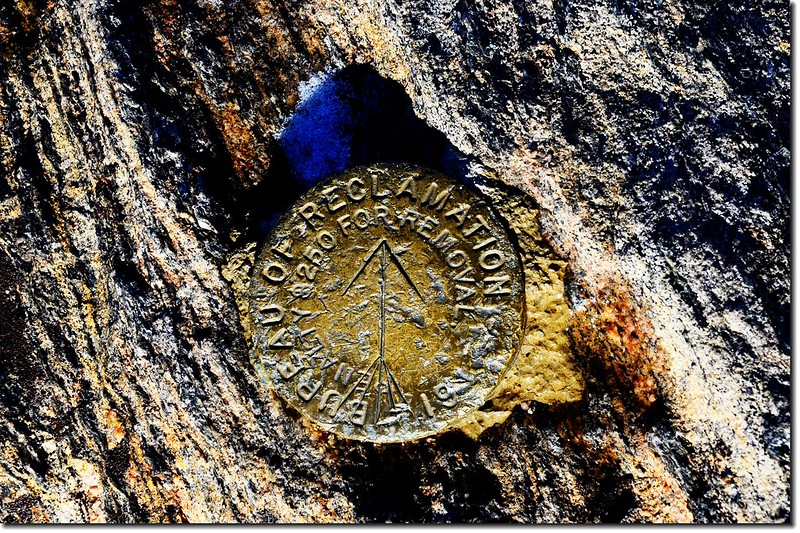
Chief Mountain Summit Marker

Chief Mountain Summit Marker, in the background are Mount Evans Massif

Me on the summit of Chief Mountain, in the background is Mount Evans Massif
山頂風勢蠻強的,但展望極佳;
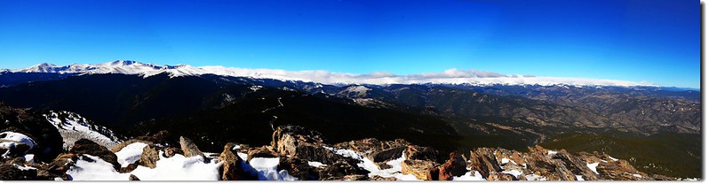
A 180° Panorama from the summit of Chief Mountain(southwest to north)
Overlooking southeast to west from the summit of Chief Mountain
Overlooking southeast to west from the summit of Chief Mountain
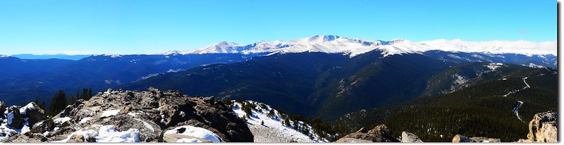
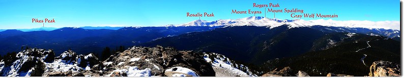
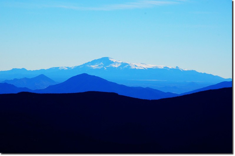
西南方眺望直線距離約8.8哩、高出此山近2,600呎(792公尺)的Mount Evans巨大山塊,環繞在Mount Evans周遭的是Rogers Peak、Mount Warren、Mount Spalding、Rosalie Peak和Gray Wolf Mountain幾座海拔超過13,000呎(3,962公尺)的13ers;


Overlooking southwest onto Mount Evans Massif from the summit of Chief Mountain
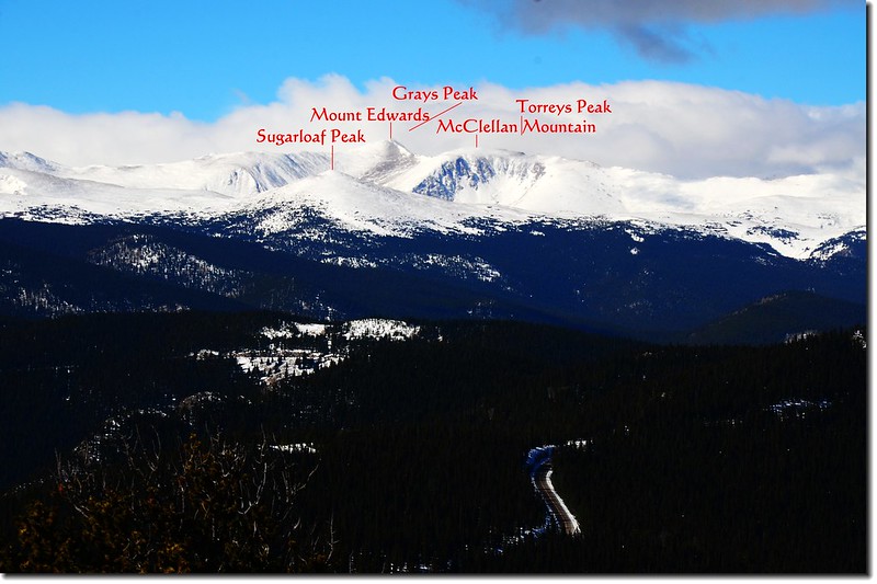
從Mount Evans山塊往右延伸到西邊另有兩座14ers~Grays Peak和Torreys Peak隱藏在雪山上的濃厚白雲底下;

Looking down onto Squaw Pass from the summit of Chief Mountain
Overlooking west from the summit of Chief Mountain
目光再由14ers~Grays Peak和Torreys Peak掃向北邊一路是James Peak地區、Indian Peaks以及最遠的落磯山脈的Longs Peak和落磯山國家公園地區,這一長串的大陸分水嶺上均已覆上靄靄白雪,雖然白雪之上頭籠罩一層厚厚白雲,但仍依稀分辨出幾座較凸出的山頭;
東南方遠處凸出山頭即是遠在六十多哩外的另一座海拔14,115呎(4,302公尺)的14ers~Pikes Peak;
Overlooking northeast onto Pikes Peak from the summit of Chief Mountain
Overlooking northeast onto Pikes Peak from the summit of Chief Mountain
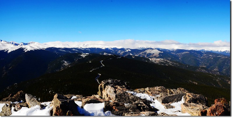
東邊最近的山頭是前不久才去攀登的Squaw Mountain,在其背後遠處則是丹佛市區。
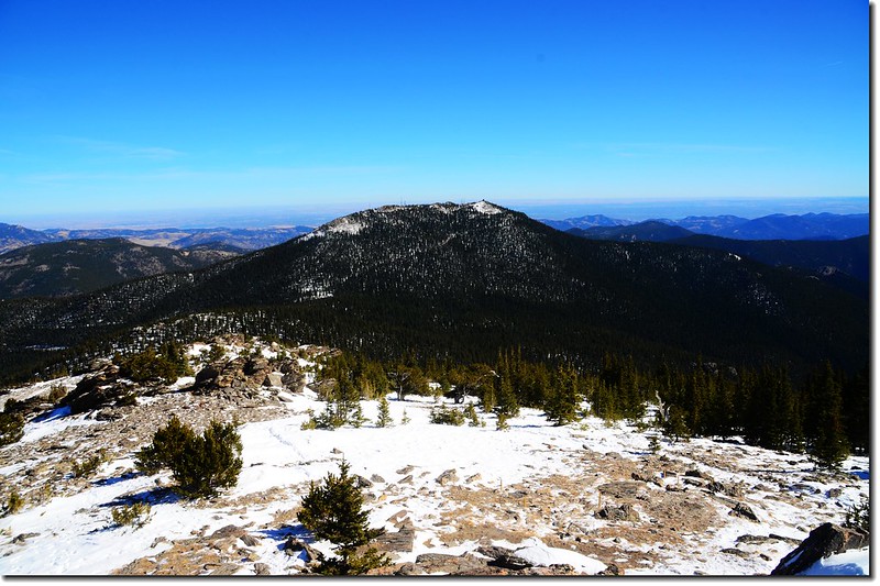
Squaw Mountain as seen from the summit of Chief Mountain

Overlooking east from the summit of Chief Mountain
在一座海拔不算高的小山頭山頂上有如此絕佳的360度展望殊屬難得,難怪此山在夏天的登山季節裡,每逢周末假期裡山頭總是人滿為患了!
12:10 山上風大,拍完照後下山。
13:03 返抵登山口,一趟輕鬆的雪地行~~
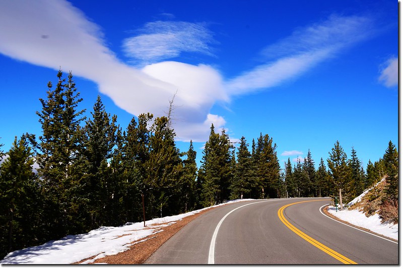
The treacherous changeable cloud on the blue sky
沒有留言:
張貼留言