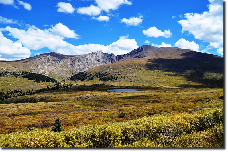
Mount Bierstadt and The Sawtooth from Guanella Pass Trailhead
Mount Bierstadt位在丹佛西方約50哩的地方,海拔14,060 呎(4,285公尺),屬於落磯山脈的Front Range範圍內,行政區隸屬於科羅拉多的Clear Creek County,他是科羅拉多53座14ers(海拔超過14,000呎的山岳)中的其中一座,排名第38,距離在他東北方的另一座14ers--Mount Evans僅1.5哩;Mount Bierstadt是為了Albert Bierstadt而命名,Albert Bierstadt是19世紀知名的落磯山脈山水畫家。
該座山我曾三度攀登,但有一次帶著時年12歲的豆豆和8歲的貝貝同登,那次貝貝登抵近山頂下南鞍處有高山症反應而未登頂,所以今天是四度攀登第三度登頂。
---------------------------------------------------------------------------------------------
攀登山岳: Mount Bierstadt (海拔14,060呎 / 4,285 公尺)
登山口:Guanella Pass Trailhead(海拔11,669呎/3,557公尺)
登山里程(來回):約 7.4 哩(11.84公里)
爬升高度:約2,850呎 / 869公尺
攀登等級:Class 2
登山時間:5小時40分
----------------------------------------------------------------------------------------------
行車資訊:
丹佛沿I-70西行,在Exit 228出口下交流道經Georgetown轉行Guanella Pass南下,續行約11.5哩的山路即達Guanella Pass的最高點前道路左側下方的停車場,此處即為登山口,海拔11,669呎/ 3,557公尺,此段道路一般車輛皆可到達。
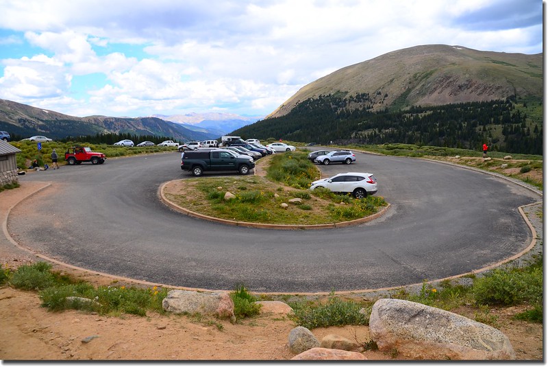
Mount Bierstadt Trailhead parking lot
Overlooking north at Indian Peaks from Trailhead
步程簡述:
08:15 登山口出發,海拔11,669呎/3,557公尺;
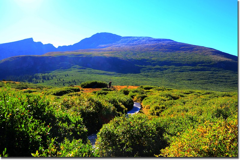
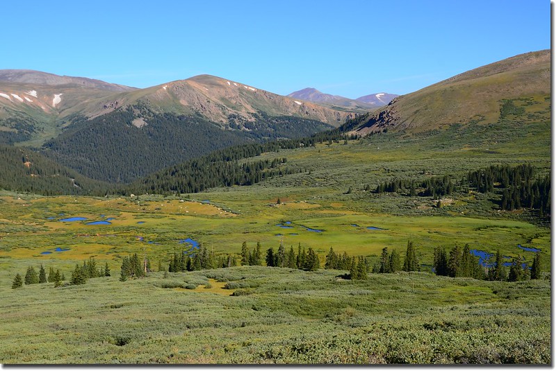
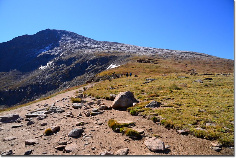
Mount Bierstadt from Guanella Pass
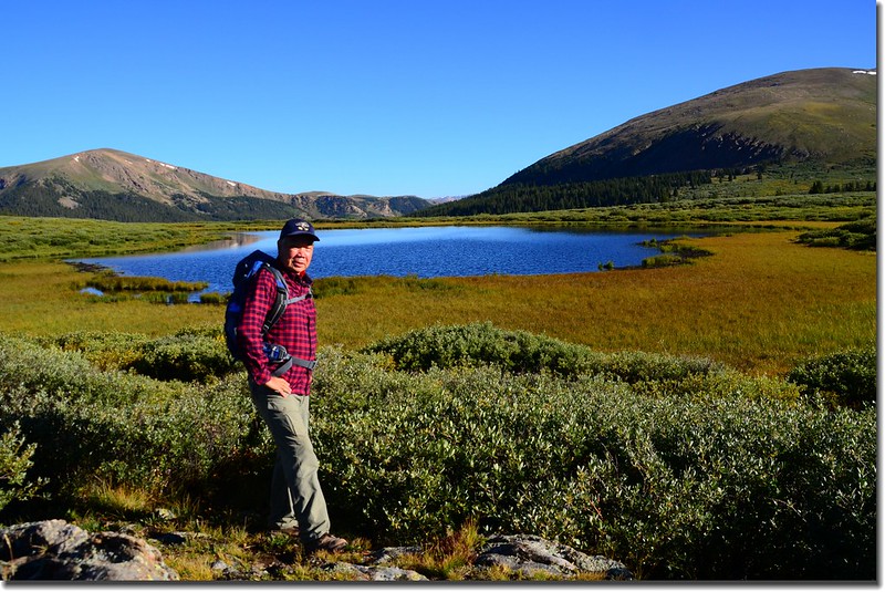
遙望西邊山頭右邊高點即是今天要攀登的山頭~ Mount Bierstadt,遠望山頭似乎有積雪,如果是,應是昨晚下的雪,因位昨天和太座曾來登山口附近散步,山頭還沒有殘雪。
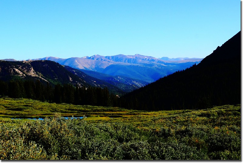
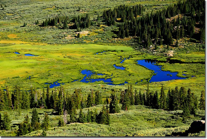
步道一開始是緩下坡往Scott Gomer Creek沼澤地前進,沼澤地長滿高可及胸的植物--willows,它又不是我們認識的柳樹willows,樹枝茂密堅硬,要是鑽進去要比台灣的箭竹林難惹;
Mount Bierstadt from the trail
沼澤地在低窪的地方鋪有木棧道,走起來蠻方便的。
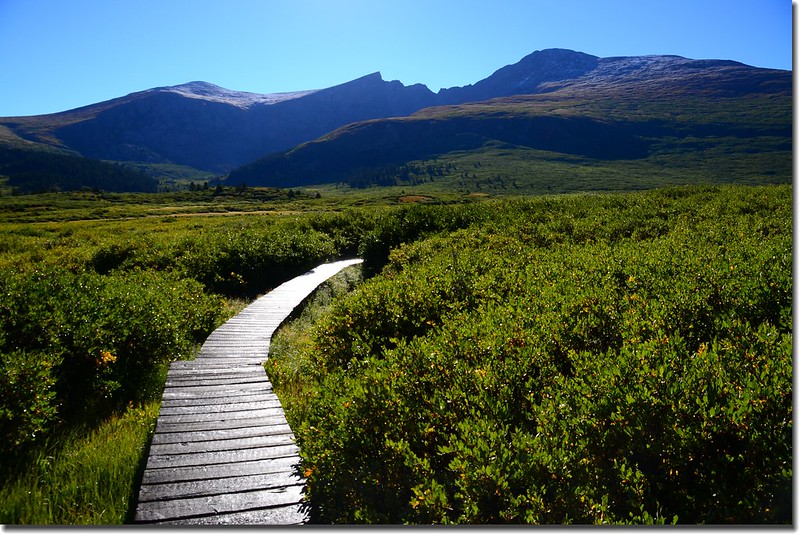
The boardwalk have been built on the muddy sections
08:30 步道左側一無名小潭,湖水在藍天下呈現一片湛藍;
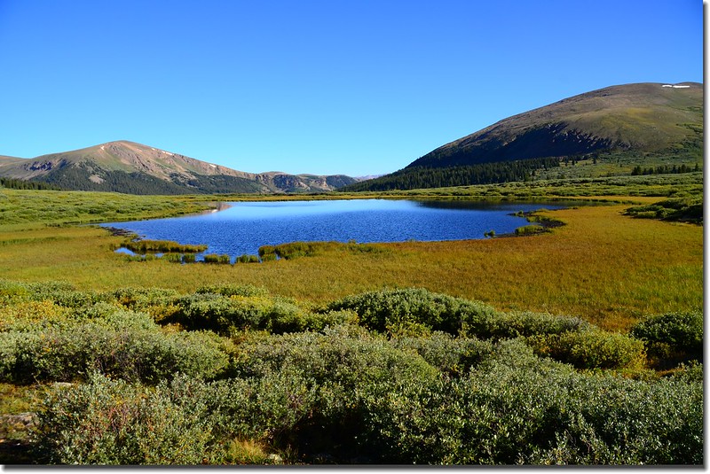
Unnamed pool beside the trail at 11,510'
此處海拔11,510呎/3,508公尺,距登山口約0.5哩。
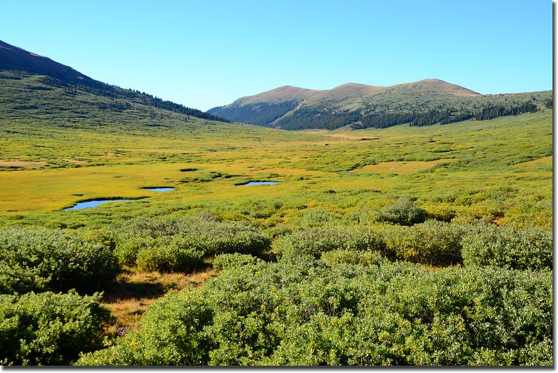
Wetlands & willows grove along the trail
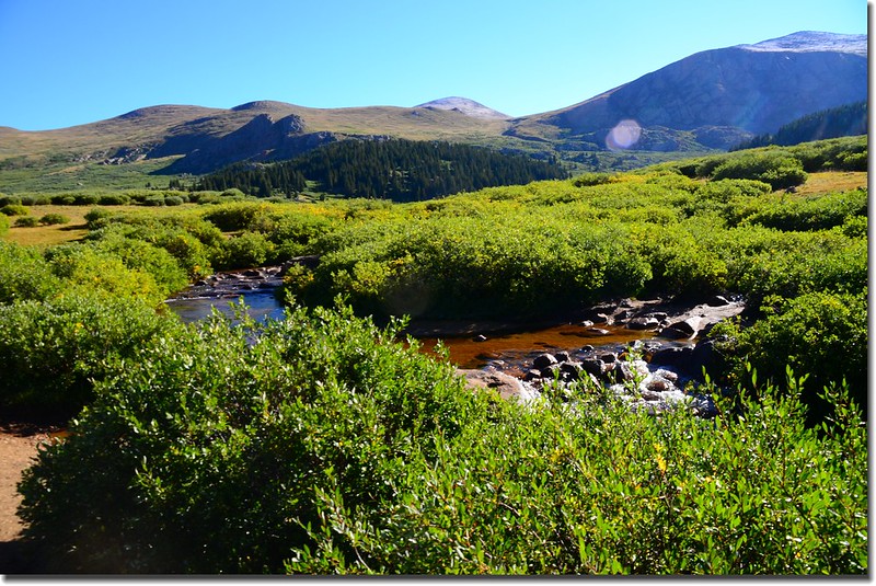
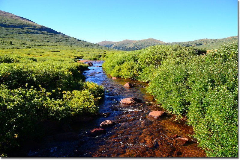
08:44 來到Scott Gomer Creek,小心的從溪流中踏腳石渡過;
Scott Gomer Creek
此地海拔約11,500呎/3,505公尺,距登山口約0.85哩,比登山口下降了一百多呎。
過了Scott Gomer Creek不久又進入willows樹叢並開始在Mount Bierstadt西面山坡下“之”字形爬升。
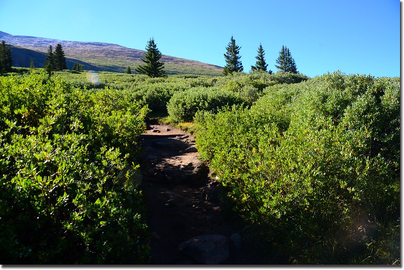
Weaving through the willows grove
Looking west over Guanella Pass Road to 13,794' Squaretop Mountain(L)
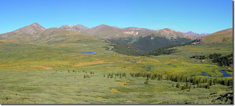
由Mount Bierstadt西坡登山途中回首看看美麗的沼澤地。
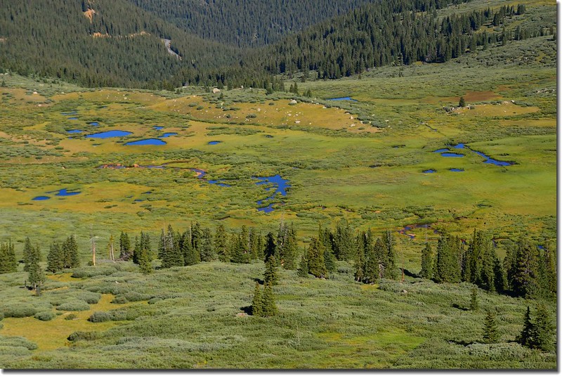
On the trail up Bierstadt, looking back down on the wetland along Scott Gomer Creek
Mount Bierstadt Trail
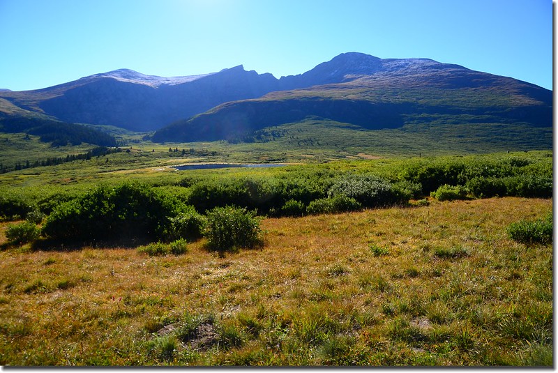
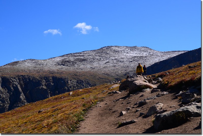
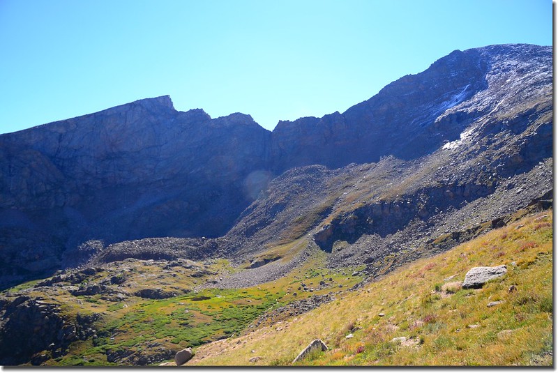
09:37爬升到北肩稜一平坦處,高度約12,300呎/3,749公尺,距登山口約2.2哩;此處較貼近觀看山頭的確是殘雪。
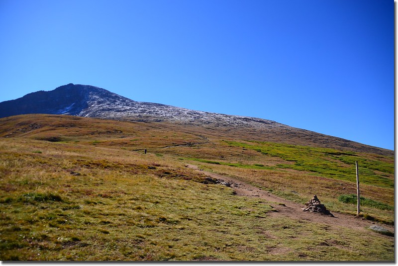
Mount Bierstadt seen from 12,300' along the trail
Near 12,300' with the remining route in full view
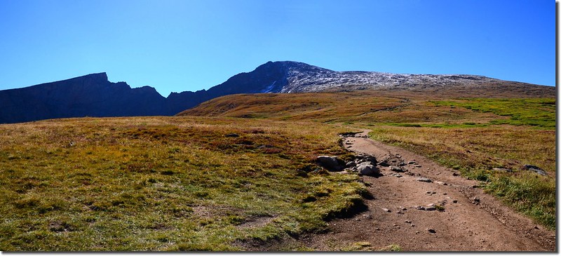
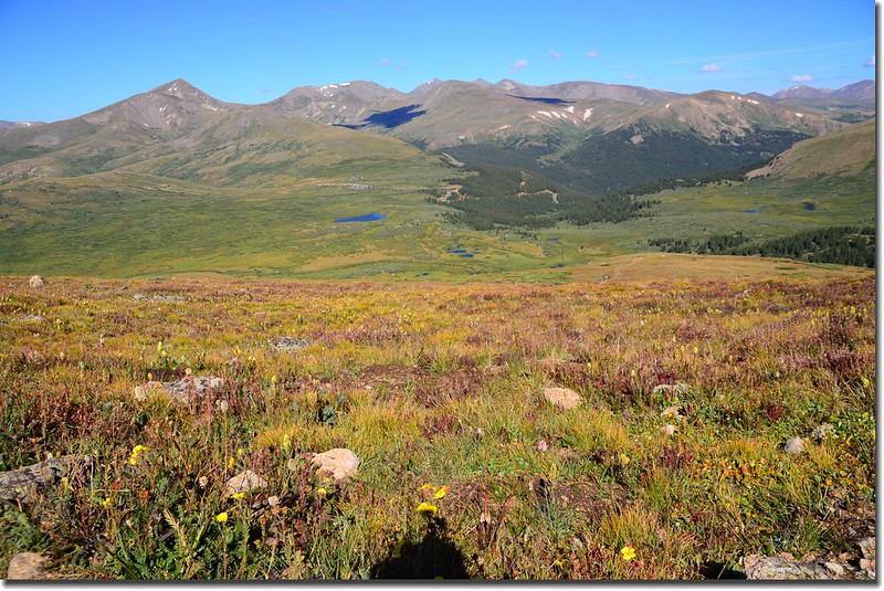
從Mt. Beirstadt半山腰西眺Grays Peak和Torreys Peak兩座14ers。
Near 12,500’, looking west over Guanella Pass Road to Squaretop、Grays & Torreys et al. Mountains
Mount Bierstadt Trail
Mount Bierstadt seen from near 12,500' along the trail
Sawtooth ridge seen from near 12,500' along the trail
Near 12,550’, looking west over Guanella Pass Road to Squaretop、Grays & Torreys et al. Mountains
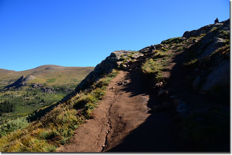
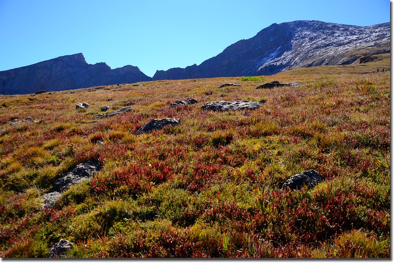
09:54 爬升到北肩稜一處稜線曝露點,距登山口約2.5哩,高度約12,550呎/3,825公尺;此處貼近眺望Bierstadt通往Mount Evans的通道The Sawtooth Ridge更形顯現出其險惡!此後步道右彎朝南陡上。
Mount Bierstadt from 12,550' along the trail
Sawtooth ridge from 12,550' along the trail
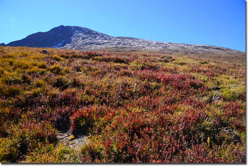
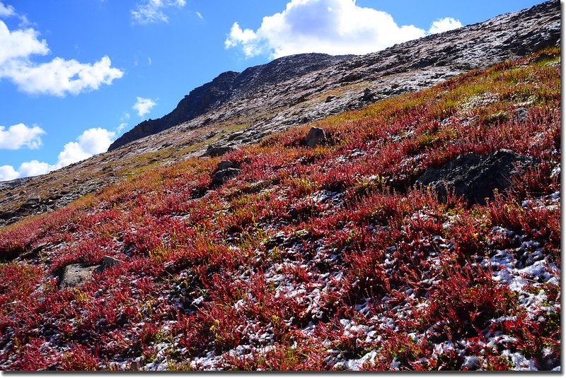
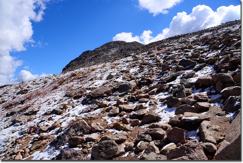
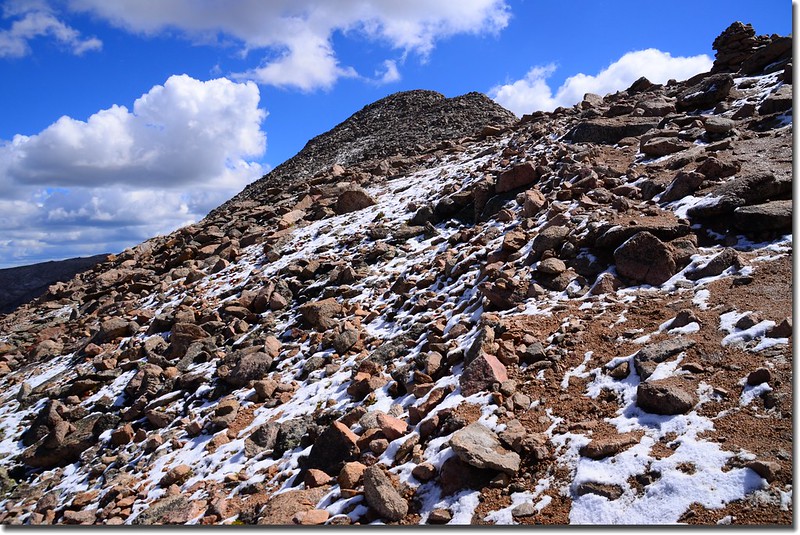
10:10步道轉為不規則岩石路面,也轉為較陡峭,兩旁沿石坡及苔原植物覆蓋著薄薄殘雪。
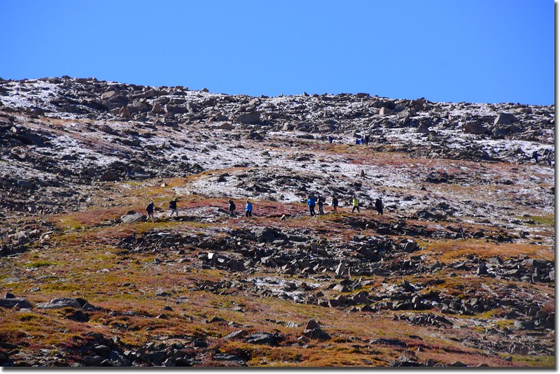
Near 12,800', the terrain on the slope is a bit more rugged and covered with boulders & slight snow
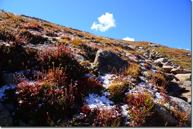
此段不規則岩石路面持續約一哩多直抵山頂,爬升約1,500呎/458公尺,是登此山較難走的一段路。
The rugged slope between 12,600' and 13,800'
Bierstadt's summit seen from above 13,000’
Near 13,000', the terrain on the slope is a bit more rugged and covered with boulders & slight snow
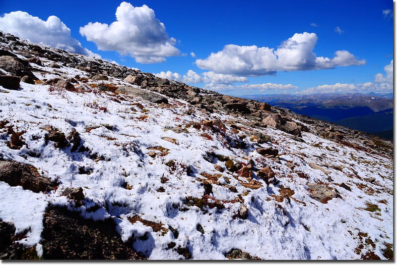
The slope covered with boulders & slight snow
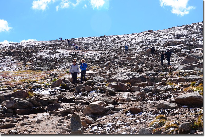
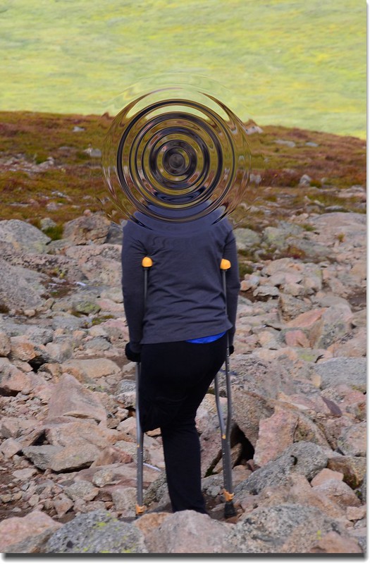
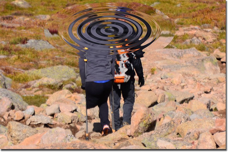
在我將登上Bierstadt西南稜鞍部前不遠處遇到一位拄著拐杖的獨角婦人正要下山,這是今天登山令我最動容的一個畫面~~
A great hiker
他(她)們看似一對夫妻,應該有登頂,一般手腳健全的人登此山都有點累了,而這位婦人看不出疲態,臉上露出的是堅毅、自信的笑容!
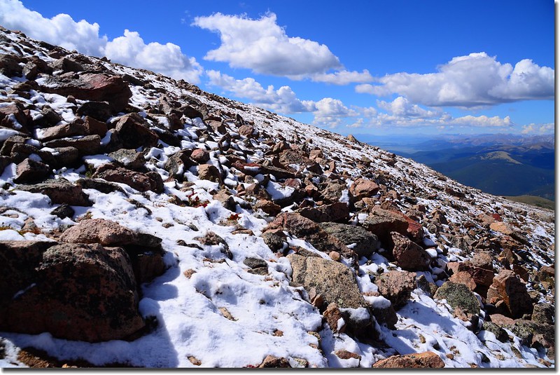
Bierstadt's summit seen from above 13,500’
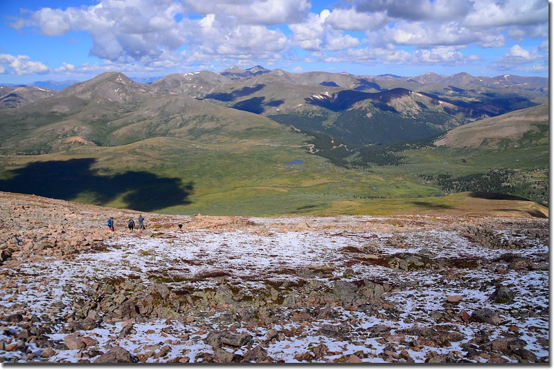
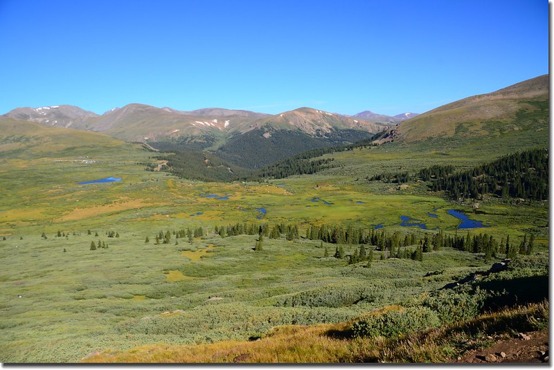
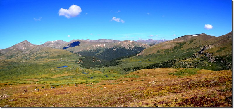
Near 13,800’, looking back down on the Guanella Pass and mountains
11:02爬升到Bierstadt西南稜鞍部,海拔13,800呎/4,206公尺,Bierstadt山頭在東北方,此處距登山口約3.45哩,離山頂大約還要爬升270呎/82公尺;
Looking up the final pitch on the summit ridge
Seen looking SW from the top of the ridge at nearly 13,800'
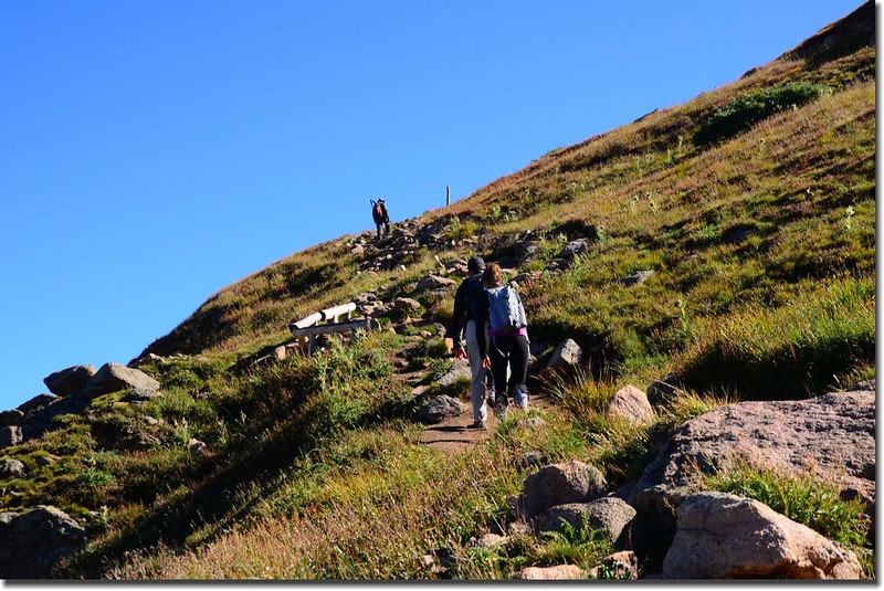
登頂路徑上山、下山的登山客絡繹不絕,喘口氣後開始攻頂,此段路路跡較不明顯,反正抓準方向往上登就對了!
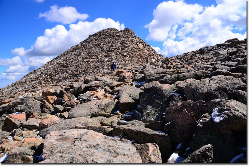
Looking up the final pitch on the summit ridge
11:25登頂Bierstadt,整個山頭都是人潮;
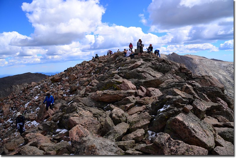
Bierstadt's summit
Mount Beirstadt海拔14,060 呎/4,285 公尺,天氣晴朗雖有蠻多烏雲,山頂展望還算良好。
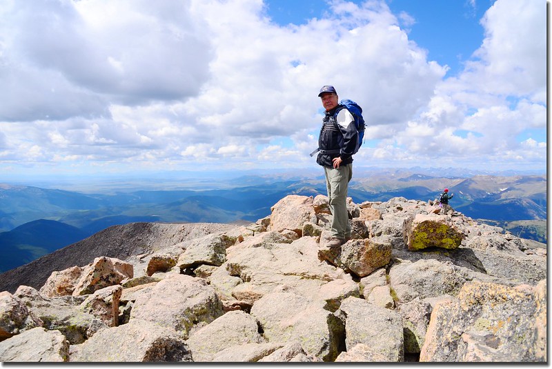

Me on the Bierstadt's summit
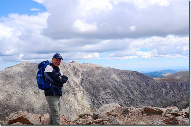
Me on the Bierstadt's summit, with Mount Evans in the background
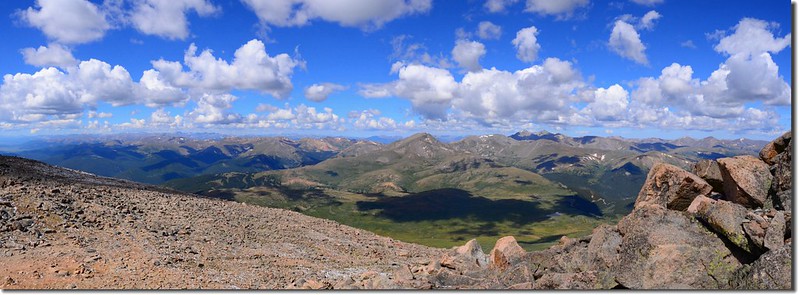
東眺Mount Evans,隔著Abyss Lake 與 Mt Bierstadt 相遙望。
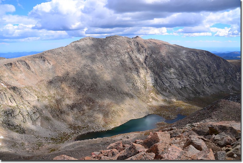
Mt. Evans & Abyss Lake from Bierstadt summit
The east ridge and Point 13,641'
Mount Bierstadt山頂向南可以看到遠在61哩外的另一座14ers-- Pikes Peak(最遠一座)。
Mount Bierstadt山頂北望洛磯山脈,中央最高一座是另一座14ers-- Longs Peak,距離46哩。
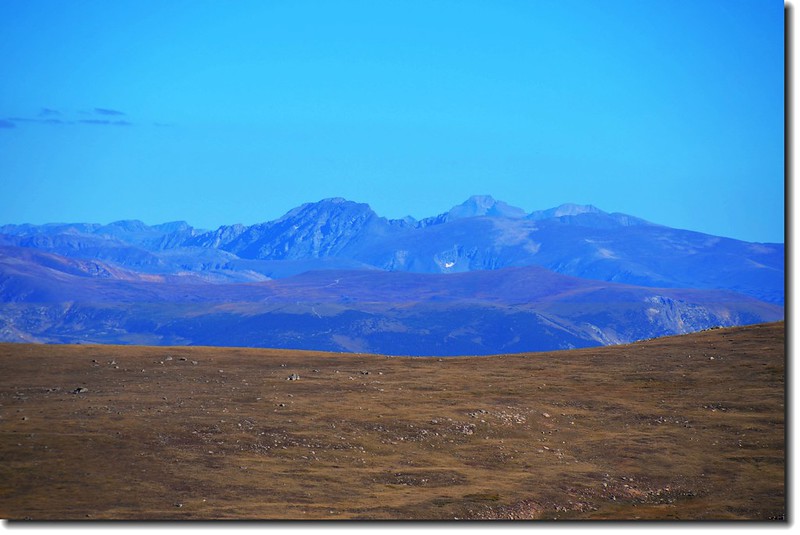
Longs Peak(M) from Mount Bierstadt
Mount Bierstadt山頂之水準點(Bench-mark ,14060 ft.),等同台灣之三角點。
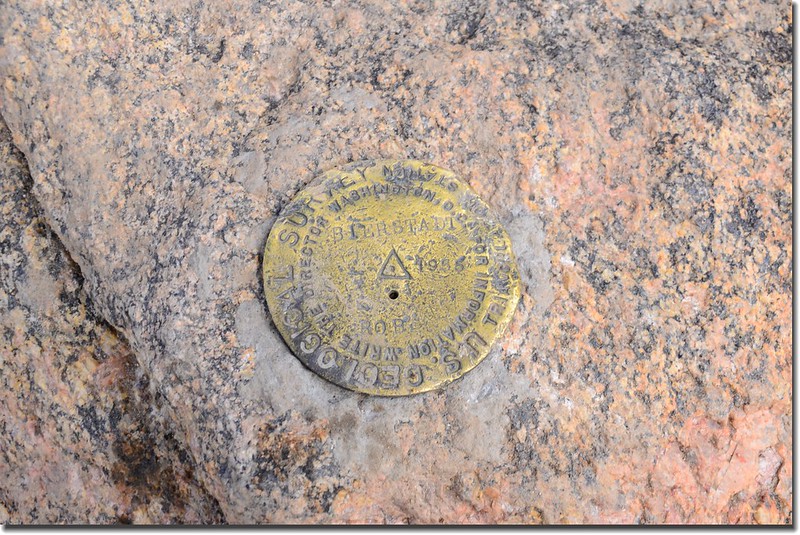
Mount Bierstadt summit marker
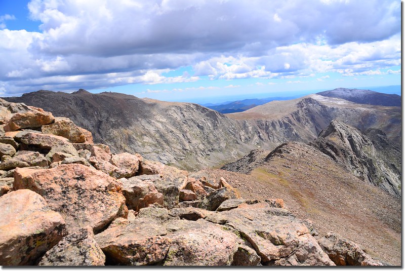
連接Mount Bierstadt和 Mount Evans的山脊稜線Sawtooth. Ridge。
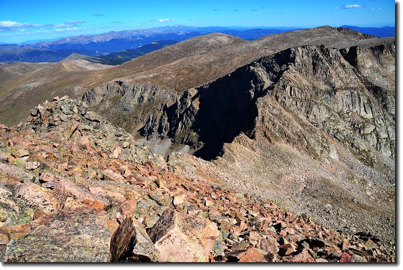
Looking down the Sawtooth from Bierstadt's summit
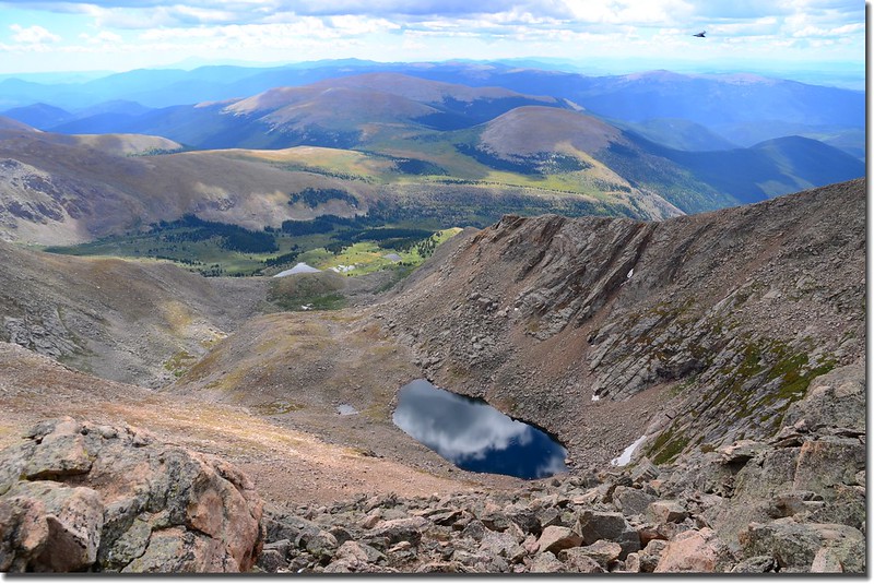
Facing south from Bierstadt's summit, Frozen Lake sits below
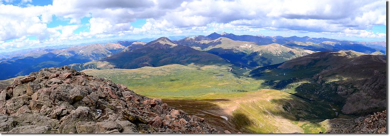
Seen looking West from Bierstadt's summit
12:00 下山。
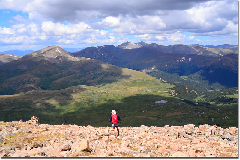
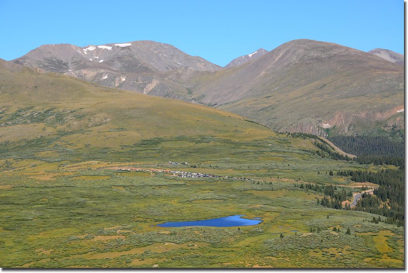
View toward Guanella Pass & parking area
13:55 返抵登山口,開車回家。
我之前此山登山紀錄;
沒有留言:
張貼留言