King and the Bob and Betty lakes form the headwaters of South Fork Middle Boulder Creek
今天帶著貝貝參加品菁女士帶領的華人登山隊去爬Indian Peaks Wilderness範圍內的King Lake,登完King Lake後經領隊同意我再帶著貝貝去攀登Betty Lake和Bob Lake;該兩湖是二度攀登,而King Lake則是我第三度攀登。
King Lake位於落磯山脈Indian Peaks Wilderness大陸分水嶺下方的一處凹地盆地上,和附近的Bob Lake、 Betty lake構成South Fork Middle Boulder Creek的源頭;登山口通往King Lake的步道抵達King Lake後再爬升兩百多呎可直通落磯山脈大陸分水嶺連接High Lonesome Trail。High Lonesome Trail連接King Lake和北邊的Devil’s Thumb Lake,這是一條不錯的“O”形連走路線,四年前曾獨自走過(那天,我漫步在落磯山脈大陸分水嶺上(2013.08.03) )。
---------------------------------------------------------------------------------------------------------
登山口:Hessie Trailhead (約9,000呎/ 2,743公尺)
攀登湖泊:
King Lake:距停車處約6.5哩(10.4公里),海拔11,430呎(3,484公尺)
Betty Lake:距停車處約6.6哩(10.56公里),海拔11,422呎(3,481公尺)
Bob Lake:距停車處約7.1哩(11.36公里),海拔11,570呎(3,527公尺)
大陸分水嶺(High Lonesome Trail )高點:距停車處約6.85哩( 10.96公里),海拔11,657呎( 3,553公尺)
登山里程:約15.7哩(約25.12公里)
總爬升高度:約3,120呎(約951公尺)
登山時間:10小時
---------------------------------------------------------------------------------------------------------
登山口行車資訊:
從家中Thornton出發經 Boulder走119號公路到Nederland後續往南沿CO 119(CO 72,Peak To Peak )走約0.5哩右轉,沿County Road 130往小鎮Eldora,過Eldora後再走約1哩的石子路,左岔往Hessie Trailhead,直行續往Fourth of July Trailhead,今天是女兒開車送我們來登山口,在此下車。
從停車處(County Road 130岔路)到Hessie Trailhead尚有0.5哩的路程,性能好的四傳車可開抵登山口,但大部分的登山客都選擇步行,因路況實在有夠不好!
步程簡述:
我事先已跟領隊品菁女士報告,我和貝貝會先走順道參觀Jasper Creek Waterfalls瀑布群,然後在King Lake和Woodland Lake Trail 岔路口等候他們。
08:45 County Road 130(The Fourth of July Road)岔路口出發,取左往Hessie Trailhead。

Hessie Trailhead & The Fourth of July Road fork
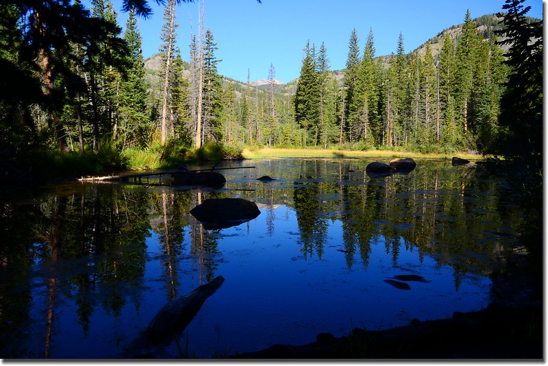
Unnamed pond along the trail
09:00 路過Hessie Townsite遺址,繞道參觀一下。

Hessie townsite
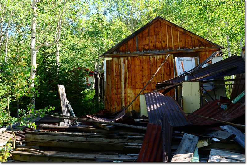
Abandoned Cabin
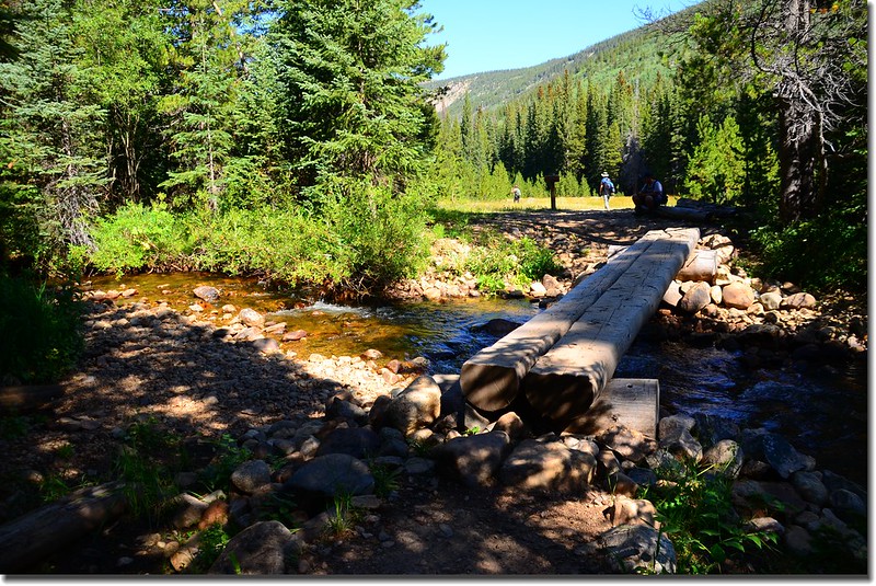
09:05 過Hessie Trailhead前小橋。
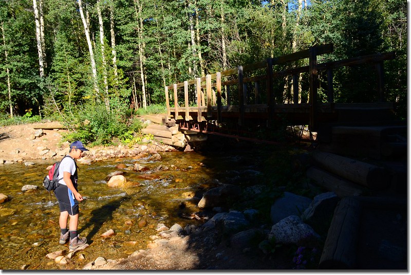
A wooden bridge crossing the creek
09:07 抵達登山口--Hessie Trailhead,距停車處約0.5哩。
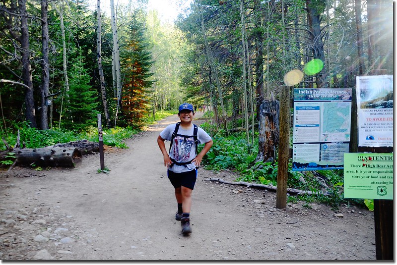
Hessie Trailhead
09:30 經步道左下方Jasper Creek Waterfalls瀑布群,時間應該比其他山友早很多,帶著貝貝下去參觀一下。
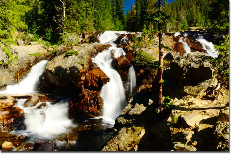
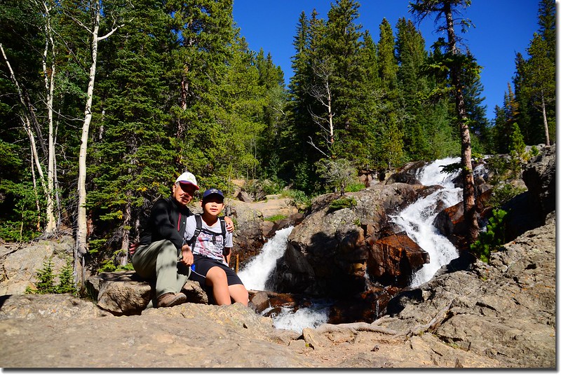
Unnamed waterfull
09:50 離開瀑布群回到步道續行。
09:57 抵達Devil’s Thumb Trail & Devil’s Thumb Bypass Trail 岔路,距停車處約1.5哩,海拔 9,455呎(2,882公尺);
Thumb Trail & Devils Thumb Bypass Trail fork
左岔過橫跨South Fork of Middle Boulder Creek木橋是Devils Thumb Trail,右行直上是Devils Thumb Bypass Trail,取左過小橋。
經小橋跨過South Fork Middle Boulder Creek後即沿著South Fork Middle Boulder Creek左岸上行,一路是一層層的小瀑,伴隨著轟隆隆的流水聲。
10:09 抵達Lost Lake Trail junction,距停車處約1.75哩,海拔 9, 582呎(2,921公尺);左上再行十幾分鐘約0.25哩可抵Lost Lake;取右直行往King Lake、Woodland Lake。
10:14 過一小橋後抵達King Lake和Woodland Lake Trail 的岔路;
A log bridge crosses the creek
這是一片大草原,可遠眺Devil’s Thumb Pass,此處距停車處約1.95哩,海拔9,600呎(2,926公尺);在此等候其他山友。
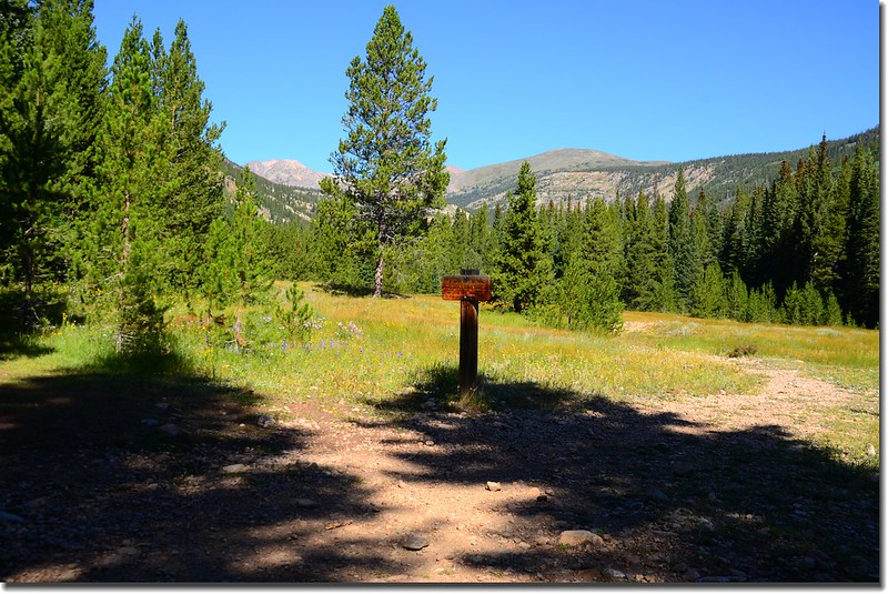
King Lake & Woodland Lake Trail fork
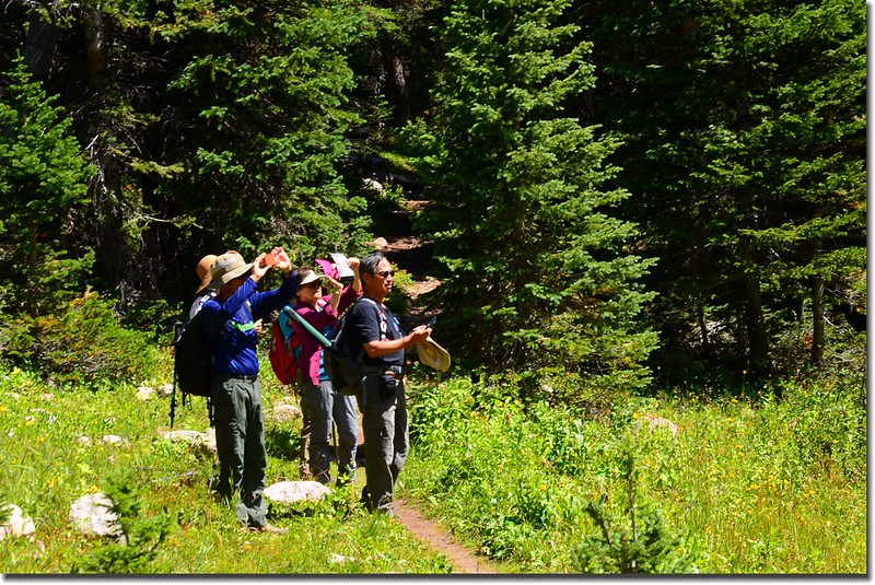
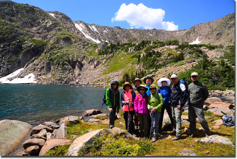
10:45 領隊品菁女士一行八位山友抵達岔路口,簡單寒暄後取左岔往King Lake Trail上行,行約幾百公尺後即進入Indian Peaks Wilderness範圍。
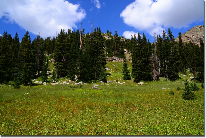
從King Lake與Woodland Lake Trail 岔路起約有2.5哩的步道大都在Woodland Mountain南側坡的松林間緩升,兩旁野花已進入尾聲,盛開期應是在七月份;
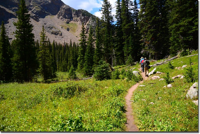
King Lake Trail
South Fork of Middle Boulder Creek潺潺流水聲不絕於耳,松林透空處可窺見壯麗的山景。

Mountain view along the King Lake Trail
11:57 南側山脊頂部可看見舊鐵路支架遺跡,那是早期Moffat railroad的遺址,該條鐵路是早期輸運丹佛遊客前往Winter Park的主要交通工具,當年Moffat Tunnel還沒有開通;在該鐵路的再上端即是Rollins Pass,你有高性能的越野車即可由Rollinsville開著車經由Rollins Pass直接開上Continental Divide。

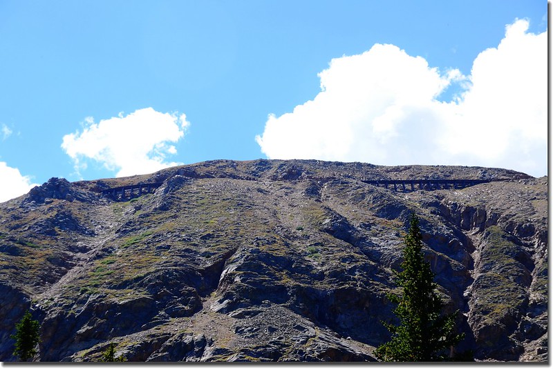
A historic railroad trestle on the Rollins Pass
12:33 步道開始“之”字形爬升,這是此步道較陡峭的一段,距停車處約5.85 哩,海拔約10,904呎(3,324公尺);幾分鐘後上抵山脊平台。
12:45 抵達King Lake和Betty and Bob Lakes岔路,此處距停車處約6.1哩,海拔約11,108'呎(3,386公尺);

King Lake Trail & Bob Lake Trail fork
右往Betty Lake and Bob Lake,資料記載Betty Lake約 0.5哩、Bob Lake約1哩;取左往King Lake。
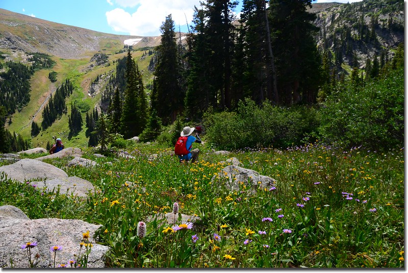
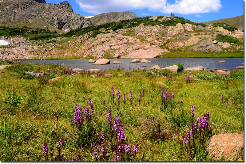
Wildflowers along the trail
離開岔路後隨即遇到一小溪,找一處有石頭處踏石而過,山徑又開始爬升。
Continental Divide seen from above 11,100’King Lake below
13:01 右側一條不很明顯的岔路通往一無名小湖,小湖距步道約一兩分鐘的路程。此處距停車處約6.35哩,海拔約11,339呎(3,456公尺)。
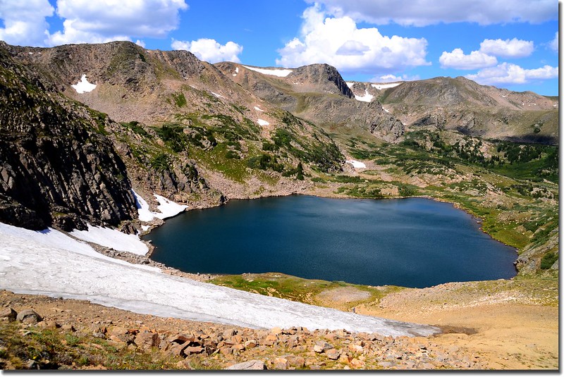
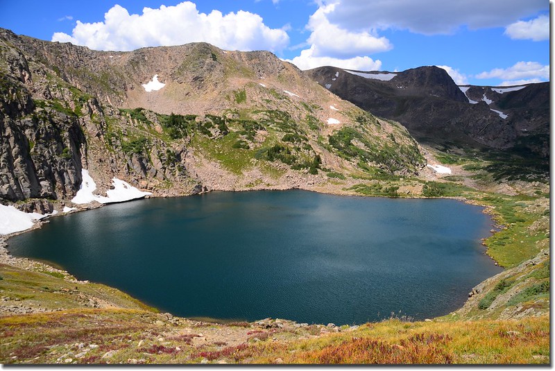
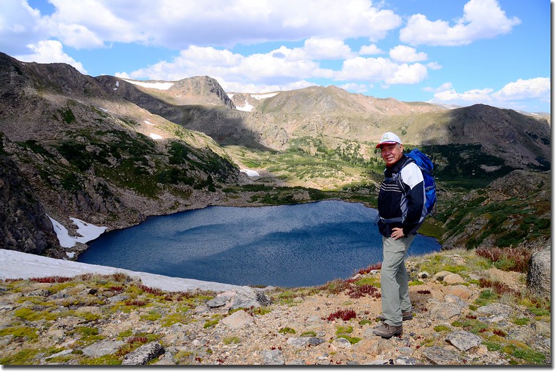
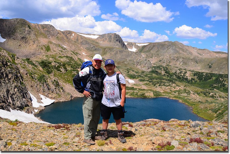
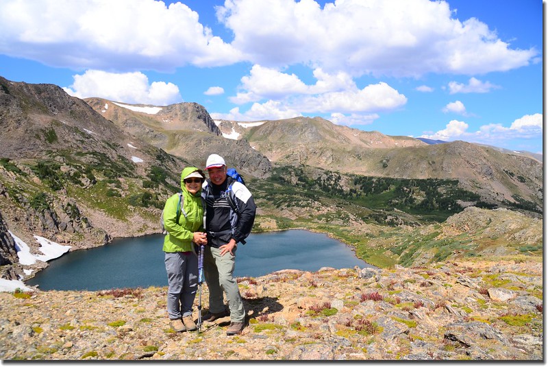
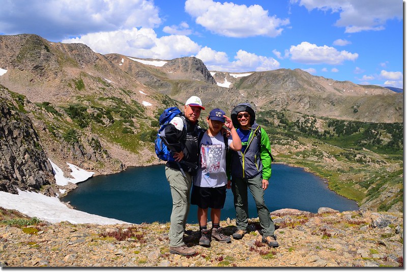
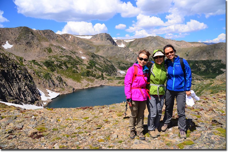
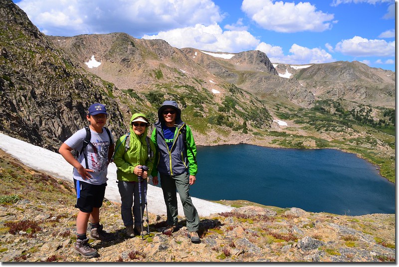
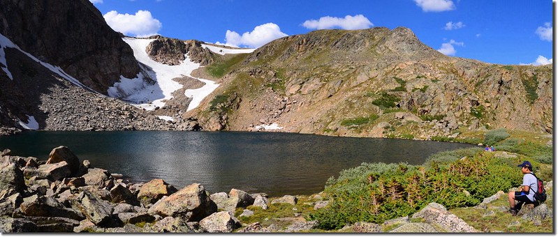
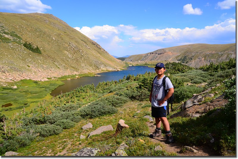
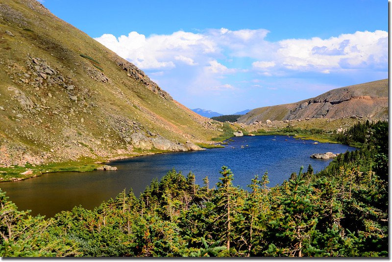
13:07 登抵King Lake,距停車處約6.5哩,海拔11,430呎(3,484公尺)。
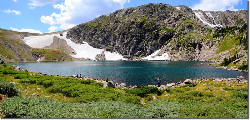
King Lake
King Lake
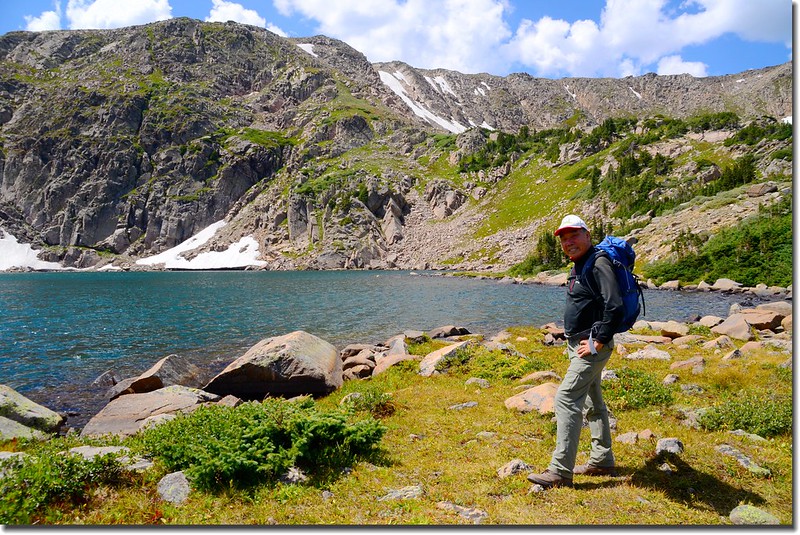
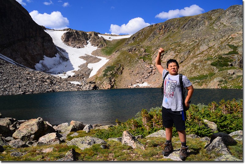
我們在湖邊用餐點,今天湖邊風蠻大的,小休片刻後有人提議續上大陸分水嶺(Continental Divide)。
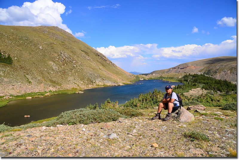
13:38 離開King Lake,由King Lake南岸繞過直上湖後的大陸分水嶺,此路徑約0.35哩,爬升約兩百多呎。
King Lake
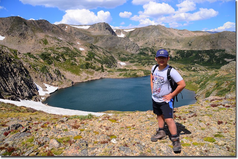
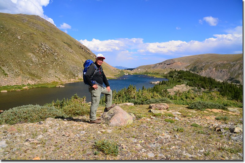
13:50 登上King Lake後方的落磯山脈大陸分水嶺,距停車處約6.85哩,海拔11,657呎(3,553公尺)。

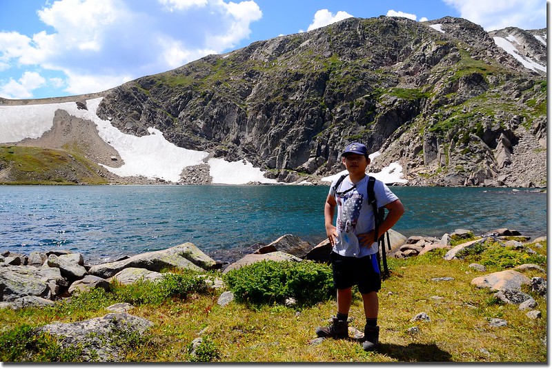
Jacob on the Continental Divide
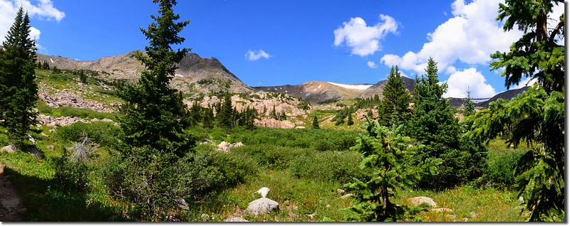
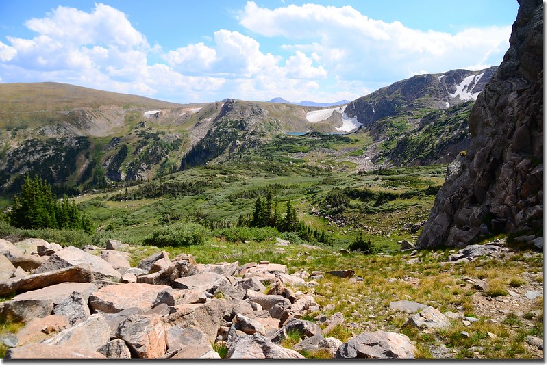
站在大陸分水嶺上是一片寬廣的苔原,視野無限!此處西邊是Winter Park方向,東邊則是早上上山的Nederland方向;苔原南接Rollins Pass,那是一條可開高性能四傳車上山的古道;苔原往北沿分水嶺稜線即是High Lonesome Trail,沿著High Lonesome Trail北行約2.5哩即可銜接Devil’s Thumb Trail,然後經Devil’s Thumb Lake、Jasper Lake下山,形成一個“O”形連走,該路線四年前曾走過。
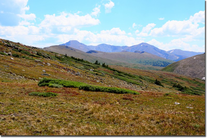
Looking southwest from Continental Divide at James Peak et al.
Looking down at King Lake from the Continental Divide
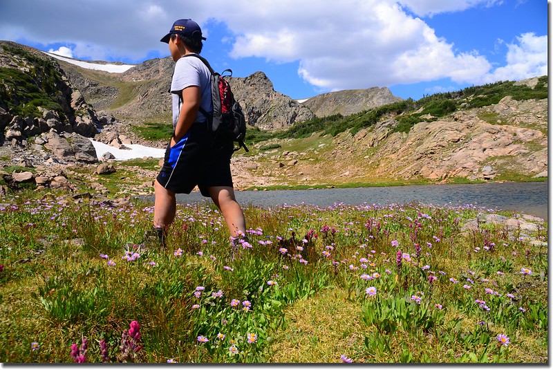
14:16 在分水嶺上稍作停留後循原路下山,其他山友再到湖邊小逛後下山,我則帶著貝貝前往Bob Lake和Betty Lake。
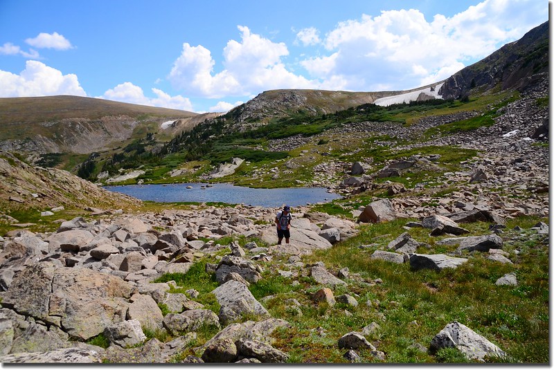
我先在分水嶺上觀察往Bob Lake的地形,認為可以經由King Lake下方的無名小潭往北直切上Bob Lake,地形並不複雜,遠看都是岩石坡及一種當地叫作willow的矮灌木叢,如此就不必沿原路下降到King Lake和Betty and Bob Lakes岔路,應該會省點時間,決定好後隨即前往King Lake下方的無名小潭。
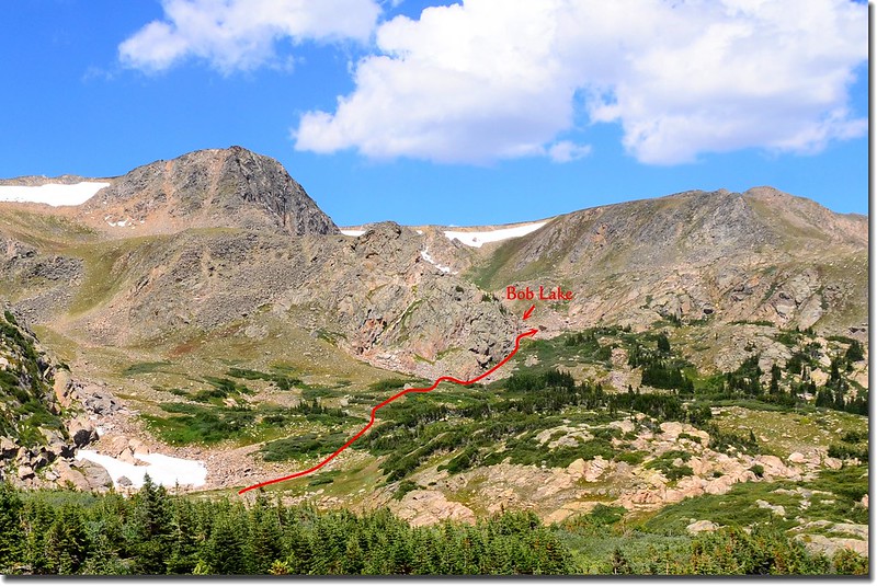
The route from King Lake to Bob Lake
14:37 經過King Lake再下行約0.15哩後左轉岔路抵達一無名小潭,湖水不多,湖岸野花倒還盛開著;
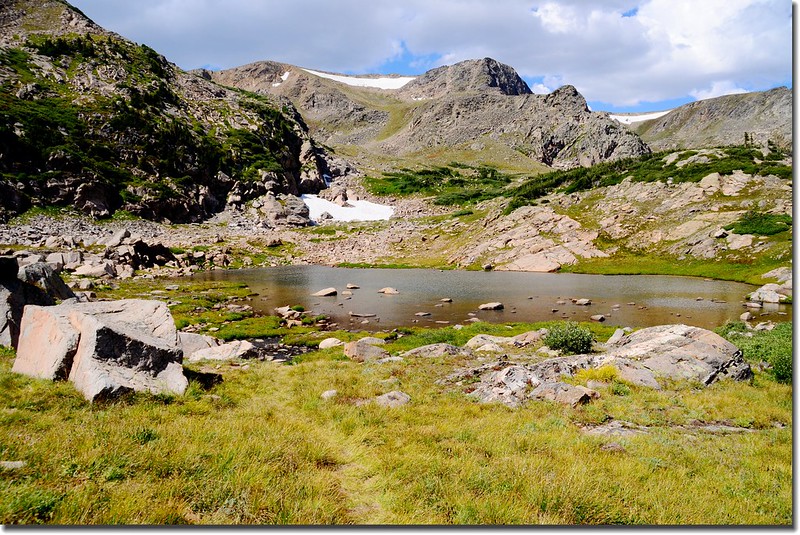
Unnamed pond below King Lake
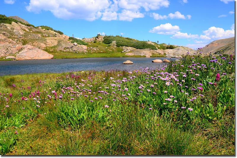
Wildflowers surrounding the unnamed pond
阿公,你在拍我嗎?
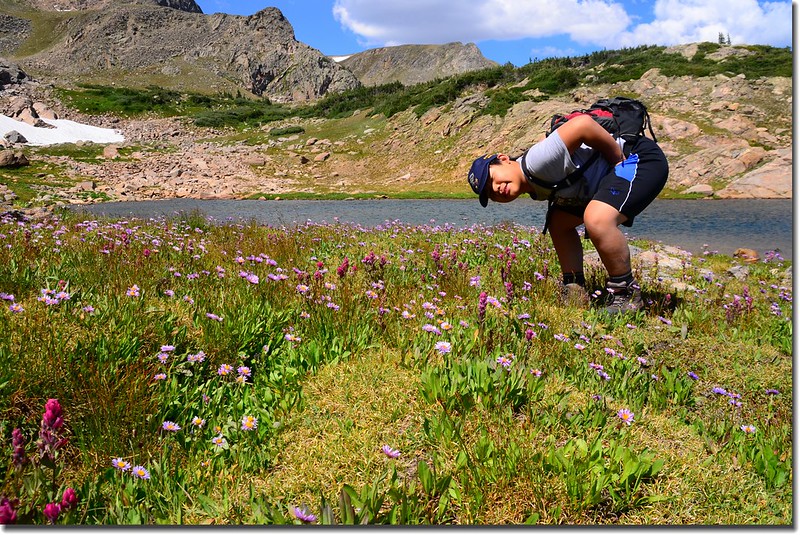
在此再詳細觀察往Bob Lake的預定路線後從想談的北岸往北上切。
一路就在大岩石坡及willow矮灌木叢間穿梭攀爬,貝貝亦步亦趨的跟著我前行,由於視線開闊,隨時修正最理想路徑,走來並不困難。
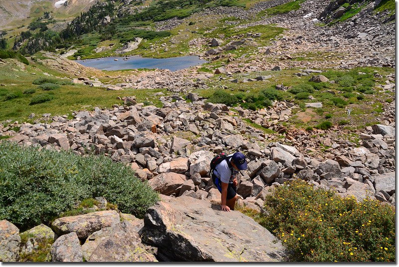
Travel moderates through open rock field and willow grove above the unnamed pool
Looking south at King Lake from near Bob Lake
Close look at King Lake from near Bob Lake
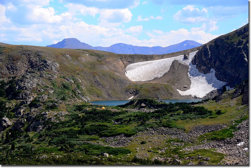
15:32 抵達Bob Lake,Bob Lake海拔11,570呎(3,527公尺),距停車處約7.1哩;

Bob Lake
此湖四年前已來過,在Bob Lake湖岸東南俯瞰下方的Betty Lake很美;

Overlook Betty Lake from Bob Lake below, with Rollins Pass in the distance
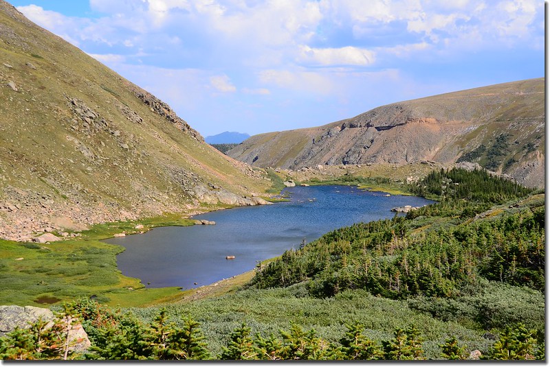
Overlook Betty Lake from Bob Lake
湖岸小休後沿著小徑下山。
Looking down at Betty Lake from Bob Lake below
Taken from Betty Lake above
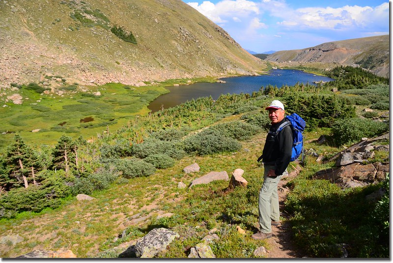
15:57 經過Betty Lake,Betty Lake海拔11,422呎(3,481公尺),距停車處約6.6哩;Betty Lake還是由Bob Lake往下俯瞰比較美也比較壯觀,站在湖邊看只不過是爾爾;繼續沿著小徑下山。
Looking down at Betty Lake from Bob Lake below
16:19 回到King Lake與 Betty and Bob Lakes岔路,取左下山。
17:48 返抵King Lake和Woodland Lake Trail 的岔路,小休後再行。
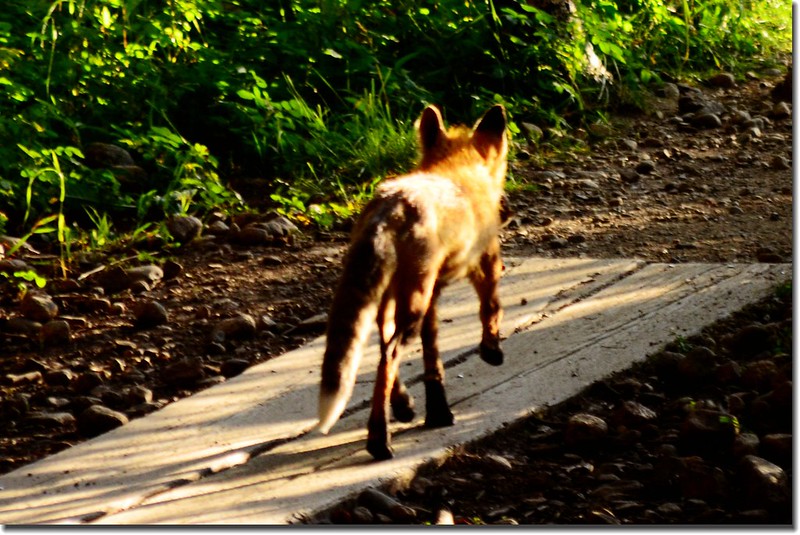
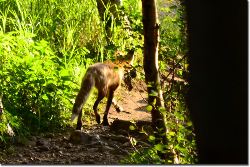
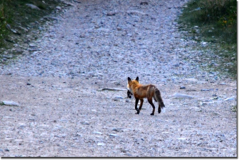
在將抵停車岔路時一隻狐狸由路旁經過,口中叼著一隻牠的獵物,不急不徐的準備找個地方享用牠的晚餐了!
18:45 回到Hessie Trailhead和往Fourth of July Trailhead的岔路口,女兒已在此等候多時,今天走了約25公里,費時10小時,祖孫倆都有點累了,快速搭車回家。
沒有留言:
張貼留言