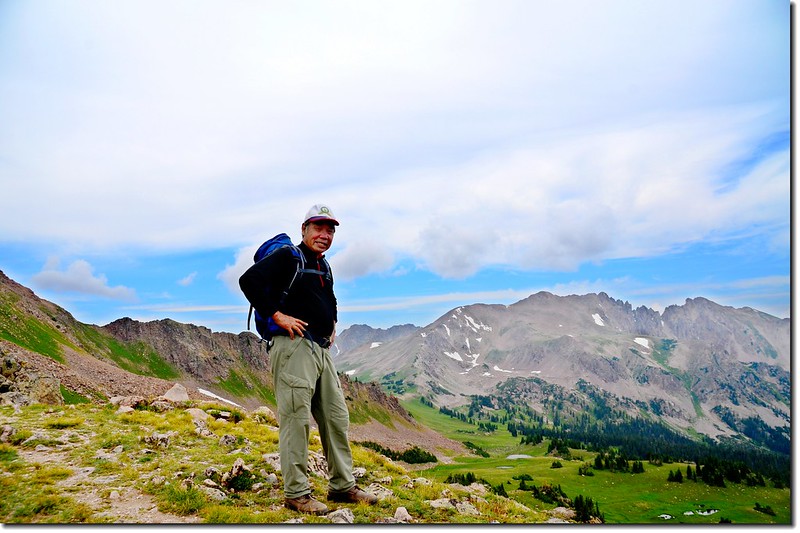
Taken from Eccles Pass
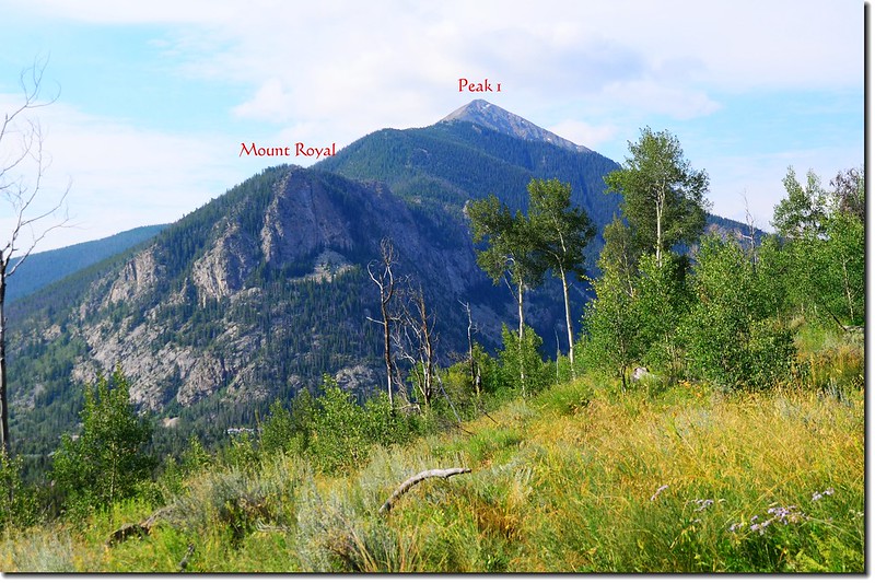
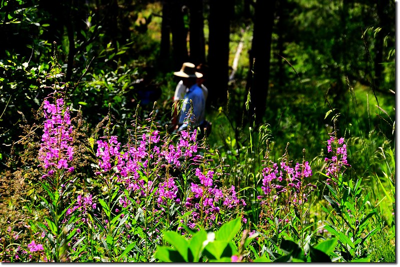
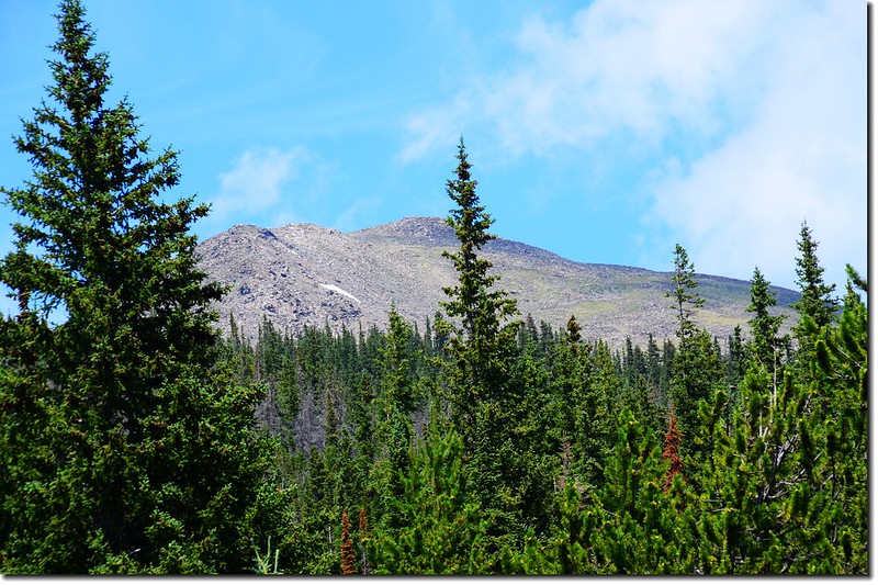
今天隨同華人登山隊去Frisco附近的Meadow Creek trail登上Eccles Pass登山健行,同行山友一共13人;Eccles Pass地處Frisco City北邊的Eagles Nest Wilderness範圍內,橫跨Meadow Creek流域(南)和South Willow Creek盆地(北)之間的分界線,站在Eccles Pass高點Gore Range和Tenmile Range一覽無遺。
------------------------------------------------------------------------------------------------------
登山步道:Meadow Creek trail to Eccles Pass
登山口:Meadow Creek Trailhead (海拔9,157呎/2,791公尺)
Eccles Pass:海拔11,918呎/3,633公尺
登山里程:來回10.25哩(16.4公里)
總爬升高度:2,921呎/890公尺
登山時間:5小時50分
------------------------------------------------------------------------------------------------------
行車資訊:
由Golden沿I-70州際公路西行,行約57.4哩後於Exit 203出口 (CO-9 S出口) 下交流道,朝Frisco/Breckenridge前進,0.2英里後從圓環的第二個出口(Trail)出去,朝Co Rd 1231石子路行駛,石子路行駛0.6哩抵登山口停車場。
步程簡述:
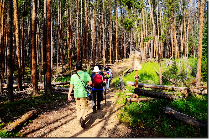
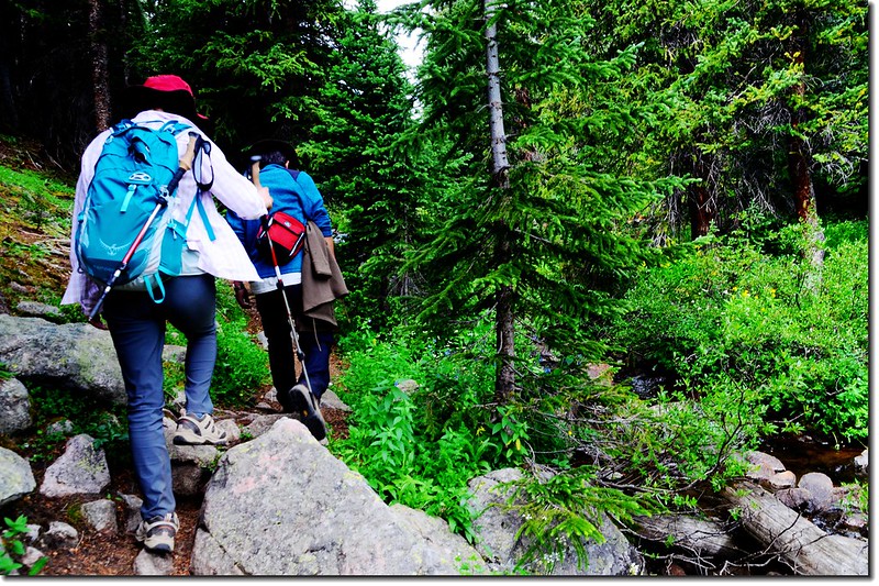
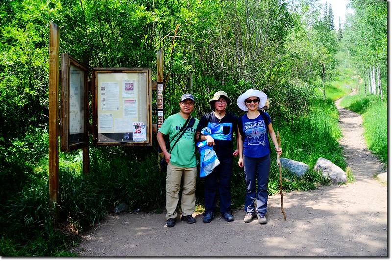
09:05 登山口出發,海拔9,157呎(2,791公尺);
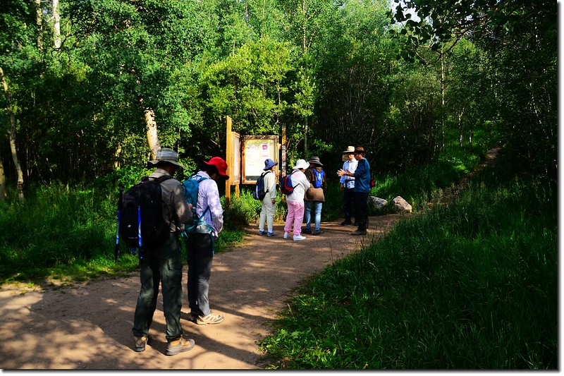
The Meadow Creek Trailhead
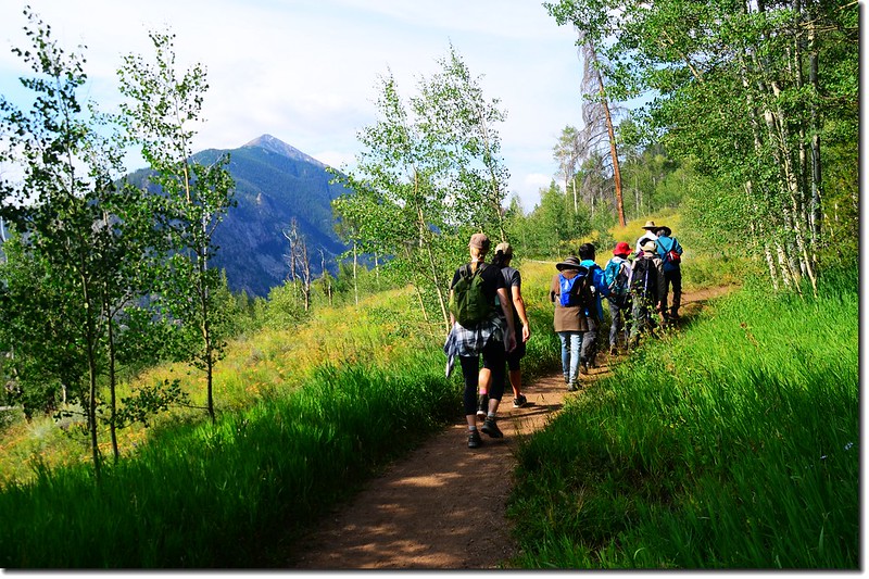
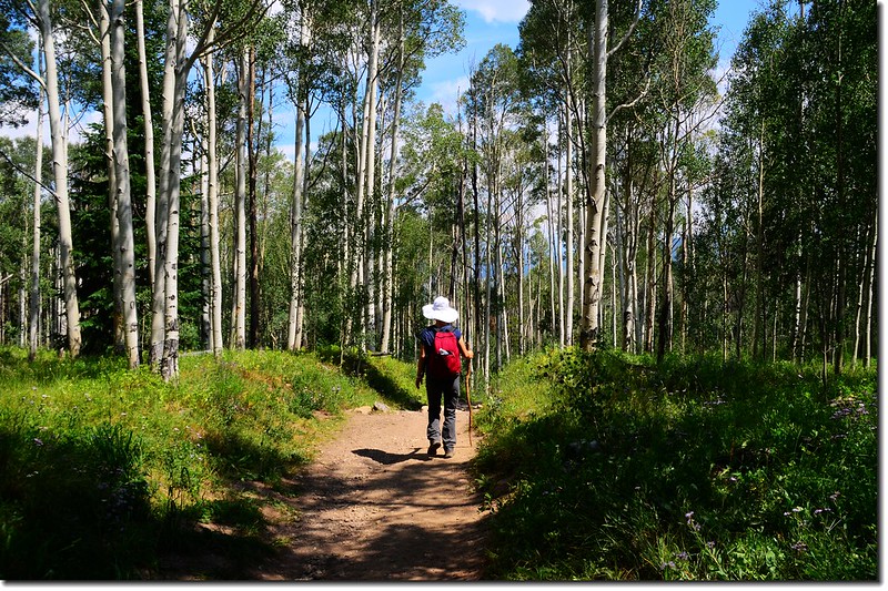
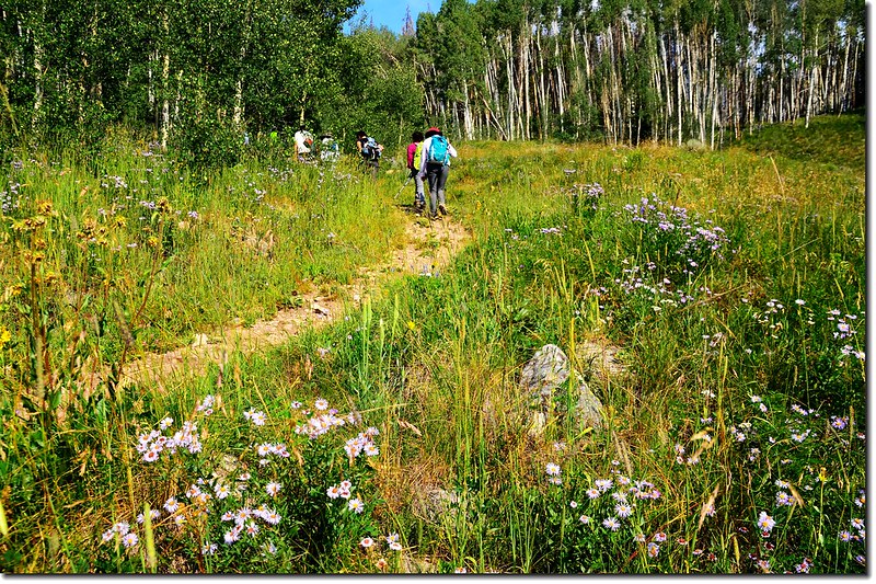
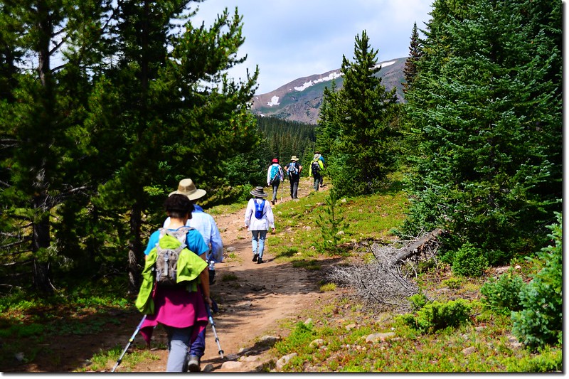
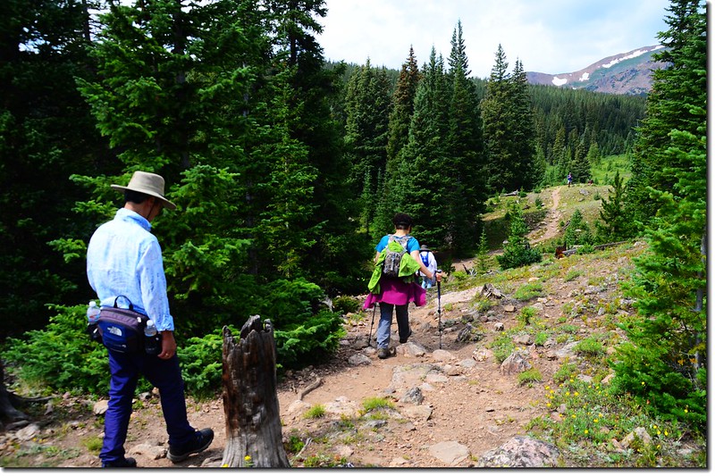
一開始登山小徑有點陡,朝著前方白楊木林(Aspen)前進;步道陡上一段後有一段緩衝的平路,不久進入白楊木林間行走。
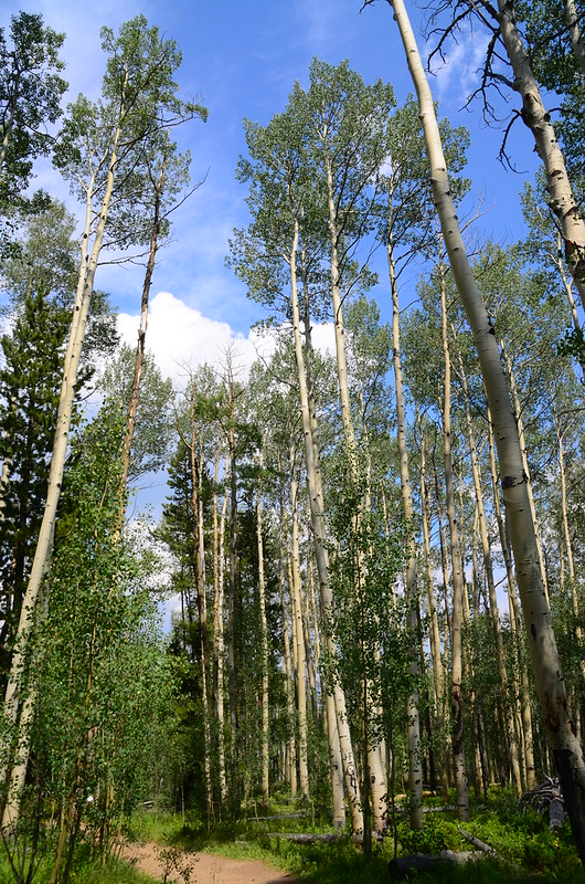
The Meadow Creek Trail winds through an aspen forest
The Meadow Creek Trail
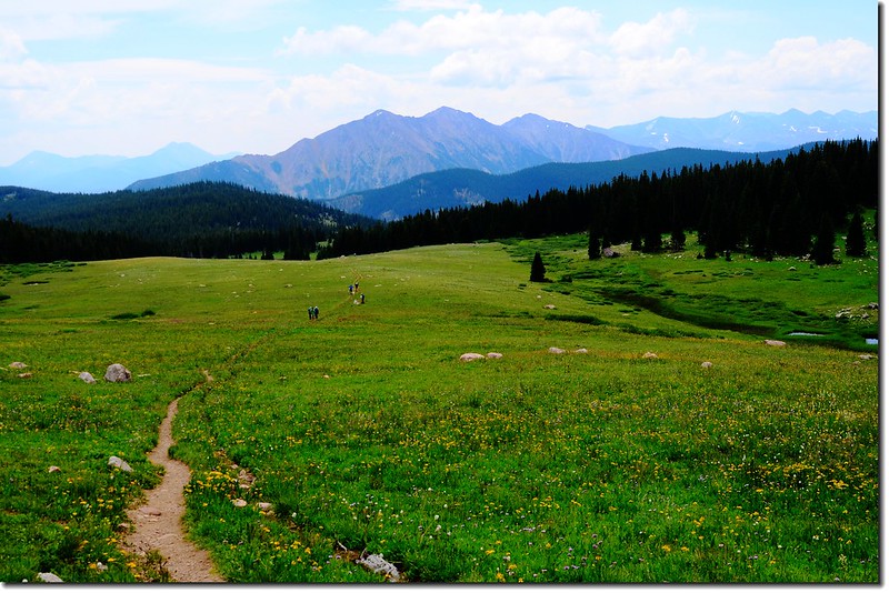
Meadow Creek trail looking South at Tenmile Range
The Meadow Creek Trail winds through an aspen forest
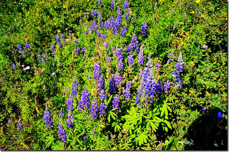
Arroyo Lupine
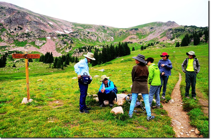
09:33 抵達Lily Pad Lake Trail岔路,右岔往Lily Pad Lake,距離約一哩左右;
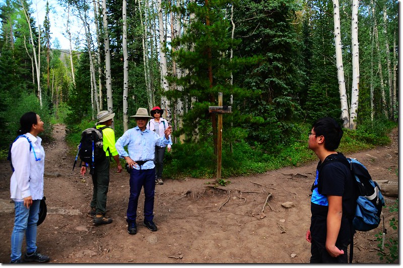
Meadow Creek Trail & Lilly Pad Lake Trail fork
此處海拔約9,560呎(2,914公尺),距登山口約0.57哩,取左續走Meadow Creek Trail。
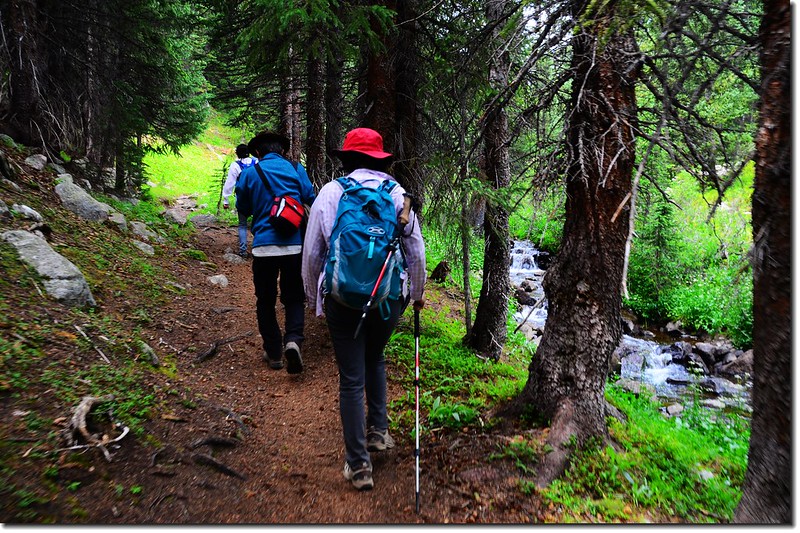
09:37 進入Eagles Nest Wilderness範圍,之後步道兩旁是筆直的lodgepole松林。
Entering Eagles Nest Wilderness area
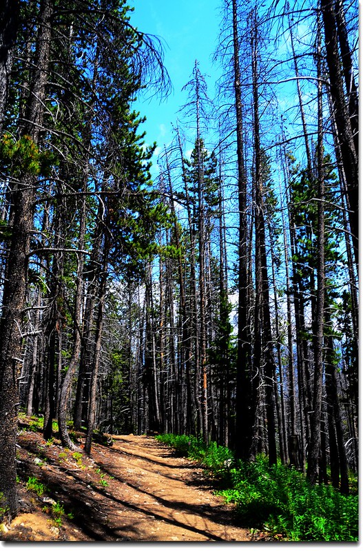
The Meadow Creek Trail winds through a pine forest
09:41 步道右側一片草原坡,可俯瞰山下的Frisco City和Dillon Reservoir;之後步道又進入lodgepole松林中穿行。
The Meadow Creek Trail
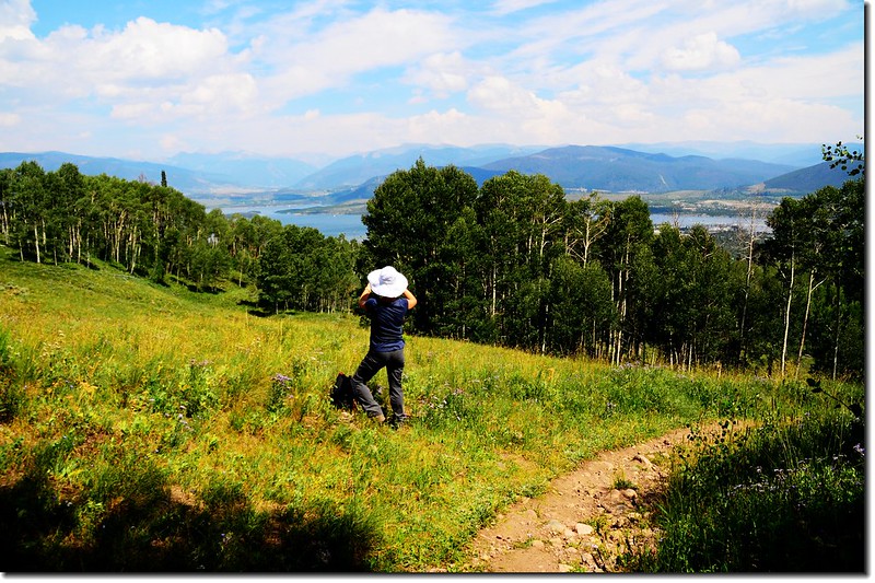
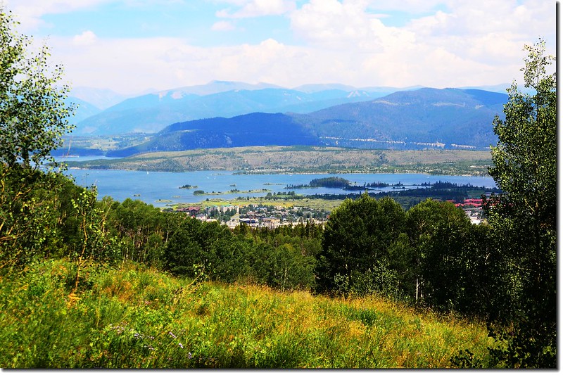
Looking down Dillon Reservoir & Frisco City from Meadow Creek Trail
09:46 來到一泥沼地,上鋪木板棧道以利通行。
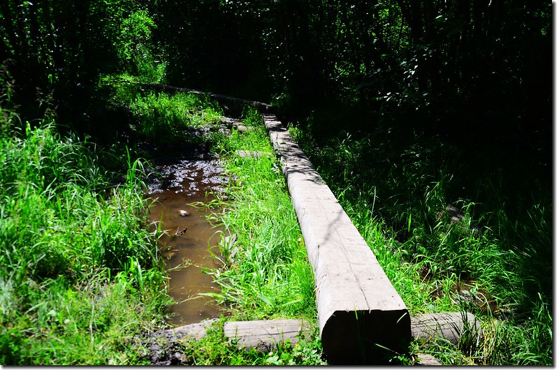
Wooden bridges on the muddy sections
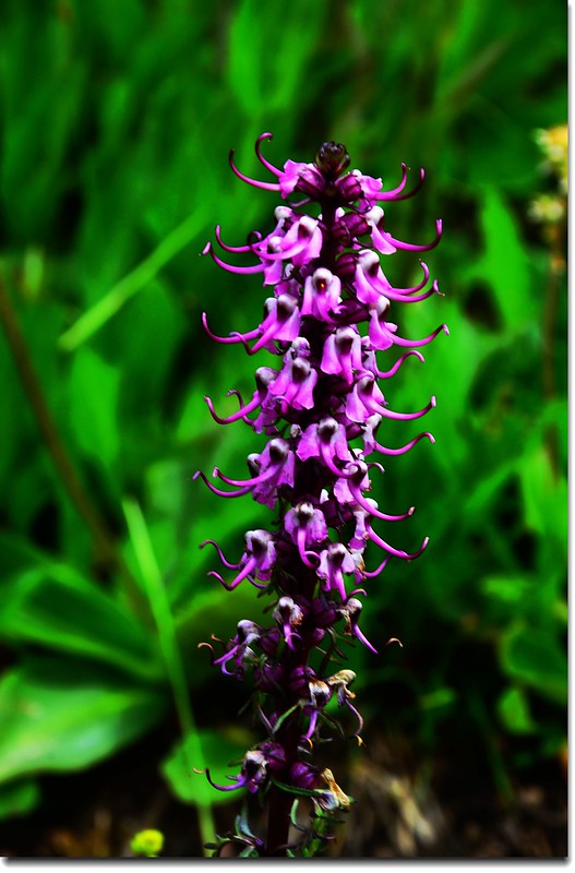
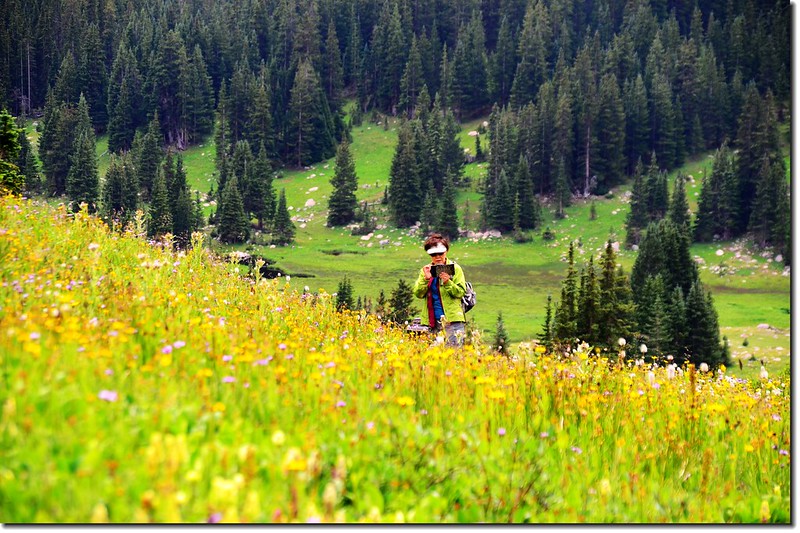
Wildflowers blooming along the trail
10:00 第一度橫跨Meadow Creek,溪上已兩根原木作為橋樑,此處海拔約10,036呎(3,059公尺),距登山口約1.35哩。
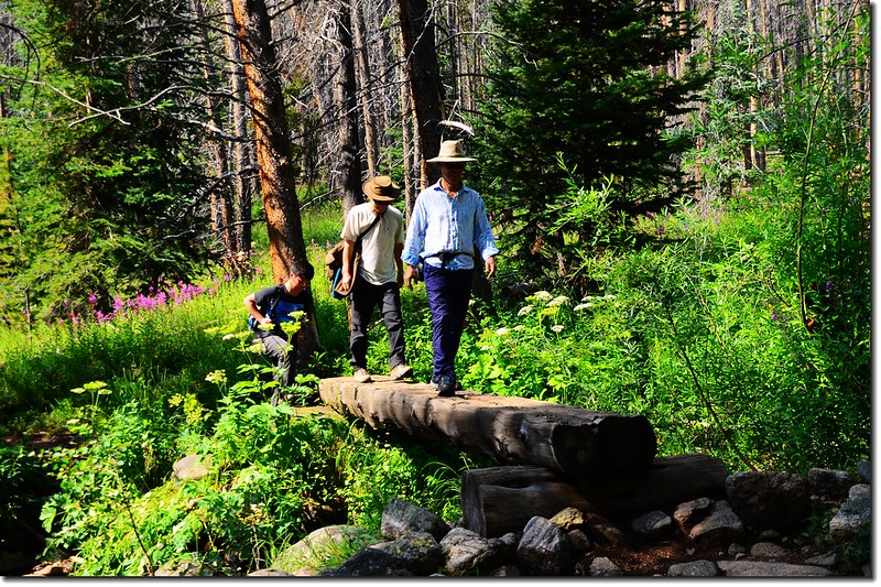
Crossing log bridge at Meadow Creek
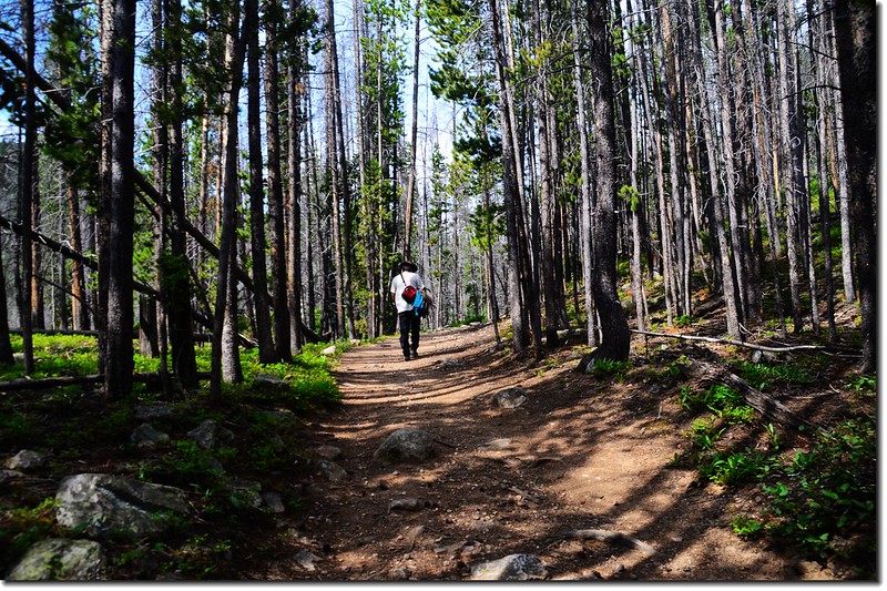
越過Meadow Creek後隨即左彎上山,除一小段粗糙石子路外步道恢復穩定和緩爬升,兩旁筆直的松林罹病蟲害乾枯的很多,感覺有點淒涼。
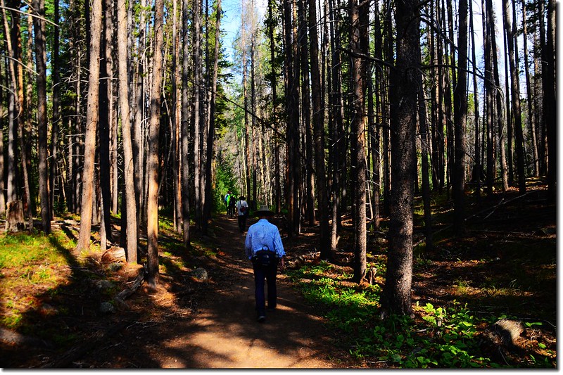
The Meadow Creek Trail winds through a pine forest
10:25 步道左側一小凹地Oregon daisy和paintbrush flower野花遍開,煞是美麗!
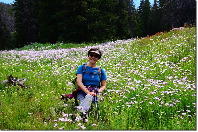
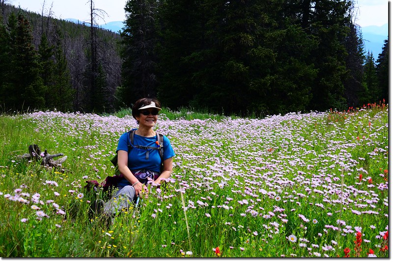
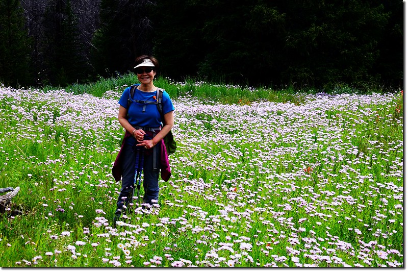
Wildflowers blooming along the trail
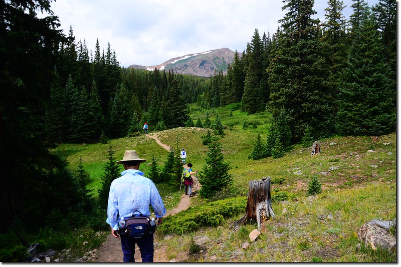
10:50 小徑爬升到一開闊高點,可瞥見河谷上游及附近山頭,此處海拔約10,835呎(3,303公尺),距登山口約2.65哩。
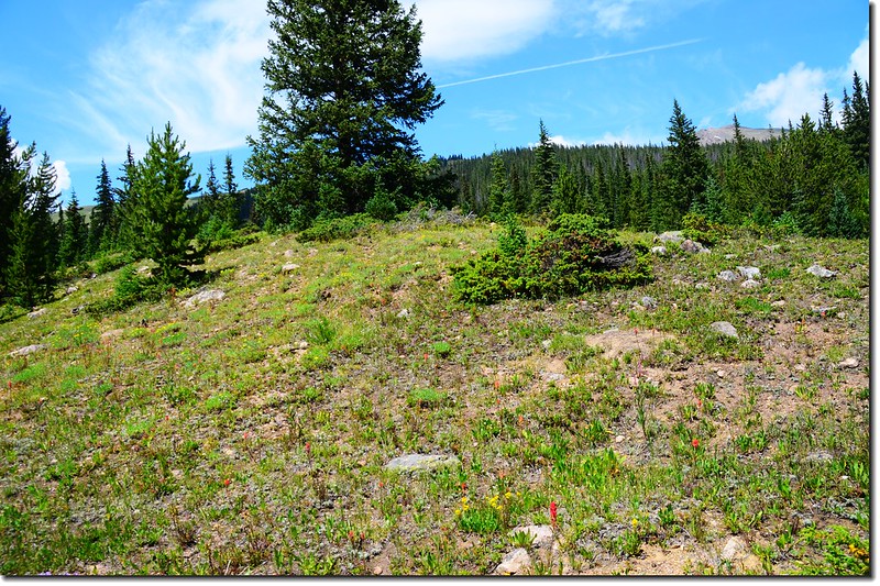
The forest briefly opens with a glimpse of the upper valley
The Meadow Creek Trail
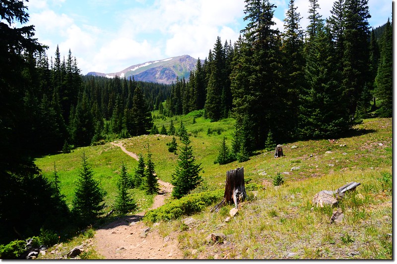
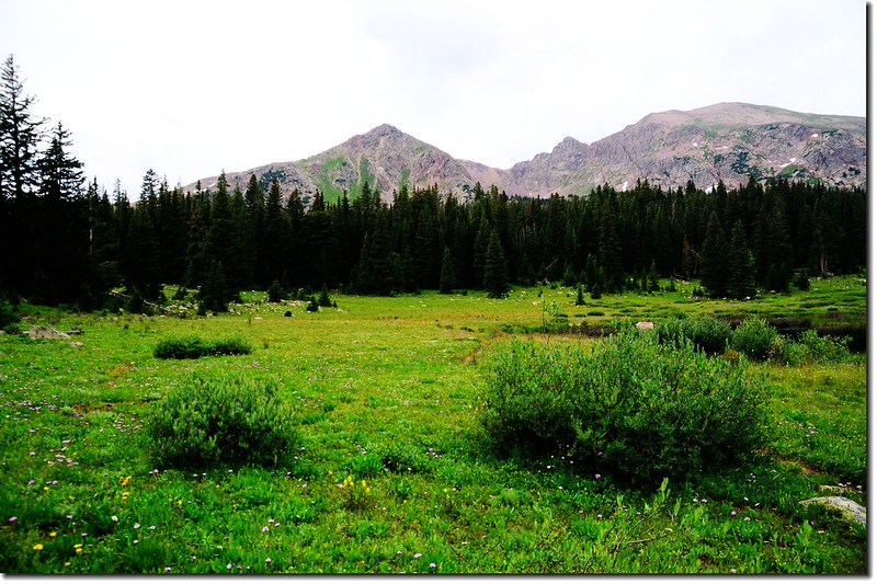
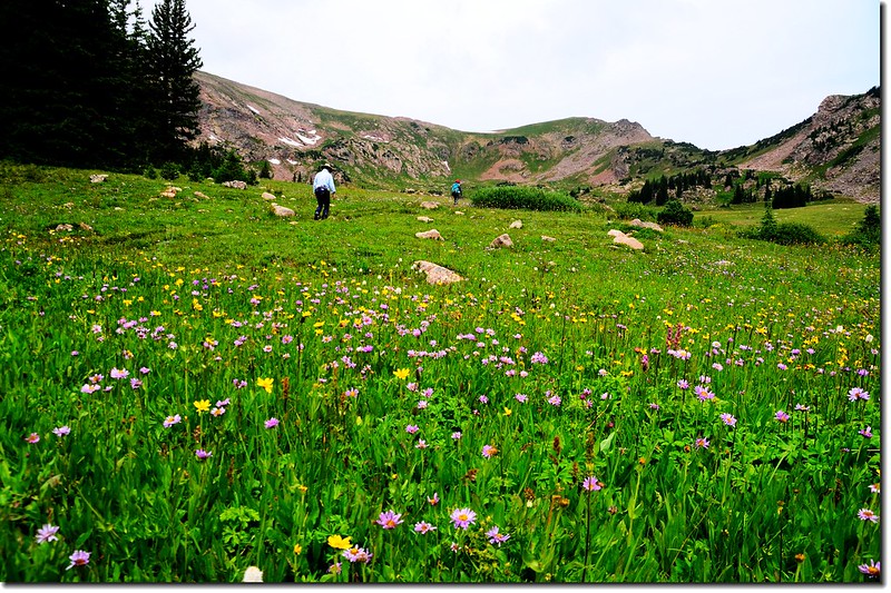
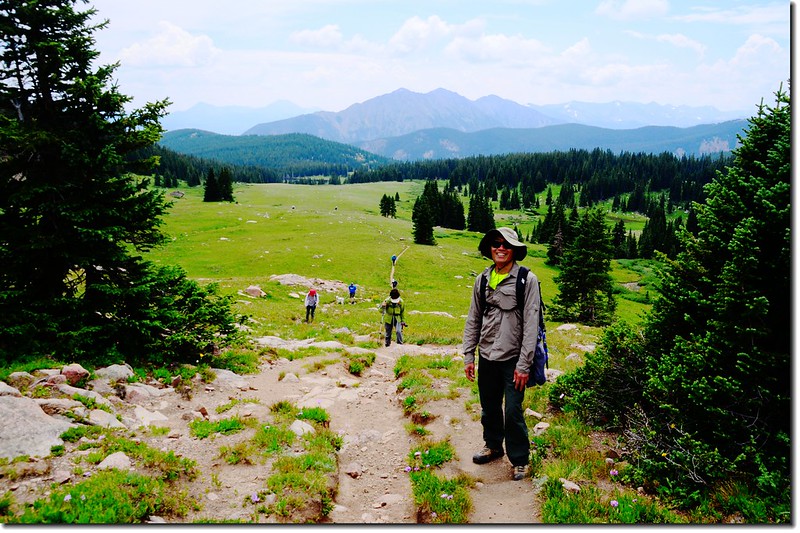
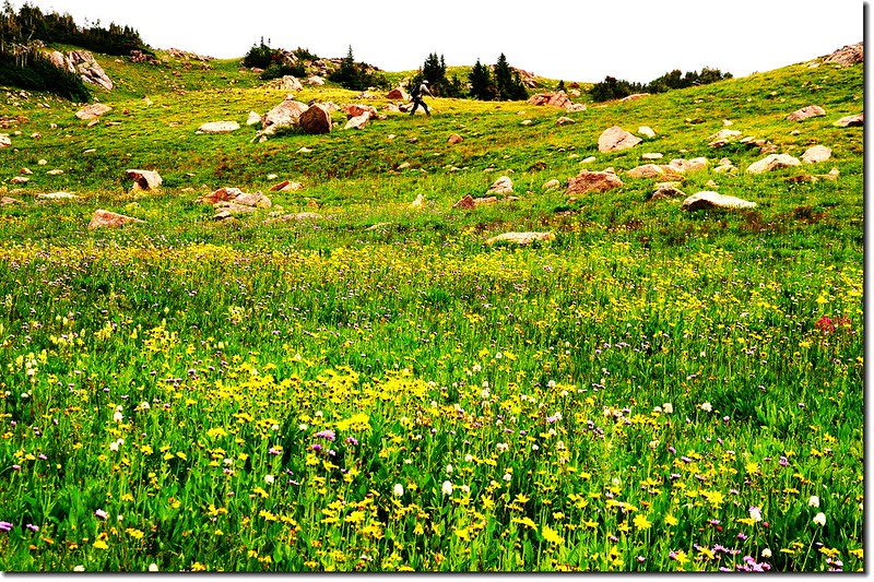
11:05 經過約0.3哩的石頭空地及小徑來到記錄中所記載的第一處開闊草原,草原不大且夾雜著松林,看不出是大片草原;此處海拔約10,988呎(3,349公尺),距登山口約2.95哩。
The first of several meadows that provide a welcome break to the dark forest
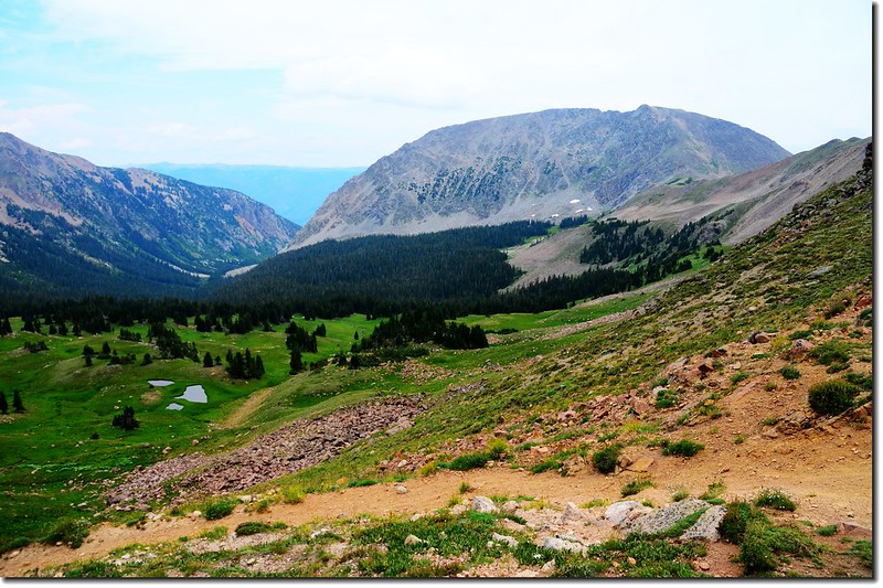
Chief Mountain from the trail
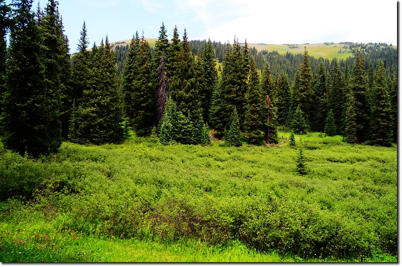
The first of several meadows that provide a welcome break to the dark forest.
接著在草原中幾次起伏後下到小溪邊。
The Meadow Creek Trail
11:09 第二度橫跨Meadow Creek,溪上用三根倒木作為跨溪便橋,此處海拔約10,950呎(3,338公尺),距登山口約3.1哩;
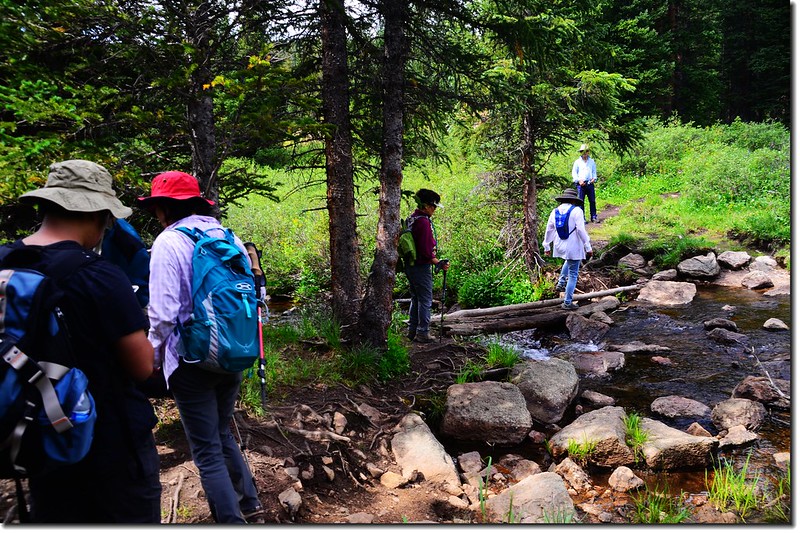
Crossing Meadow Creek on a makeshift bridge
橫跨小溪前有一左岔路通往一小潭,紀錄記載此小潭適合釣魚。
渡過Meadow Creek後路右出現大片willow灌木叢;
Willow Grove along the trail
過了willow灌木叢後小徑沿著溪畔上行,此段路有點狹小難走。
The Meadow Creek Trail
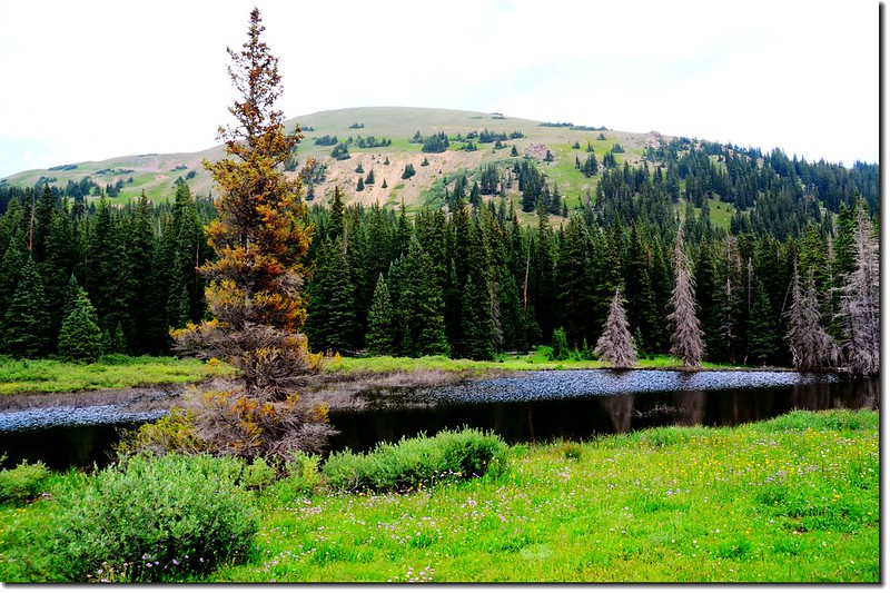
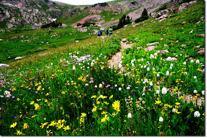
11:25 來到記錄上的第二處大草原,此處海拔約11,128呎(3,392公尺),距登山口約3.6哩;
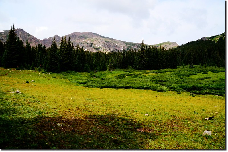
The second meadow with a revealing look at the entire upper valley
此處已稍可見整個河谷的上端,海拔11,377呎的Chief Mountain就在正前南方,而Eccles Pass 則在西北方的稜線上。
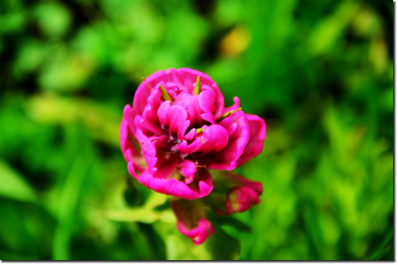
Elephant Head Flower
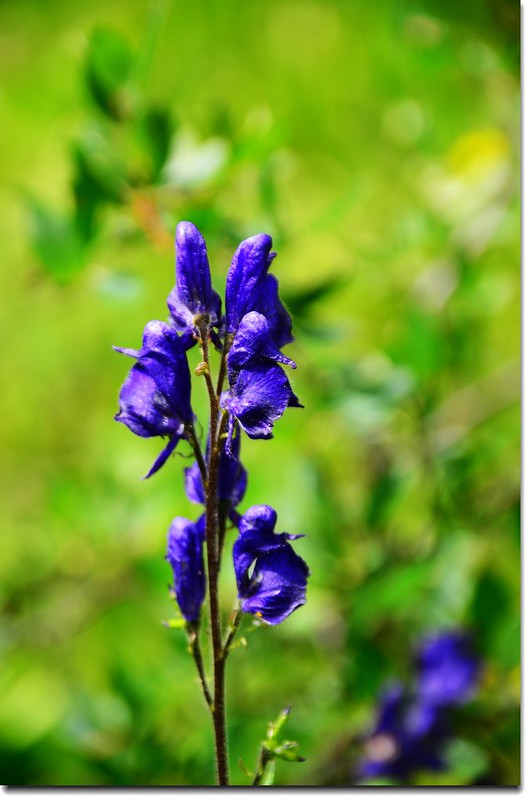
Monkshood flower
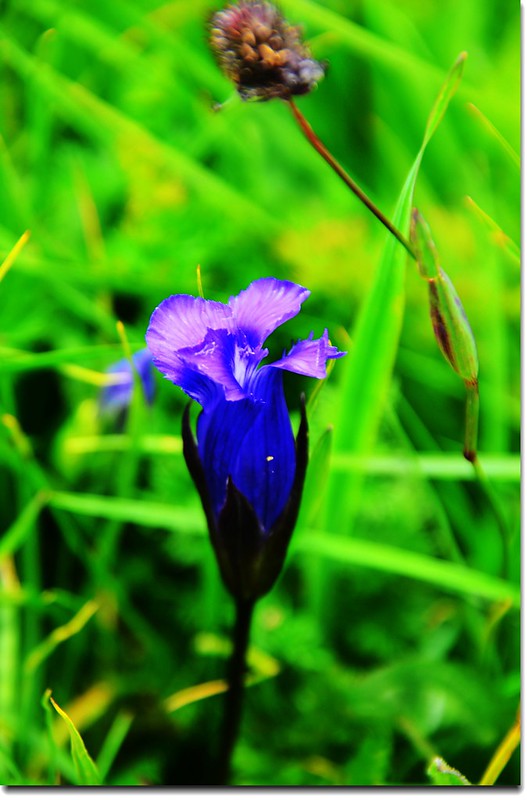
Fringed Gentian
Paintbrush flower
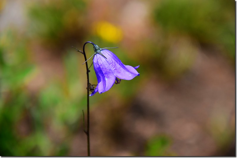
Mountain Harebell
穿過草原後小徑又進入一小段稀疏的松林中穿行。
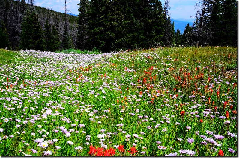
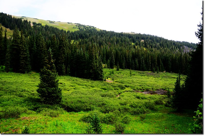
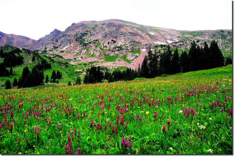
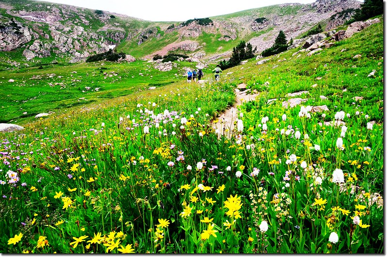
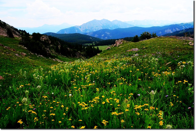
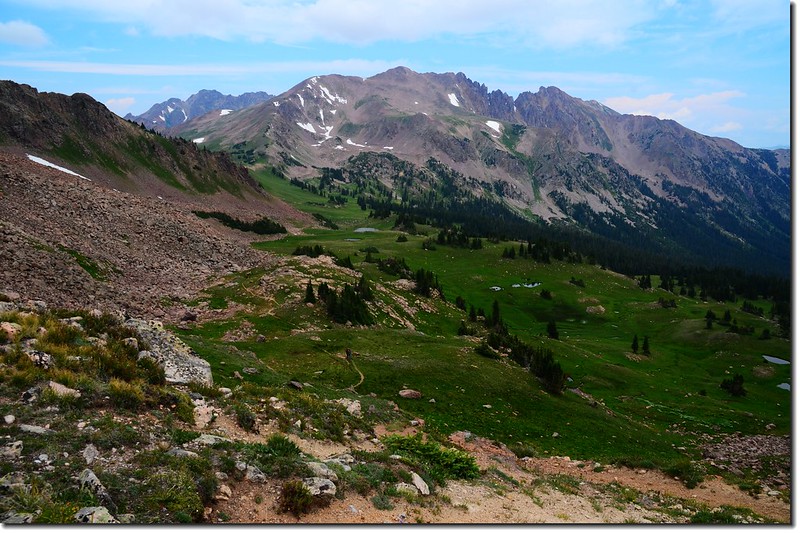
11:35 出森林小徑右側一座水潭,正前方又是一片大草原,此為紀錄上所謂第三處且是最大草原,海拔約11,235呎(3,424公尺),距登山口3.95 哩。
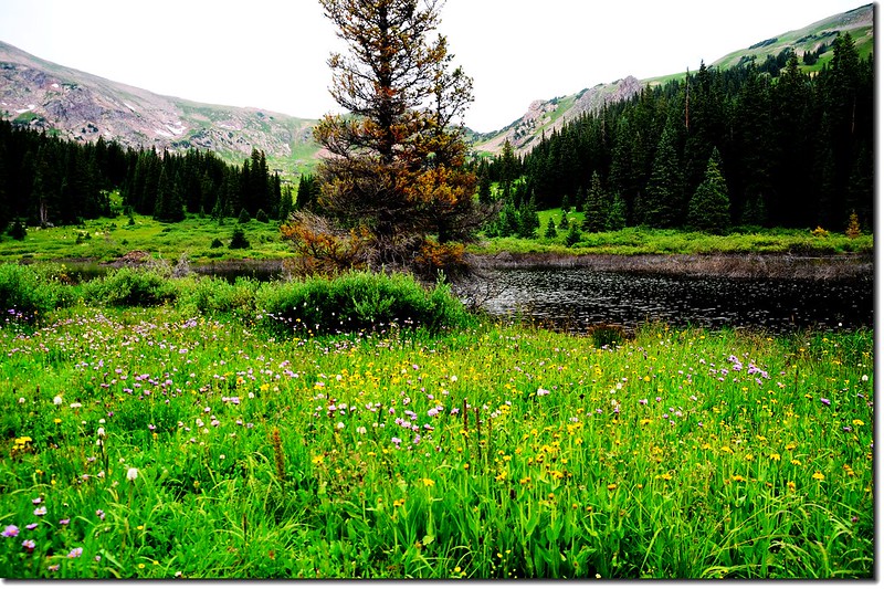
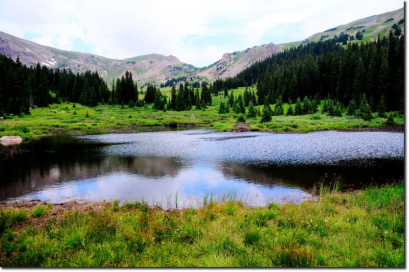
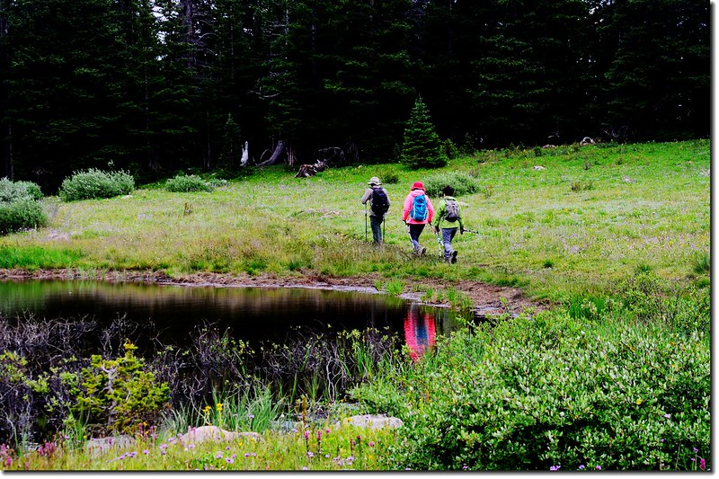
A pond along the trail
Chief Mountain from the third meadow

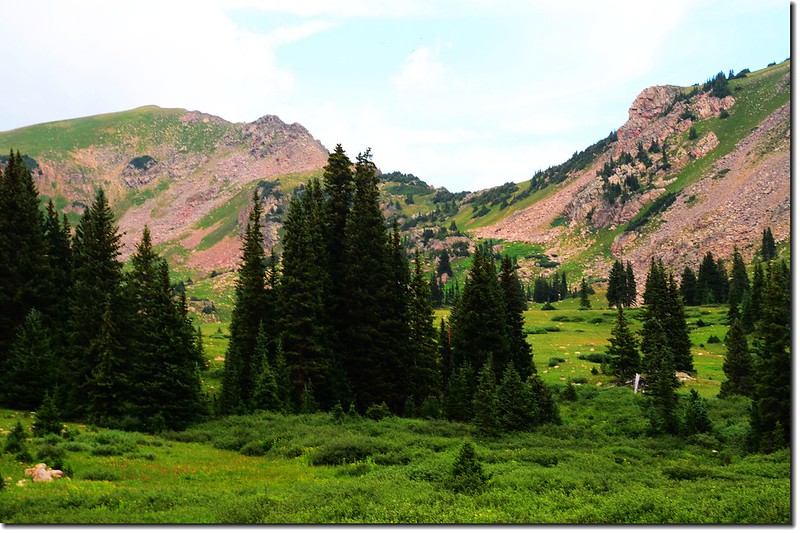
Eccles Pass from the 3rd meadow
Wildflowers blooming along the trail
11:54 第三度橫跨Meadow Creek,溪水不大,踩著溪上石頭跨過,此處海拔約11,305呎(3,446公尺),距登山口約4.15哩。
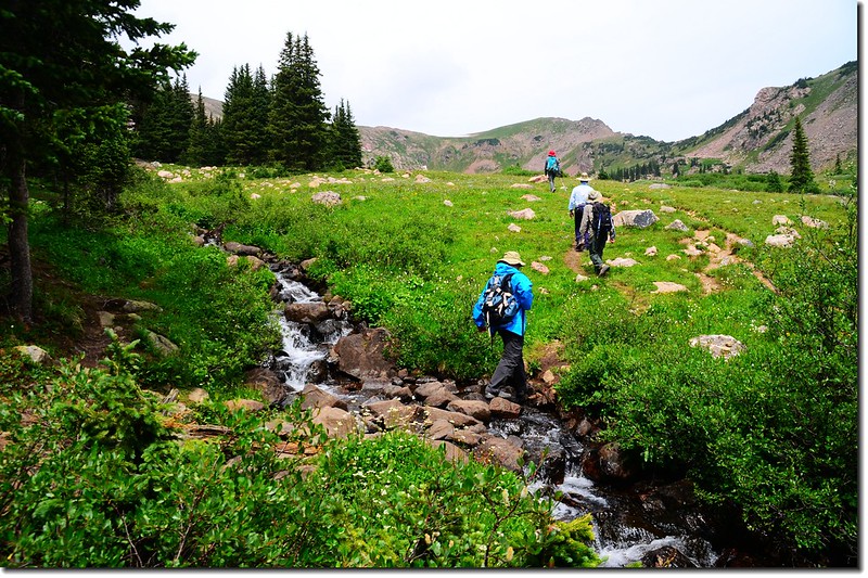
Hopping on the rocks across the creek
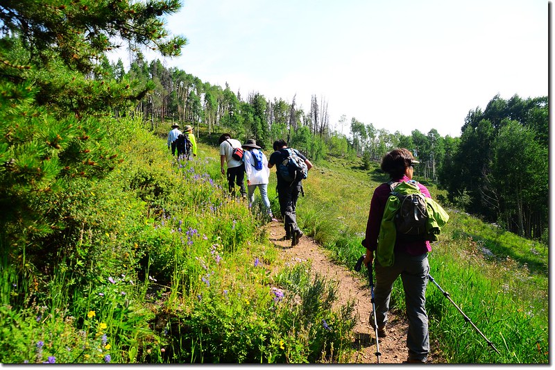
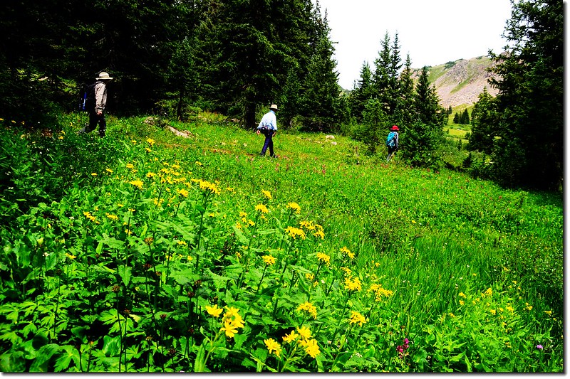
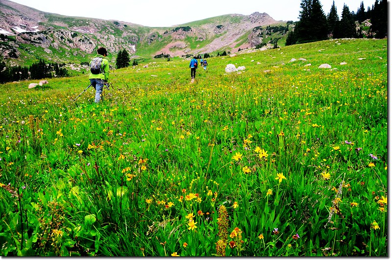
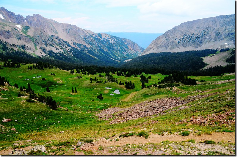
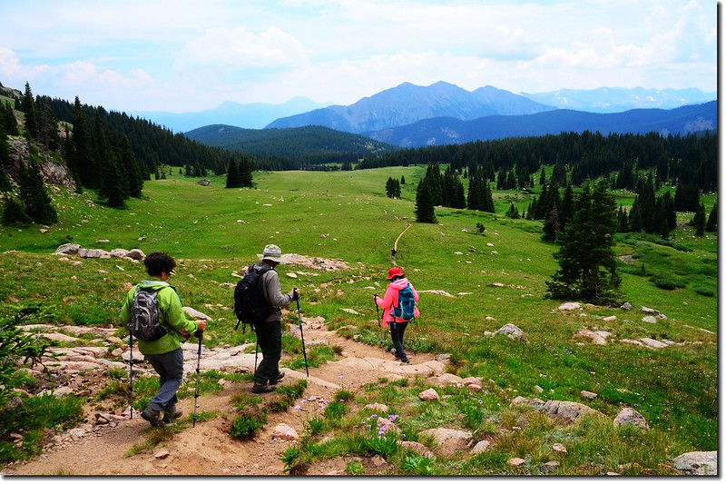
渡過小溪整個視野豁然開朗,正前方清楚看到稜線上的Eccles Pass;一大片草原開滿野花直抵Eccles Pass稜線山腳下,小徑就在草原中間往上緩升。
Wildflowers blooming along the trail
12:03 抵達Meadow Creek trail終點接到Gore Range Trail,此處海拔約11,422呎(3,481公尺),距登山口約4.45哩;
Junction with the Gore Range Trail, Meadow Creek stays right
取右沿Gore Range Trail直行上山。
Wildflowers blooming along the trail
Meadow Creek Valley
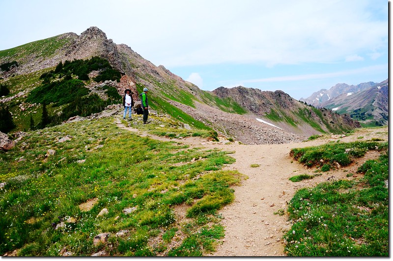
12:16 草原盡頭,開始朝Eccles Pass爬升,此處海拔約11,422呎(3,481公尺),距登山口約4.75哩。
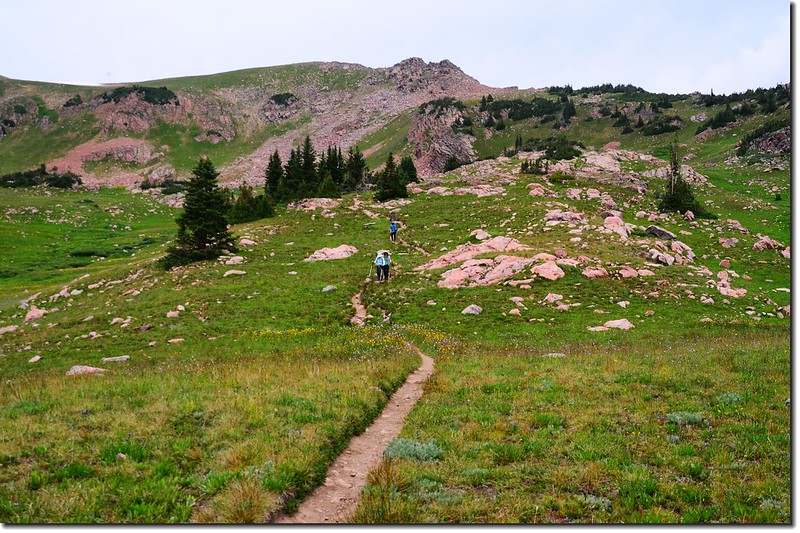
Final approach to the pass. This last segment was harder than it looked
Looking down Meadow Creek Valley, Tenmile Range is in the distance
山徑“之”字形爬升,距Eccles Pass不到半哩路,才爬升約500呎,不算難走。
Wildflowers blooming along the trail
Looking down Meadow Creek Valley, Tenmile Range is in the distance
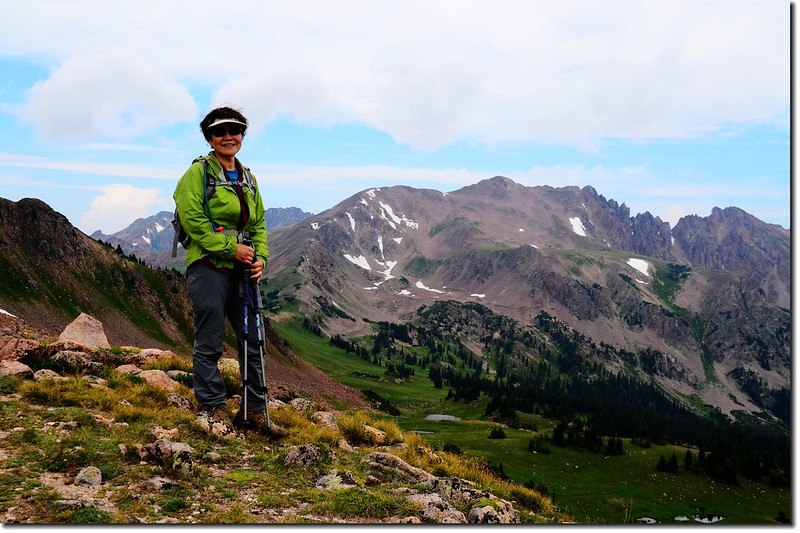
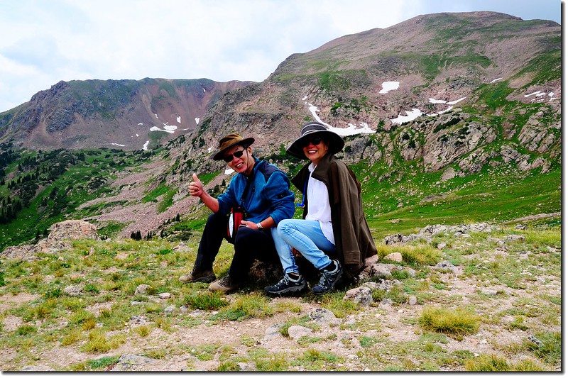
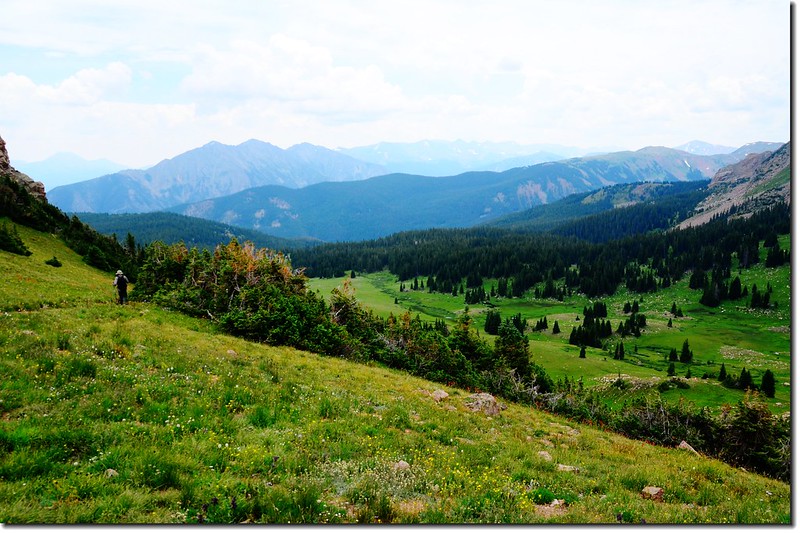
12:37 登抵Eccles Pass,此處海拔約11,918呎(3,633公尺),距登山口約5.12哩;
Eccles Pass
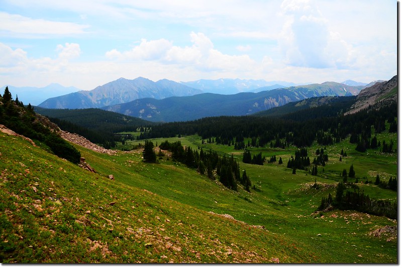
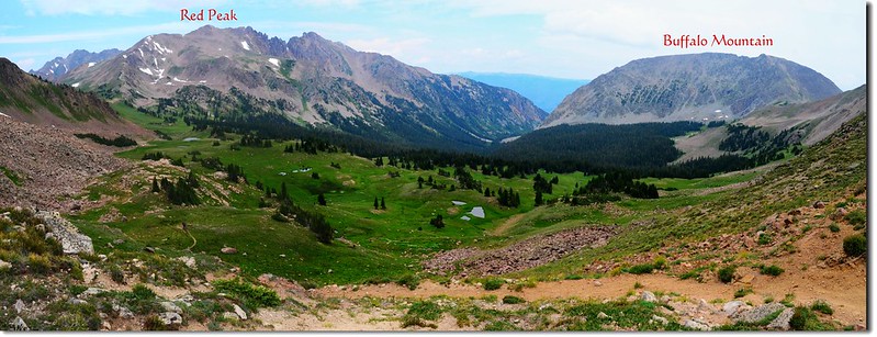
在此北望海拔13,189呎(4,020公尺)的Red Peak,俯瞰South Willow Creek basin,東北邊則是海拔12,777呎(3,894公尺)的Buffalo Mountain;南邊遠眺Tenmile Range,俯瞰來時路Meadow Creek valley。
Taken from Eccles Pass
Facing Northeast at Gore Range fron Eccles Pass
Red Peak from Eccles Pass
Looking down South Willow Creek basin from Eccles Pass
Buffalo Mountain from Eccles Pass
Looking down Meadow Creek Valley from Eccles Pass, Tenmile Range is in the distance
12:48 循原路下山。
Down to Meadow Creek Valley from Eccles Pass
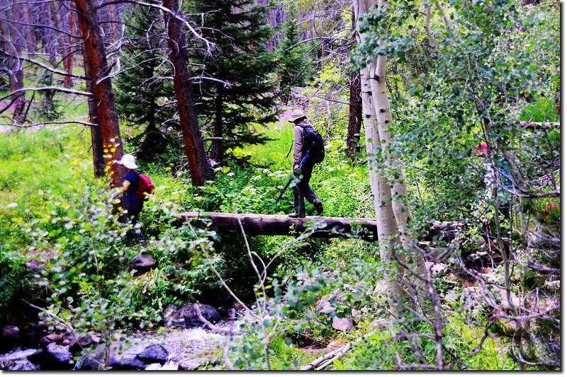
Crossing log bridge at Meadow Creek
14:55 返抵登山口,全程花費時間約5小時50分鐘。
The Meadow Creek Trailhead
★ 行車路線圖
★→點此看放大圖
沒有留言:
張貼留言