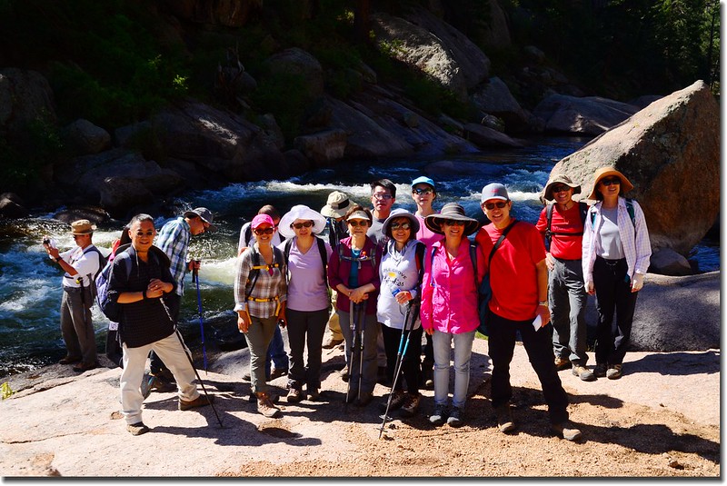
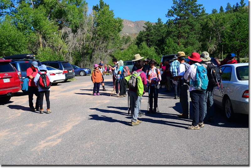
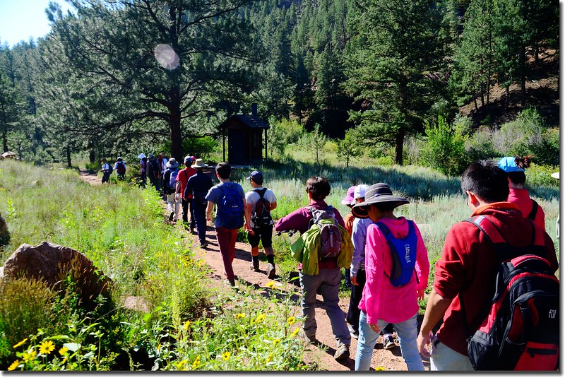
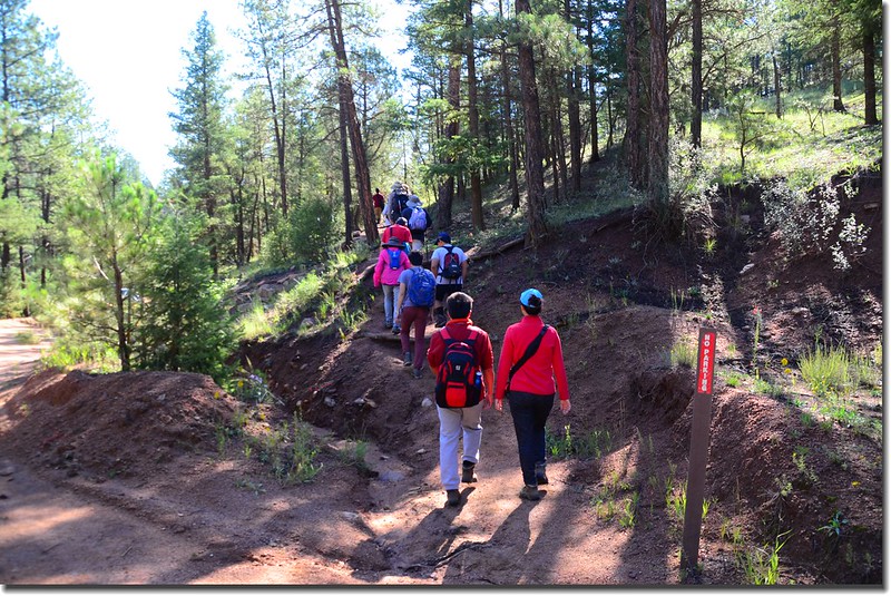
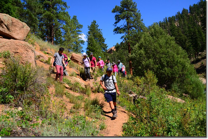
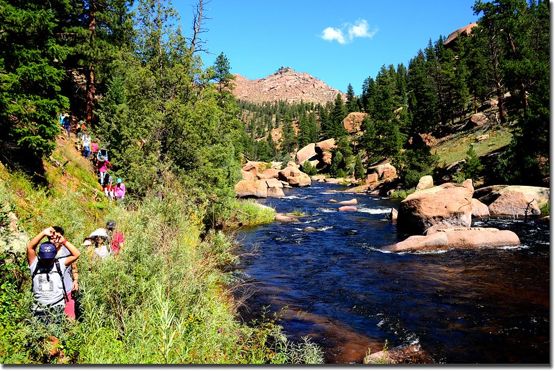
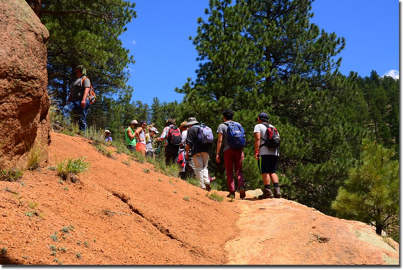
這個週六華人登山隊計畫走The Gill Trail,這次登山是和Rocky Mountain Chinese Society of Science and Engineer (RMCSSE)聯合辦理,所以參加人數較多,將近有三十人參加。
The Gill Trail位在丹佛西南方約60哩的South Platte River西岸,登山口Cheesman Canyon Trailhead(Lower Trailhead)則位在CR 126路上。
The Gill Trail 名稱之來源是在西元1904 到 1907年間有一位名為Tom Gill者他有一間鋸木廠就位在現在的登山口位置,他修築了從他鋸木廠到Deckers的道路。The Gill Trail的終點是Cheesman Dam,該水庫完成於1905年,主要是供應丹佛地區的用水。
該步道主要目的是提供要進入Cheesman Canyon釣魚的釣客通行之用;介於私人俱樂部Wigwam Club和 Cheesman Dam 之間約三哩長的Cheesman Canyon以Brown trout 和Rainbow trout兩種鱒魚聞名,但此處釣魚區的規則是“catch and release”,不得將釣得的魚帶回家。
Gill Trail一路沿著Cheesman Canyon的South Platte River西岸南行直抵Cheesman Reservoir,全長(單程)約3.46哩,一般登山客取原路回到登山口;另一走法是繞過Cheesman Reservoir走到水庫北端的upper trailhead,然後走2.7哩的(CR 211)土石路回到Lower Trailhead~Cheesman Canyon Trailhead,如此一個Loop大約8.2哩。
------------------------------------------------------------------------------------------------------
行車資訊:
由Golden走I-70西行,在Exit 260出口轉CO-470 E朝Colorado Springs南行,5.7哩後下交流道改走US-285 S朝Fairplay西南行。
US-285 S朝Fairplay西南行約21.3哩至Pine junction(有紅綠燈號誌),於Pine Valley Rd (CR 126)向左轉,一路沿著Pine Valley Road南行21.7哩後停車於路右Cheesman Canyon Trailhead停車場。
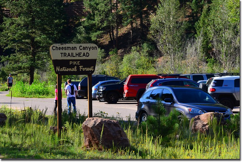
Cheesman Canyon Trailhead parking lot
步程簡述:
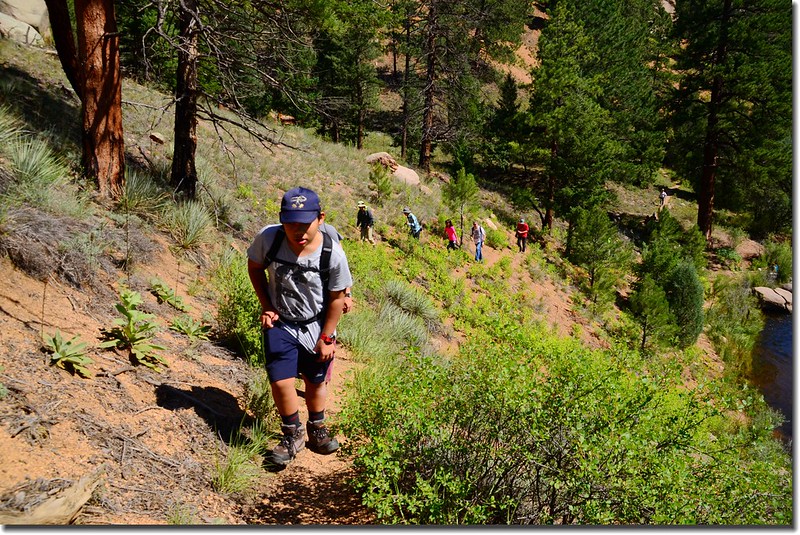
09:30 停車場出發,登山步道起點在停車場東端廁所前沿小徑往東南行;
Starting from trailhead
經過一跨越小溪的小木橋後續往東行;
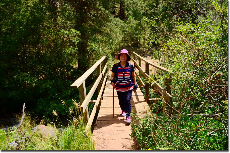
A foot bridge crosses Sixmile Creek
不久遇到一條土石路,該土石路是通往Cheesman Reservoir (Cheesman L)的Forest Service Road 211,此土石路也是前往 Harmonica Arch (Goose Creek Trailhead)的主要道路,該景點三年前曾和Tony去過。
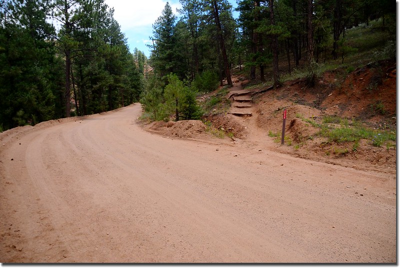
The trail crosses County Road 211
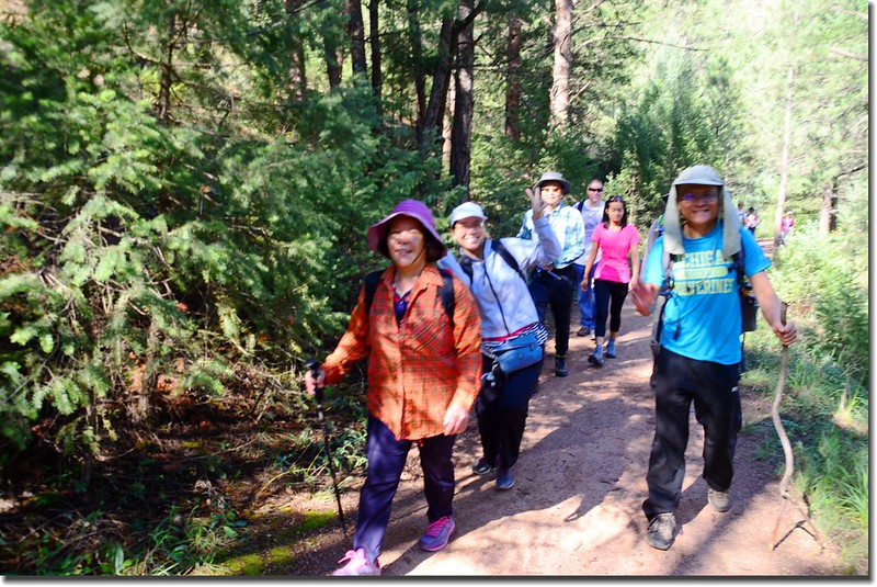
穿過該土石路步道進入山坡的松林間腰繞往東南行。
The trail crosses County Road 211
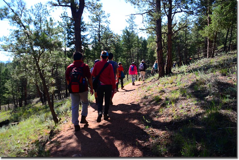
The trail winds its way through the forest, just skirting the Hayman Fire burn scar
09:44 第一處登山步道和下切South Platte River溪岸的岔路口,此岔路口也是一處越稜點,距登山口約有0.6哩左右;
The trail and the river access fork
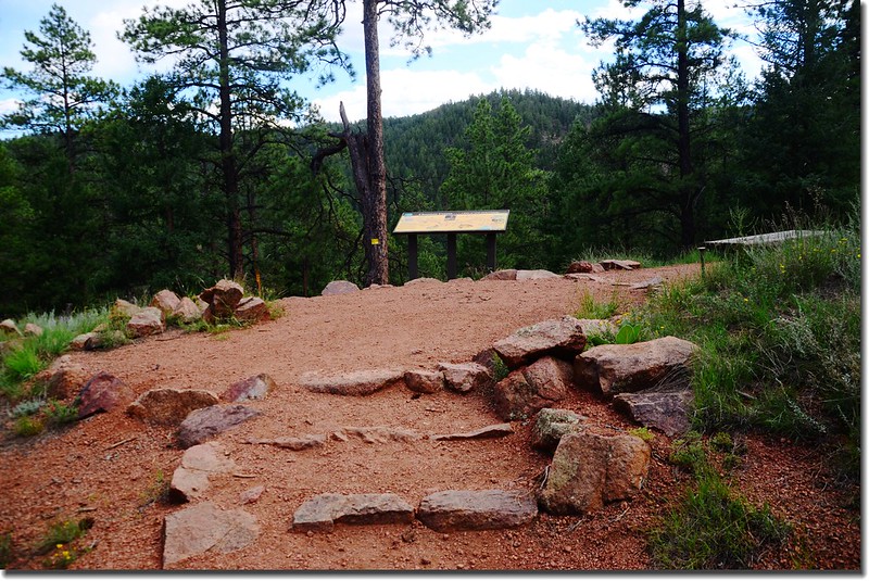
此處立有一座“Cheesman Canyon, 3 miles of Gold Medal Fishing.”的標示牌,標示出Cheesman Canyon十幾處釣魚點,並標示出由此處到Cheesman Reservoir北端的The upper canyon trailhead距離有4.5哩;
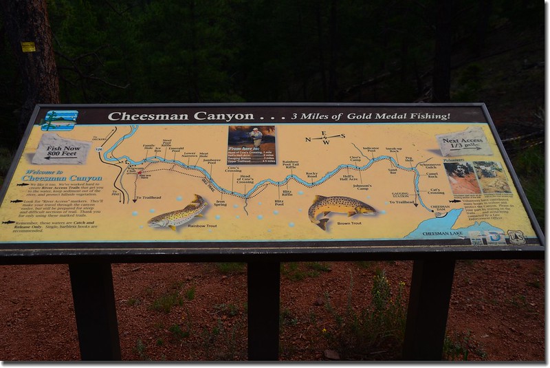
River and fishing informational sign at Cheesman Canyon Trail
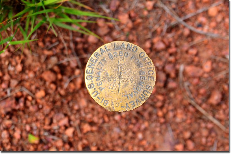
Benchmark at Cheesman Canyon
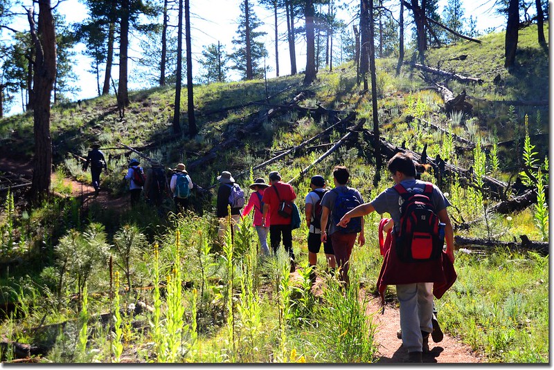
此越稜點直下陡峭山徑可通往South Platte River溪岸,右岔則是Gill Trail登山步道,取右行。接下來的步道有好多處類似此種岔路通往溪岸,大多沒明顯標示,僅能靠自己判斷,一個原則是登山步道大致是在溪流稍高的斜坡上,往溪谷的岔路是供釣客行走的通道。
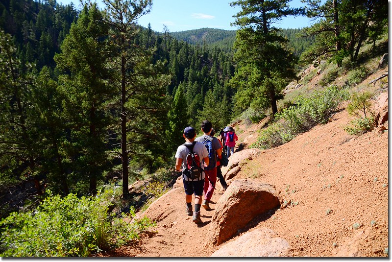
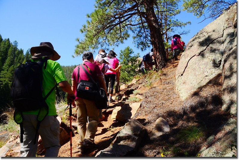
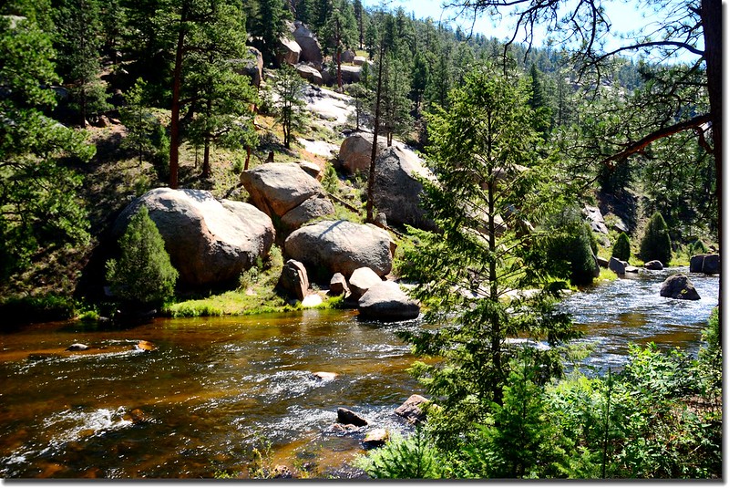
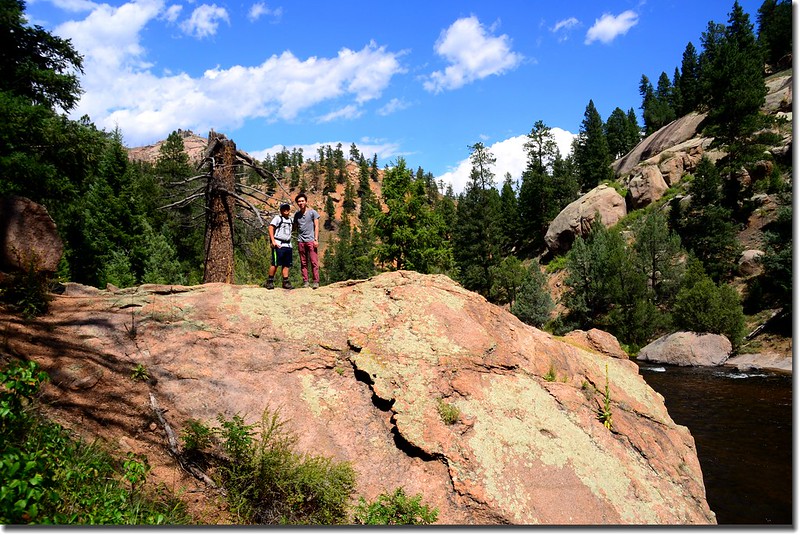
The Gill trail along the slopes of Cheesman Canyon
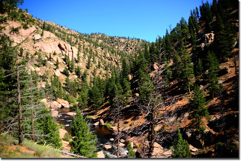
A view from the trail above the river
Mountain view along Cheesman Canyon
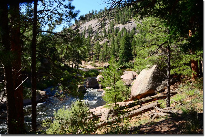
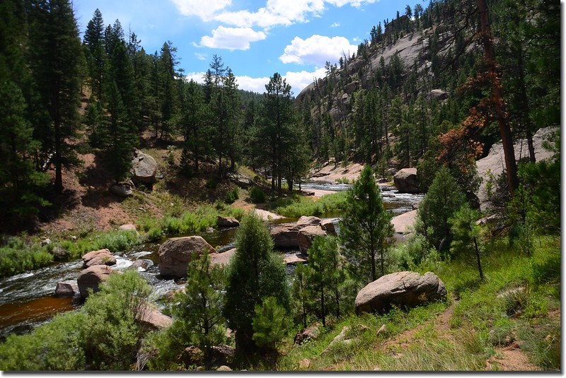
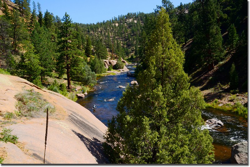
一路在Cheesman Mountain東邊山腳下沿著South Platte River南行,河谷中湛藍的河水在裸露的岩石間穿流而過,耳中傳來潺潺的流水聲,時而見到三兩Fly fishing釣客涉水在湍急的溪流中甩拉著釣竿,這些動、靜的場景使人忘卻了登山的勞累。
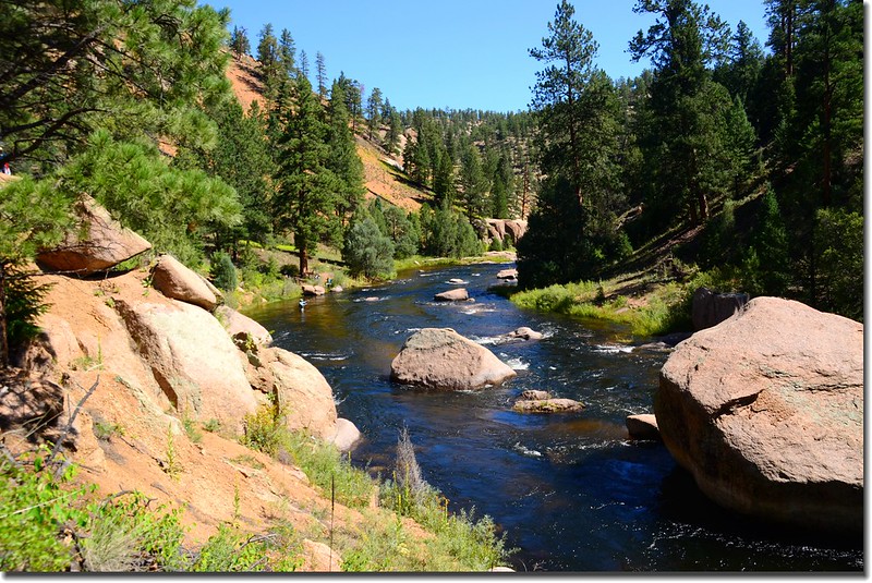
South Platte River
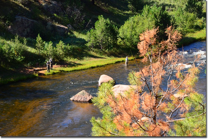
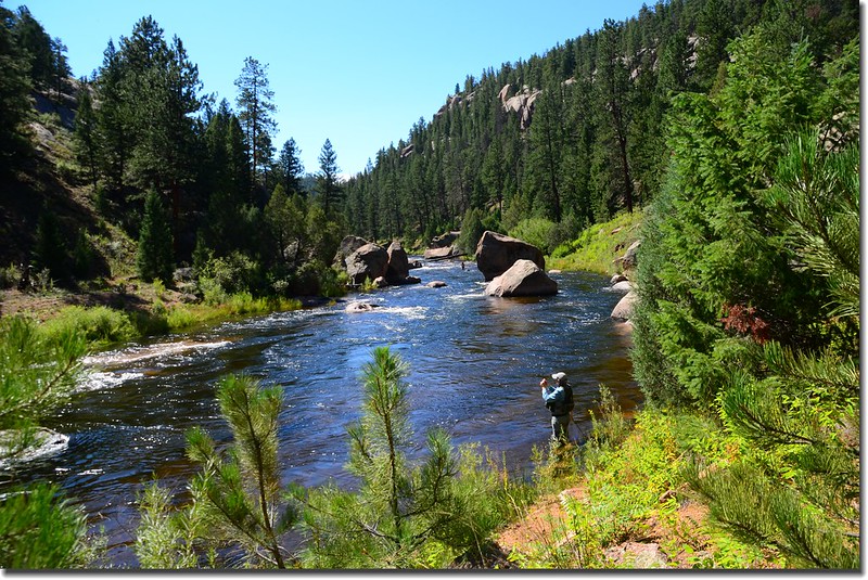
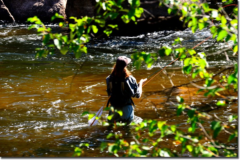
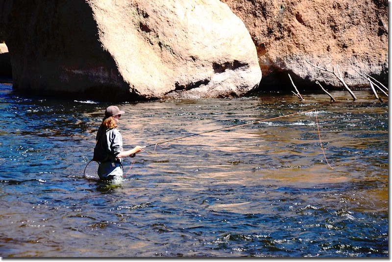
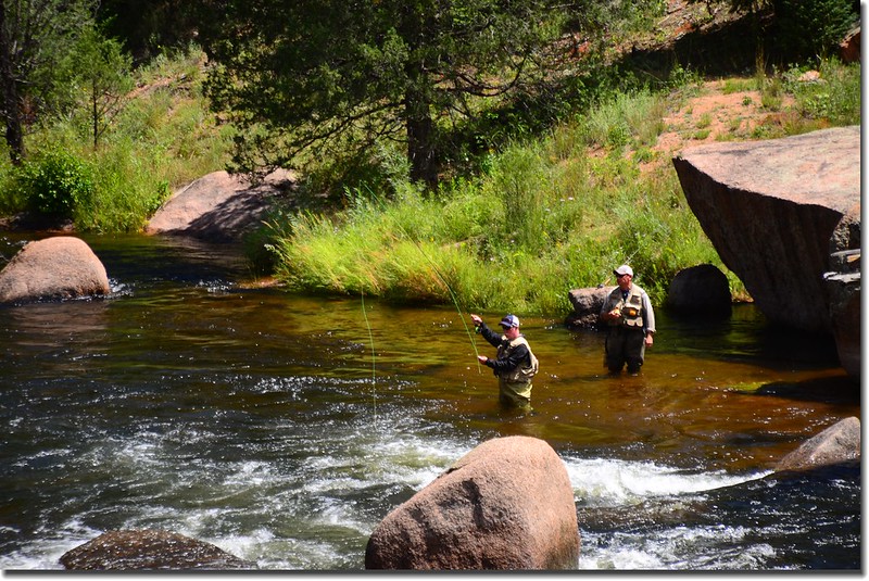
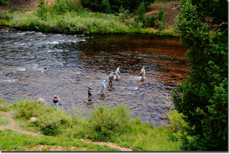
Fly fishing Cheesman Canyon on the South Platte River
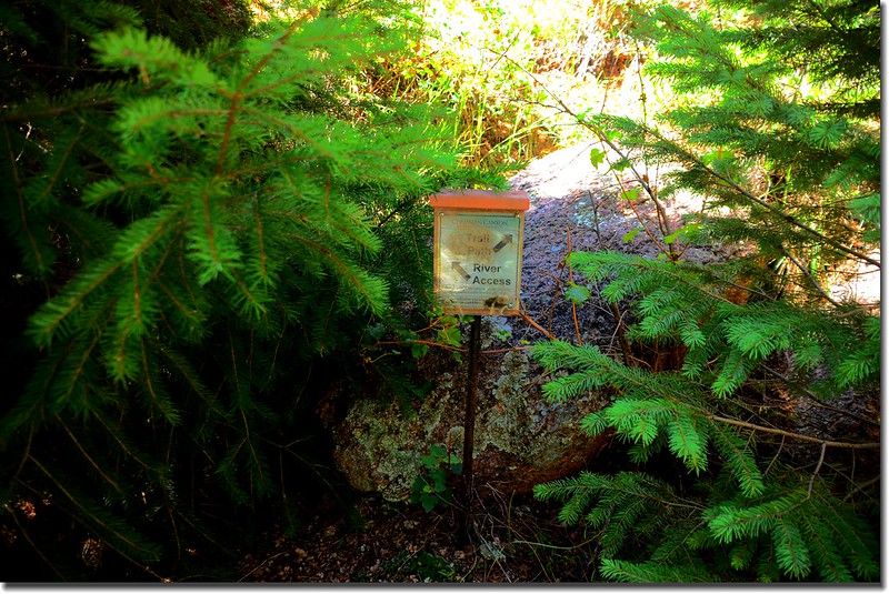
11:00 抵一處"Y”岔,右岔往Trail Path,左岔往River Access,路標幾乎被小樹叢掩沒,不易察覺;此處距登山口約3哩左右。
The trail sign at the Y. Bear right.
過了"Y”岔取右行不久,路跡已不清楚,處處是大石阻路,山坡陡峭又是小石礫地形,走來異常危險,如果是小隊伍還可彼此照顧前行,領隊考慮我們人數眾多,登山經驗差異度頗大,顧及隊員安全宣布下撤,下撤點距登山口約在3.2哩左右,距Cheesman Reservoir北端的The upper canyon trailhead僅約一哩多的路程,如果上切到高點應該就是越稜點,應該可俯瞰Cheesman Reservoir。
全體下撤到"Y”岔路標附近各自找蔭涼處用餐休息。
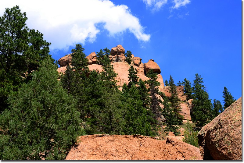
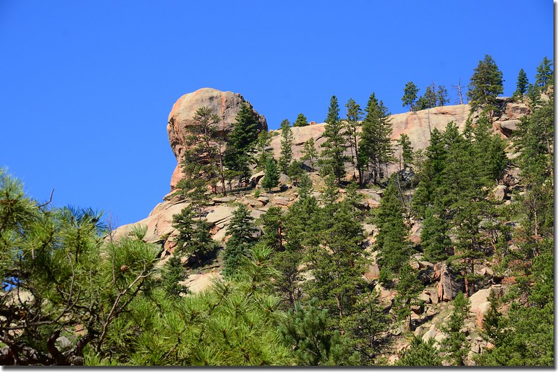
Taken from Cheesman Canyon
Taken from Cheesman Canyon
12:00 大夥用餐完畢循原路下山。

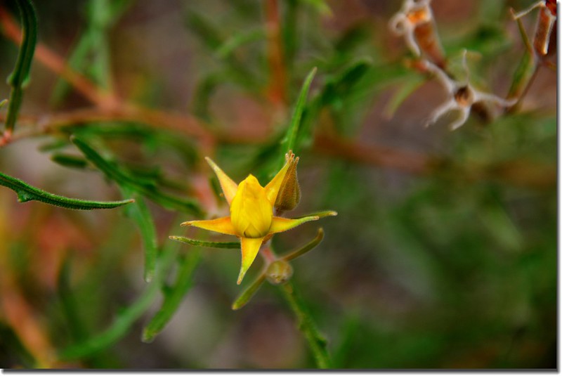
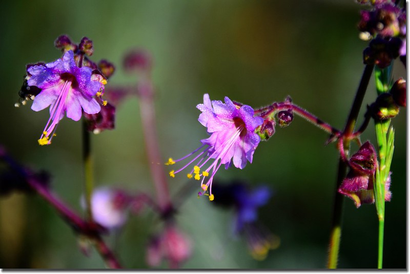
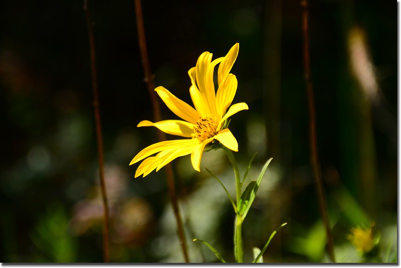
Heart leaved Arnica
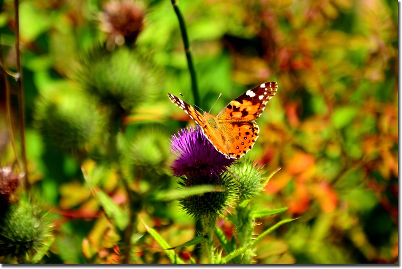
Butterfly and thistle
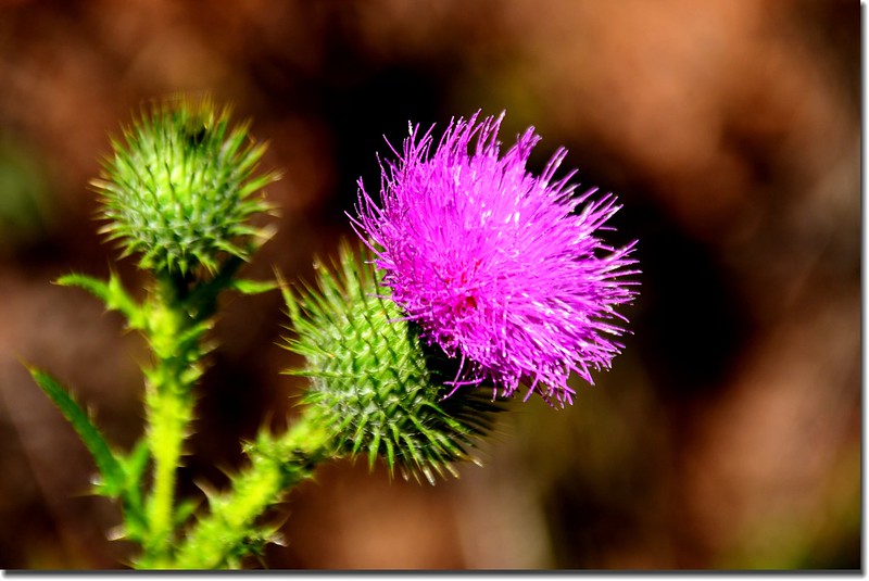
Thistle
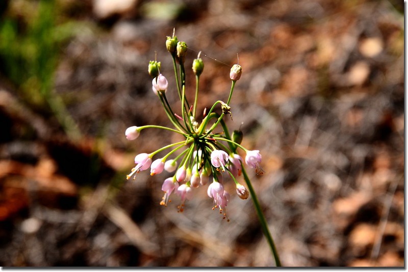
Nodding onions
13:30 回到第一處路標的越稜點,左轉腰繞下山。
13:50 返回停車場登山口,各自開車回家,我則載著家人到Cheesman Reservoir一遊。
由Cheesman Canyon Trailhead停車場沿Deckers Rd(CR 126)續東行0.3哩後向右急轉彎改走Wigwam Creek Rd (211)上山;右轉上山後一路是土石路面,但維護良好,一般小車通行無礙;道路兩旁是發生在2002年的森林大火Hayman fire殘留的枯木【註】。
Wigwam Creek Rd (211)行約2.0哩後遇右岔Goose Creek Rd (CR 211)不取,取左再直行0.7哩抵Cheesman Reservoir停車。
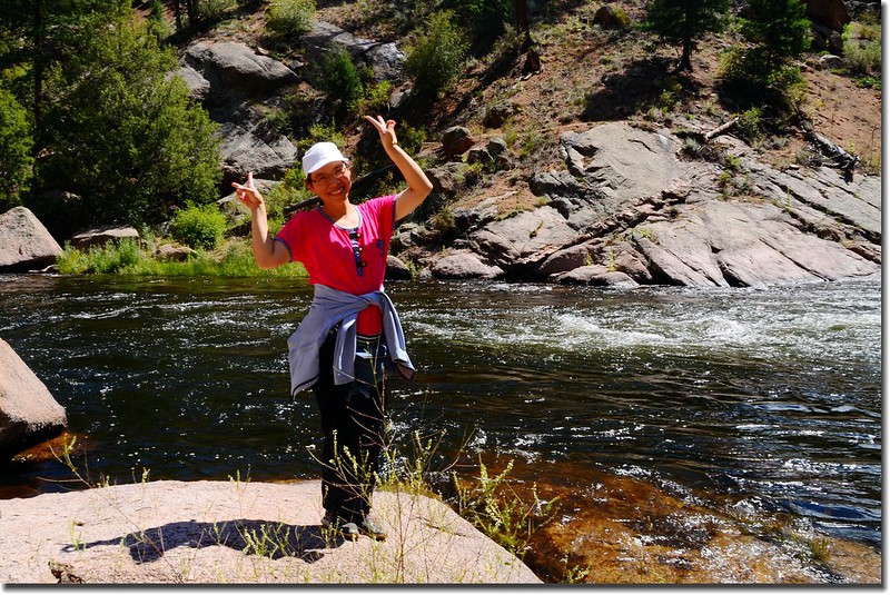
我們在湖邊拍照並稍事休息後返家。
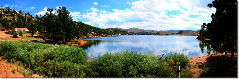
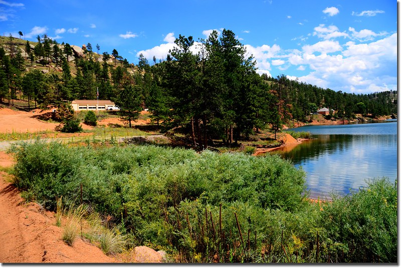
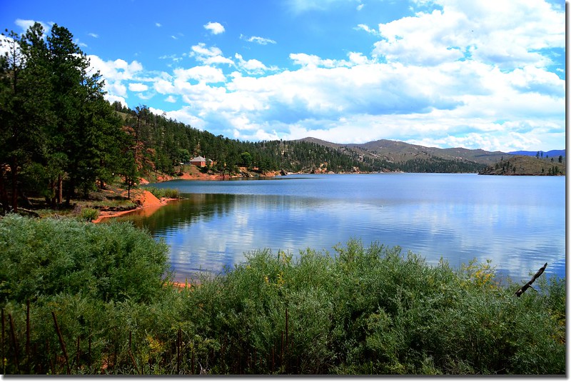
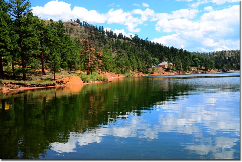
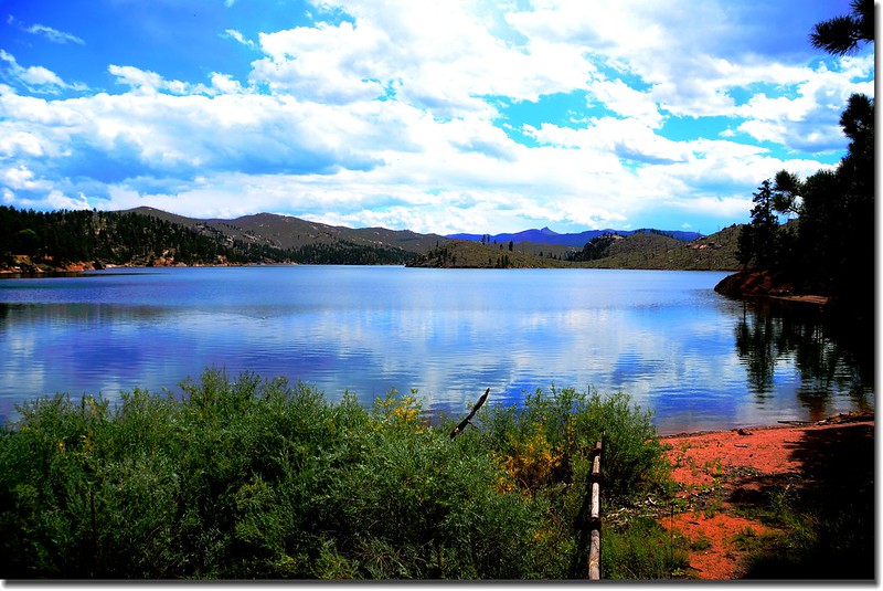
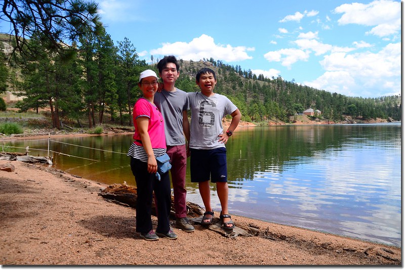
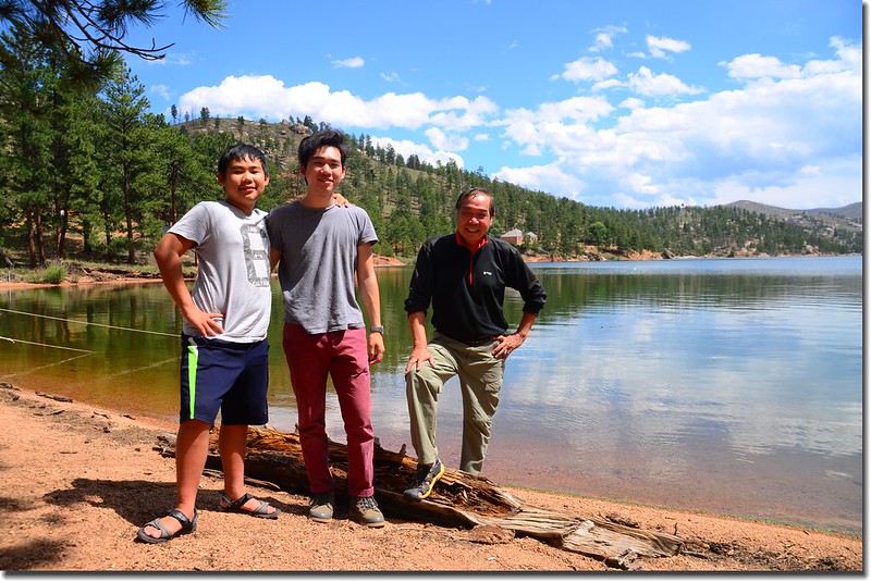
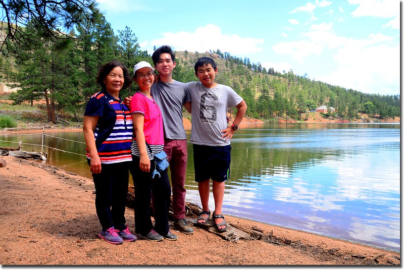
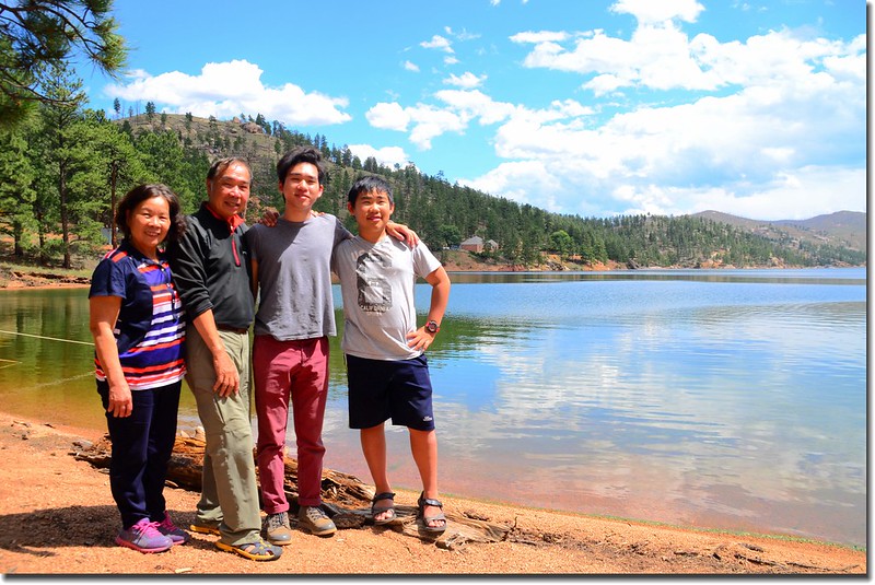
Cheesman Reservoir
【註】Hayman fire
科羅拉多史上最大的森林大火Hayman fire於2002年發生在丹佛西南方95哩、Colorado Springs西北方35哩處,該森林大火發生於2002年6月8日,直到同年7月18日才被完全控制住;該次森林大火燒毀了133個住家,138,114英畝森林,並迫使5340人撤離,是科羅拉多州史上最大的森林大火。該次森林大火之所以命名為“Hayman fire”是以發生地—靠近Tappan Gulch附近的一個礦場廢墟(鬼城)來命名。
★ 行車路線圖
★→點此看放大圖
沒有留言:
張貼留言