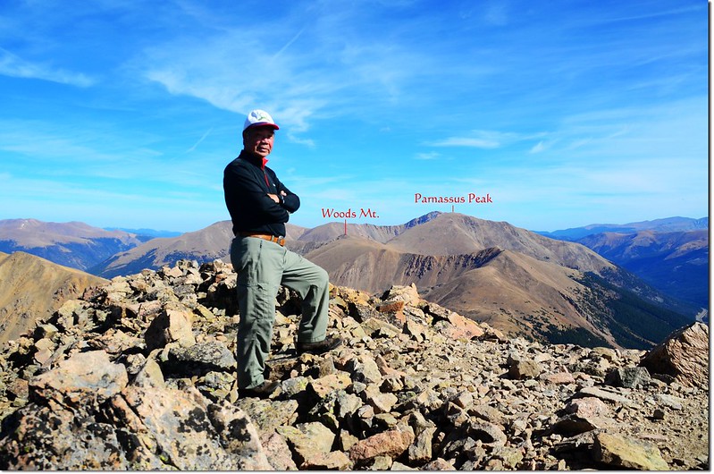
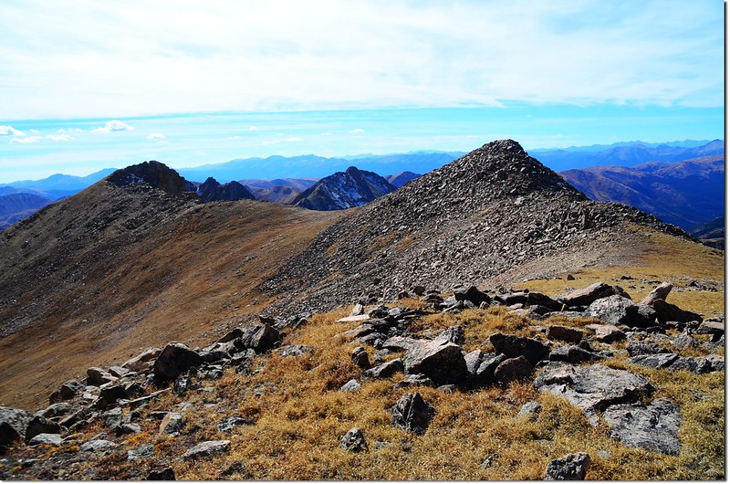
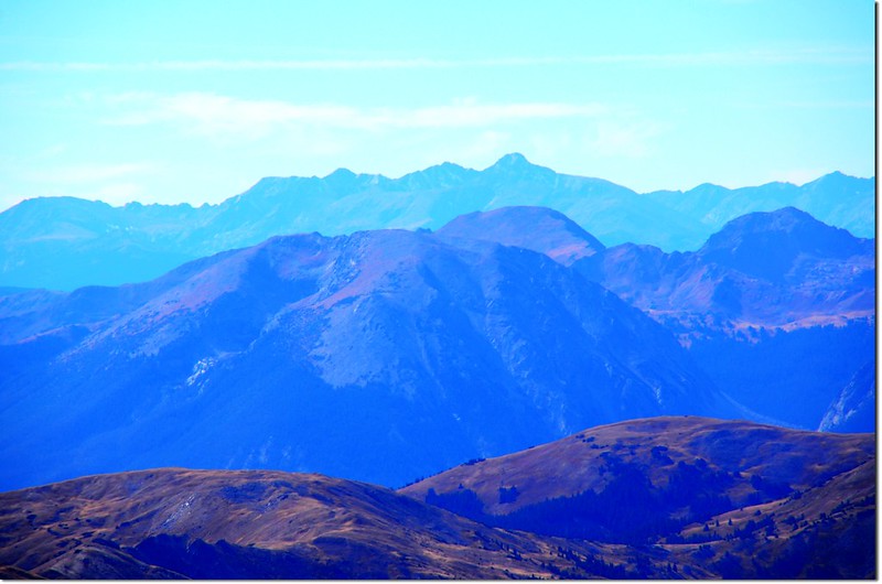
On the summit of Pettingell, in the background are Woods Mt. & Mount Parnassus
今天貝貝no school(他說沒有學校),陪我到山上走走~~
我們計畫去走Herman Gulch Trail到Herman Lake;Herman Lake位在小鎮Bakerville北邊Herman Gulch上游Pettingell Peak山腳下一處開闊的苔原台地上,正在大陸分水嶺下方,Herman Gulch Trail是一條老少咸宜很容易親近的步道,有人稱他是“urbanite(都市人)”步道,所以假日時登山客蠻多的。
-------------------------------------------------------------------------------------------------------
行車資訊:由丹佛沿I-70州際公路西行,然後在Exit 218出口下交流道,隨即右後轉彎行駛一條兩三百呎的石子路即抵達Herman Gulch Trailhead,登山口有一處蠻大的停車場,登山口就在停車場的北邊中間位置,此登山口是Herman Gulch Trail和Watrous Gulch Trail共用登山口。

Mount Bethel(L) & Pettingell(R) as seen from I-70
攀登湖泊山岳:
Herman Lake:海拔11,987呎(3,654公尺)
Pettingell Peak:海拔13,553呎(4,131公尺)
登山口:Herman Gulch Trailhead(海拔10,300呎 / 3,139公尺)
登山里程:8.75哩(14公里)
總爬升高度:約3,300呎(1,006公尺)
登山時間:7小時25分
-------------------------------------------------------------------------------------------------------
步程簡述:09:15 登山口出發,由登山口小亭旁沿Watrous Gulch Trail往東前進;
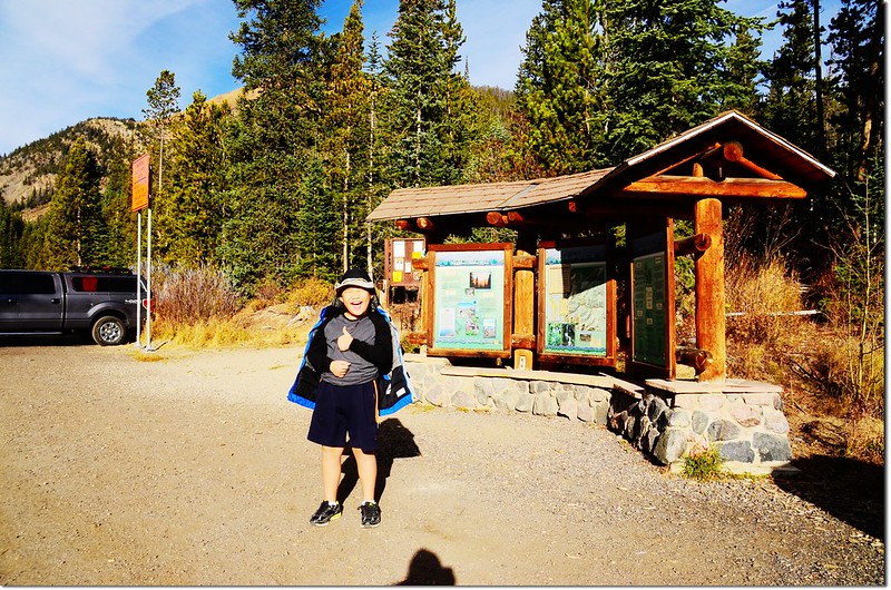
Herman Gulch Trailhead
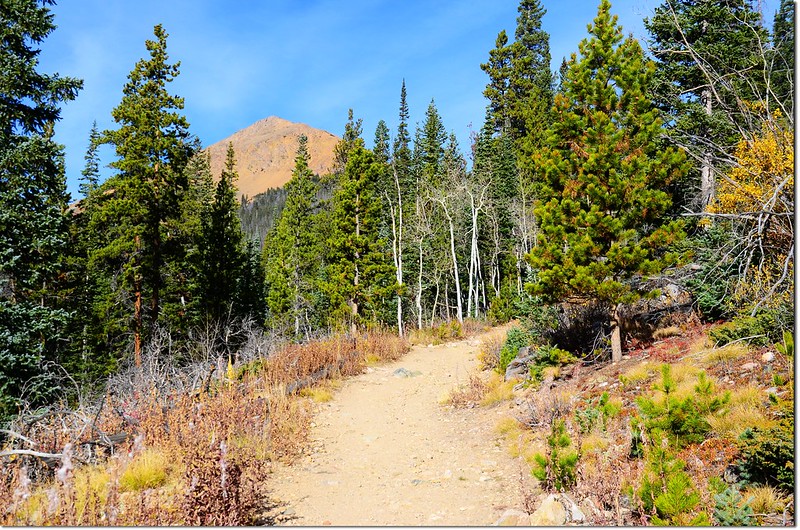
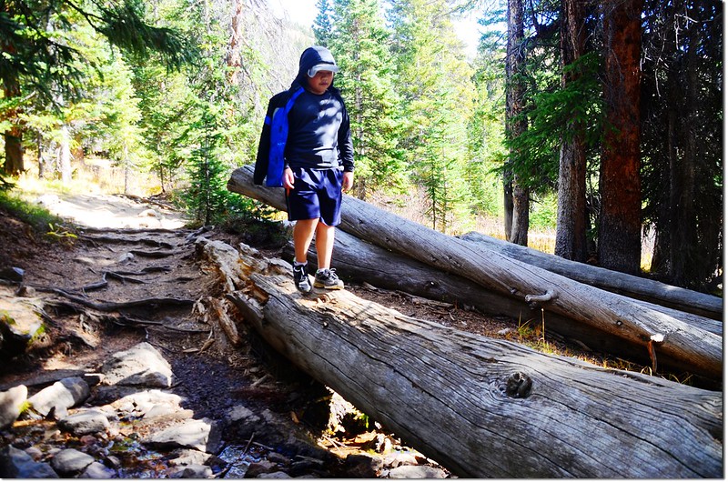
一開始數百呎的步道在松林中平緩前進,步道維護得很好。
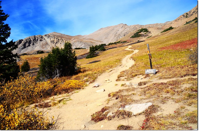
09:20遇Herman Gulch Trail和Watrous Gulch Trail岔路,海拔10,376呎(3,163公尺),距登山口約400呎(122公尺);取左上朝西北往Herman Lake。
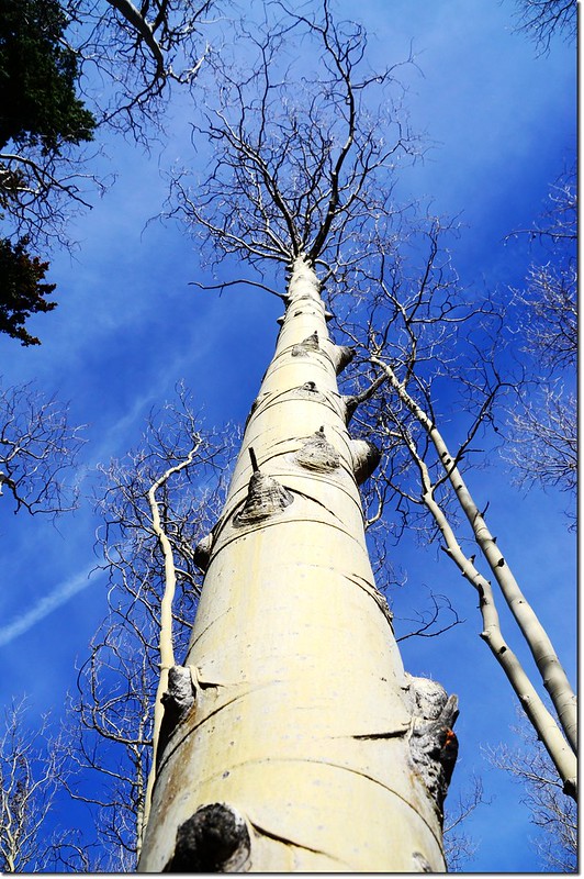
這一段上坡路段較為陡峭,地面小砂石也較為鬆散,交代貝貝行走要特別小心;小徑還算寬敞,左側山谷下是Herman Gulch Creek,兩側白楊木(Aspen)葉子已掉光,僅剩光溜溜的枝條樹幹,有點蕭條;
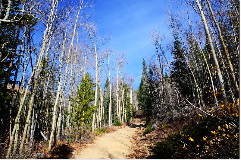
Herman Gulch Trail
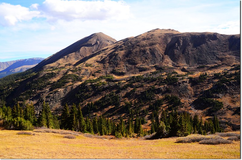
沿途正前方是海拔3,872公尺的Mount Bethel;
左邊越過I-70州際公路看到的則是海拔4,034公尺的Mount Sniktau。
In the background is Mount Sniktau
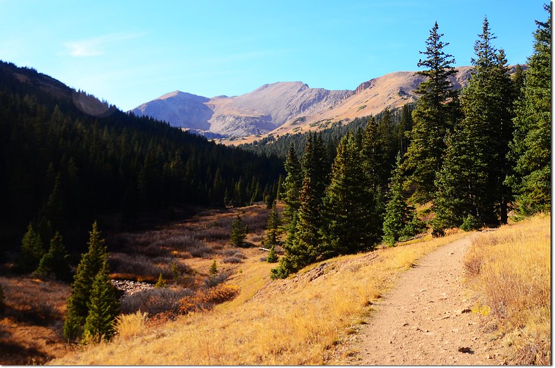
行約半哩後海拔約10,700呎(3,261公尺)步道趨緩,緊鄰小溪右岸上行,步道旁偶而出現小面積的草原及一種這裡稱為Willow的小喬木,這種植物Moose最喜歡吃了,所以紀錄上這裡也常出現Moose活動的足跡。
Mount Sniktau as seen from Herman Gulch Trail
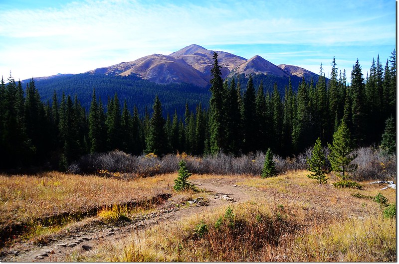
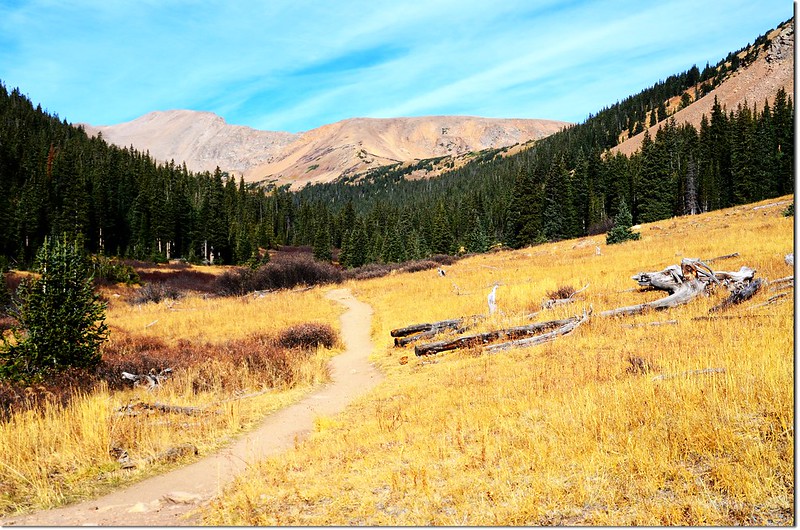
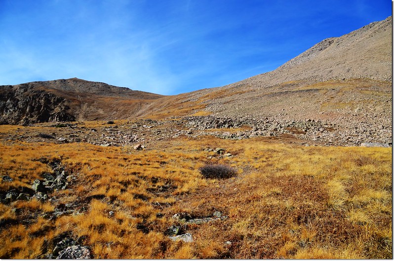
09:56 眼前出現大片草原,海拔約10,940呎(3,335公尺),距登山口約1.05 哩(1.68公里),大陸分水嶺巨龍似的橫亙在前方遠處,大陸分水嶺中央山頭是海拔13,553呎(4,131公尺)的Pettingell Peak。
Pentingell Peak from Herman Gulch Trail
Follow the excellent trail into Herman Gulch
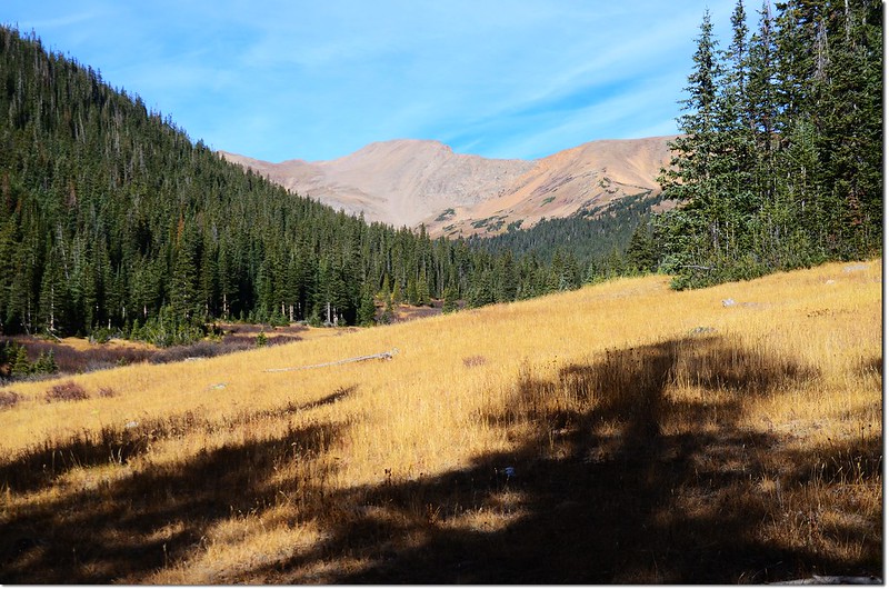
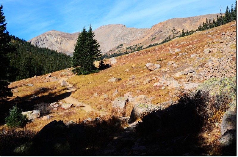
10:20 步道穿過幾處松林後又出現一處大草原,海拔約11,288呎(3,441公尺),距登山口約2.0 哩(3.2公里);
Pentingell Peak from Herman Gulch Trail
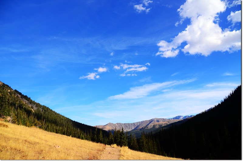
過此草原步道進入松林並開始有感覺的上升。
Herman Gulch Trail
11:27 抵達Herman Lake和Jones Pass Trail 岔路,此處海拔約11,838呎(3,608公尺),距登山口約2.85 哩(4.56公里);
Herman Lake & Jones Pass Trail junction
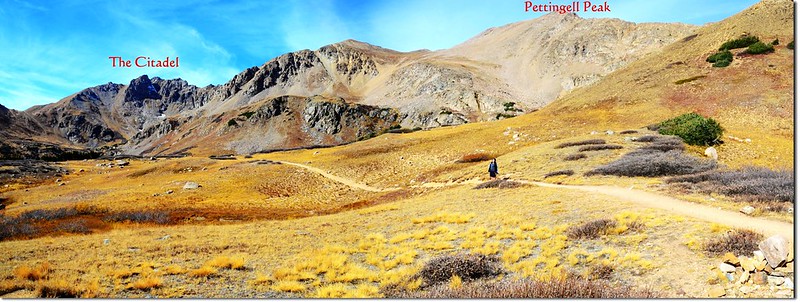
取左往Herman Lake,步道進入高山地形上升一段路後上抵寬闊的苔原地帶,步道續往西北朝Pettingell Peak山腳下前進。
Blue sky
Mount Bethel from the Herman Gulch Trail
Continental Divide viewed from east of Herman Lake along trail
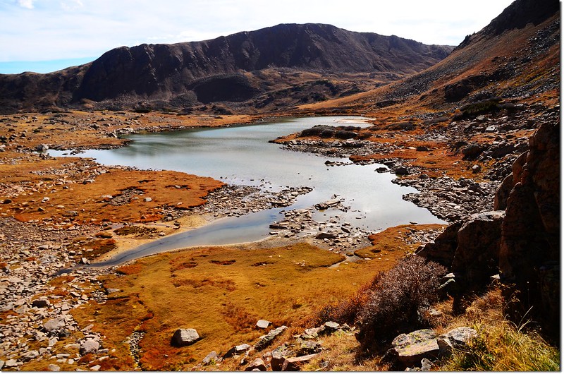
11:45 抵達Herman Lake,海拔11,987呎(3,654公尺),距登山口約3.25哩(5.2公里);
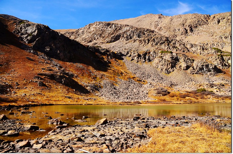
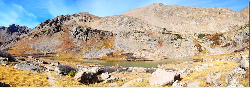
Herman Lake , in the background is the Pettingell Peak
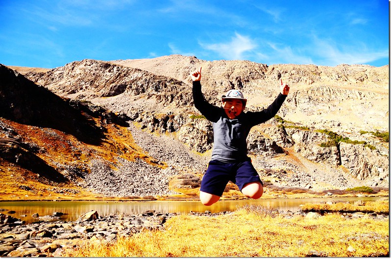
Jacob on the Herman Lake shore
Me on the Herman Lake shore
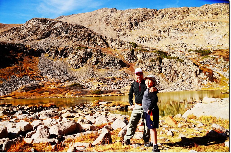
Jacob & me on the Herman Lake shore
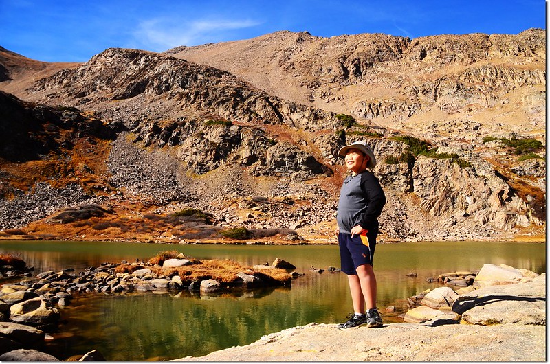
Jacob on the Herman Lake shore, in the background is the Pettingell Peak
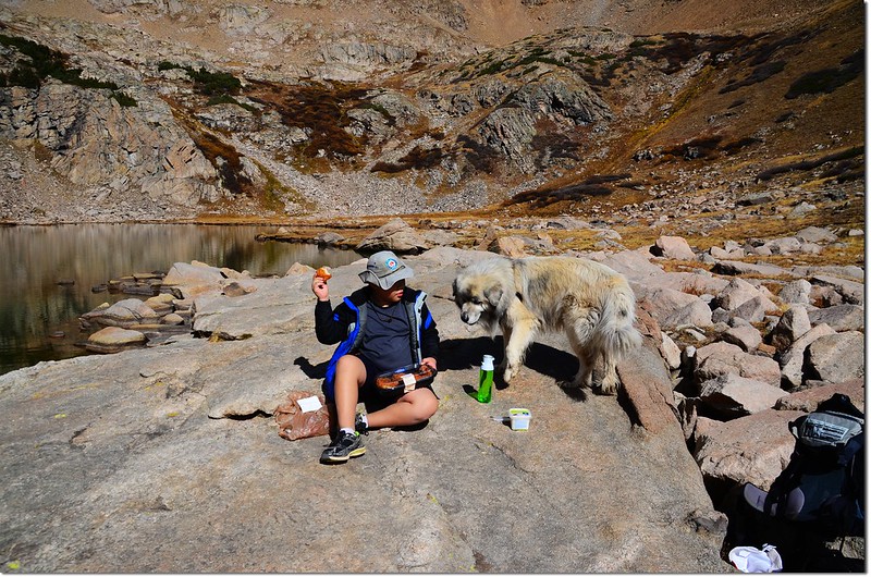
Herman Lake位在海拔13,553呎(4,131公尺)的Pettingell Peak山腳下,湖面不大,湖岸都是大小石塊,我們找一塊平坦的巨岩在上面休息用餐,貝貝說這個大石頭睡覺很舒服,又不用擔心掉到湖裡面去!
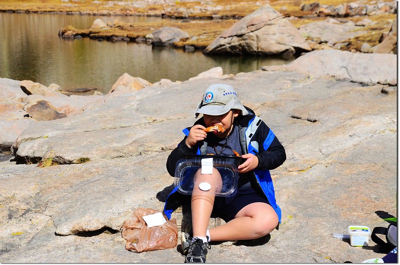
So hungry~~
Oh, no, this is mine~
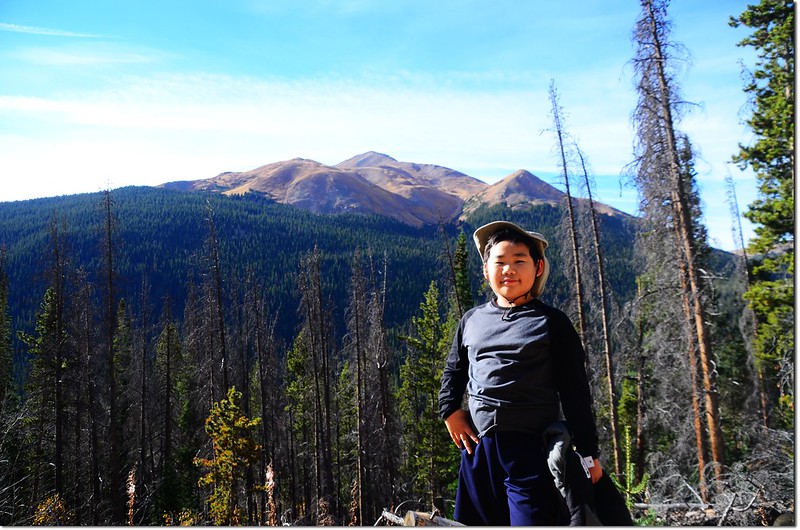
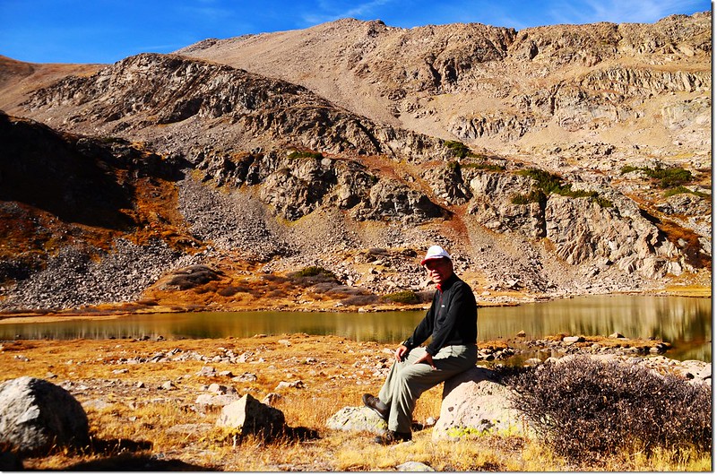
吃過中餐後我跟貝貝說我想去爬爬Pettingell Peak,貝貝鼓勵我去,並說他會乖乖的在這塊大石頭上休息看我爬山!
12:20 啟程攀登Pettingell Peak,我走的是Pettingell Peak南坡路線;沿著Herman Lake的東岸朝北往山腳下前進;
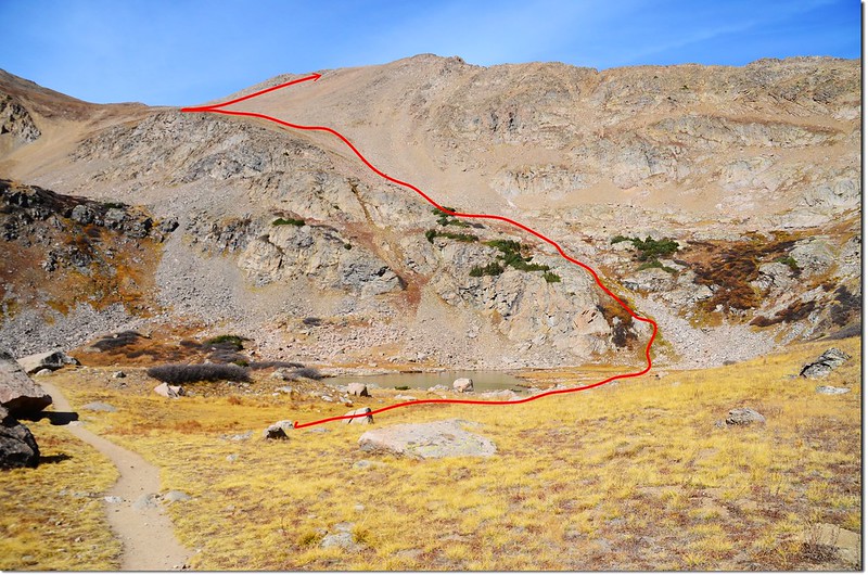
At Herman Lake. Look for a gully and ramp used to access the south slopes of Pettingell
Herman Lake from It's north shore
行到Herman Lake的東岸盡頭從一處Pettingell Peak南坡下方的溝壑朝西北上攀,有一條還算清楚的路跡可依循;由此朝Pettingell Peak和其西南邊13,418峰之間的鞍部爬升,距離約一哩(1.6公里),預計要爬升近1,400呎(427公尺),蠻陡峭的。
Looking down onto Herman Lake from Pettingell's south slopes

Climbing out of the basin
Looking down onto Herman Gulch from the south slopes of Pettingell Peak
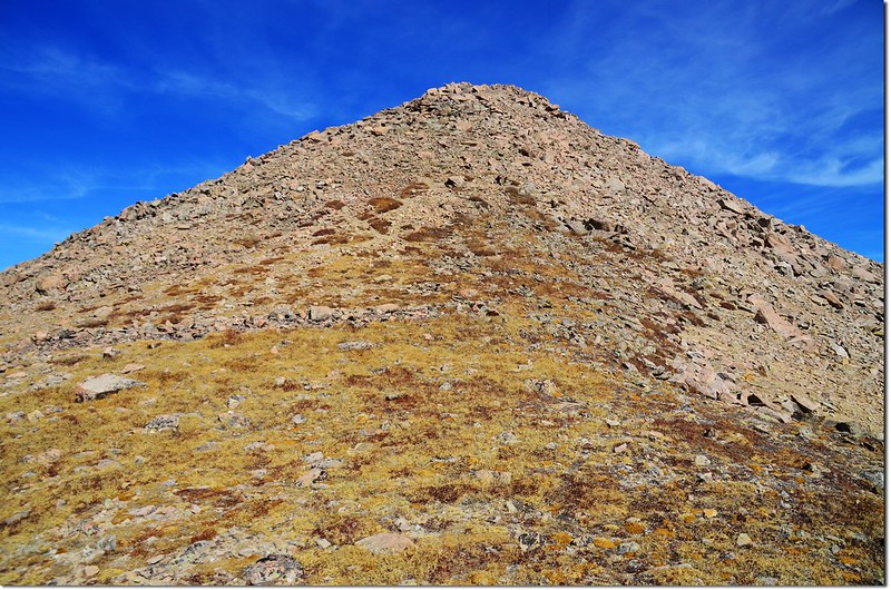
12:54 上抵一處較寬敞苔原台地,海拔約12,500呎(3,810公尺),步道變得分歧不易辨識,只能朝著目標鞍部穿過苔原植物及岩石往上攀。
Near 12,500', With the summit up to right, continue west on grassyrocky terrain
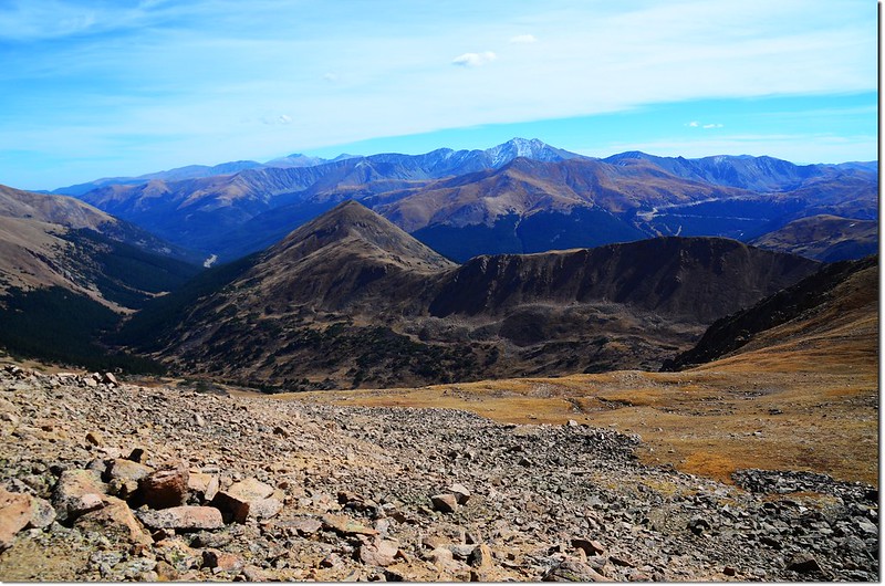
Looking down onto Mount Bethel from Pettingell's south slopes, Grays,Torreys and Mount Evans are in the distance
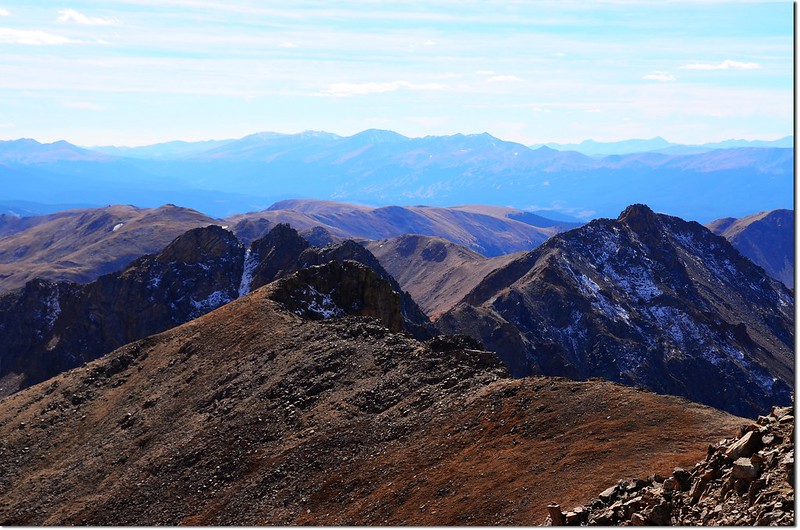
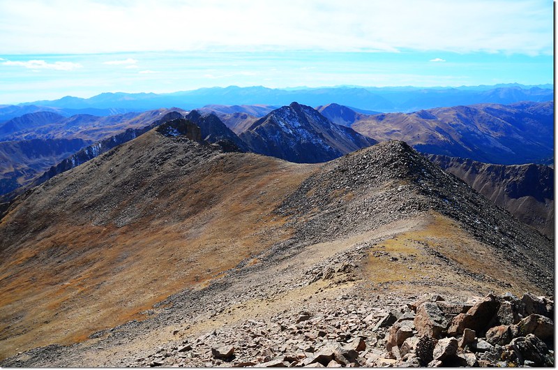
13:30 終於抵達Pettingell Peak和13,418峰之間的鞍部,海拔約13,350呎,距登山口約4.3哩(6.88公里);
On the saddle between point 13,418' & Pettingell's summit, looking southwest
Looking down onto the Herman Gulch from the saddle between point 13,418' & Pettingell's summit
西南邊(左)高地是13,418峰;
On the saddle (13,350’), looking southwest toward the Point 13,418'
東北邊(右)是Pettingell Peak山頂;
On the saddle (13,350’), looking northeast toward the top
右轉朝東北往Pettingell Peak山頂爬升。
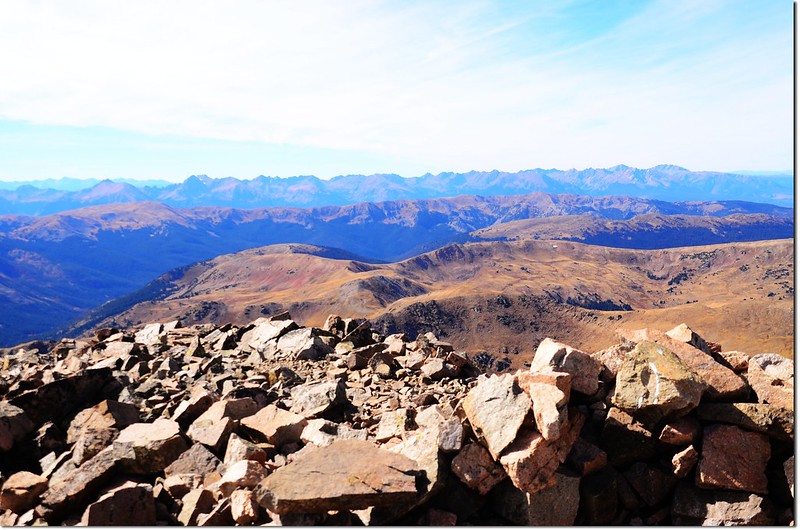
13:40 登頂Pettingell Peak,海拔13,553呎(4,131公尺),距登山口約4.4哩(7.04公里)。
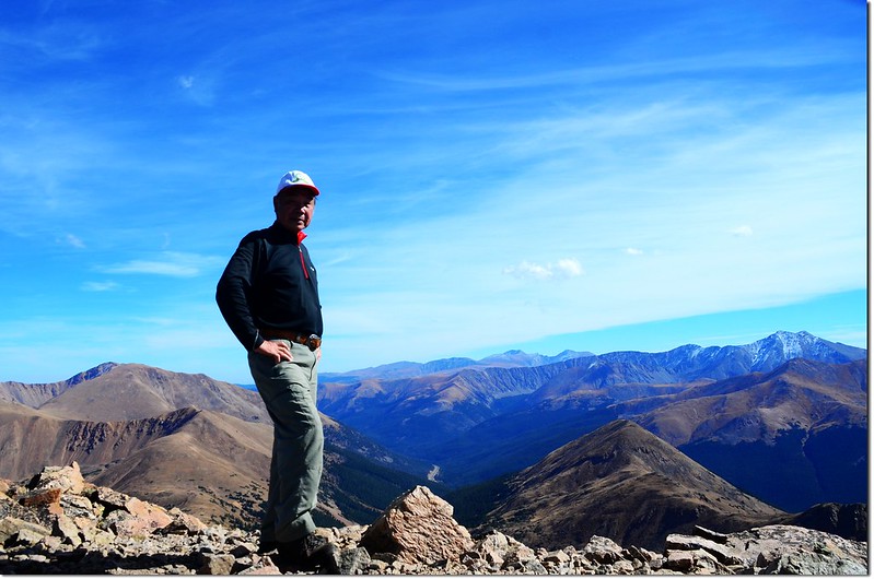
Me on the summit of Pettingell, in the background are Mount Evans et al. 14ers
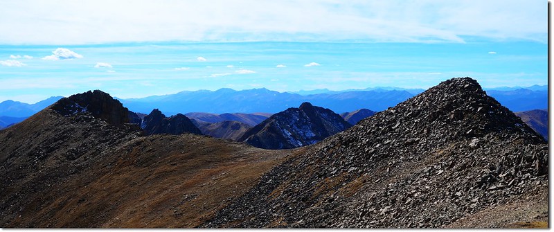
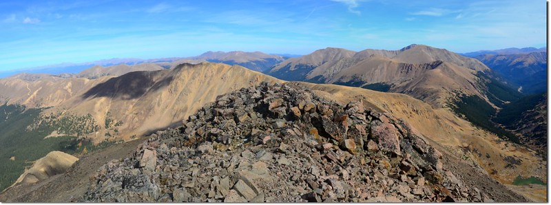
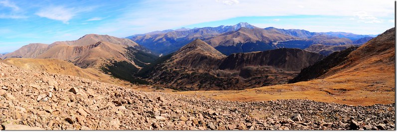
A Panorama from the saddle between point 13,418' & Pettingell's summit

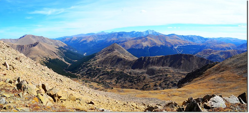
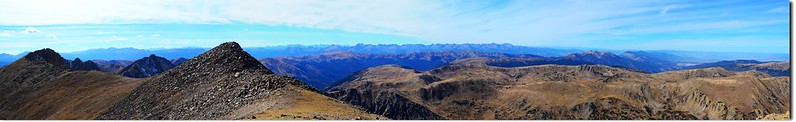
A 360° Panorama from the summit of Pettingell Peak
Pettingell Peak山頂是一呈東北~西南走向狹長形山脊,站在山頂上東北望去眼前的是上禮拜六才登臨的Woods Mountain、Parnassus Peak和緊鄰的Bard Peak;
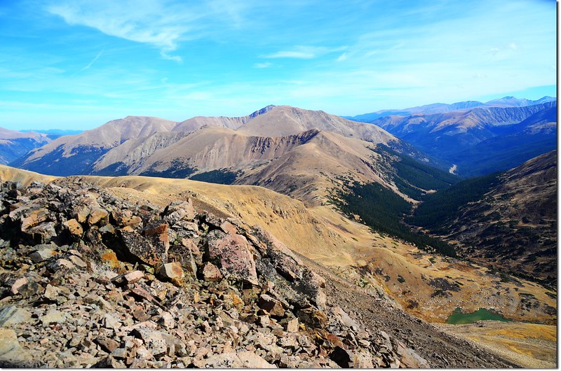
Looking east onto Bard & Parnassus from Pettingell's summit
更遠處是Indian Peaks許多高山,落磯山國家公園第一高峰Longs Peak則遠遠矗立在越過Indian Peaks的地平線上;
Looking northeast onto the Rockies from Pettingell's summit
Looking northeast onto James Peak Wilderness from Pettingell's summit
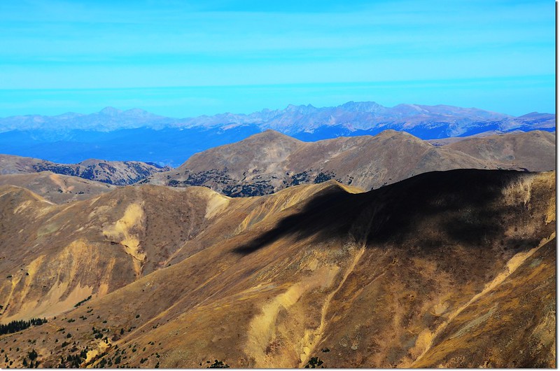
西南方向我找到遠在35哩外的14ers~Mount of the Holy Cross,可惜今年雪來得晚,迄今還看不到她山坡上的十字架;
Looking southwest from Pettingell's summit, Mount of the Holy Cross is in the distance
Looking southwest from Pettingell's summit, Quandary Peak et al. 14ers are in the distance
On the summit, looking southwest
Gore range 就橫列在西邊;
Looking west onto Gore range from Pettingell's summit
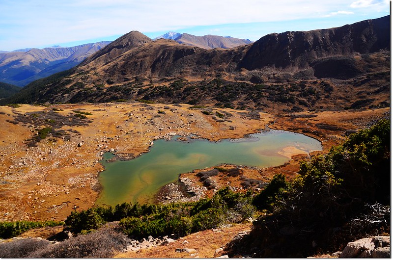
腳底下是Herman Lake,仔細看還看到貝貝在石頭上就如螞蟻般的一點小黑點;
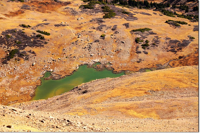
Looking down onto Herman Lake from Pettingell's summit
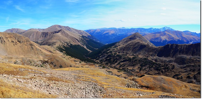
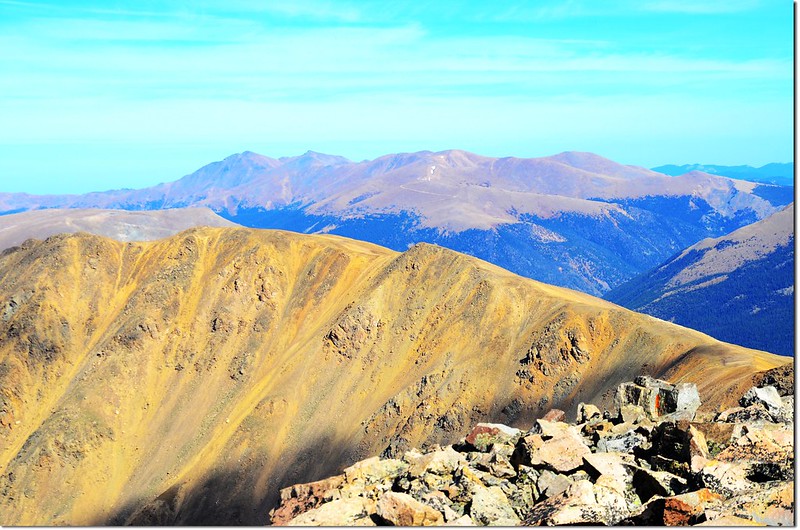
再放眼看去落磯山脈front range 最具代表性的幾座14ers~Mount Evans、Mount Bierstadt、Torreys Peak和Grays Peaks則高高的矗立在東南方。
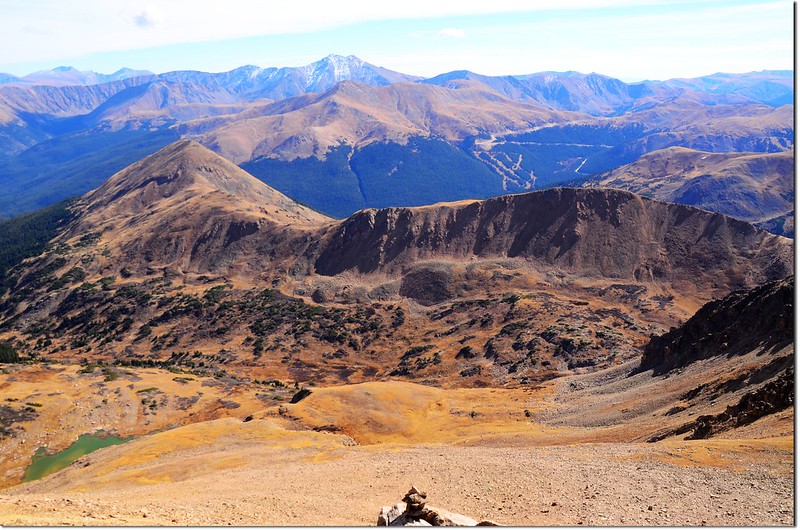
Looking down onto Mount Bethel from Pettingell's summit, Grays,Torreys and Mount Evans are in the distance
Looking southeast from Pettingell's summit
13:50 擔心貝貝自己一人等太久不敢久留,欣賞完美景後下山;下山時是容易多了,但下抵12,500呎(3,810公尺)苔原台地時要注意有些路線是繞道Herman Lake西岸的不同路線,我沒時間不敢前往探路,還是取左循原路下山。
14:30 回到Herman Lake,帶著貝貝在湖邊繞了一圈後在14:55下山。
16:40 返回登山口,貝貝已在湖邊休息了好一陣子,精神不錯;稍作整理後開車返家,途中在Georgetown和Idaho Springs之間因修路塞車塞好久,到家時已近晚上七點鐘。
沒有留言:
張貼留言