今日行程:
Lake Minnewanka→Two Jack Lake→Lake Louise→Marble Canyon→Paint Pots
行程紀要:
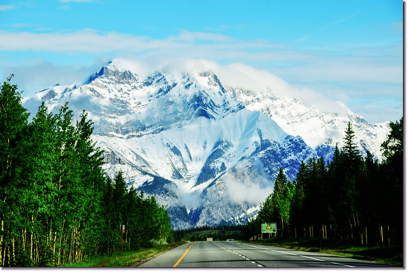
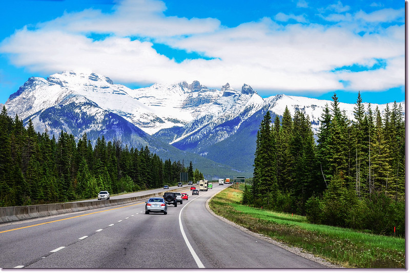
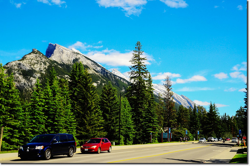
08:50 從Canmore昨晚住宿的旅館出發,輾轉上Trans-Canada Hwy/AB-1 W公路西北行。
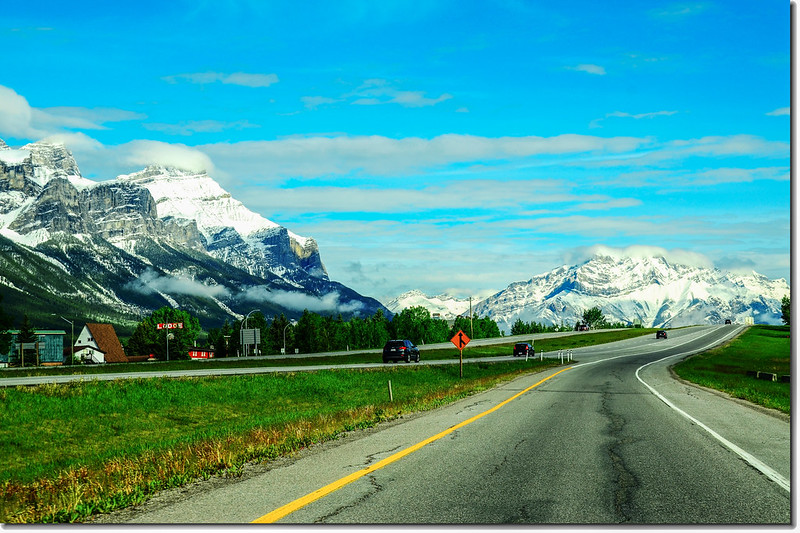
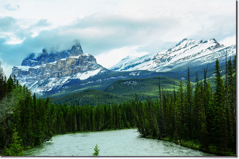
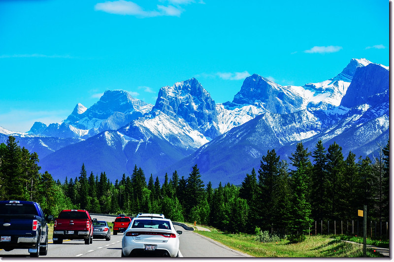
一號公路(Trans-Canada HwyAB-1)沿途雪景
08:55 經過班夫國家公園(Banff National Park)收費管制亭,檢查門票後續往西北行;

Entry station for Banff National Park
Trans-Canada Hwy/AB-1 W公路過了班夫國家公園收費亭續行12.5公里後下交流道,朝Banff/Minnewanka Loop/Boucle Minnewanka前進,一路循著Cascade Pond/Two Jack Lake/Lake Minnewanka的路標走,然後併入Lake Minnewanka Scenic Dr/Range Rd 115B Rd,今天先順路遊覽明尼萬卡湖(Lake Minnewanka)和雙傑克湖(Two Jack Lake)。
一號公路(Trans-Canada HwyAB-1)沿途雪景
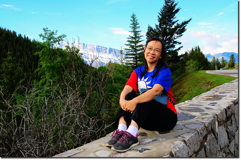
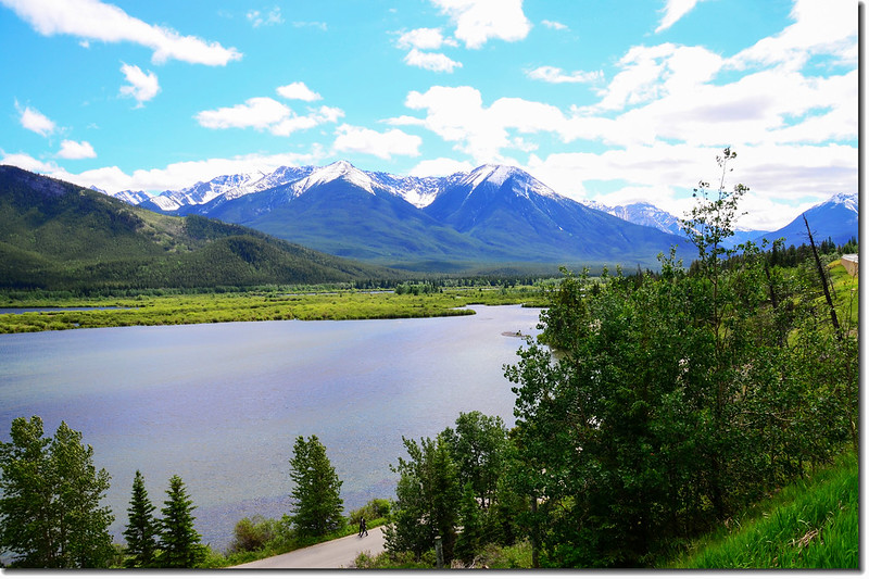
09:15 過Lake Minnewanka大壩後在一空曠地停車,在湖邊欣賞明尼萬卡湖(Lake Minnewanka)風光。
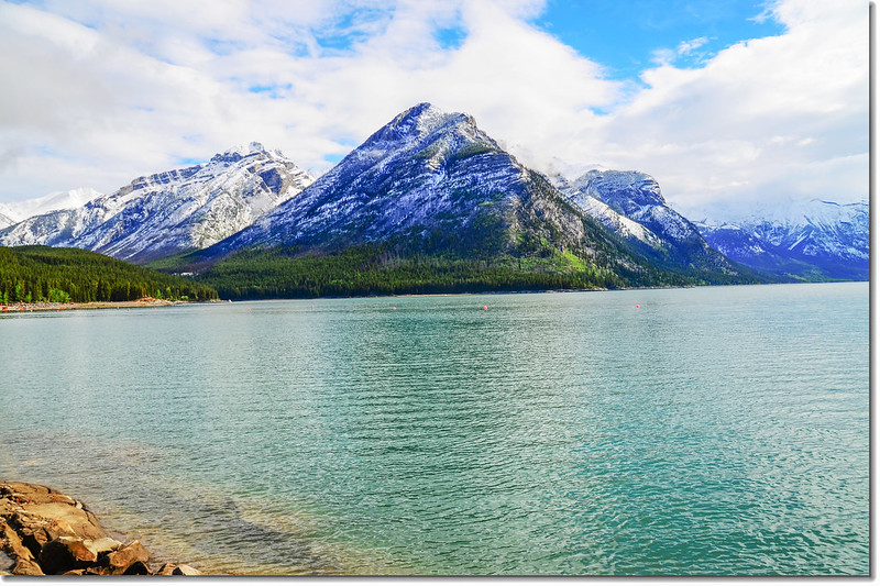
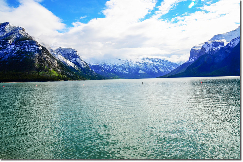
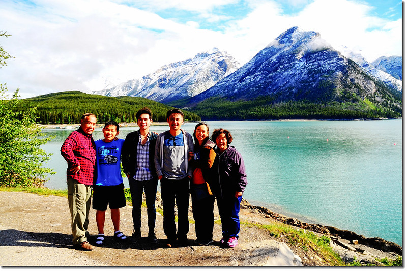
Lake Minnewanka
明尼萬卡湖(Lake Minnewanka)的名字來源於印第安斯通尼族,意思是“水之精靈”。這是一個坐落在加拿大班夫國家公園內東部區域的冰川湖,在班夫鎮東北5公里處,約15分鐘車程便可到達。
明尼萬卡湖水由發源於卡斯卡德山(Cascade Mountain)東側的卡斯卡德河(Cascade River)供給,湖周邊沿岸長達28公里,水深142公尺,使得它成為了班夫國家公園中最大、最深的湖泊。湖水碧波蕩漾,時不時的泛起一層層漣漪,煞是美麗。明尼萬卡山谷是許多野生動物的棲息地,主要包括麋鹿(elk)、北美黑尾鹿(mule deer)、山羊(mountain sheep)和熊(bear)等,美麗的風景和獨特的岩石將山谷圍繞著。
Taken from Lake Minnewanka lakeshore
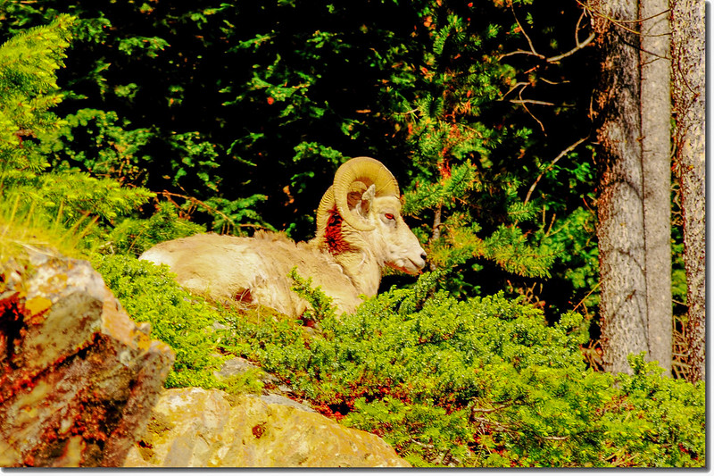
Bighorn sheep at Lake Minnewanka lakeshore
在Lake Minnewanka湖邊停留一陣子後車子續往前行,不久抵達雙傑克湖(Two Jack Lake)湖邊。
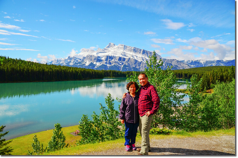
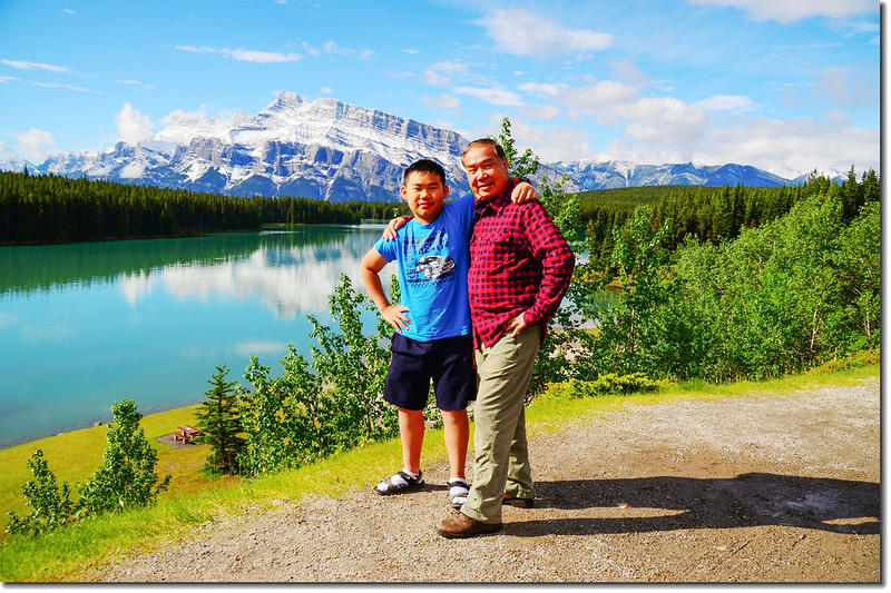
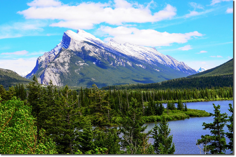
09:30 抵達雙傑克湖(Two Jack Lake),我們在公路旁一湖邊空地拍照,背景就是海拔2949公尺的Mount Rundle。
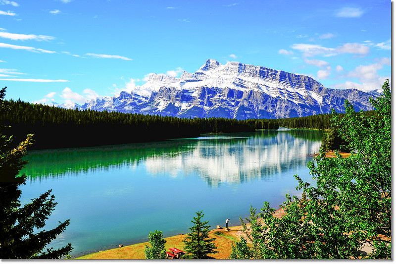
Two Jack Lake, in the background is the Mount Rundle
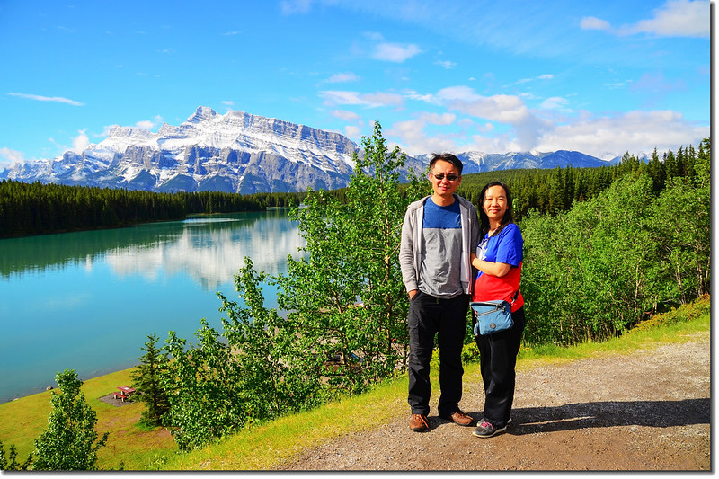
Two Jack Lake, in the background is the Mount Rundle
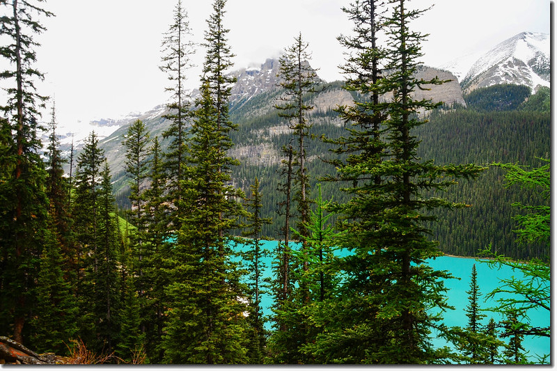
雙傑克湖(Two Jack Lake)緊鄰明尼萬卡湖(Lake Minnewanka),湖水呈藍綠色,湖中有一座小島,類似Jasper National Park中Maligne Lake的精靈島(Spirit Island)。相傳十九世紀末,這裡有兩個名字都叫做傑克(Jack)的好朋友,一個叫Jack Stanley,在旁邊的明尼萬卡湖做小船業務;另一個叫Jack Watters,在附近Bankhead煤礦工作,兩人經常在這裡的湖畔相聚,於是人們就把這個湖叫做雙傑克湖了。
離開Two Jack Lake後順著Lake Minnewanka Scenic Dr行我們又上了1號國道(Trans-Canada Hwy/AB-1 W)續往西行,行約10公里後就在Castle Junction之前本來要進去班夫國家公園(Banff National Park)的Johnston Canyon健行,但竟然封閉,管制人員說這幾天風雨樹木倒下壓毀露營區帳篷,封閉搶修中,我們只好沿著Trans-Canada Hwy/AB-1 W西北行再到Lake Louise走走。
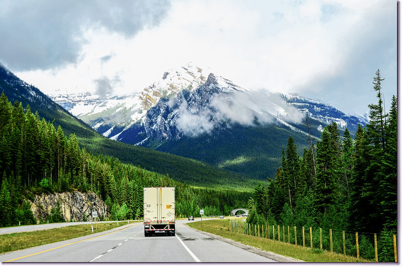
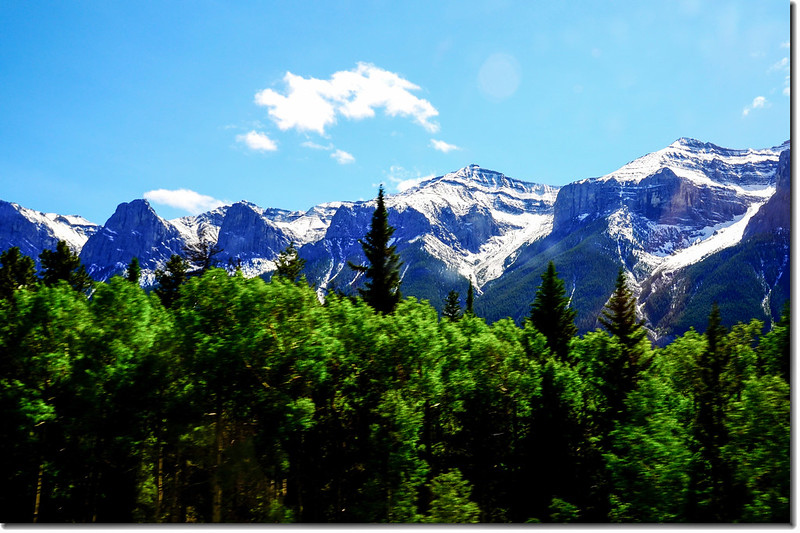
一號公路(Trans-Canada HwyAB-1)沿途雪景
在Banff附近的一號公路上可見到幾座專為野生動物建造的陸橋,方便野生動物穿越高速公路!
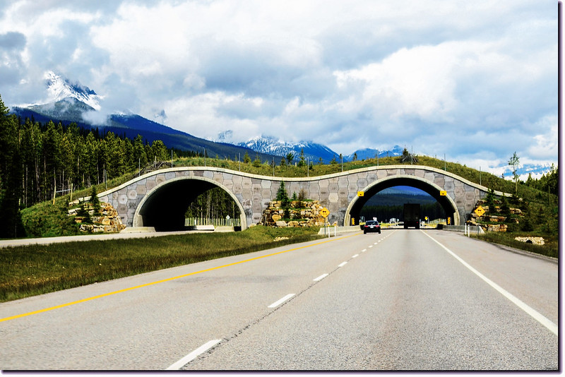
An animal bridge at Banff National Park in Alberta, Canada
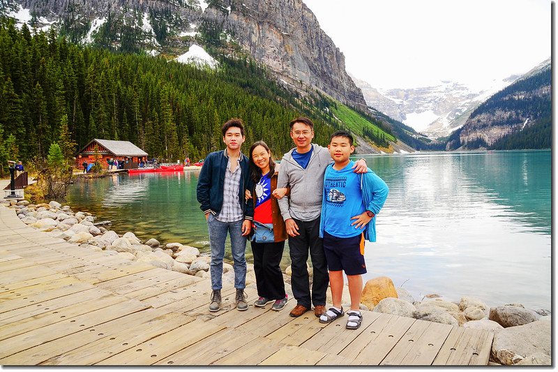
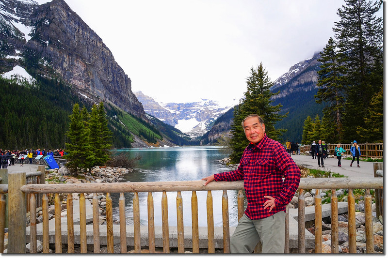
10:41 抵達Lake Louise;
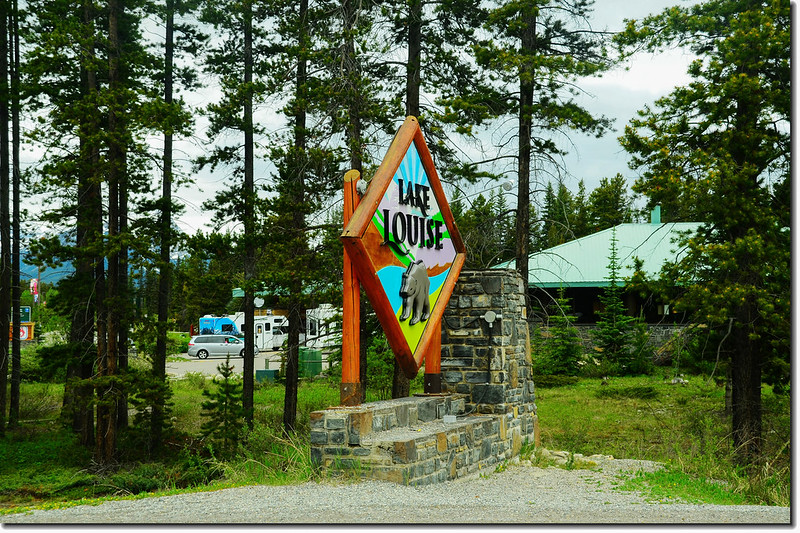
Sign into Lake Louise
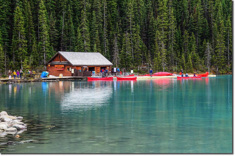
此時天氣晴朗些已可清楚看清湖邊四週景物及西南端的維多利亞山(Mount Victoria)及冰川;在湖邊稍作停留後家人一起去走露易絲湖東南邊的一條登山步道~Fairview Lookout Trail。
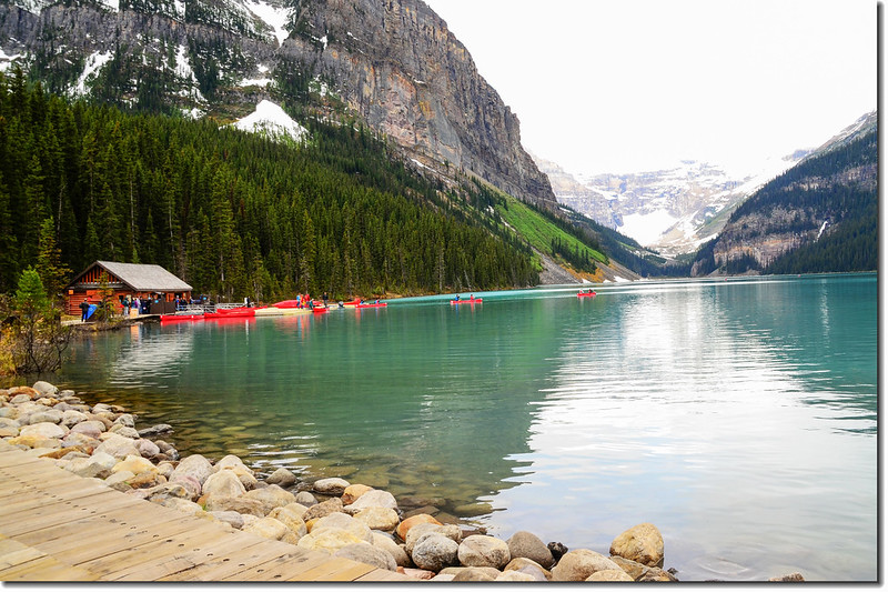
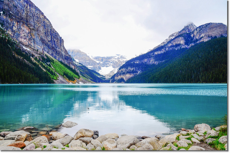
Lake Louise
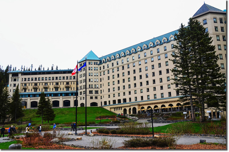
Chateau Lake Louise
10:55 從Fairview Lookout Trailhead出發,根據登山口標示牌標示單程1.8公里,爬升約125公尺,簡單易行的一條步道,只是部分路段積雪未融,行走還是要小心。
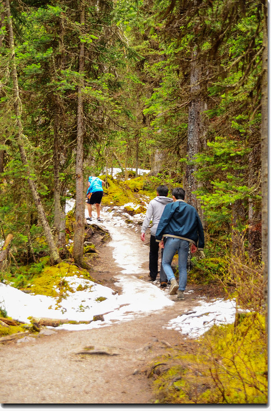
Fairview Lookout trail
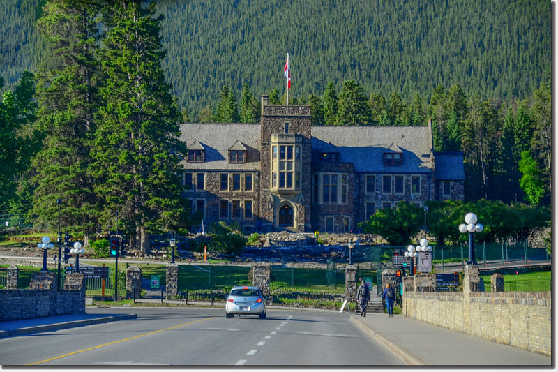
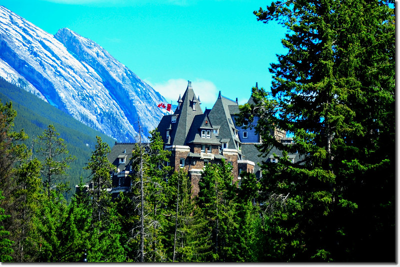
11:15 抵達Fairview Lookout,在觀景點可俯瞰露易絲湖碧綠寶石般的湖面及湖岸的城堡飯店(Chateau Lake Louise)
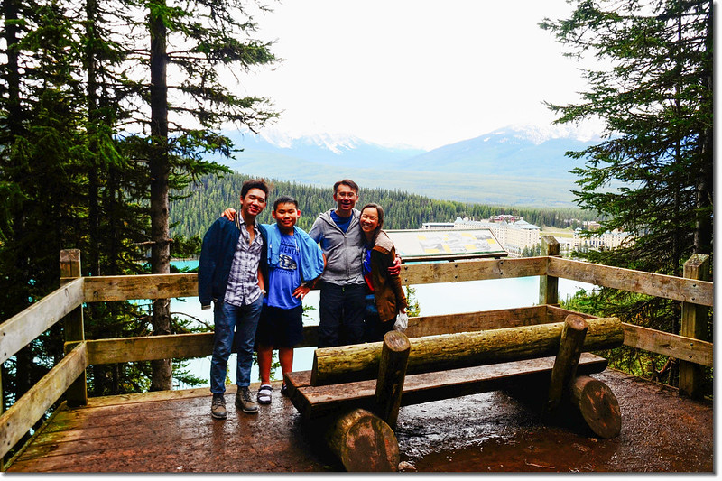
Lake Louise Fairview Lookout
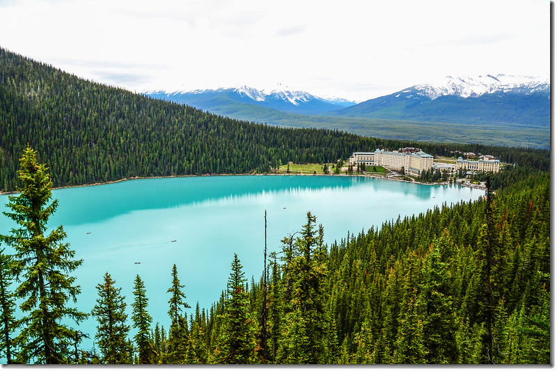

Overlooking onto Lake Louise from Fairview Lookout
11:55 回到Fairview Lookout Trailhead後再驅車前往Kootenay National Park走走昨天因雨而取消的步道。
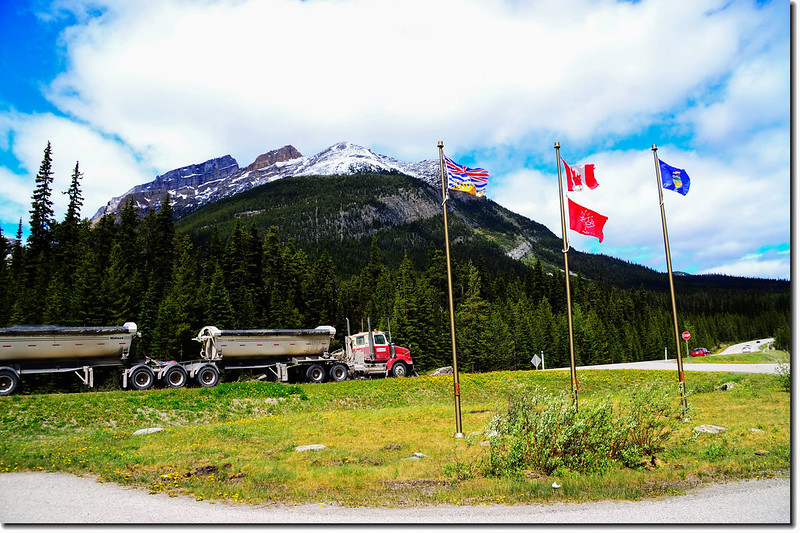
由露易絲湖出來後接到1號公路(Trans-Canada Hwy/AB-1 W)東南行,行約24.5公里後在50出口下交流道(Castle Junction),朝AB-93 S前進,行約10公里抵達硃砂隘口(Vermilion Pass);
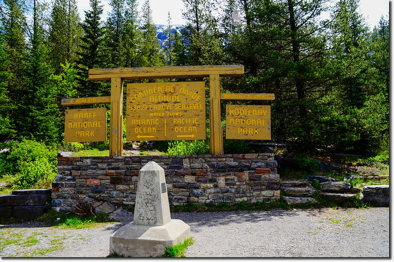
Continental Divide, Vermilion Pass
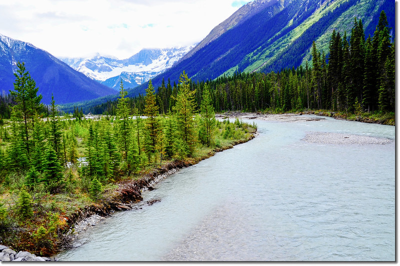
硃砂隘口標高1651公尺,景點處的主要標誌是三面旗幟和一個水泥界碑,加拿大國旗居中,兩側分列英屬哥倫比亞省(卑詩省)與阿爾伯達省的省旗。這裡既是兩省的分界線,也是班夫國家公園(Banff National Park)與庫特尼國家公園(Kootenay National Park)的分界線,同時也是落磯山脈大陸分水嶺(Continental Divide)的一個主要節點,界碑以東,河水流經弓河(Bow River)、沙斯卡奇萬河入大西洋;界碑以西,河水流經硃砂河(Vermilion River)、庫特尼河(Kootenay River),匯集哥倫比亞河入太平洋。
過了大陸分水嶺(Continental Divide)再西南行約7公里便抵達Marble Canyon Trailhead,登山口停車場在道路右(北)側。
13:25 抵達大理石峽谷(Marble Canyon)登山口停車場,登山口就在停車場北側。
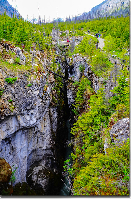
大理石峽谷是由冰河長期切割石灰石所形成的峽谷,國家公園設有可環繞峽谷一圈的步道,登山步道全長來回約1.6公里,慢慢走大約一小時之內便可完成,沿途共有七座小橋樑迂迴穿越狹谷,我們沿著步道上行,沿途眼看的是深邃的峽谷,耳聽的是轟隆隆的湍急流水聲。
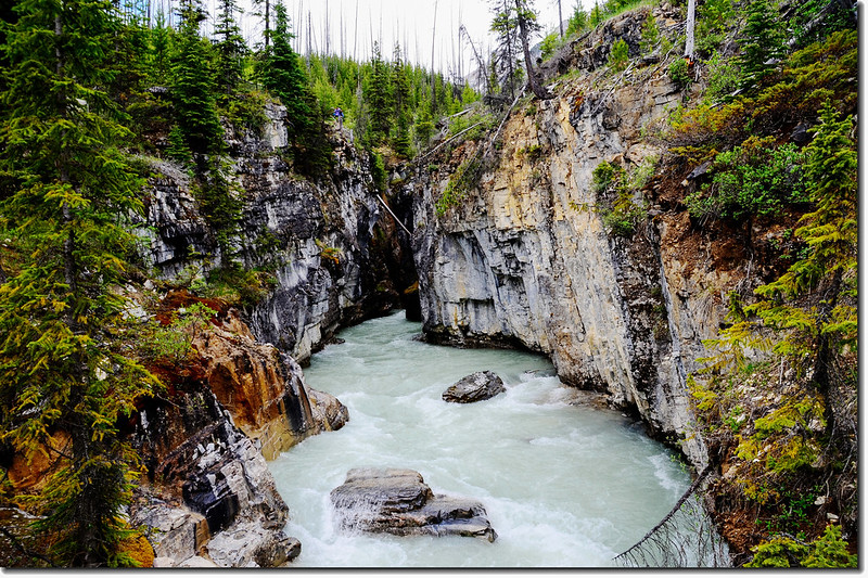
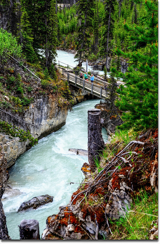
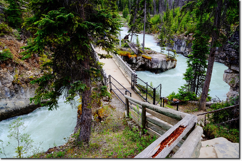
Marble Canyon, Kootenay National Park
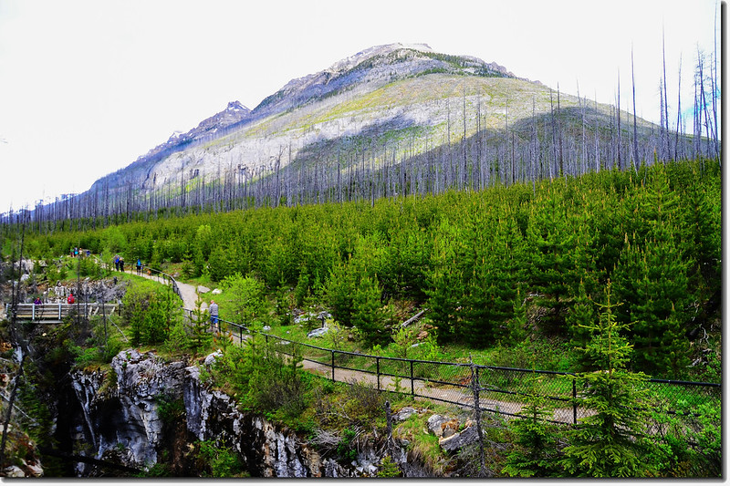
步道兩側的燒焦枯木是2003年的夏天的一場森林大火,整整40天的肆虐所造成的結果,如今枯木間已長出一、兩公尺高的新苗。
13:55 抵達步道終點,在終點前斜坡上擺放有兩張紅椅子;原來加拿大國家公園自2014年起便推動所謂“紅椅子計畫”~~
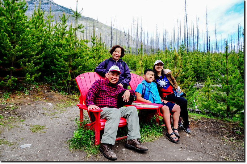
Red Chairs at Marble Canyon, Kootenay National Park
為了讓遊客在繁忙的行走中停下來小歇片刻,也為了讓遊客用心感受美景,Parks Canada在加拿大眾多國家公園裡設置了用可回收塑料做成的紅椅子,這些椅子一般都會面對絕佳的風景,當這些椅子成為主角時,總能拍出讓人驚喜的畫面。坐在椅子上一邊曬太陽一邊放空也是不錯的主意,椅子面對的美麗風景一定會治愈你心中所有的負能量。
這些椅子有的被放置在很顯眼熱門的地方,有的卻在一些幽深的小徑,需要你用心發現。
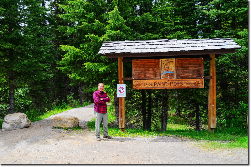
14:20 回到Marble Canyon 登山口,開車續往西南行2.6公里便抵達路右(北)的Paint Pots Trailhead。
Paint Pots Trailhead
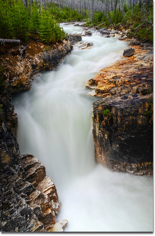
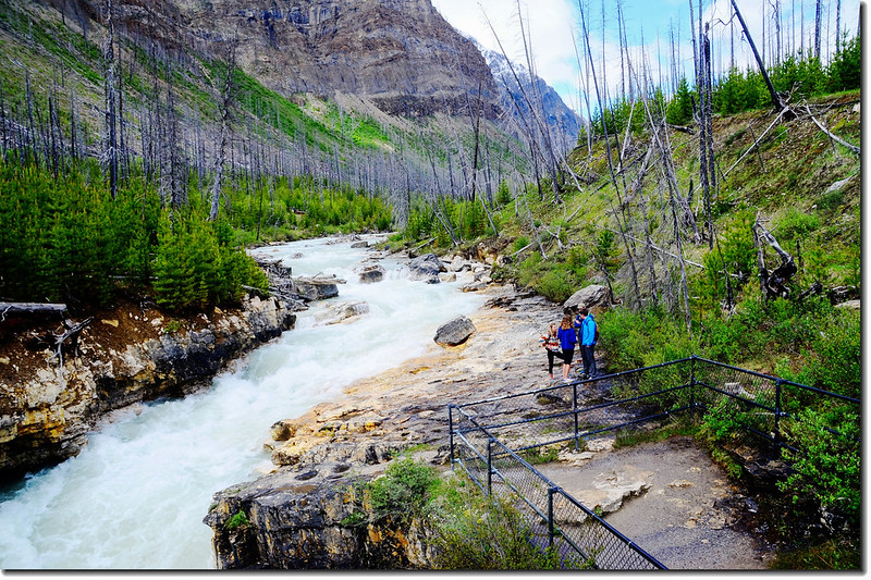
14:33 我們從Paint Pots Trailhead出發,步道寬敞平坦好走,單程約1公里,中途有一座新建的橋樑橫跨Vermilion River,慢慢走10分鐘左右就抵達Paint Pots。
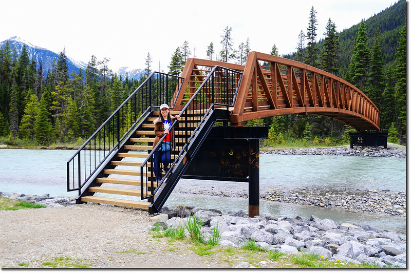
The bridge across the Vermilion River in Paint Pots Trail
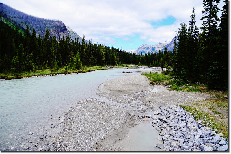
Vermilion River
14:42 抵達Paint Pots。
Paint Pots
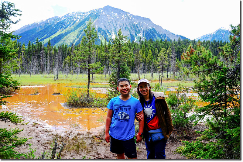
Paint Pots週遭是遍地的紅土以及紅色的河水,其實Paint Pots是名副其實的礦泉群,由三個相距不遠的礦泉池組成,這些礦泉中湧出的冰冷礦泉水富含鐵礦物質,每個池口的邊緣形成逐漸增高的輪緣,流淌的泉水則將土壤染成紅褐黄等各種顏色。
14:52 回到Paint Pots 登山口後車子續往西南開了幾公里,在兩處展望點欣賞景色;
Mountain view from AB-93 Hwy
Mount Rundle from AB-93 Hwy
Mountain sign, Kootenay National Park, Alberta, Canada
賞景後再回頭循原路回到Castle Junction右轉接1號公路(Trans-Canada Hwy/AB-1 W)東南行,進班夫(Banff)小鎮逛一圈後於16:30回到Canmore 進住今晚的住宿旅館Canadian Rockies Chalets(1206 Bow Valley Trail, Canmore, AB T1W 1N6加拿大)。
一號公路(Trans-Canada HwyAB-1)沿途雪景
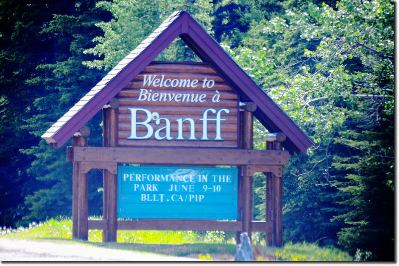
Welcome to Banff Entrance Sign National Park in Canada
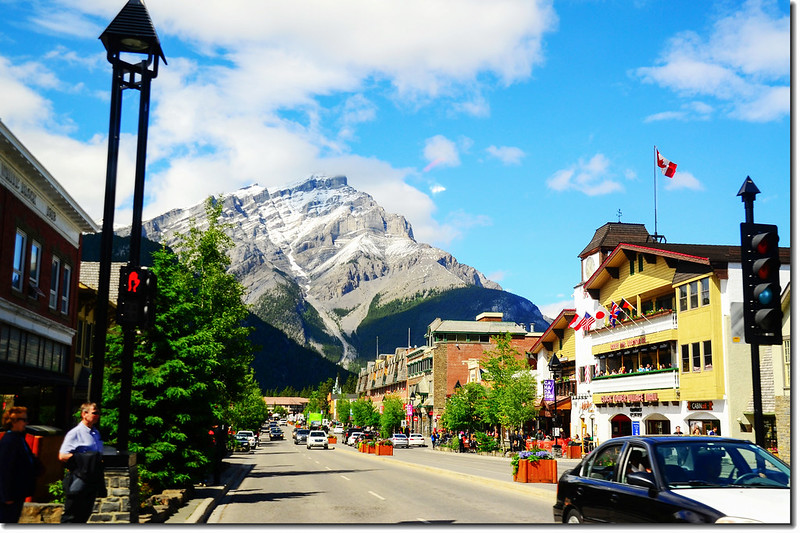
Town of Banff
一號公路(Trans-Canada HwyAB-1)沿途雪景
★ 今日行車約250公里(156哩)
行車路線:
→點此看放大圖
沒有留言:
張貼留言