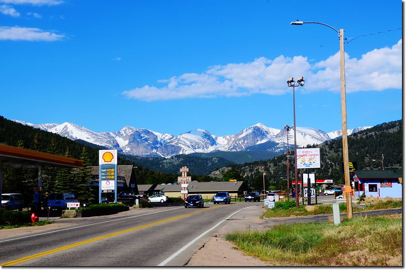
Viewing Rocky Mountains from Estes Park
上週本來要和家人進去落磯山國家公園走一趟Trail Ridge Road,該條高山公路往年都是在The Memorial Day假期前開放通行,但今年由於開放前在落磯山國家公園的暴風雪,導致Trail Ridge Road的開放延遲,直至前幾天才開放,昨天趁早上天氣還不錯決定上山走走。
Trail Ridge Road
Trail Ridge Road是指穿越科羅拉多洛磯山國家公園內的US 34號公路;US 34公路東自Estes Park起進入落磯山國家公園內,並且跨越美國大陸落磯山脈分水嶺,西至Grand Lake的這一段道路即是Trail Ridge Road,它是遊客最常走的路線,同時也是美國境内最高的雙向柏油路(The highest paved continuous motorway in the United,意指道路兩端都有出口連接不同市鎮)。
美國境內最高的鋪設有水泥或瀝青路面道路是The Mount Evans Scenic Byway,長28哩的Mount Evans公路, 是全美汽車能通的最高路段及國家森林風景道路,由Idaho Springs一路往上爬到高度14,264呎的Mount Evans山頂,但它必須原路折回,不是如落磯山國家公園內Trail Ridge Road的雙向柏油路(continuous motorway );Trail Ridge Road自東邊的Estes Park(海拔7,522呎/2,293公尺)進入公園後即迎向落磯山脈一路攀升,及至最高點達海拔12183呎(3,713公尺)後再往西南驟降再轉南下,直抵Grand Lake(海拔8,437呎(2,572公尺),續往南行可經由US 40公路接70號州際公路。許多遊客喜歡在此附近徘迴,環視群峰,苔原上偶而可碰到成群的Mule deer。
此條道路通常在陣亡將士紀念日(The Memorial Day-五月最後一個禮拜一)前後全線開放通車,直至十月中雪季來臨才封閉;今年則因天候異常,五月中旬的大雪導致原開放通車的計畫延誤,直至前一兩天才全線通車。
----------------------------------------------------------------------------------------------------------
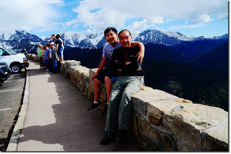
Trail Ridge Road沿途景觀
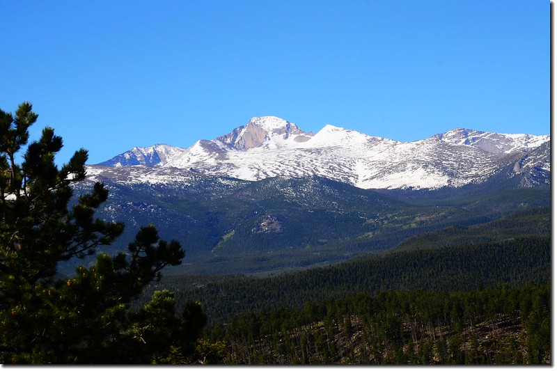
Viewing Longs Peak from Trail Ridge Road
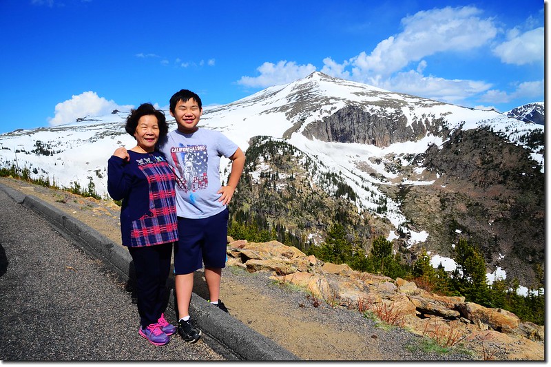
Trail Ridge Road
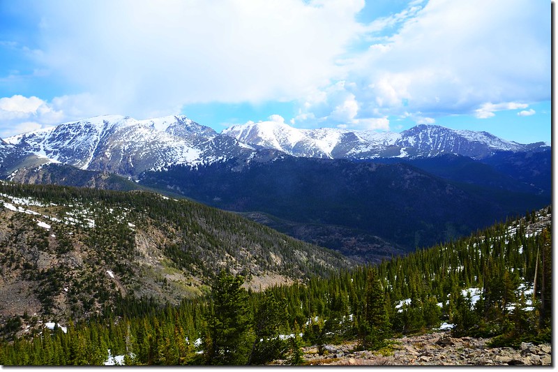
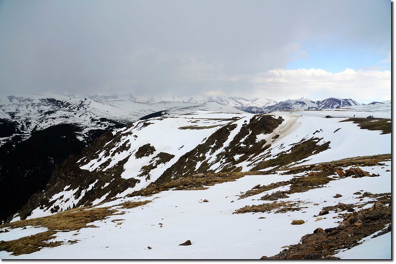
Viewing the Continental Divide from Forest Canyon
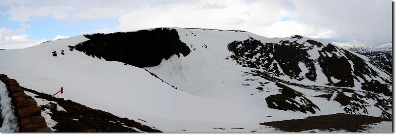
Lava Cliffs
Viewing Mummy Range from Trail Ridge Road
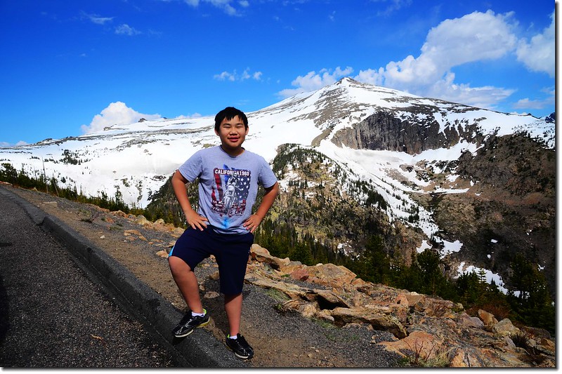
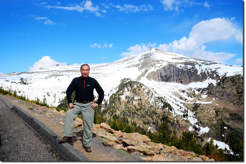
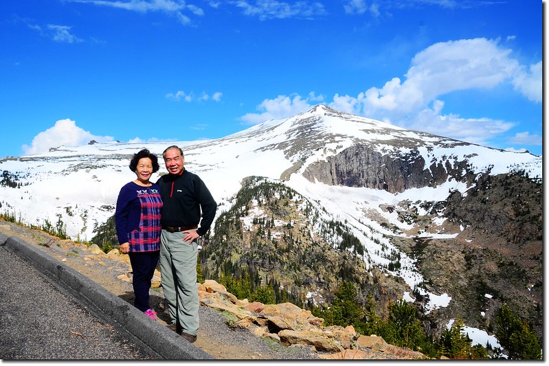
Trail Ridge Road, with Sundance Mountain in the Background
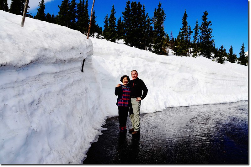
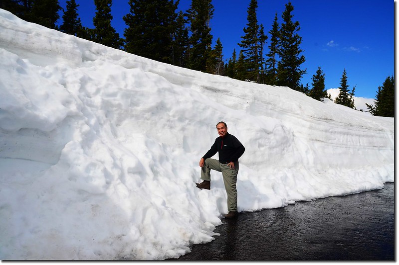
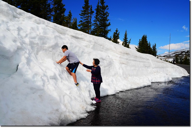

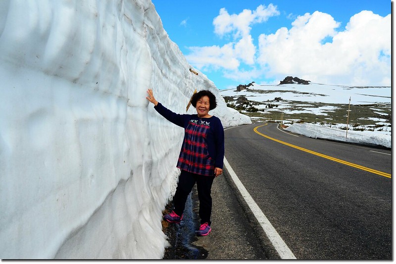
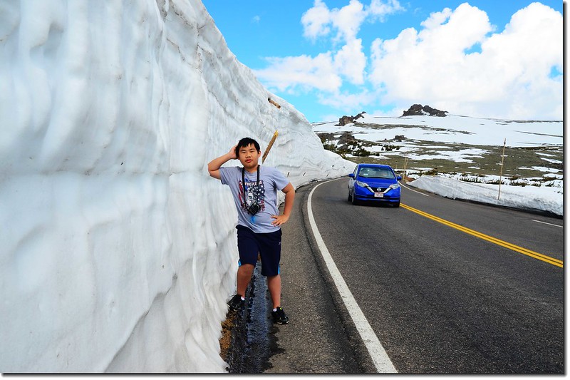
Snow wall along Trail Ridge Road
Trail Ridge Road
Rainbow Curve Overlook
Rainbow Curve Overlook
Viewing Horseshoe Park from Rainbow Curve
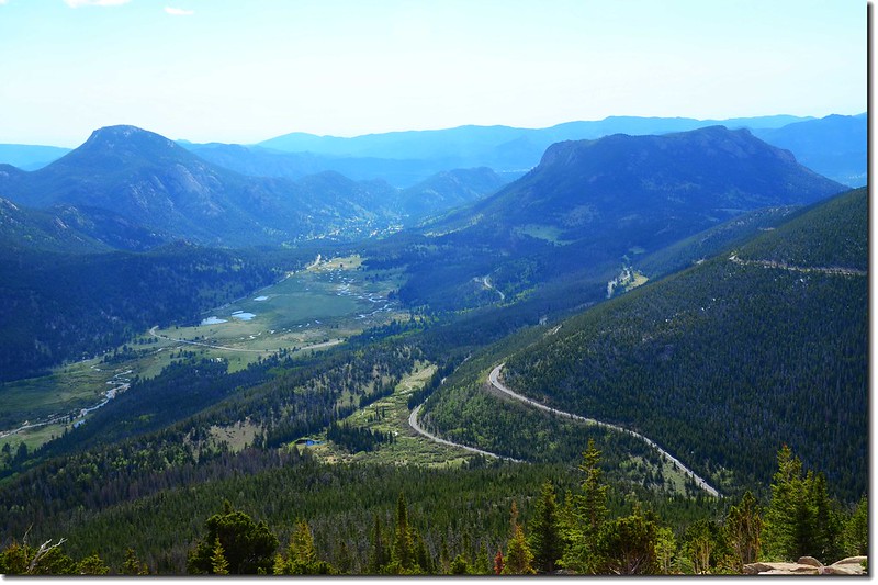
Forest Canyon Overlook
Forest Canyon Overlook
Viewing Longs Peak from Forest Canyon
Viewing Longs Peak from Forest Canyon
Taken from Forest Canyon , with Longs Peak in the Background


Jacob Jumping Over Longs Peak
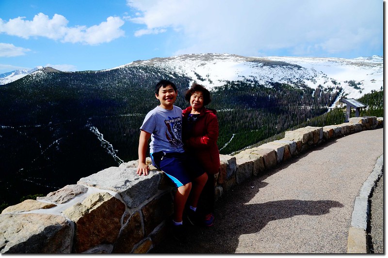
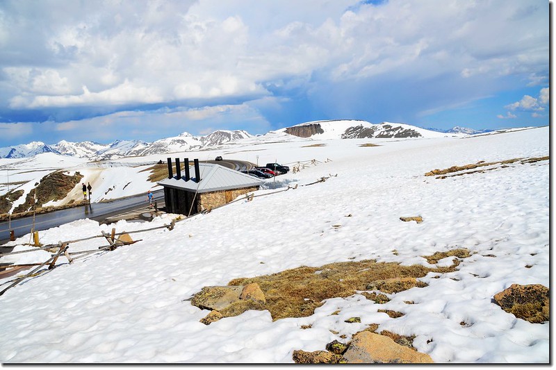
Alpine Visitor Center(海拔11,796 呎/3,595公尺)
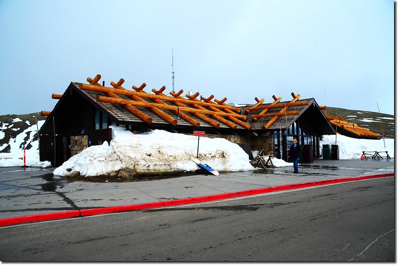
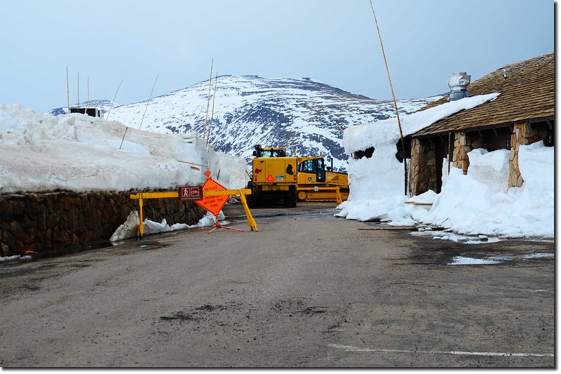
Alpine Visitor Center
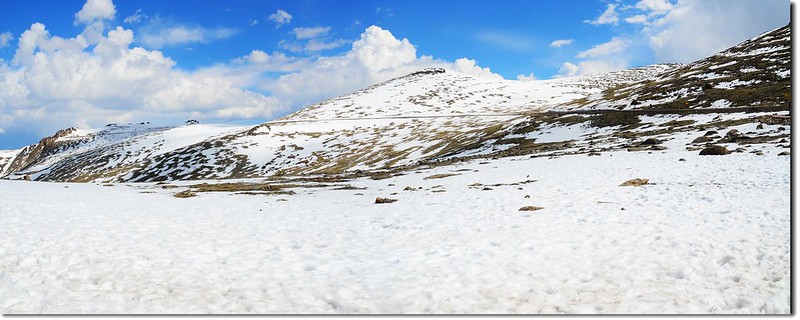
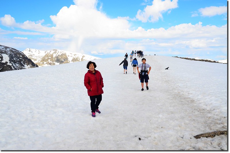
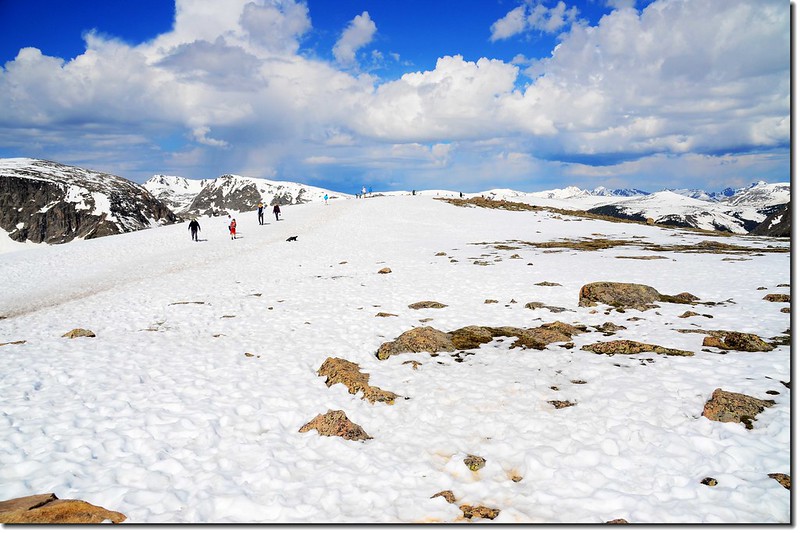
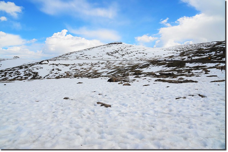
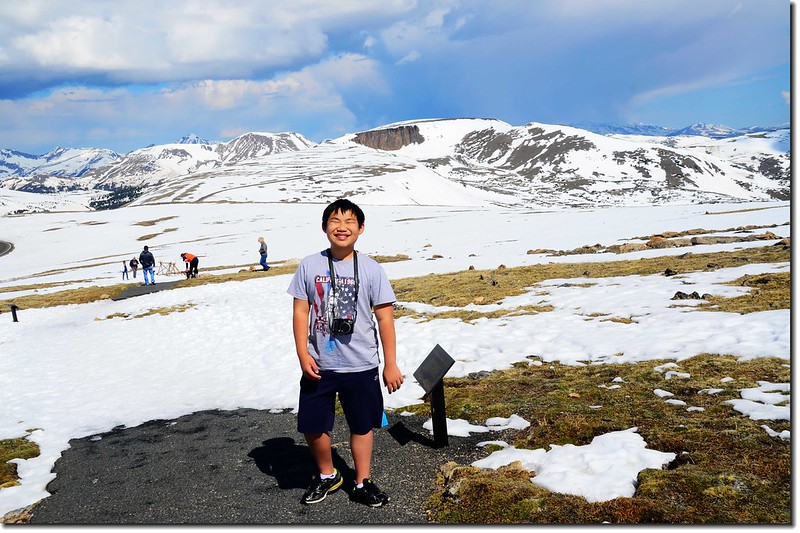
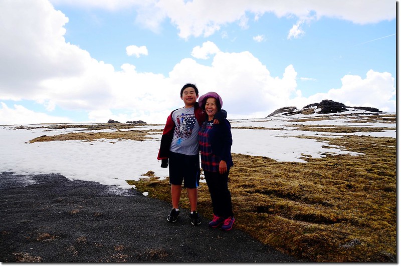
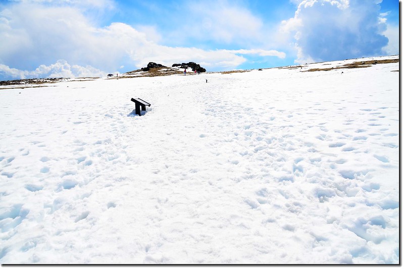
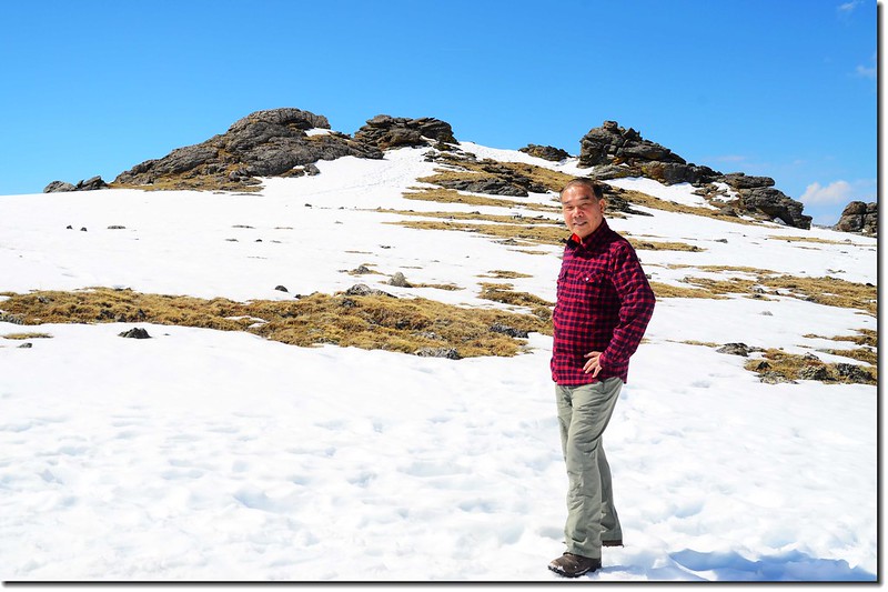
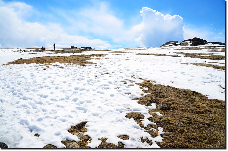
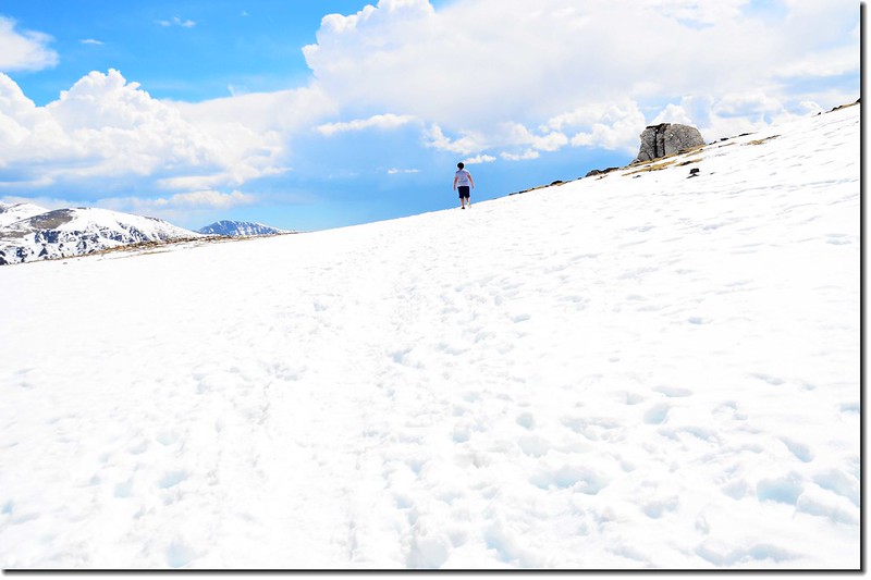
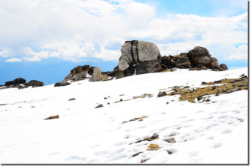
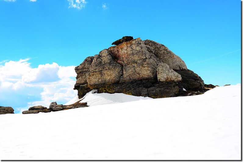
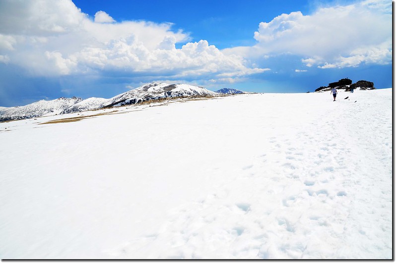
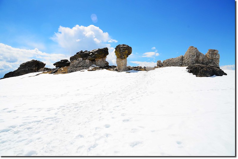
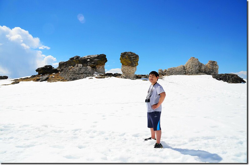
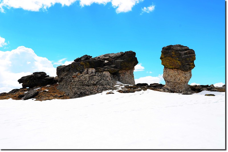
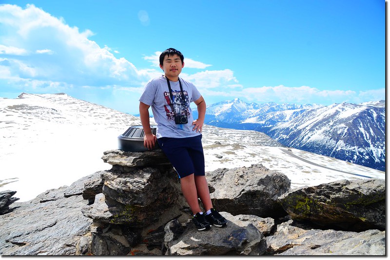
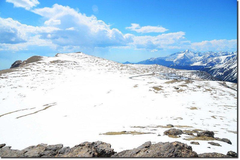
Toll Memorial Trail
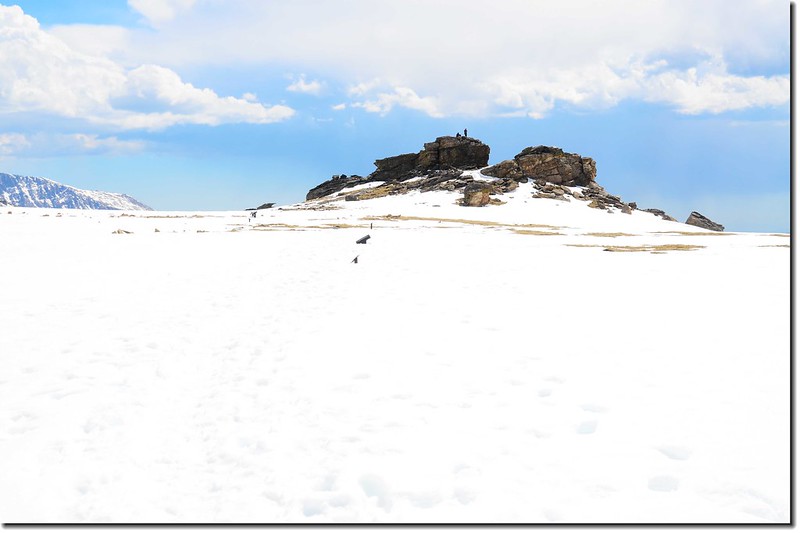
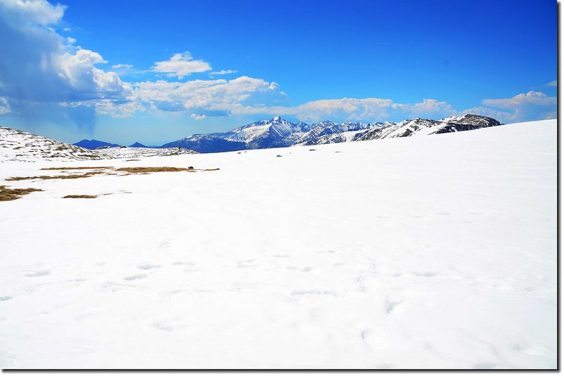
位在落磯山國家公園內Trail Ridge Road頂端的Toll Memorial Trail全長約二哩(來回)左右,海拔在12,100~12,330呎之間(3,688~4,063公尺),步道兩旁盡是苔原植物,矗立步道沿途之巨岩造型特殊;該步道距離雖不長,但因高海拔又積雪未化,走來也不輕鬆。
Toll Memorial Trailhead
Toll Memorial Trail
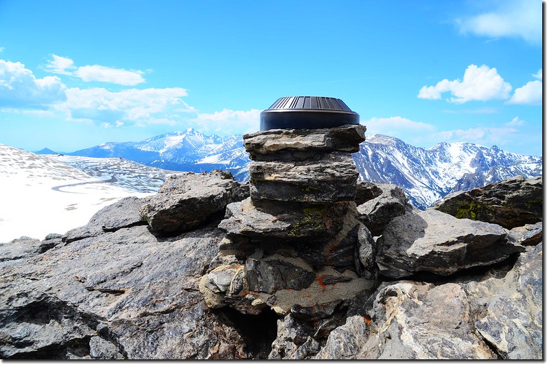
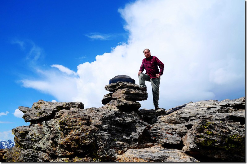
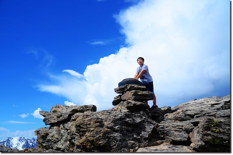
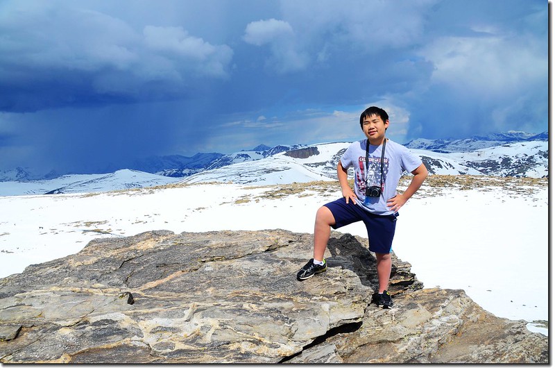
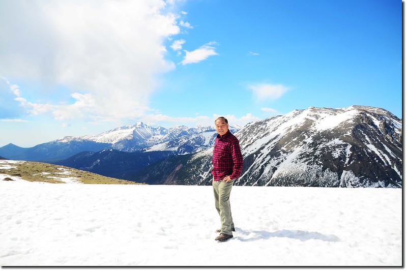
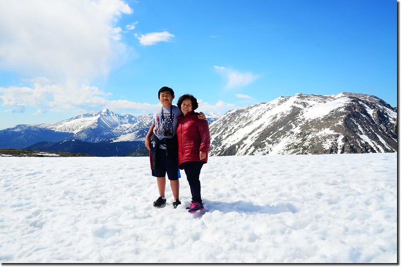
Toll Memorial Trail summit
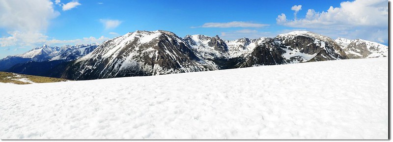
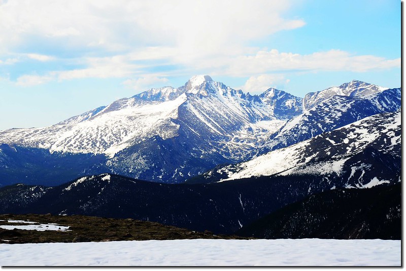
Viewing Sundance Mountain & Longs Peak from Toll Memorial Trail
今天在公園內遇見的野生動物~~Elk和Moose
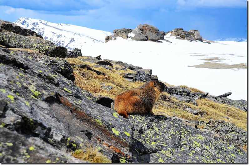
marmot
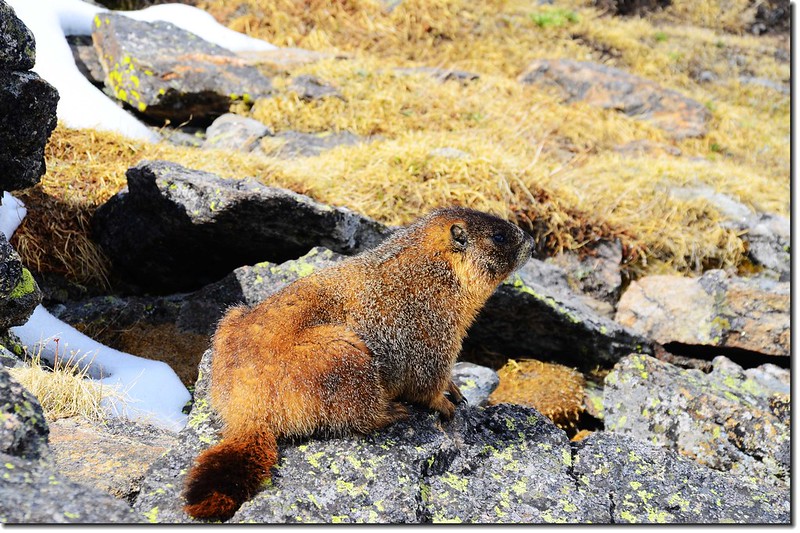
marmot
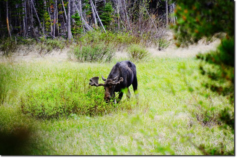
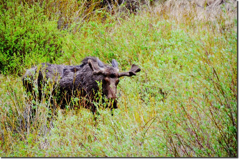
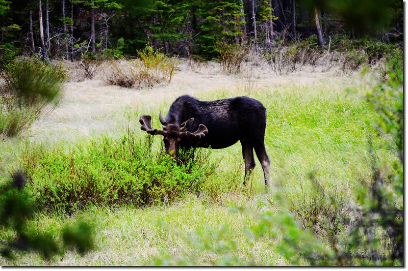
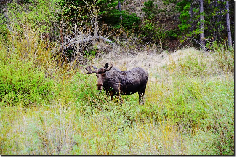
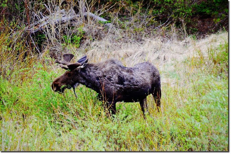
moose
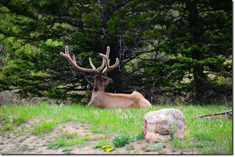
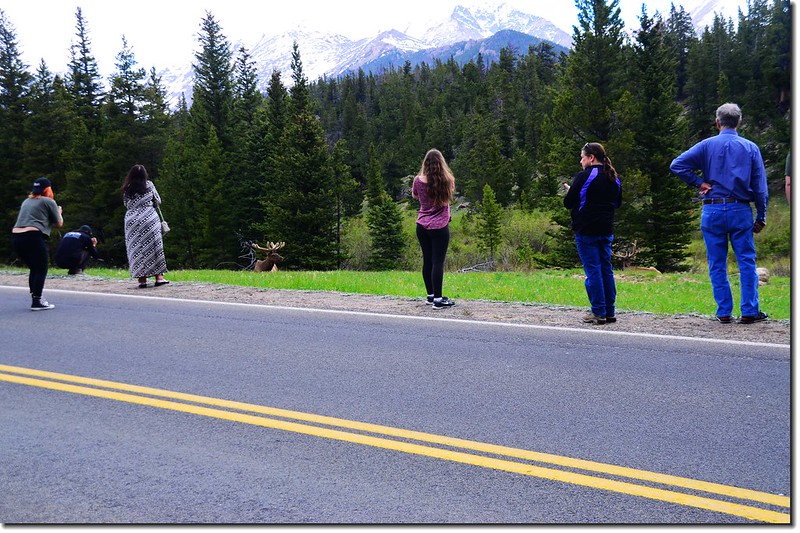
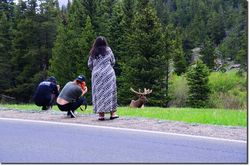
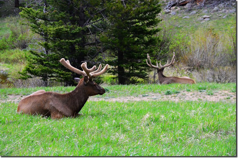
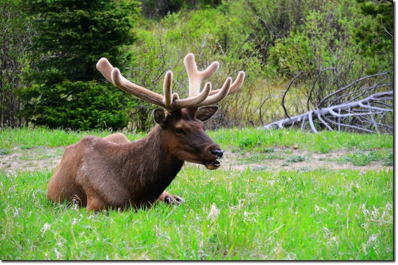
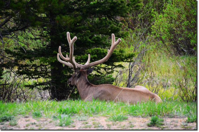
elk
沒有留言:
張貼留言