週六(3)與幾位旅居丹佛的台僑去登山,該團體是Tony陳聰胤會計師介紹我參加:當天徐領隊約山友於早上八點鐘在Golden的JEFFCO Courthouse Parking lot集合(100 Jefferson County Pkwy),然後共乘前往Hell’s Hole Trail。
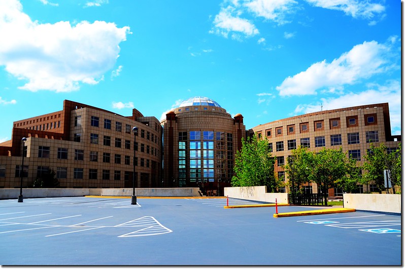
Jefferson County Courthouse in Golden
Jefferson County Courthouse in Golden
Hell’s Hole Trail登山口位在Idaho Springs西南邊約10哩處的West Chicago Creek Campground旁,步道全長約4.1哩,爬升高度約2000呎(610公尺)左右,算是一條蠻平易近人的登山步道,我三年前曾單獨去攀登過(Hell's Hole Trail登山健行(2014.08.11));步道前段一哩左右是白楊木(Aspen)林,中段兩哩多則在松林間穿行,不到一哩路則是漫遊在Gray Wolf Mountain山腳下的河谷中,步道終點是一大片草原及柳樹叢(Willow grove),終點附近西側山坡有一片Bristlecone pines,東側河谷則有一稱為Hells Hole Tarn的河中小湖,看地圖真正的Hells Hole應該是介於Gray Wolf Mountain與12,988峰間的山谷,但因該處無步道抵達,所以一般登山客都只抵達步道終點處的大草原。
此趟登山由於積雪未退,我們勉強走到三哩多要下切到Gray Wolf Mountain山腳下的河谷中時路徑已很難找,加上天空烏雲漸起,為安全起見徐領隊乃宣布下撤,全員於下午兩點二十分安全返抵登山口。
--------------------------------------------------------------------------------------------------------
登山步道:Hell’s Hole Trail
登山口:Hell’s Hole Trailhead(海拔9,700呎/2,957公尺 )
步道終點:Hell’s Hole tarn(海拔11,572呎/3,527公尺 )
爬升高度:約2,000呎/610公尺
步道全長:8.2哩/13.12公里 (round trip)
--------------------------------------------------------------------------------------------------------
登山步道:Hell’s Hole Trail
登山口:Hell’s Hole Trailhead(海拔9,700呎/
步道終點:Hell’s Hole tarn(海拔11,572呎/
爬升高度:約2,000呎/
步道全長:8.2哩/
實際登山里程:約7哩/11.2公里
登山時間:5小時30分
--------------------------------------------------------------------------------------------------------
行車資訊:
由JEFFCO Courthouse Parking lot開車上I-70州際公路西行,約20.3哩後在Idaho Springs由Exit 240出口左轉西南行即為Mount Evans Scenic Byway(CO 103)公路,沿CO 103公路行約6.5哩後在一急左轉彎處右岔改走West Chicago Creek Road;
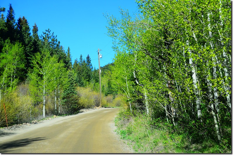
West Chicago Creek Road
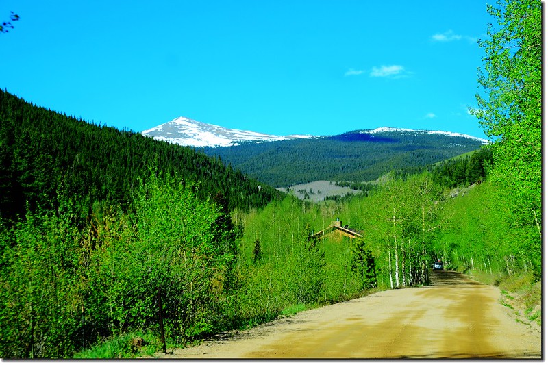
Sugarloft Peak as seen from West Chicago Creek Road
此路為有點顛簸之土石路,約3哩後抵達West Chicago Creek Campground旁的行車終點停車場,此為Hell’s Hole Trailhead停車場。
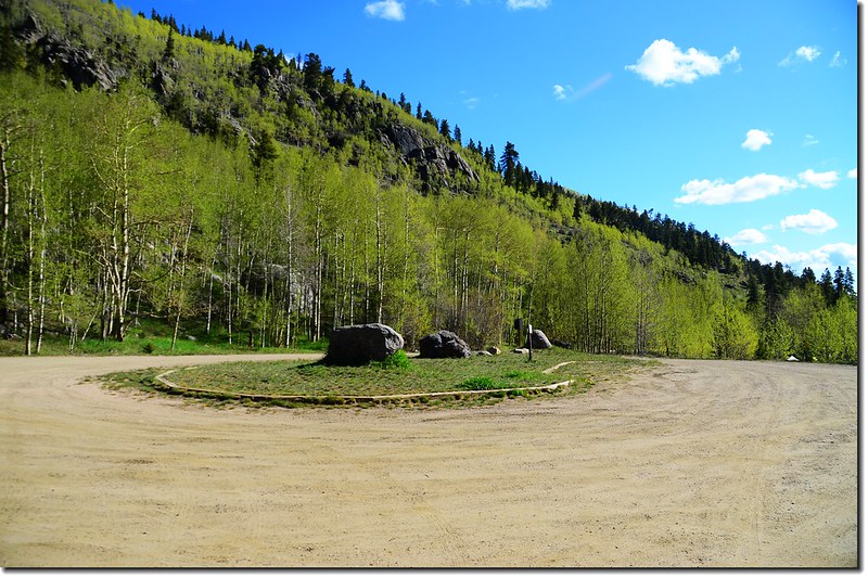
Hells Hole trailhead parking lot
--------------------------------------------------------------------------------------------------------
行車資訊:
由JEFFCO Courthouse Parking lot開車上I-70州際公路西行,約20.3哩後在Idaho Springs由Exit 240出口左轉西南行即為Mount Evans Scenic Byway(CO 103)公路,沿CO 103公路行約6.5哩後在一急左轉彎處右岔改走West Chicago Creek Road;
West Chicago Creek Road
Sugarloft Peak as seen from West Chicago Creek Road
此路為有點顛簸之土石路,約3哩後抵達West Chicago Creek Campground旁的行車終點停車場,此為Hell’s Hole Trailhead停車場。
Hells Hole trailhead parking lot
步程簡述:
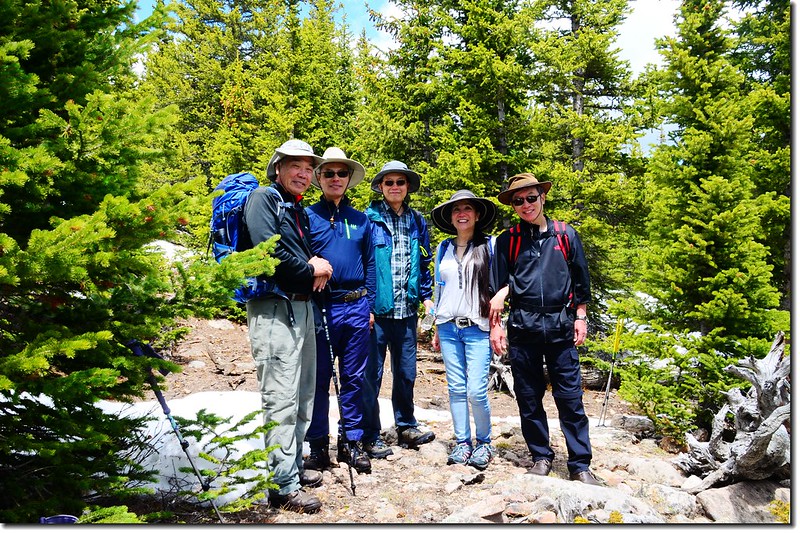
08:50 登山口出發;
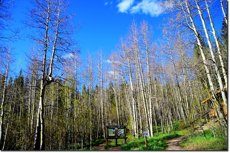
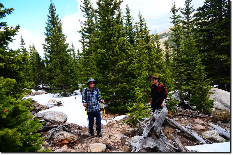
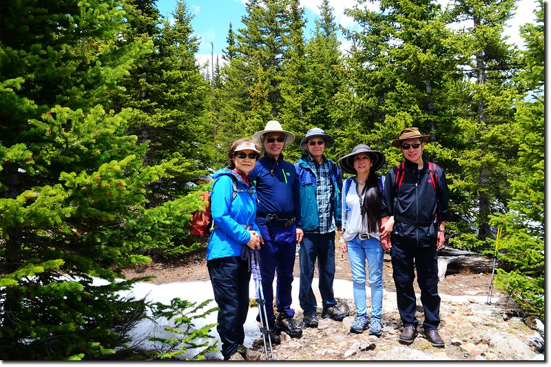
Hells Hole trailhead
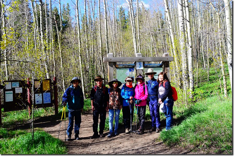
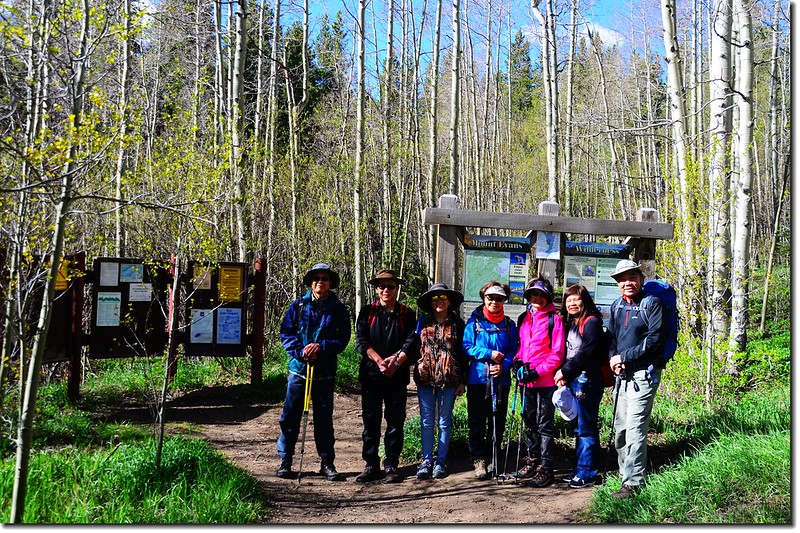
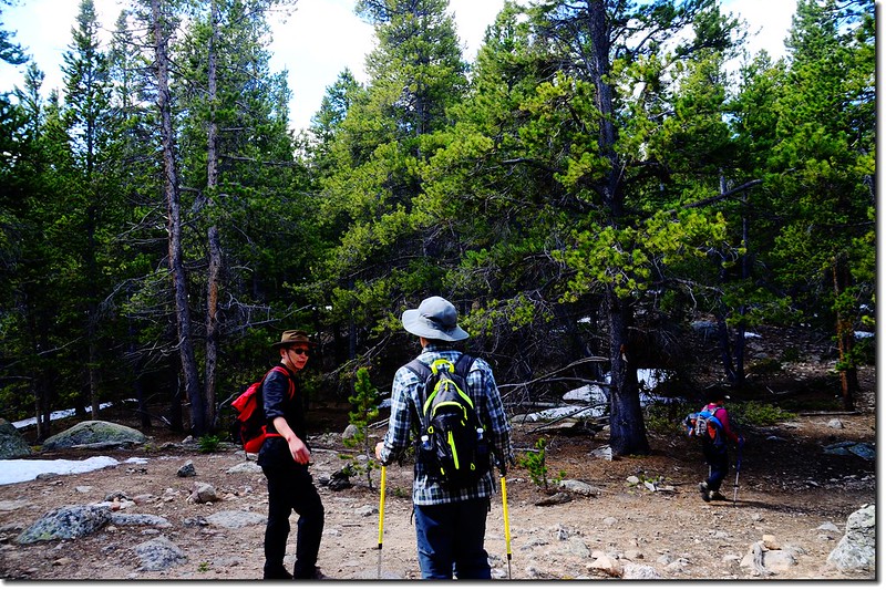
Hells Hole trailhead出發前合照
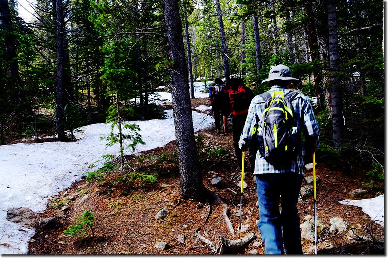
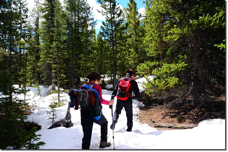
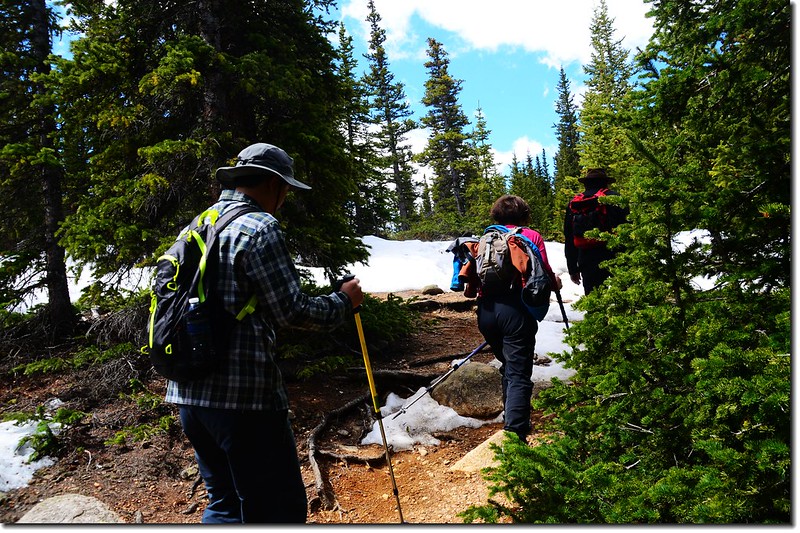
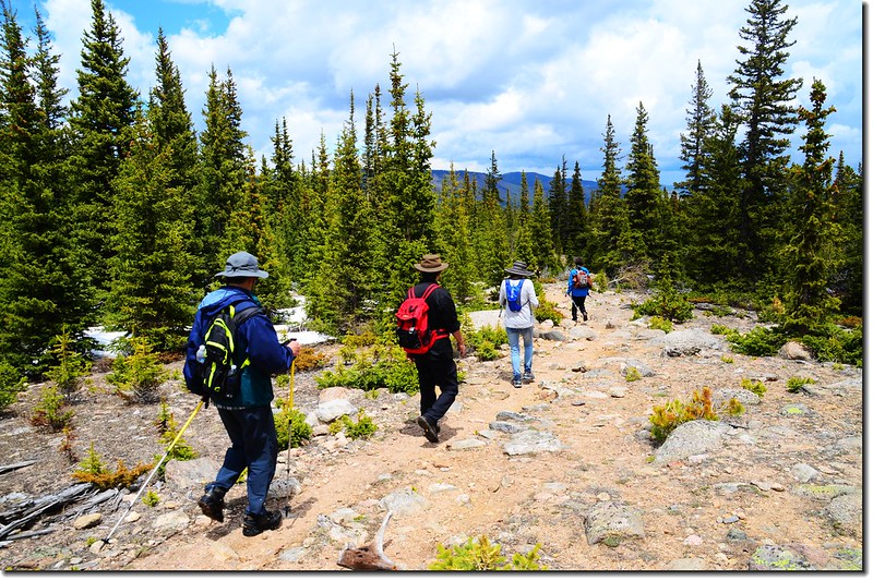
一開始是經過松林夾雜著白楊木的平緩地形,然後穿越兩三處露營地後步道開始在松林間爬升。
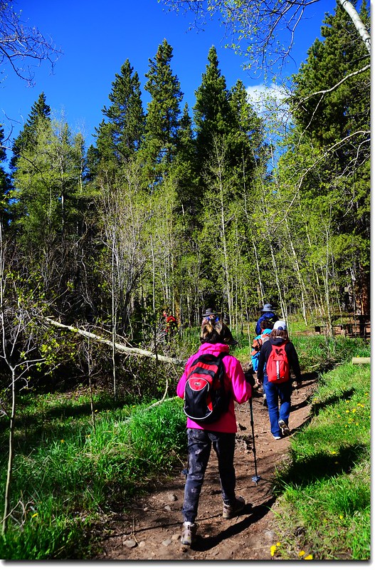
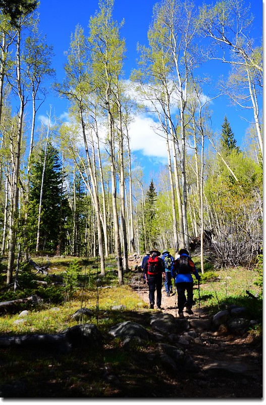
Into the Aspen Grove
09:17 經過小溪,兩根大樹幹為橋,距登山口約0.45哩,步道開始變陡。
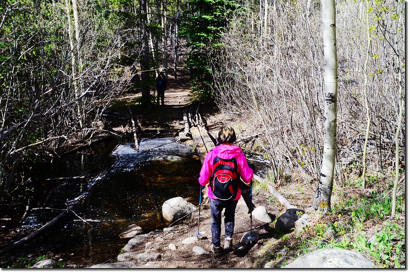
Crossing the creek
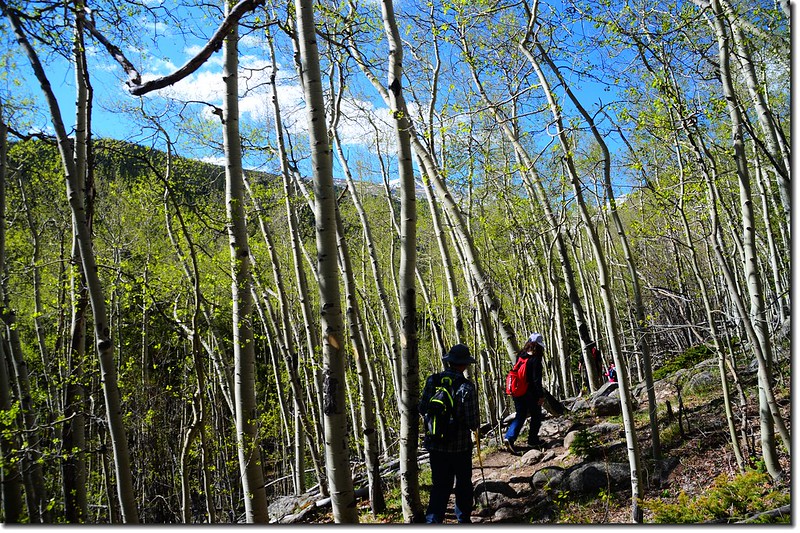
Into the Aspen Grove
09:40 經過界牌,進入“Mount Evans Wilderness”範圍,距登山口約0.95哩,此地已脫離白楊木林範圍進入松林區。
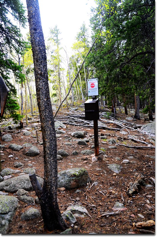
Permit station
09:50 上抵稜線,林間透空處西眺Sugarloft Peak那金字塔狀山頂。
稜線
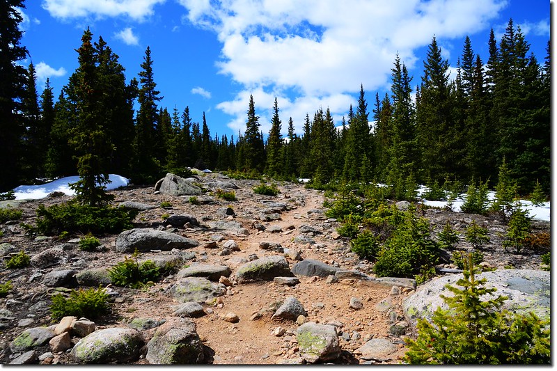
Out of the Woods
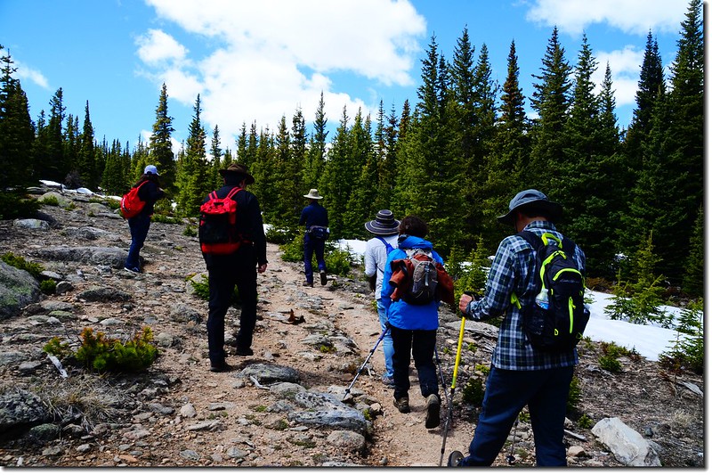
Hells Hole trail
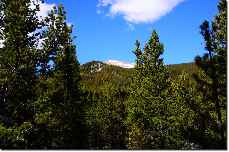
Sugarloaf Peak as seen from West Chicago Creek
Hells Hole trail
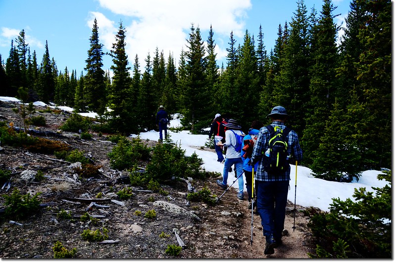
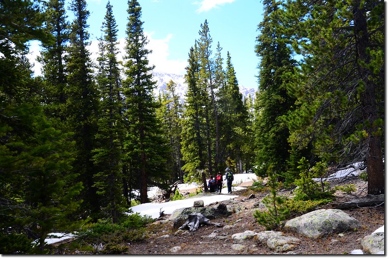
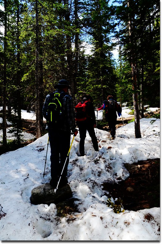
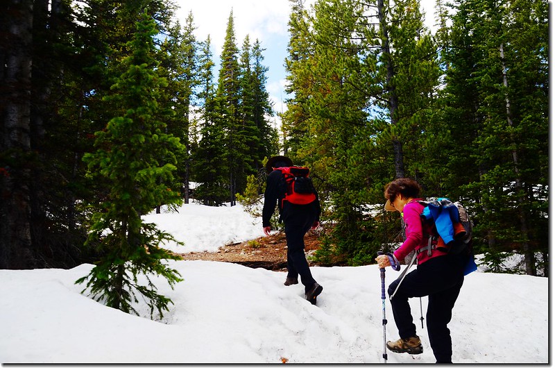
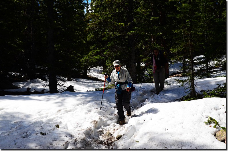
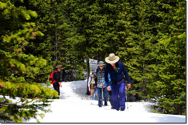
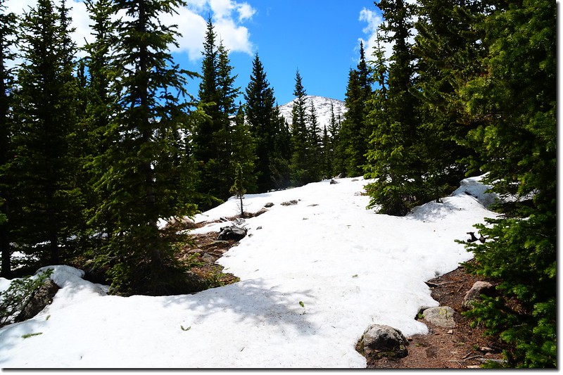
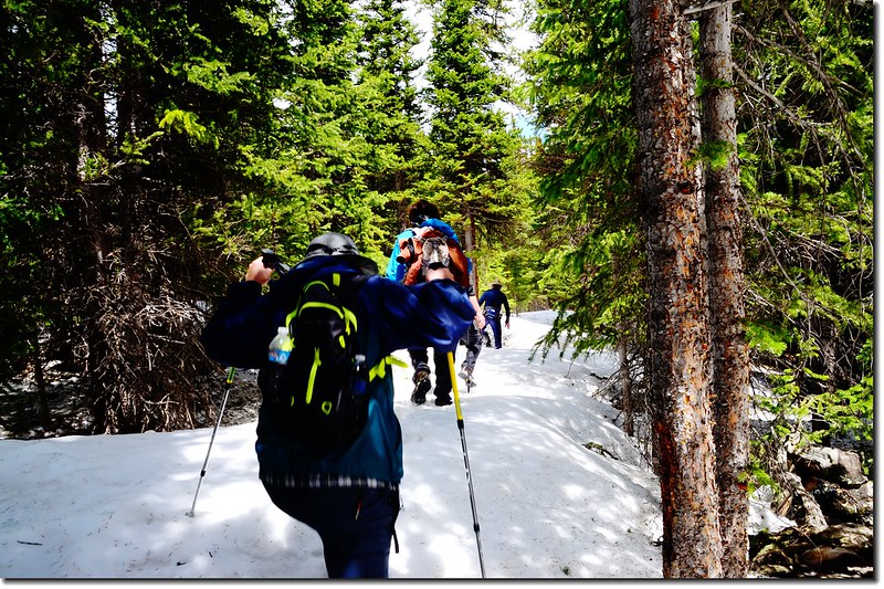
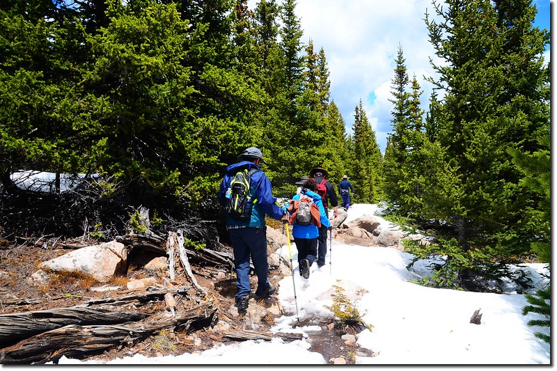
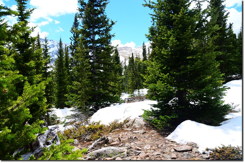
此後山徑較為緩平,但也由於高海拔,積雪越來越厚,甚至於覆蓋整個山徑,完全看不出路跡,為了找尋正確的鹿竟花了不少時間。
Hells Hole trail
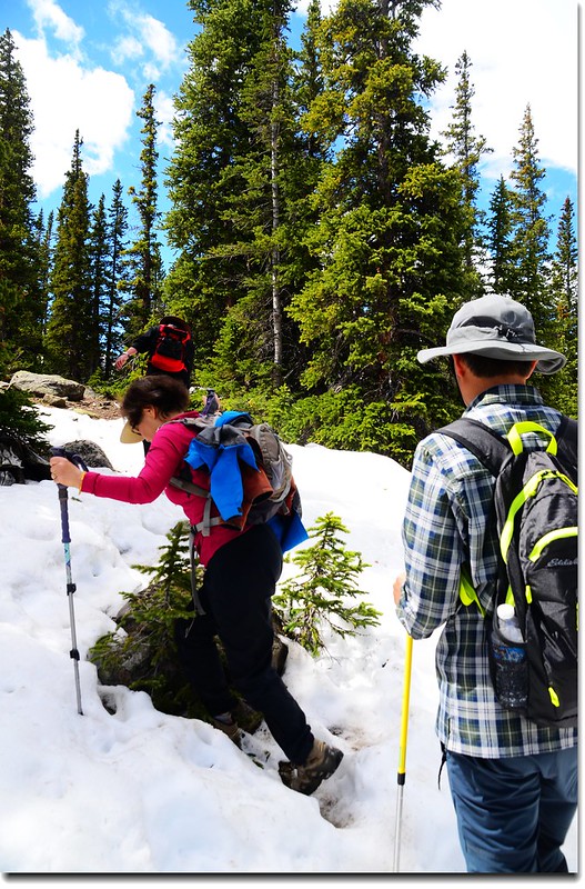
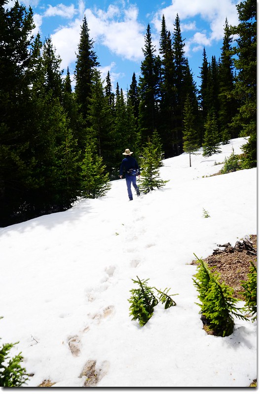
Trail is covered with snow

Sugarloaf Peak as seen from West Chicago Creek

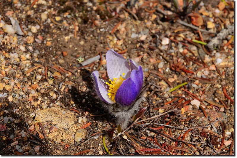
Pasque Flower
Trail is covered with snow
12:15 當行至里程約3.5哩處步道要下切到Gray Wolf Mountain山腳下的河谷中時路徑已很難找,加上天空烏雲漸起,為安全起見徐領隊乃宣布下撤。
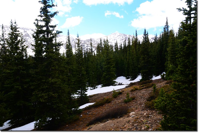
Gray Wolf Mountain(L) as seen from West Chicago Creek Trail
Taken on the Hells Hole Trail
Gray Wolf Mountain(L) as seen from West Chicago Creek Trail
Taken on the Hells Hole Trail
14:20 全員於下午兩點二十分安全返抵登山口,然後搭原車下山。
Mountain view from Hells Hole Trail
★ 行車路線圖(Denver→Hells Hole Trailhead)
★ 點此看放大圖
沒有留言:
張貼留言