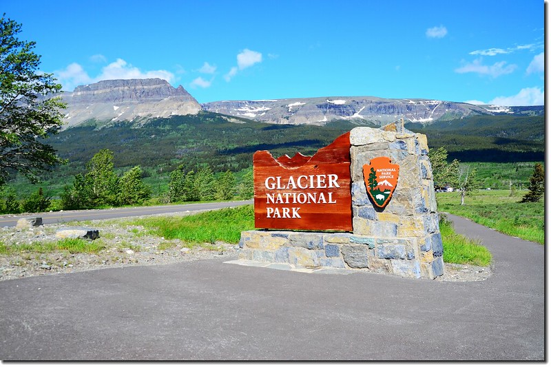
Entrance sign, Glacier National Park, Montana USA
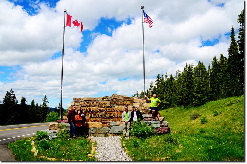
今天主要行程是開車前往加拿大英屬哥倫比亞省(卑詩省)的Radium Hot Springs,沿途順訪美國的因冰川國家公園(Glacier National Park)和加拿大的瓦特頓湖群國家公園(Waterton Lakes National Park),這兩個國家公園於1932年結合成立全世界的第一個國際和平公園~~瓦特頓-冰川國際和平公園(Waterton-Glacier International Peace Park)。
行程簡述:
08:30 由Shelby昨晚住宿的旅館出發(Best Western Shelby Inn & Suites),沿US-2 W公路西行前往今天的第一個景點~美國蒙大拿(Montana)州的冰川國家公園(Glacier National Park)。
此行我們已得知該公園精華路段因積雪尚未完全剷除而未開放,加上此趟行程我們僅將此公園列入路過順便參觀,所以僅從公園的東邊Saint Mary Visitor Center進入沿Saint Mary Lake湖岸沿途參觀,並在Sun Point Nature Trail走了一小段步道,最後開車到Jackson Glacier Overlook便因道路封閉而折返轉往加拿大的Waterton Lakes National Park。
---------------------------------------------------------------------------------------------------------
沃特頓-冰川國際和平公園(Waterton-Glacier International Peace Park)
美國的冰川國家公園(Glacier National Park)建於1910年,位於美國蒙大拿州(Montana)北部,與加拿大的英屬哥倫比亞省和亞伯達省接壤。地理上它位於落磯山脈北部,著名的三分點也在公園內,就是各分水嶺的交會點:三分點以東的降雨最終會經墨西哥灣流入大西洋,以西的降雨最終會流入太平洋,以北的降雨最終會經哈德遜灣流入北冰洋。
該公園於1932年與加拿大亞伯達省(Alberta)的瓦特頓湖群國家公園(Waterton Lakes National Park)結合成立全世界的第一個國際和平公園~~瓦特頓-冰川國際和平公園(Waterton-Glacier International Peace Park);兩個國家公園都被聯合國教科文組織宣布為生物圈保護區,並聯合成為一處世界自然遺產。瓦特頓湖群國家公園(Waterton Lakes National Park)面積526平方公里,冰河國家公園(Glacier National Park)面積4051平方公里,劉易斯山脈(Lewis Range)和利文斯頓山脈(Livingston Range)穿越其中,動植物種類豐富,同時擁有山地和冰川的面貌,包括很多典型的冰川湖、巍峨的高山、成片的林帶與寬廣的草原,風景琦麗,每年都會吸引無數遊客前來觀光、攝影。
---------------------------------------------------------------------------------------------------------
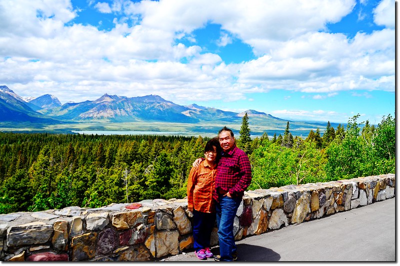
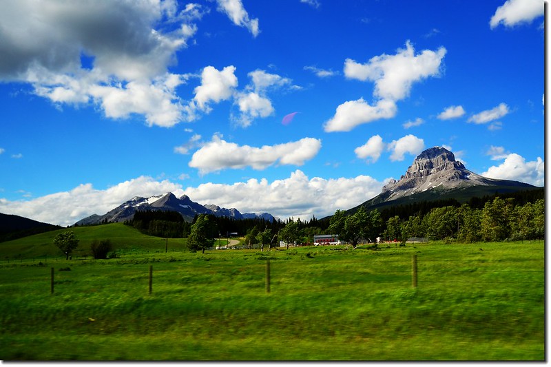
09:47 在US-89公路一處轉彎處極佳展望點。
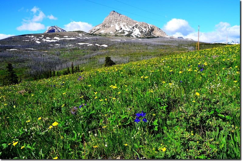
US-89公路展望點
US-89公路沿途展望
10:17 路左一處新近完成的展望點,設置有印第安勇士及印地安帳篷(Tepee)鋼製雕塑。
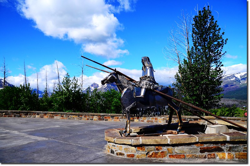
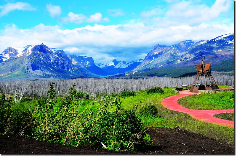
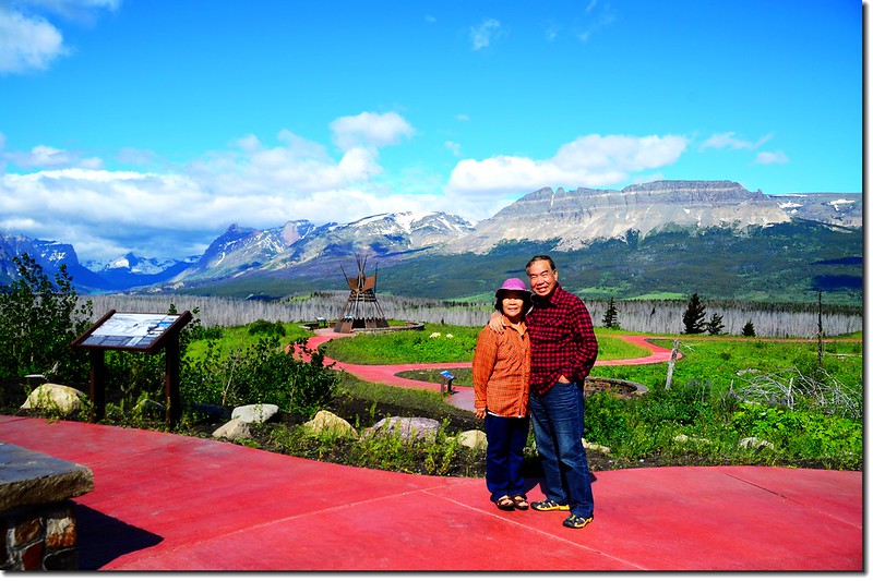
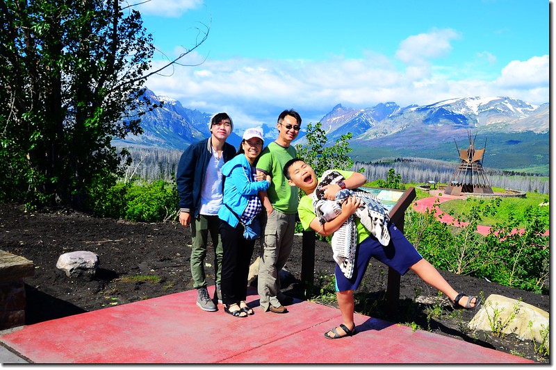
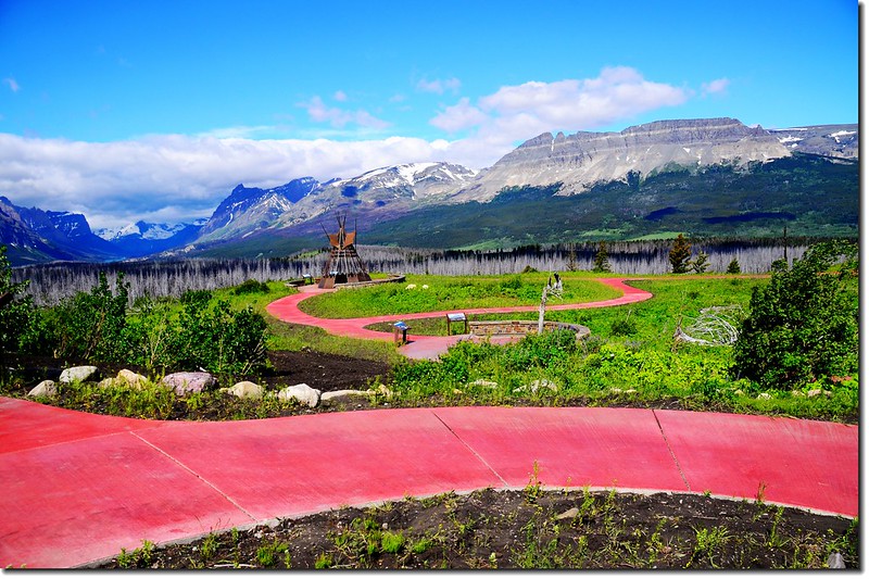
US-89公路展望點二
10:26 抵達冰川國家公園遊客中心(Saint Mary Visitor Center);
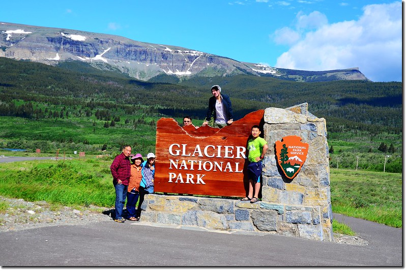
Entrance sign, Glacier National Park, Montana USA
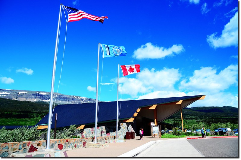
Saint Mary Visitor Center, Glacier National Park
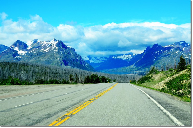
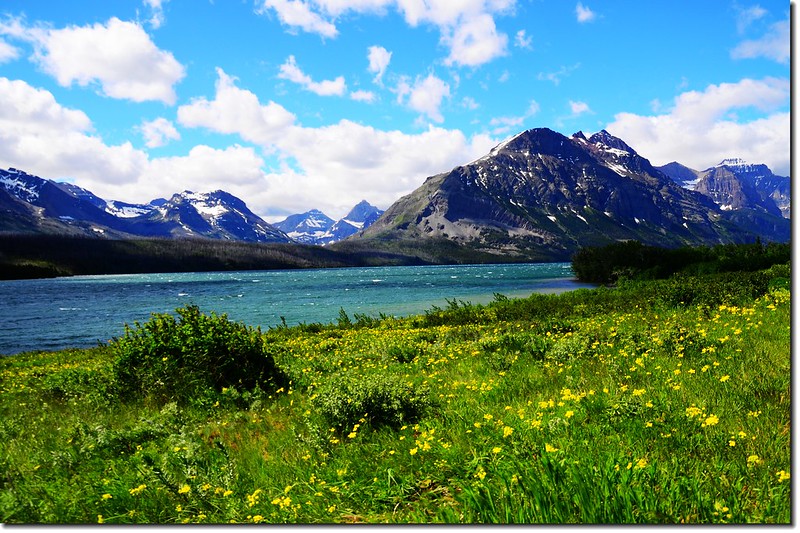
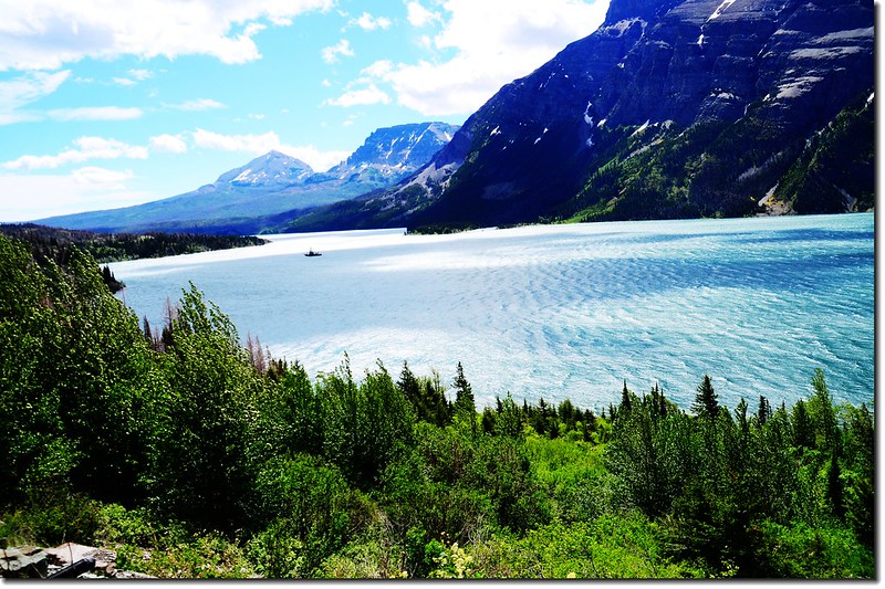
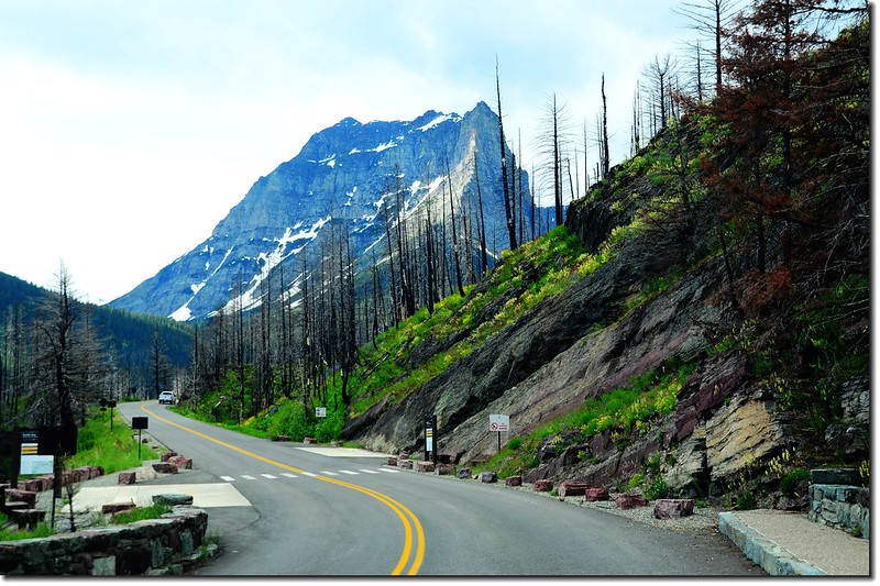
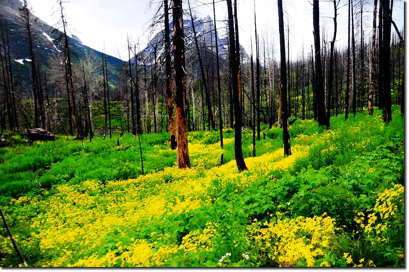
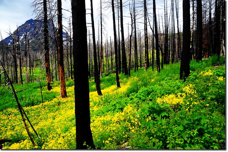
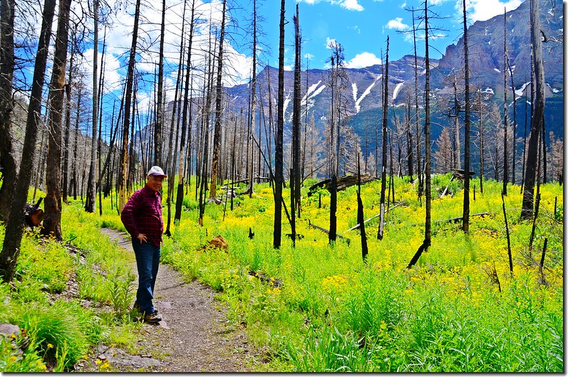
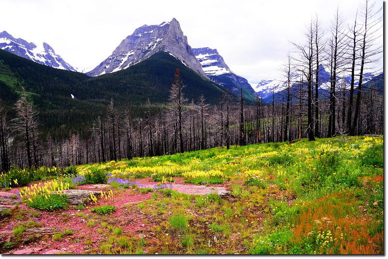
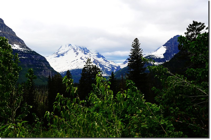
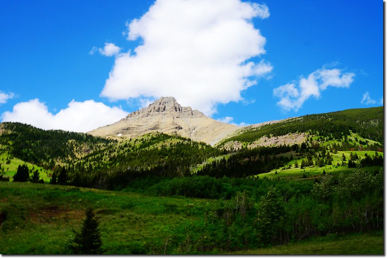
索取相關資訊後進入公園,沿著Saint Mary Lake湖岸的Going To The Sun Road沿途參觀。
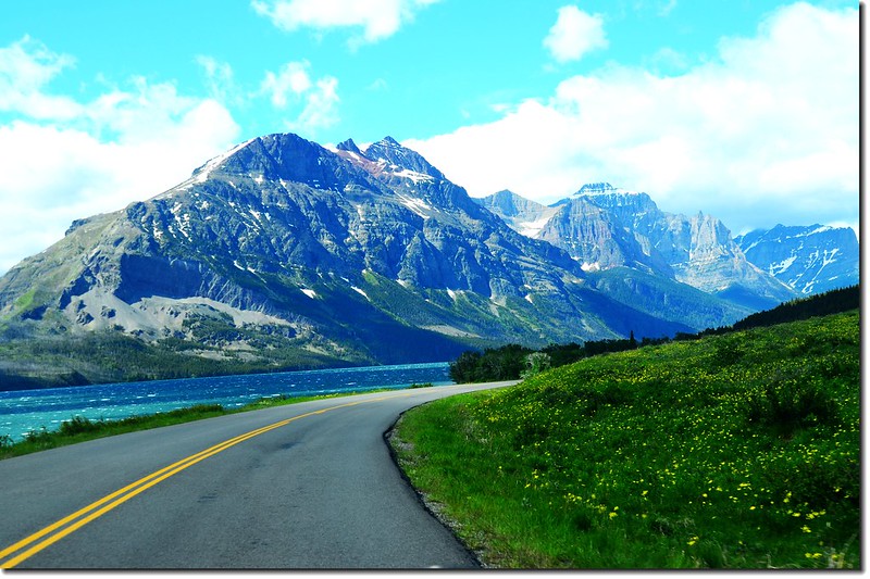
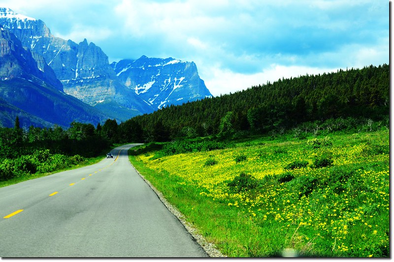
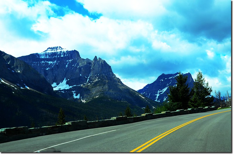
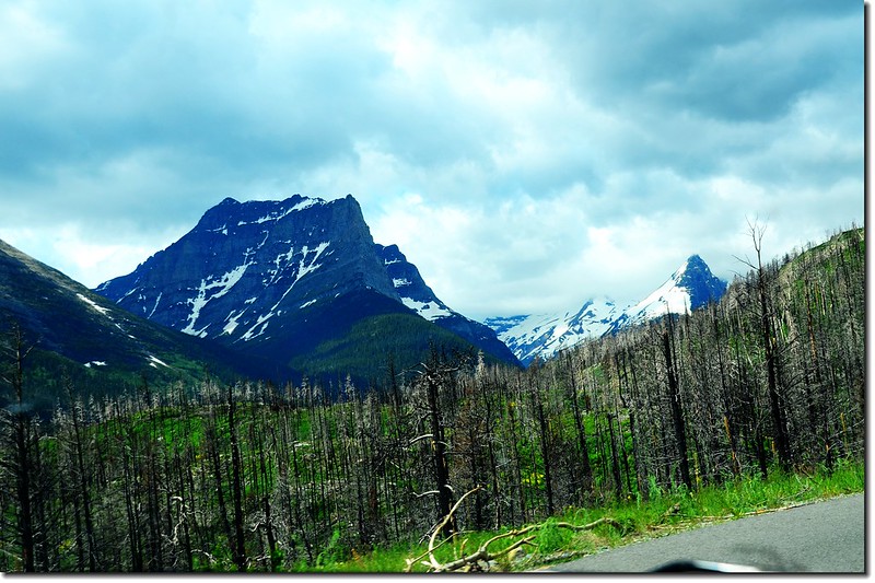
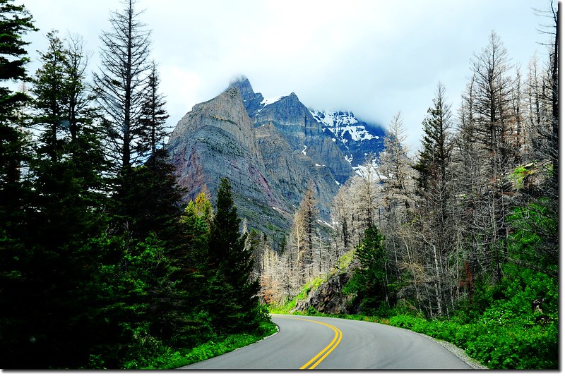
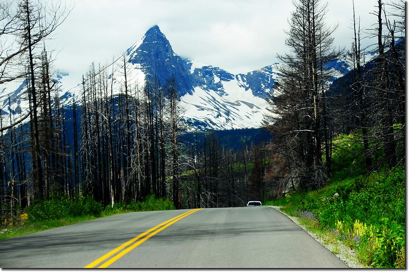
Going To The Sun Road沿途景觀
11:10 抵達Sun Point Nature Trailhead,在此順著步道下行。
Sun Point Nature Trailhead
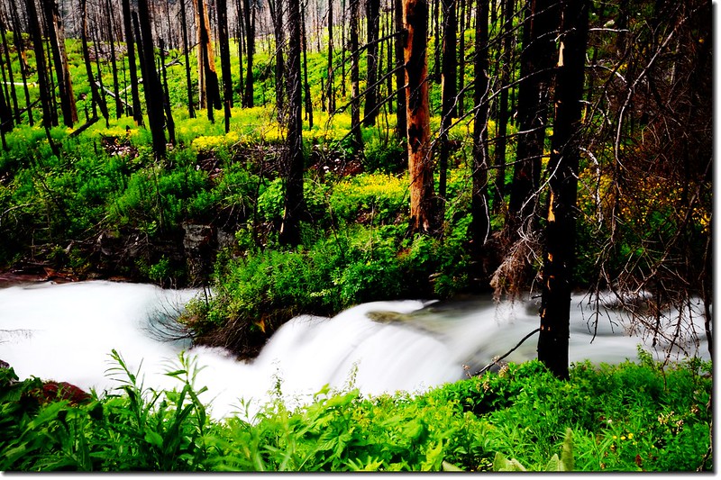
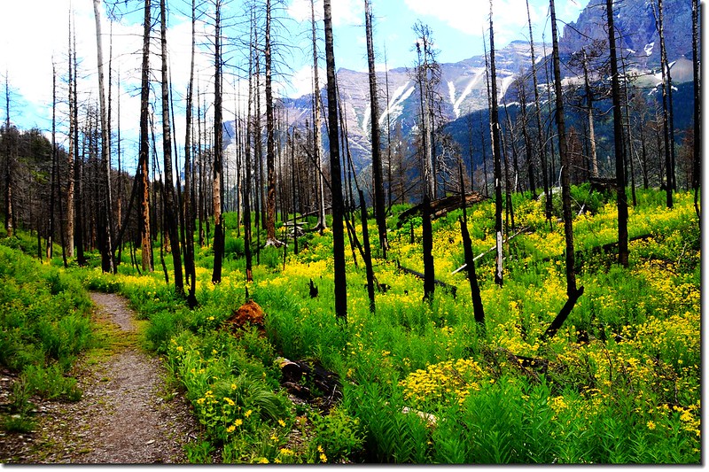
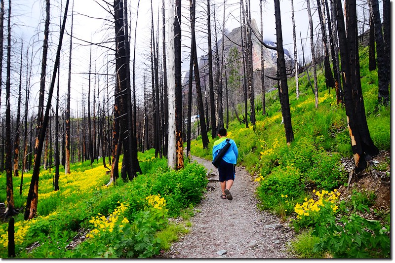
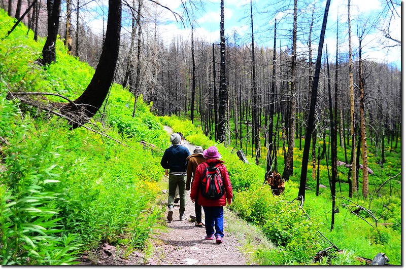
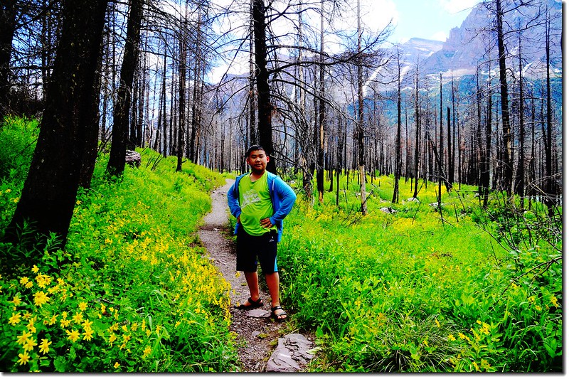
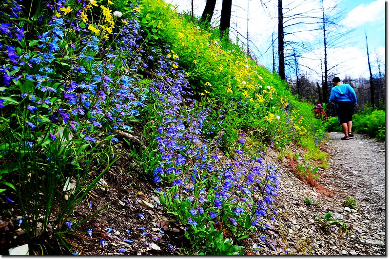
Sun Point Nature Trail
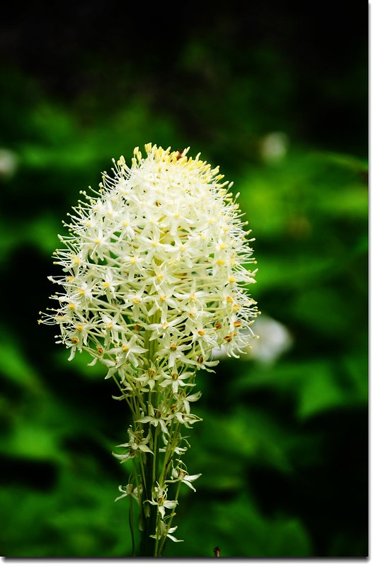
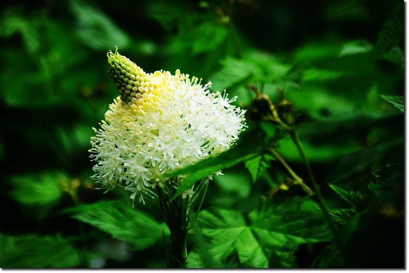
Bear Grass
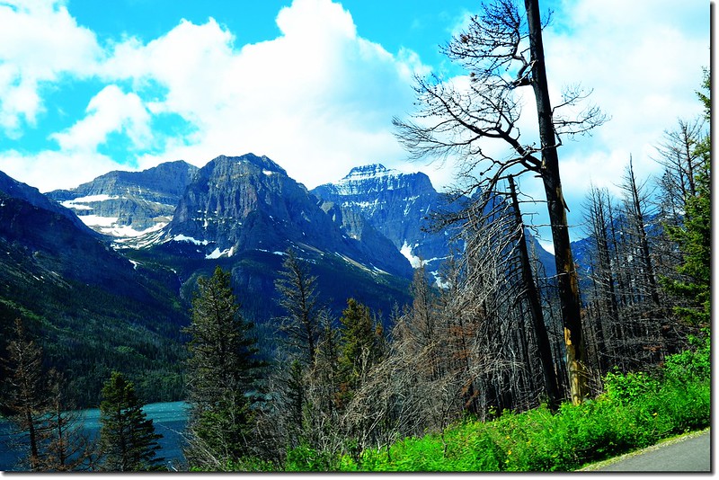
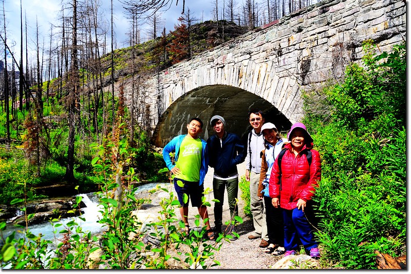
11:35 抵達Baring Falls,如要走到Saint Mary Falls要花費不少時間,我們沒安排此行程在Baring Falls參觀後原路折返。
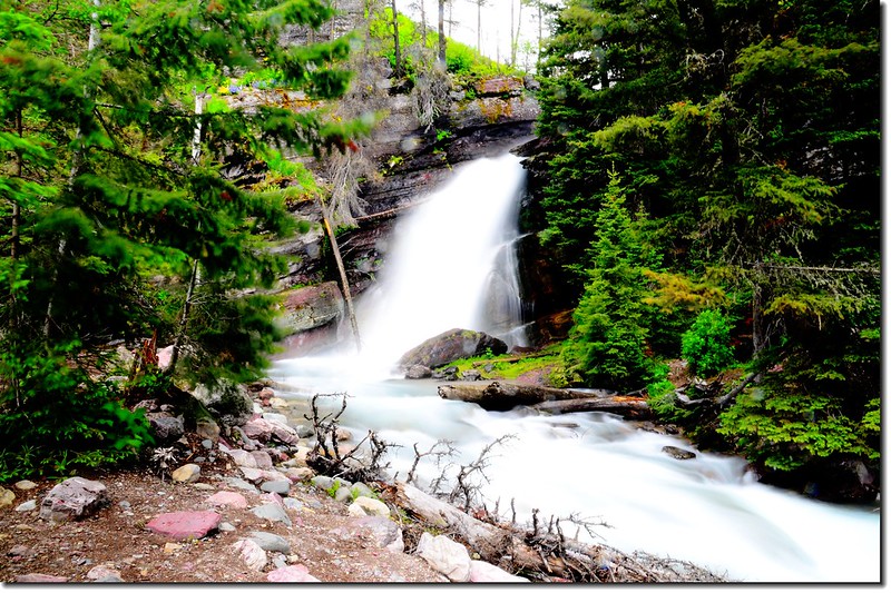
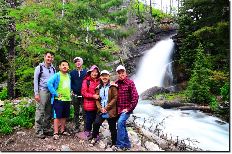
Baring Falls
回到登山口後開車續往西行。
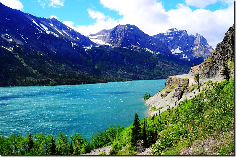
Going To The Sun Road沿途景觀
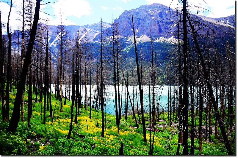
Saint Mary Lake
Going To The Sun Road沿途景觀
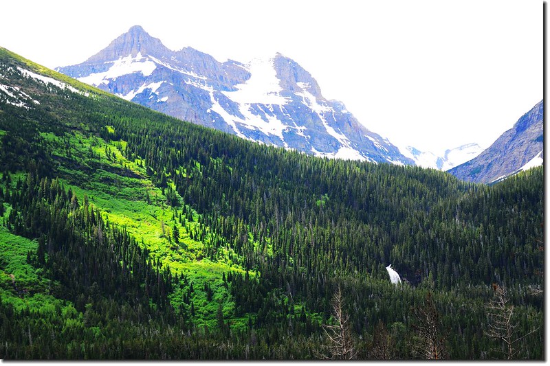
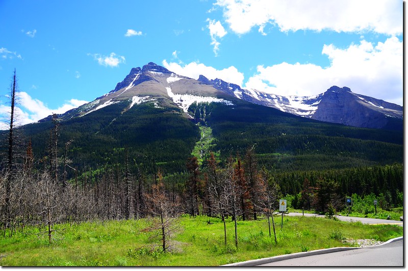
12:10 抵達Jackson Glacier Overlook,此後道路即封閉未開放,在此遙望遠方的Jackson Glacier後循原路(Going To The Sun Road)回行離開Glacier National Park前往加拿大的Waterton Lakes National Park。
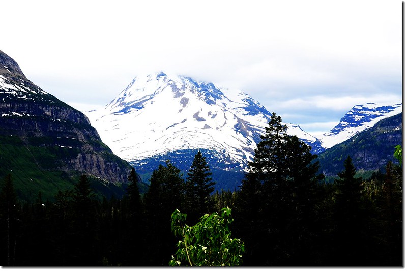
Overlooking onto The Jackson Glacier from Jackson Glacier Overlook
由冰川國家公園遊客中心(Saint Mary Visitor Center)出來後左轉US-89公路北行,12.9哩後左轉MT-17 N(又稱為Chief Mountain Hwy)道路朝西北行。
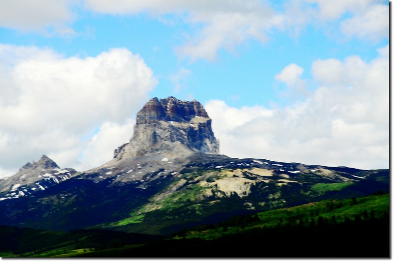
Chief Mountain on the border of Glacier National Park
13:23 蒙大拿MT-17 Hwy行約 14.2哩後抵達美加的邊界關卡Chief Mountain Border Crossing;
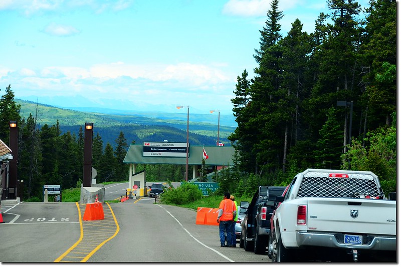
Chief Mountain border crossing
此關卡僅在夏季期間開放,通常是五月中旬至十月,準備取道這一處關卡的朋友必須注意其開放日期;過此關卡台灣旅客是免簽的。
過關進入加拿大後便是加拿大亞伯達省(Alberta)的瓦特頓湖群國家公園(Waterton Lakes National Park);
The park's sign at the Chief Mountain border crossing
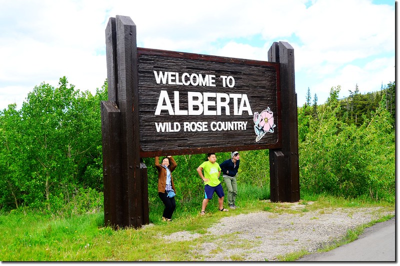
The sign of Alberta
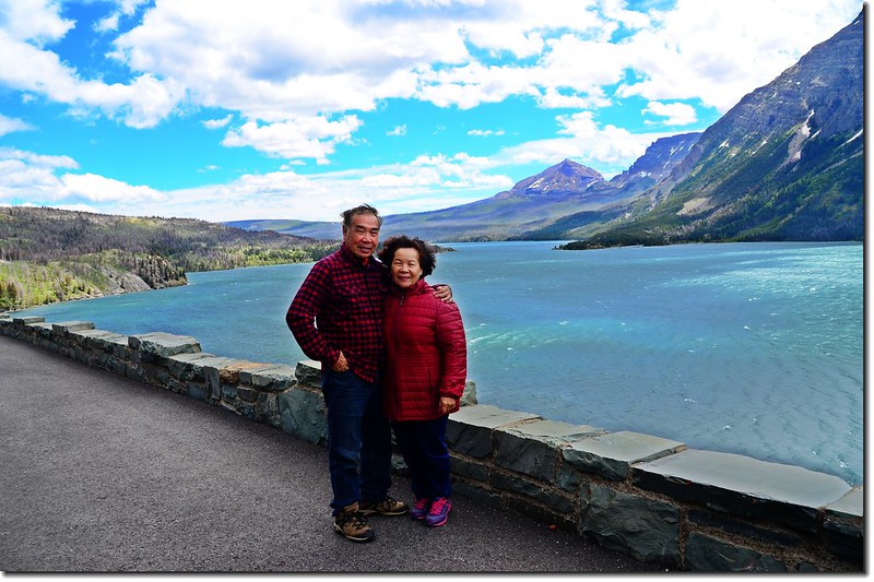
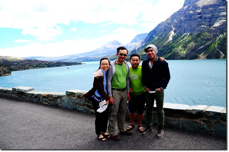
沿著AB-6 N道路北行,13.7哩後左轉AB-5 W前往遊客中心(Waterton Lakes National Park of Canada visitor center)。
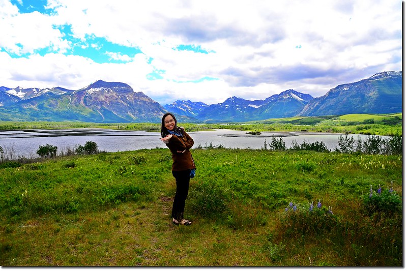
Waterton Lakes National Park
14:15 抵達Waterton Lakes National Park of Canada visitor center,拿了些公園資訊後到附近的Prince of Wales Hotel參觀一下。
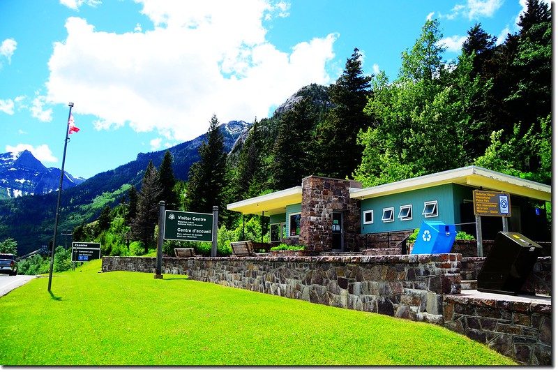
Waterton Lakes National Park Visitor Center
14:25 抵達在Visitor Center對面的的瑞士農舍式的威爾士王子酒店(Prince of Wales Hotel),該飯店建於1927年,是Waterton Lakes National Park的象徵,獨特的建築風格,加之孤立高原、依山傍水的地理位置,使其成為Waterton Lakes National Park的畫龍點睛之作。
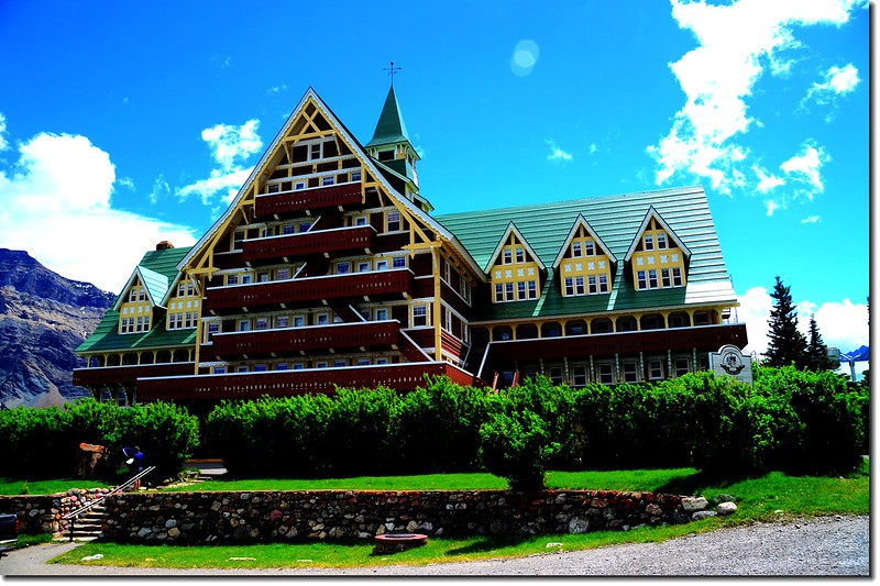
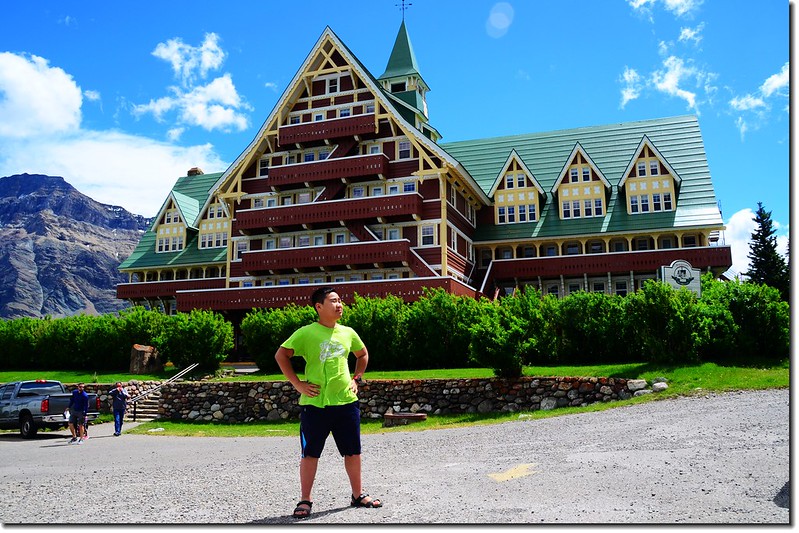
Prince of Wales Hotel
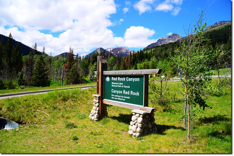
參觀了Prince of Wales Hotel之後便驅車前往公園Rangers推薦的Red Rock Canyon;由Visitor Center循原路AB-5 E回行1.8哩後左轉Range Rd 300A再接Red Rock Pkwy西北行約8.8哩即抵達Red Rock Canyon。
Waterton Lakes National Park
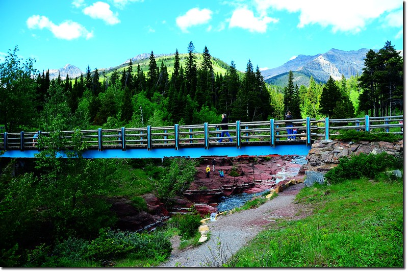
14:50 抵達Red Rock Canyon。
Red Rock Canyon
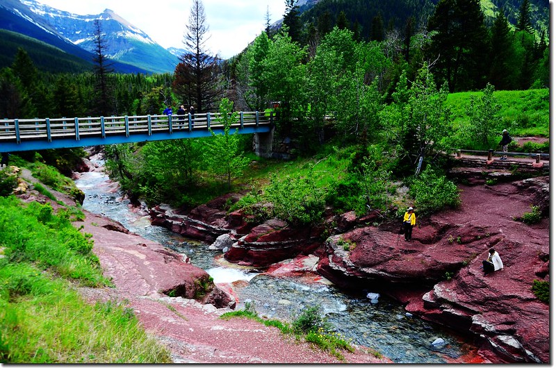
Waterton Lakes National Park的地質經考古學家研究發現大概有16億年的歷史,Red Rock Canyon紅色的岩層是當年屬於Precambian Ocean海底的一部分,經造山運動推擠上升再經河流長期切割行成的;
Red Rock Canyon
Red Rock Canyon有多條登山步道,我們限於時間僅選一條最短最簡單的Red Rock Canyon Loop Trail來走,該條步道是沿著峽谷上緣兩側走一圈,僅0.7公里長,不道20分鐘便走完。
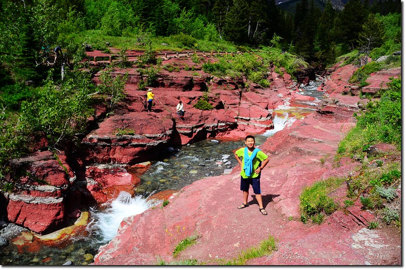
Red Rock Canyon
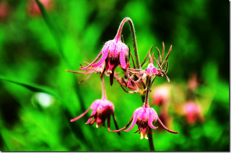
Prairie Smoke(Old Man's Whiskers)
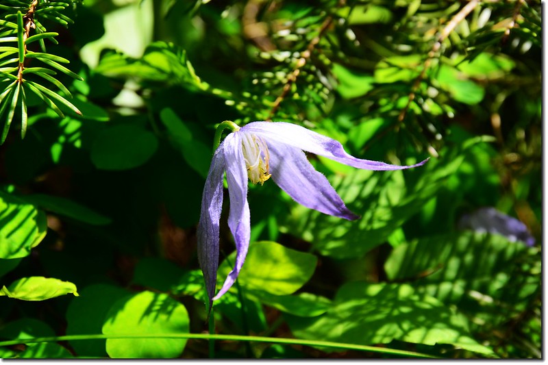
Blue virgin's bower
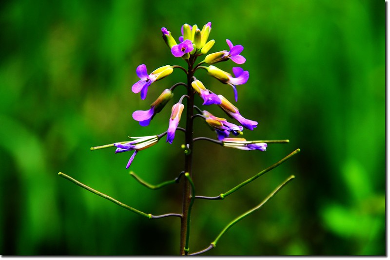
待查?
15:20 離開 Red Rock Canyon,一路沿亞伯達省的AB-3公路進入不列顛哥倫比亞省(卑詩省),經BC-93 N和BC-95 N驅車前往今晚的住宿地~~ Radium Hot Springs。
Chief Mountain on the border of Glacier National Park
19:55 抵達Radium Hot Springs,我們住在Mountain Springs Motel(4870 Radium Blvd, Radium Hot Springs, BC V0A 1M0加拿大)。
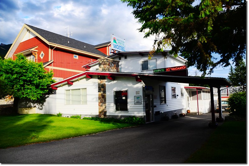
Mountain Springs Motel, Radium Hot Springs
★ 今日行車約430哩(788公里)
行車路線:
→點此看放大圖
沒有留言:
張貼留言